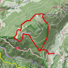
Hotel Muhr: circular hike via Schloffereck and Gschaid

Randonnée

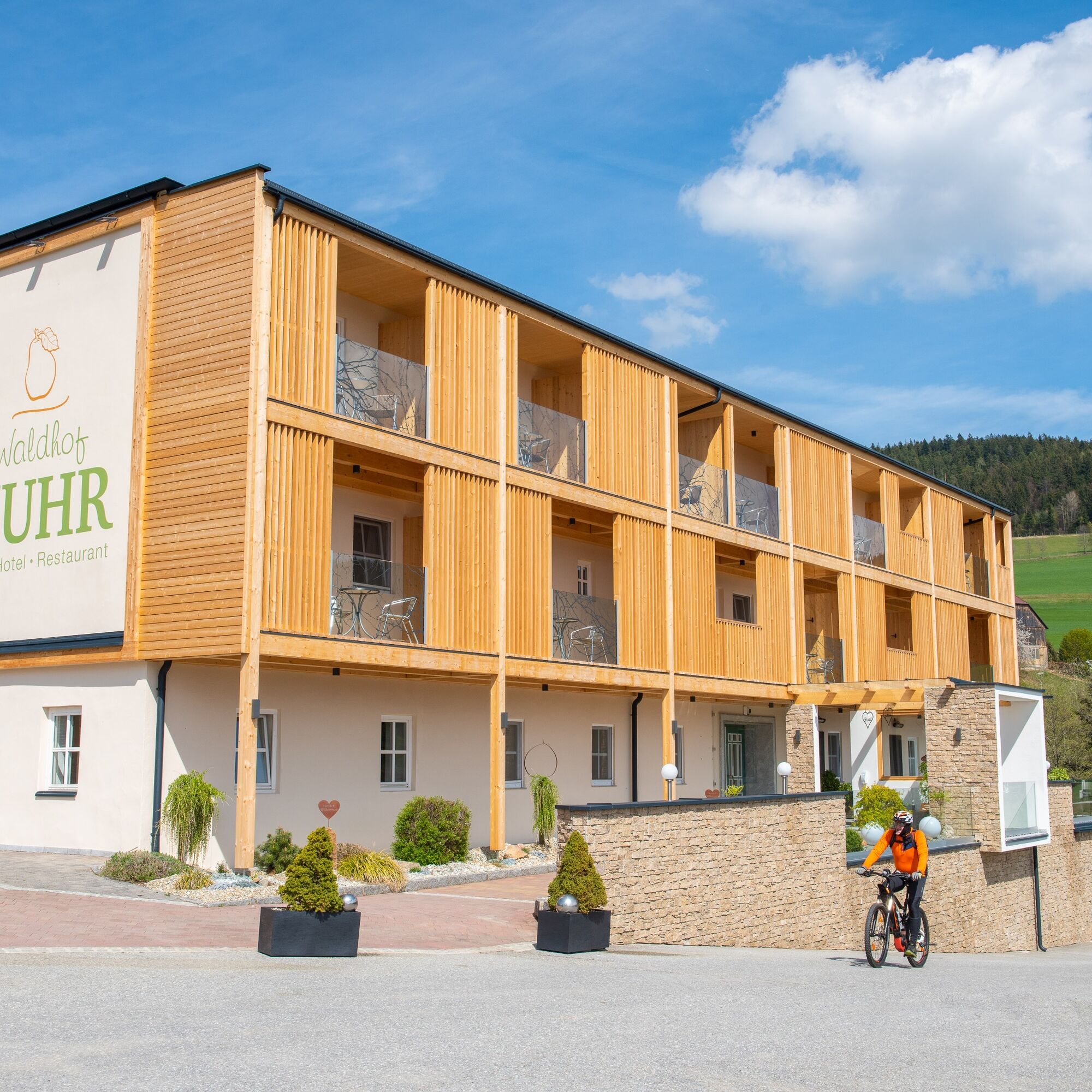
© Oststeiermark Tourismus - © Waldhof Muhr, Fotograf: Helmut Schweighofer

© Oststeiermark Tourismus - © Werner Krug - Hotel Muhr

© Oststeiermark Tourismus - Hotel Muhr
- Brève description
- Difficulté
-
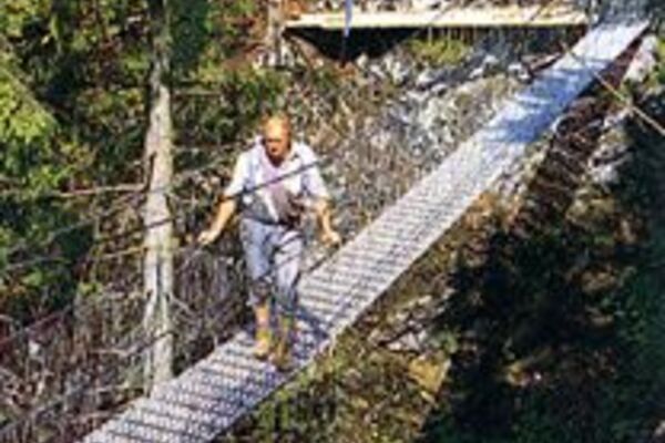
difficile
- Évaluation
-
- Parcours
-
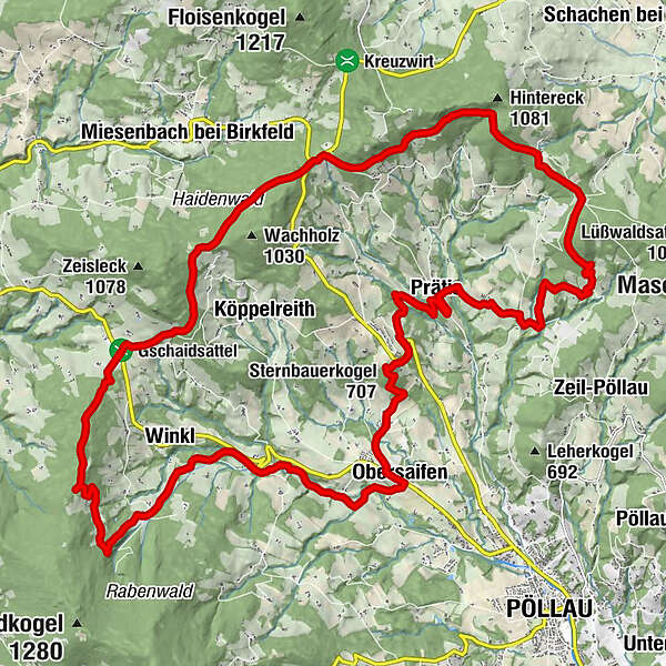
Hotel- Restaurant Muhr0,0 kmGashaus Derler18,2 kmWinkl18,6 kmObersaifen22,8 kmOberhochegg23,1 kmSternbauerkogel (707 m)25,5 kmPrätis28,8 kmKrughöf29,7 kmStraßhöf30,6 kmHotel- Restaurant Muhr32,5 km
- Meilleure saison
-
janv.févr.marsavrilmaijuinjuil.aoûtsept.oct.nov.déc.
- Hauteur maximale
- 1.011 m
- Point de mire
-
Pöllauberg, Hotel Muhr
- Profil en hauteur
-


- Auteur
-
La randonnée Hotel Muhr: circular hike via Schloffereck and Gschaid est utilisé par outdooractive.com fourni par.
GPS Downloads


Informations générales
Point de rassemblement
Climat thérapeutique
Flore
Faune
Prometteur
Autres parcours dans les régions
-
Oststeiermark
2126
-
Naturpark Pöllauer Tal
1095
-
Miesenbach bei Birkfeld
350