© Unbekannt - Günther Steininger

© Erlebnisregion Thermen- & Vulkanland - Werner Krug

© Erlebnisregion Thermen- & Vulkanland - Werner Krug

© Erlebnisregion Thermen- & Vulkanland - Werner Krug

© Erlebnisregion Thermen- & Vulkanland - Thomas Gußmagg

© Erlebnisregion Thermen- & Vulkanland - Werner Krug

© Erlebnisregion Thermen- & Vulkanland - Werner Krug

© Erlebnisregion Thermen- & Vulkanland - Werner Krug

© Erlebnisregion Thermen- & Vulkanland - Thomas Gußmagg

© Erlebnisregion Thermen- & Vulkanland - Werner Krug
- Brève description
-
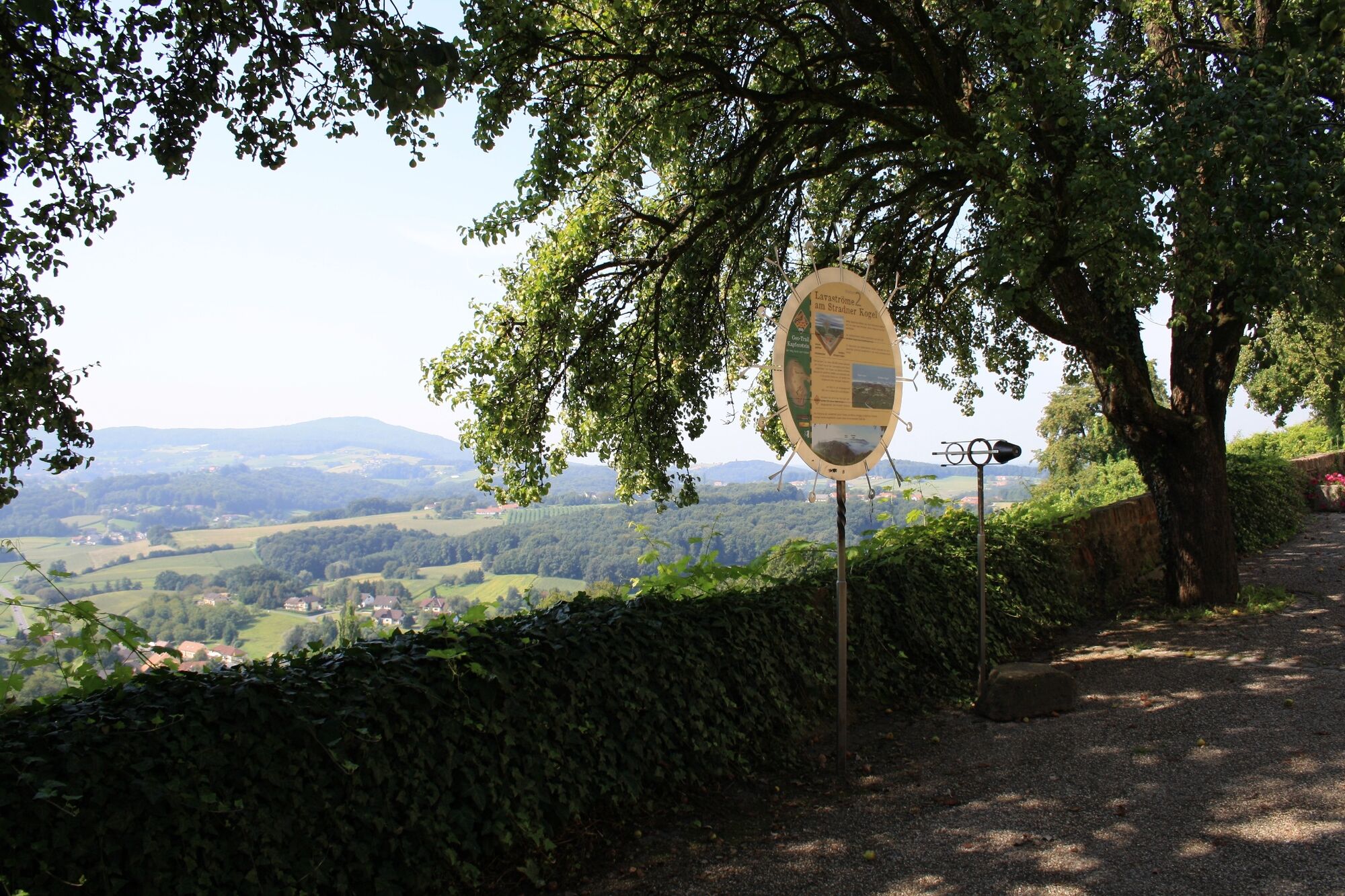
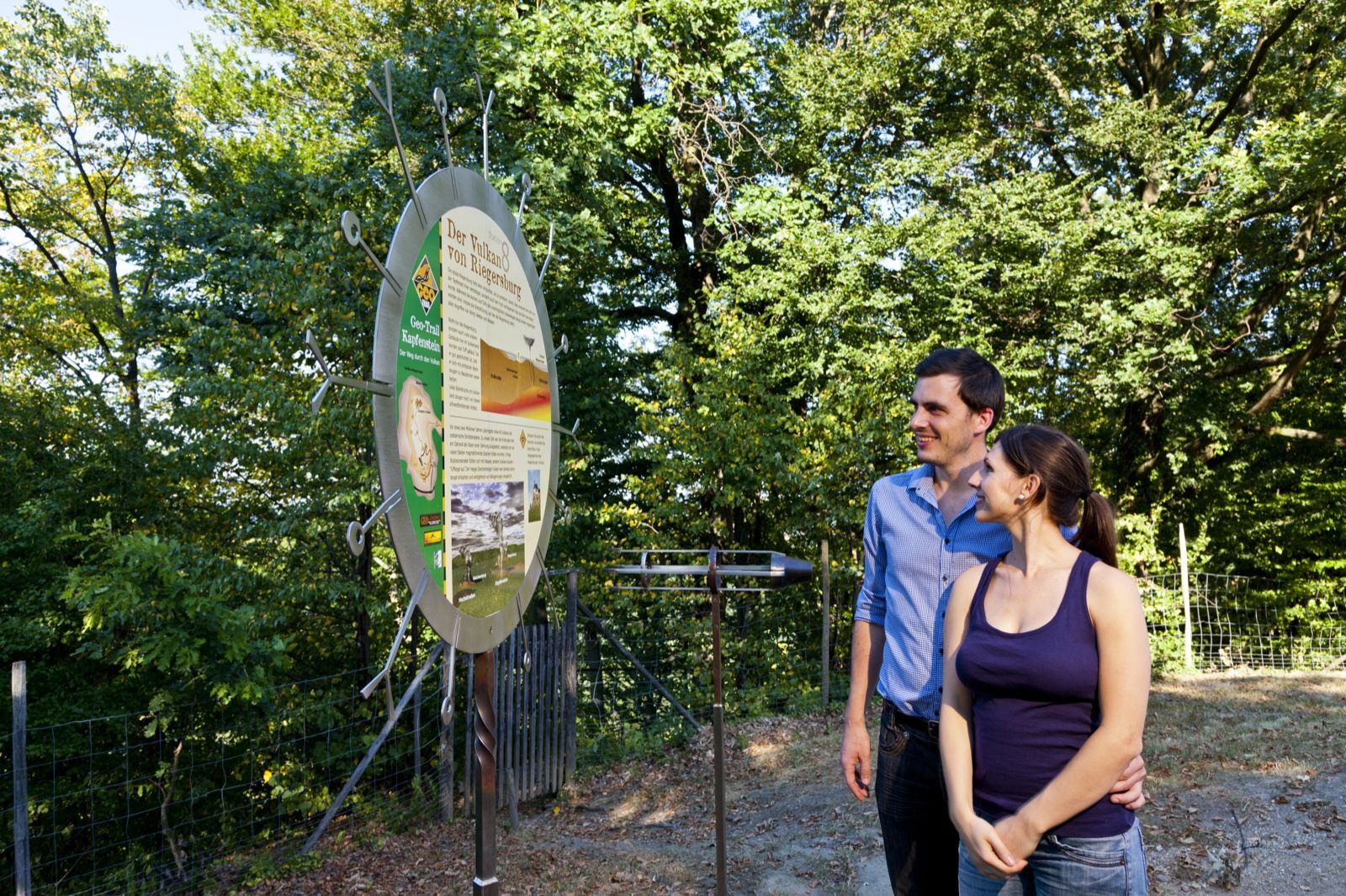
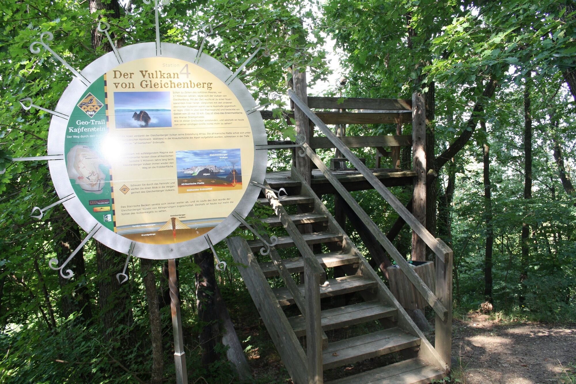
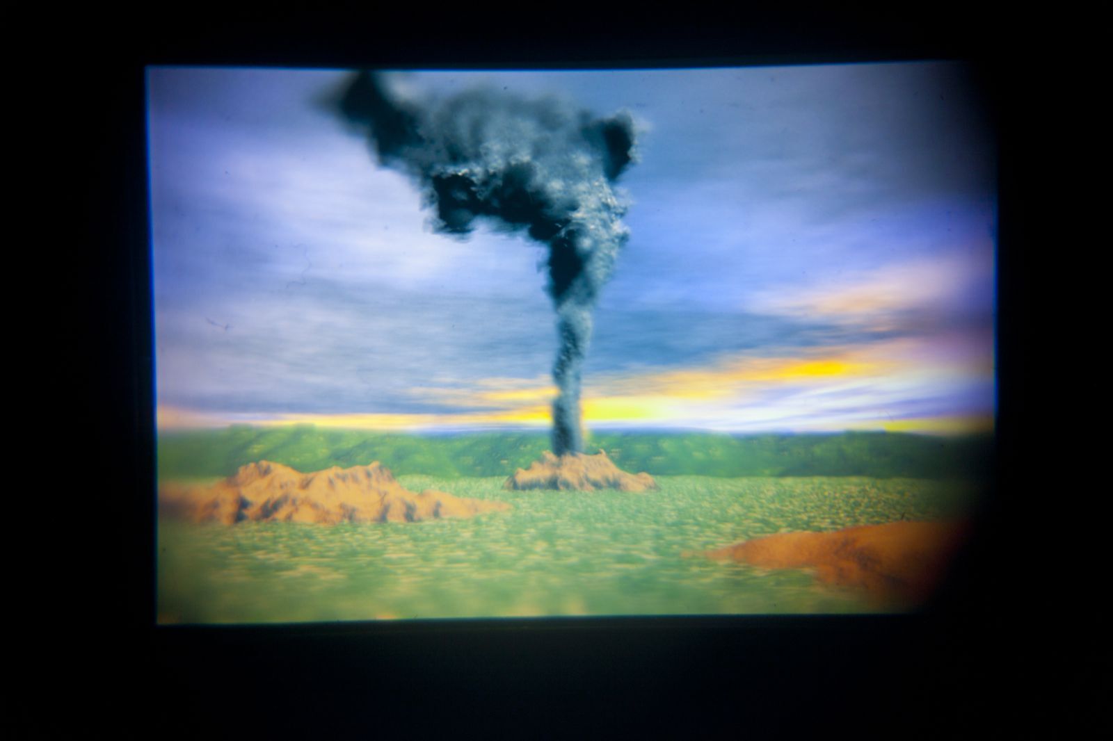
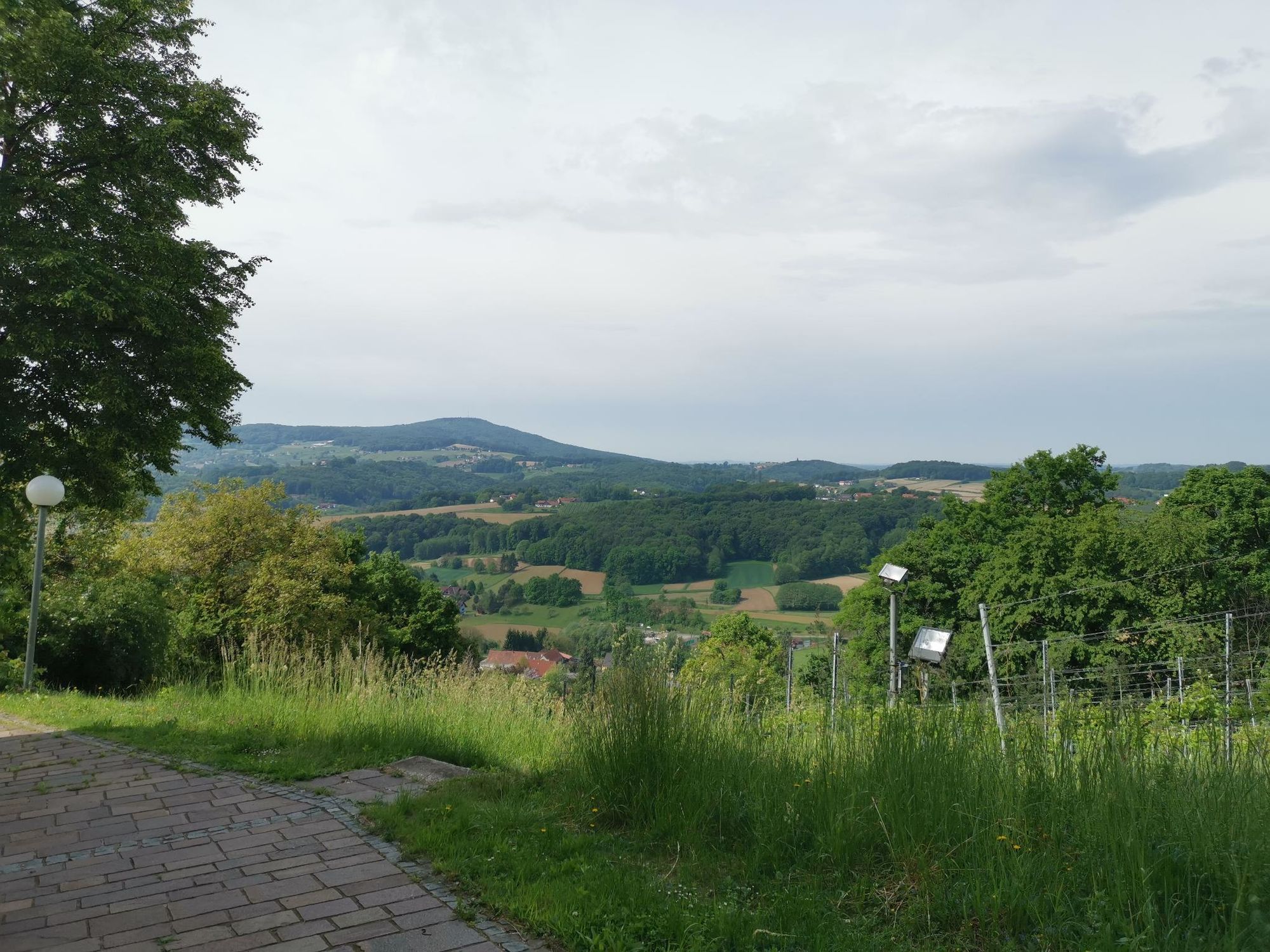
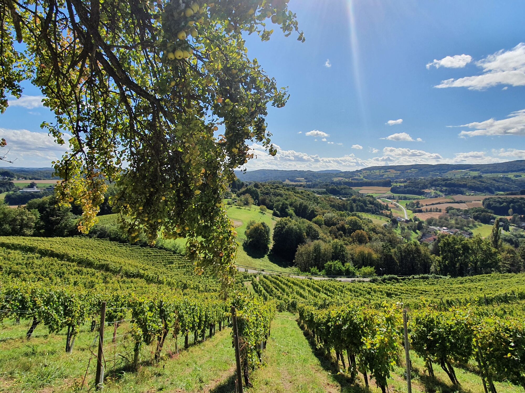
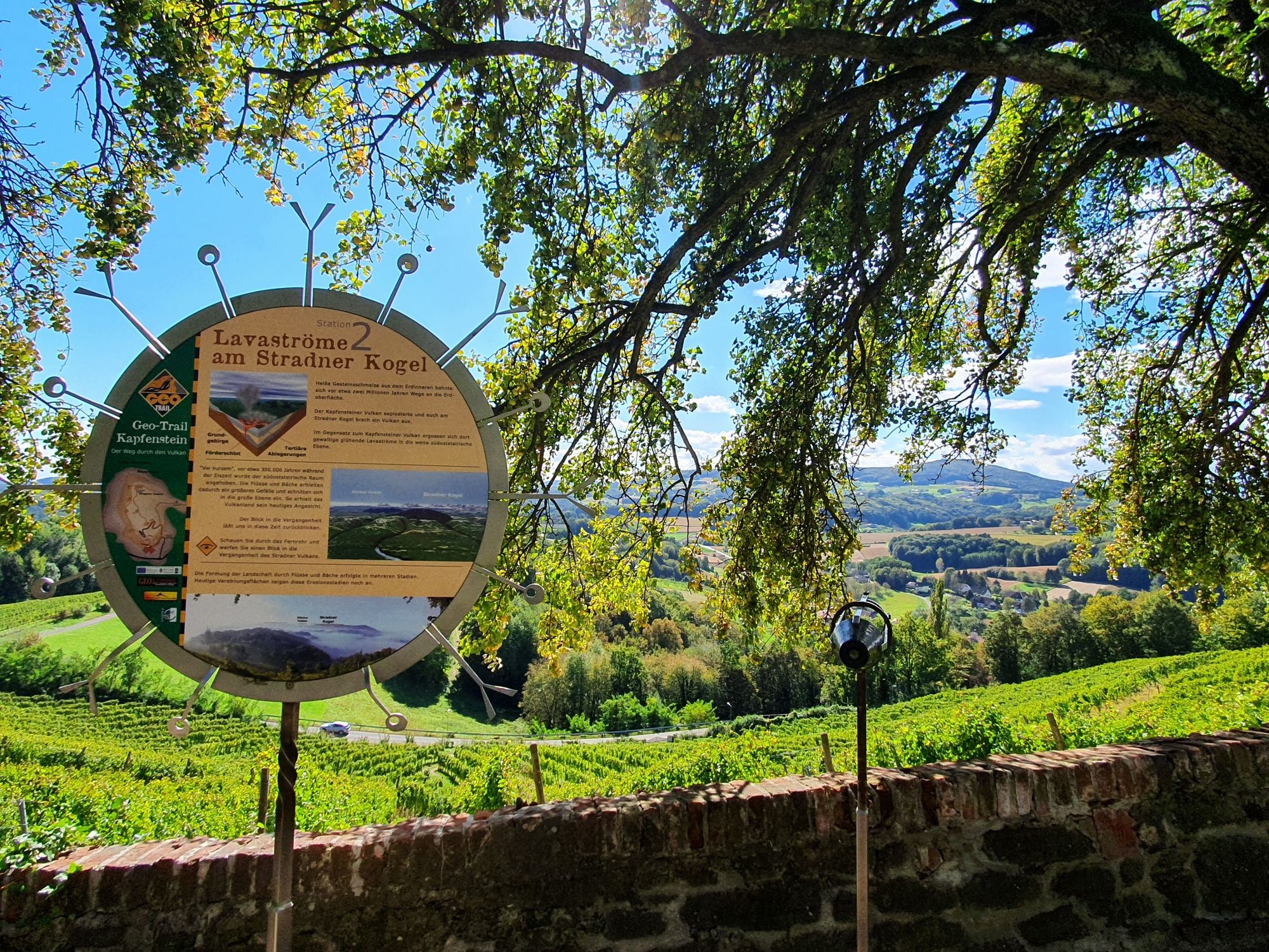
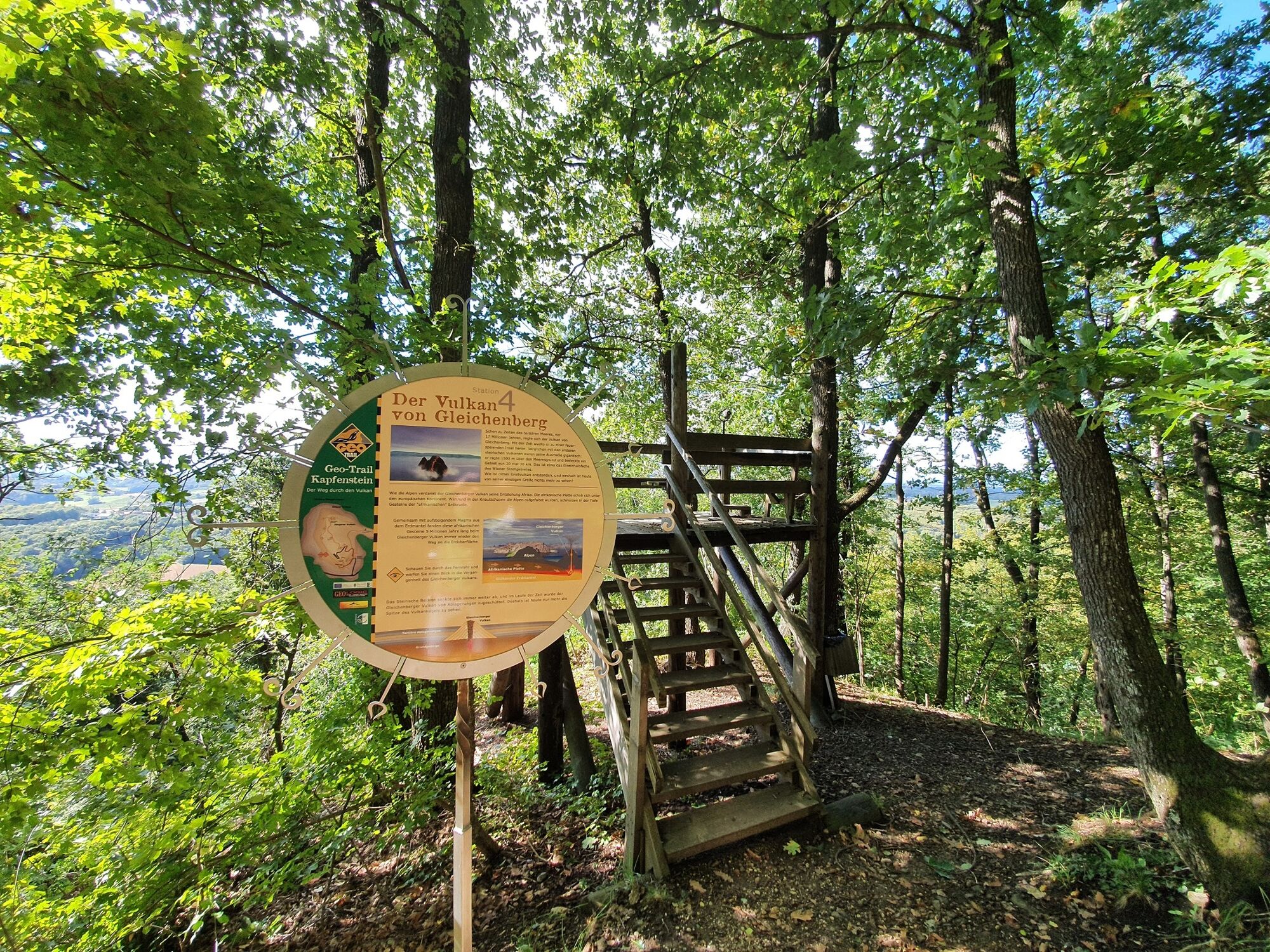
See, experience and marvel - A hiking trail through the volcano all under the sign of the earth's history!
- Difficulté
-
facile
- Évaluation
-
- Parcours
-
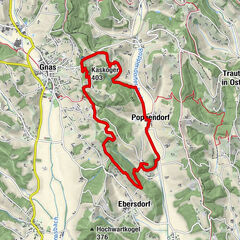
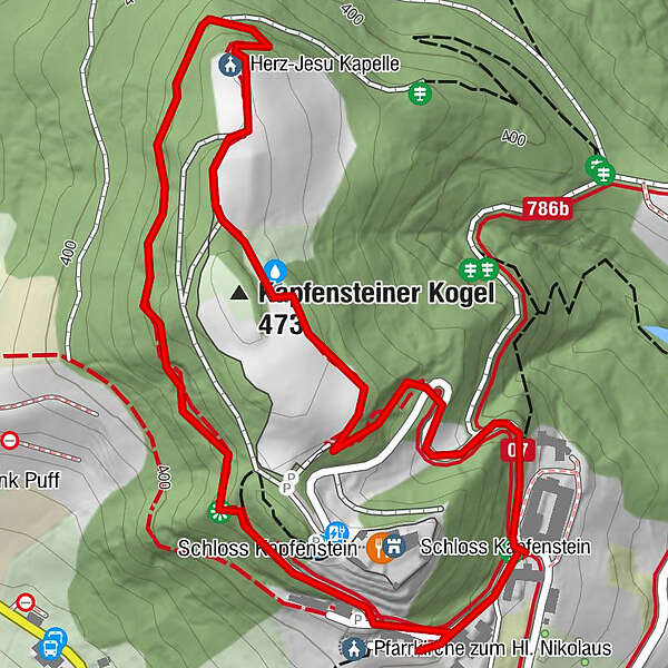
Kapfensteinerhof0,0 kmPfarrkirche zum Hl. Nikolaus0,2 kmHerz-Jesu Kapelle1,1 kmKapfensteiner Kogel (473 m)1,3 km
- Meilleure saison
-
janv.févr.marsavrilmaijuinjuil.aoûtsept.oct.nov.déc.
- Hauteur maximale
- 464 m
- Point de mire
-
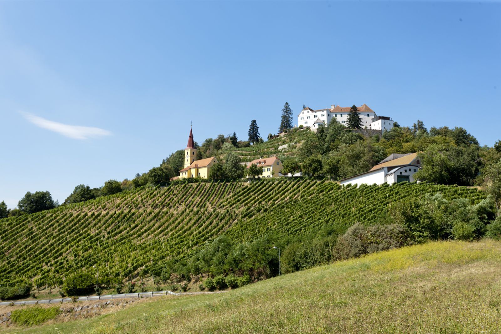
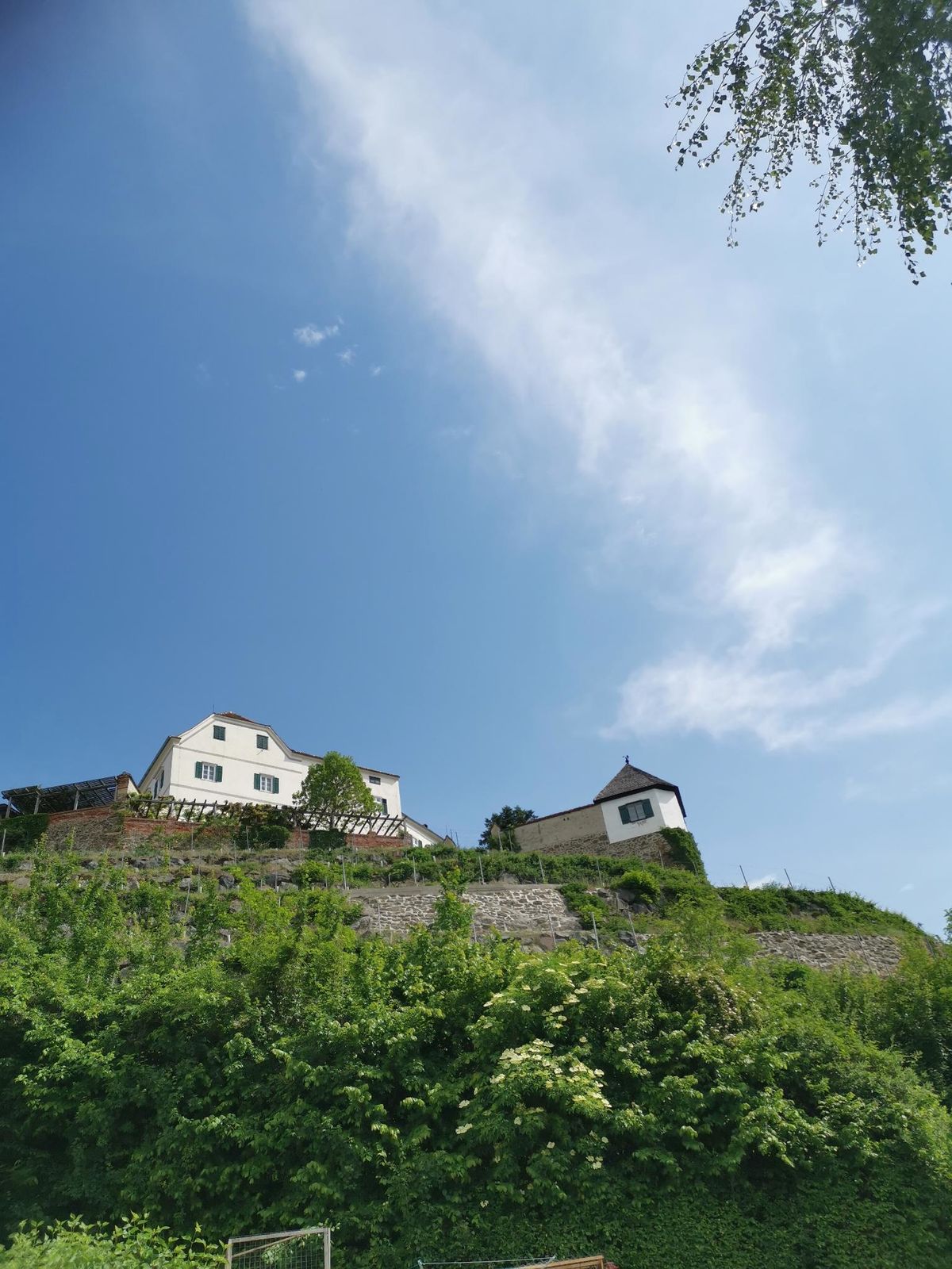
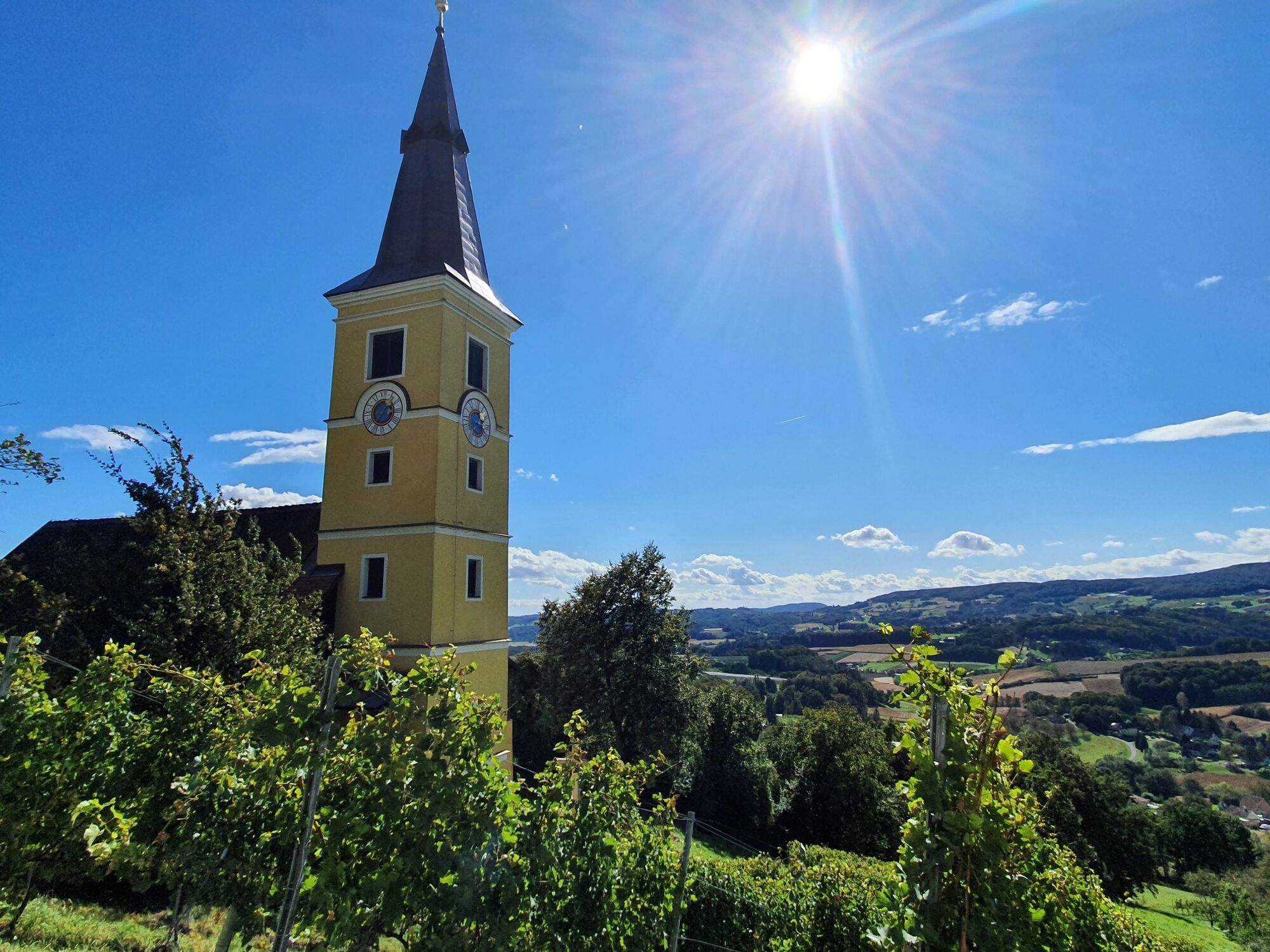
Kapfenstein Castle
- Profil en hauteur
-


- Auteur
-
La randonnée Geo-Trail Kapfenstein est utilisé par outdooractive.com fourni par.
GPS Downloads


Informations générales
Point de rassemblement
Secret
Prometteur
Autres parcours dans les régions
-
Thermen- & Vulkanland
1324
-
Bad Gleichenberg
372
-
Kapfenstein
170