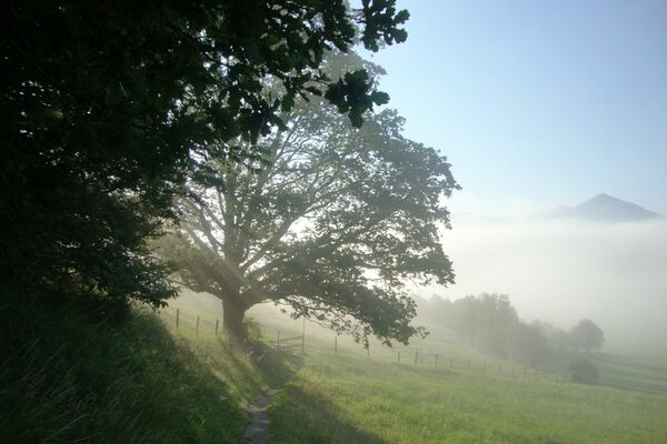
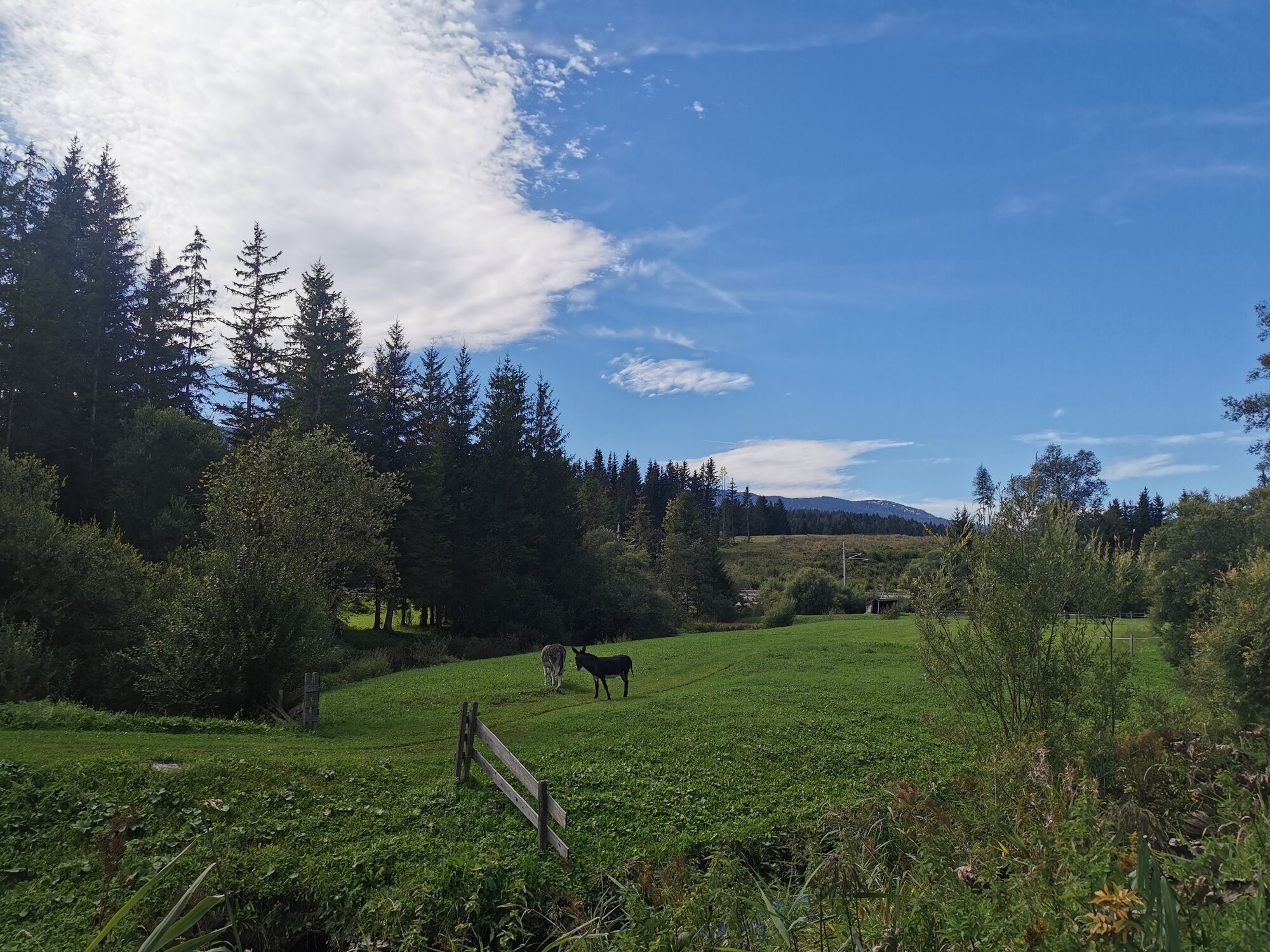
© Ausseerland - Theresa Schwaiger

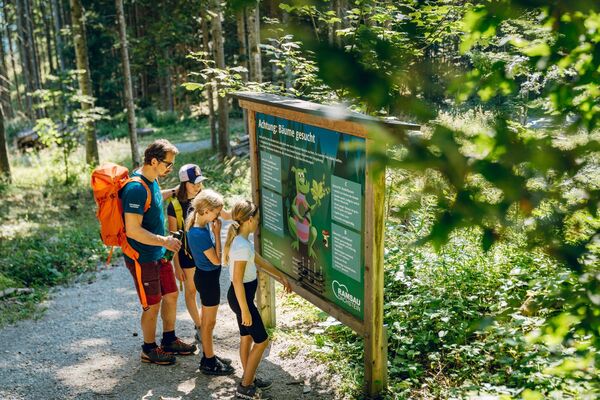
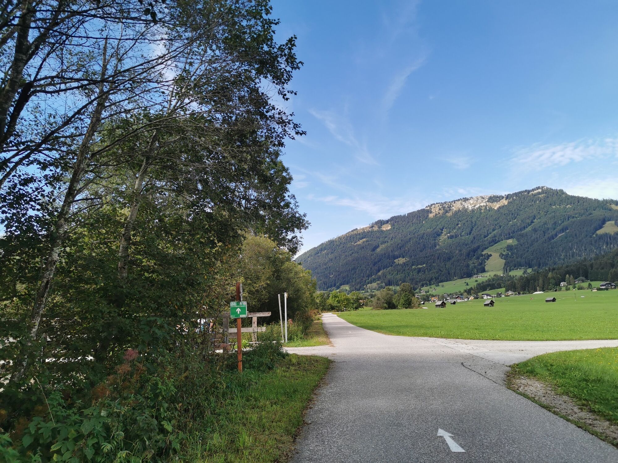
© Ausseerland - Theresa Schwaiger

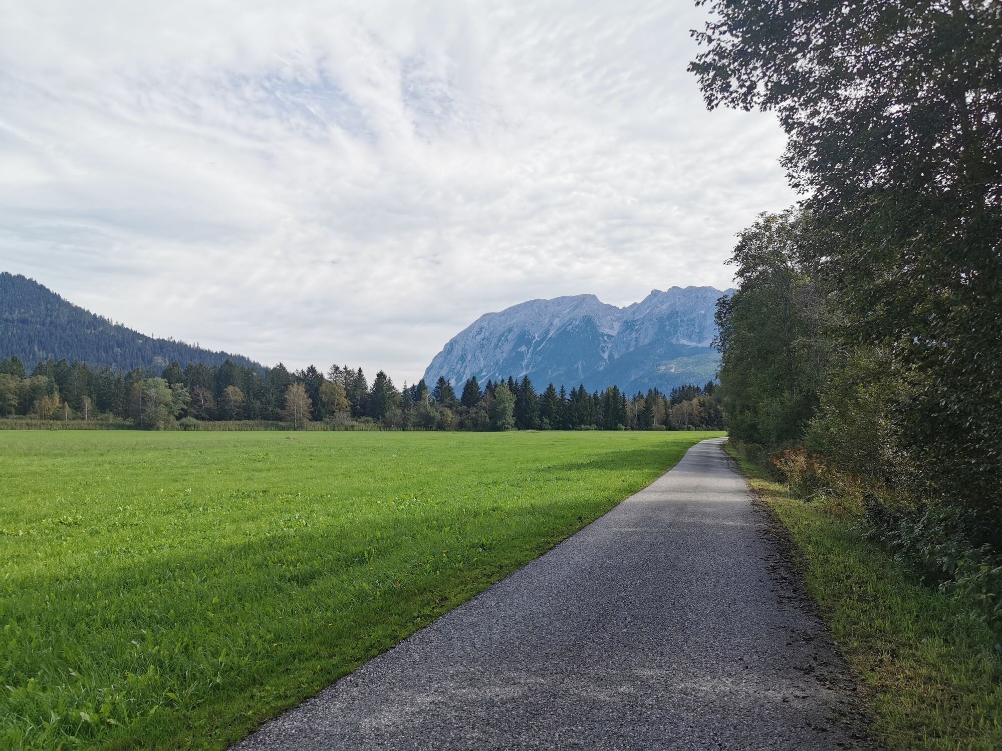
© Ausseerland - Theresa Schwaiger

© Ausseerland - Theresa Schwaiger

© Ausseerland - Theresa Schwaiger

© Ausseerland - Theresa Schwaiger

- Brève description
-
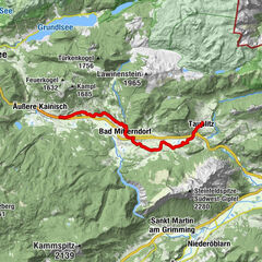
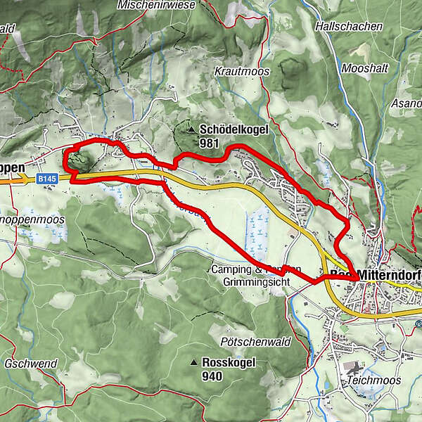
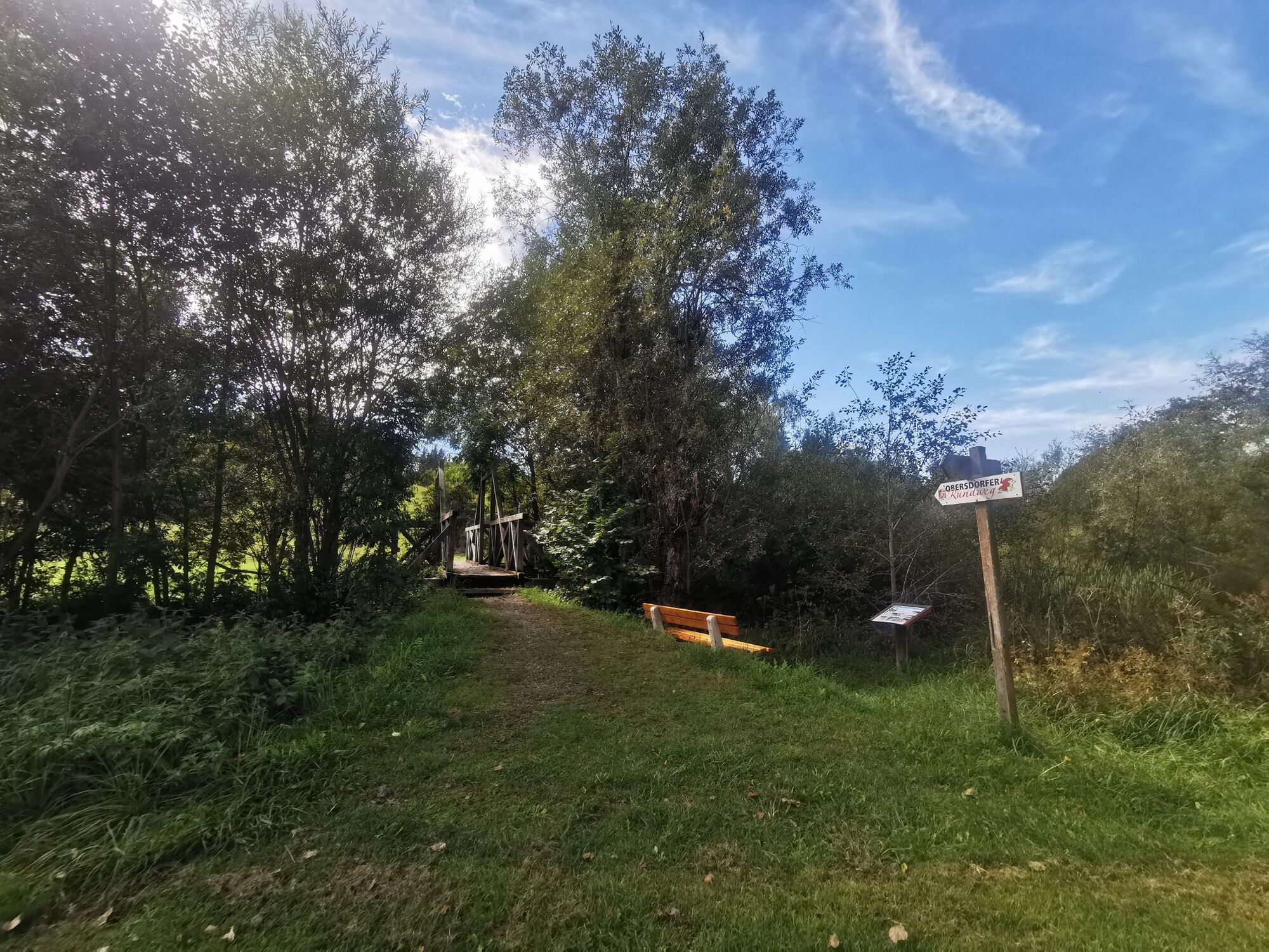
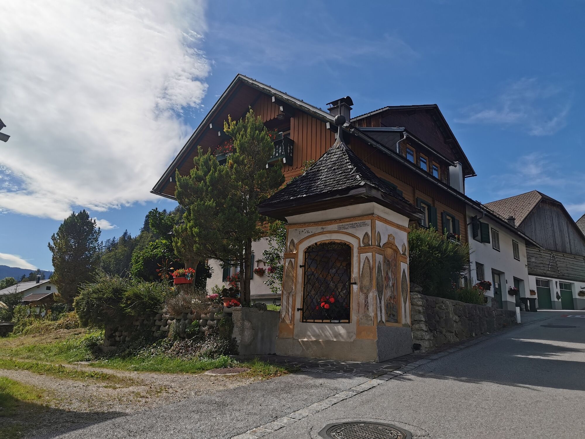
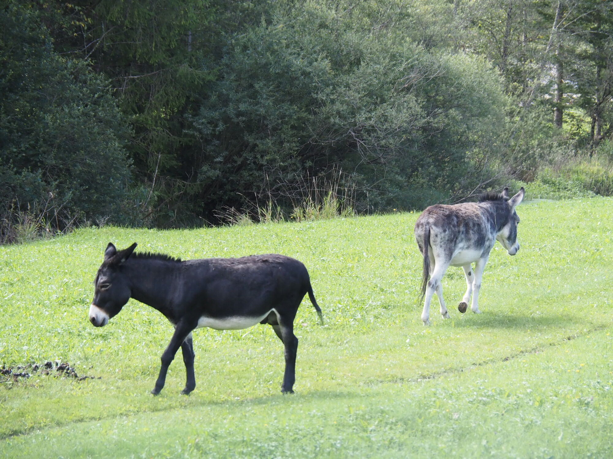
Geology, landscape forms and cultural history in the Bad Mitterndorf basin.The trail opens up the area between Bad Mitterndorf and Obersdorf.
- Difficulté
-
facile
- Évaluation
-
- Parcours
-
Bad MitterndorfSonnenalm2,1 kmGasthof zum Sandlweber4,0 kmObersdorf4,3 kmMelzen4,6 kmMaria Kumitz4,9 kmBad Mitterndorf9,4 km
- Meilleure saison
-
janv.févr.marsavrilmaijuinjuil.aoûtsept.oct.nov.déc.
- Hauteur maximale
- 878 m
- Point de mire
-
is the starting point
- Profil en hauteur
-

- Auteur
-
La randonnée Obersdorf circular route est utilisé par outdooractive.com fourni par.
GPS Downloads


Informations générales
Point de rassemblement
Culturel/Historiquement
Flore
Prometteur
Autres parcours dans les régions
-
Ausseerland - Salzkammergut
3382
-
Gröbminger Land
1190
-
Bad Mitterndorf
290