© Andrea Gruber - TV Joglland Waldheimat

© Andrea Gruber - TV Joglland Waldheimat

© Andrea Gruber - TV Joglland Waldheimat
- Brève description
-
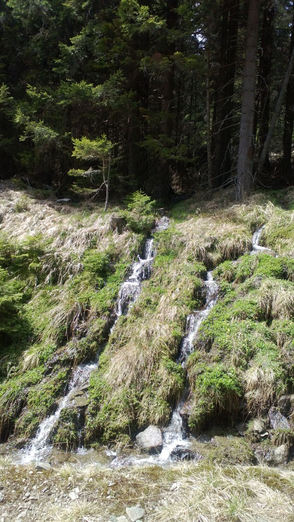
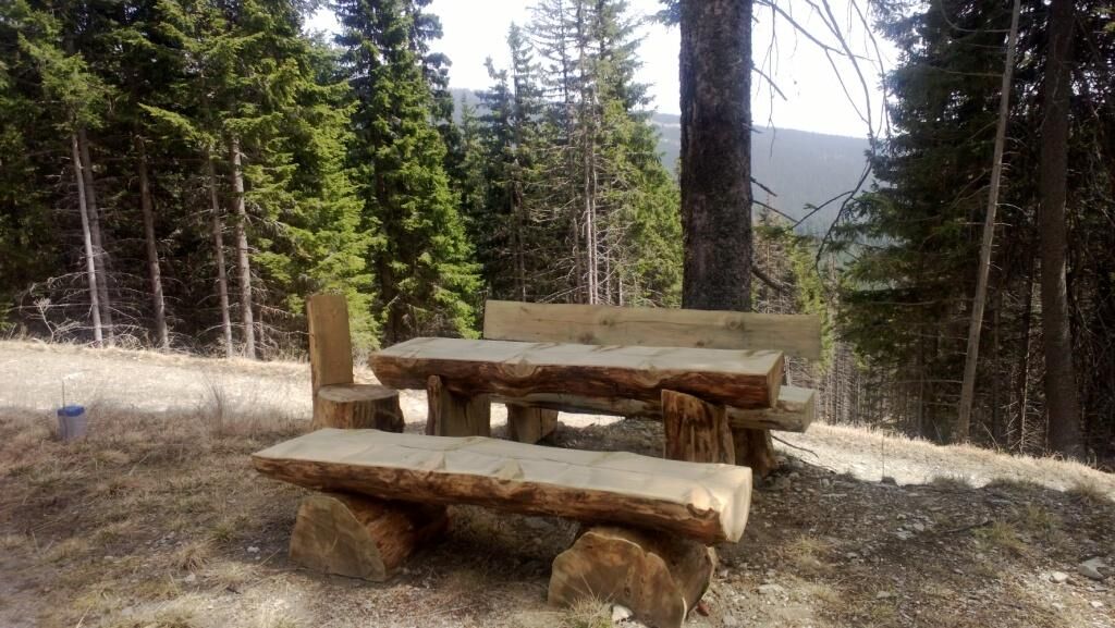
The Quellenweg leads you past small streams and springs around the Hochwechsel. Numerous rest areas invite you to linger and enjoy the idyllic landscape.
- Difficulté
-
moyen
- Évaluation
-
- Parcours
-
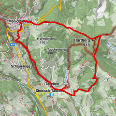
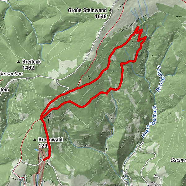
Gemeindkreuz1,2 kmKaltwiesen Hütte9,7 kmGemeindkreuz10,6 km
- Meilleure saison
-
janv.févr.marsavrilmaijuinjuil.aoûtsept.oct.nov.déc.
- Hauteur maximale
- 1.420 m
- Point de mire
-
Mönichwalder Schwaig
- Profil en hauteur
-


- Auteur
-
La randonnée Hochwechsel - spring trail est utilisé par outdooractive.com fourni par.
GPS Downloads


Informations générales
Point de rassemblement
Flore
Prometteur
Autres parcours dans les régions
-
Wiener Alpen
3036
-
Joglland - Waldheimat
1506
-
Waldbach-Mönichwald
302