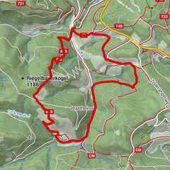
In the footsteps of Peter Rosegger - On the Planet Trail

Chemin thématique

Dates des itinéraires
15,98km
856
- 1.769m
896hm
872hm
05:30h

- Brève description
-
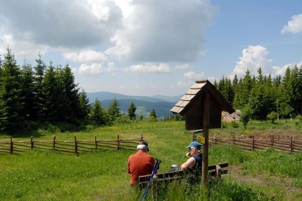
An extended, but through the numerous stations comfortable hike to the highest peak on the eastern edge of the Alps, the Stuhleck. The panoramic view extends from the summit as well as on parts of the ascent from Hochschwab over the Gesäuse, the Rax massif to the Pannonian lowlands with the offshore eastern Styria.
- Difficulté
-
difficile
- Évaluation
-
- Parcours
-
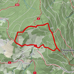
RetteneggSticklberg0,6 kmStuhleck (1.782 m)6,8 kmRennbauerhöhe (1.369 m)10,7 kmForellengasthof Joglland15,1 kmRettenegg15,9 km
- Meilleure saison
-
janv.févr.marsavrilmaijuinjuil.aoûtsept.oct.nov.déc.
- Hauteur maximale
- 1.769 m
- Point de mire
-
Stuhleck / Alois Günther House
- Profil en hauteur
-
-

-
AuteurLa randonnée In the footsteps of Peter Rosegger - On the Planet Trail est utilisé par outdooractive.com fourni par.
GPS Downloads
Informations générales
Point de rassemblement
Culturel/Historiquement
Flore
Faune
Prometteur
Autres parcours dans les régions
-
Hochsteiermark
4066
-
Waldheimat
2182
-
Rettenegg
452

