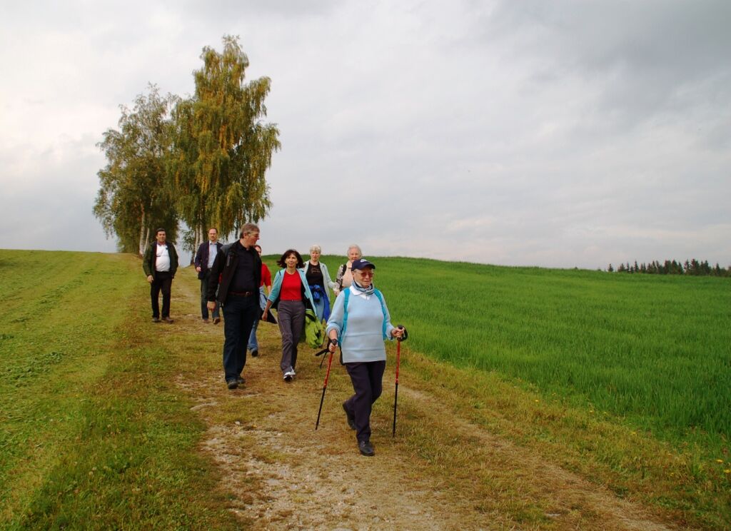
© Oststeiermark Tourismus - TV Joglland-Waldheimat

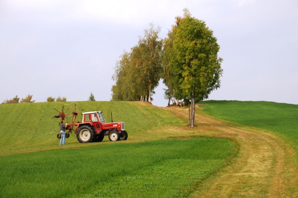
© Oststeiermark Tourismus - TV Joglland-Waldheimat

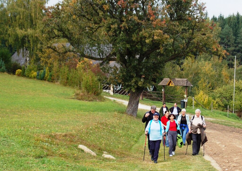
© Oststeiermark Tourismus - TV Joglland-Waldheimat

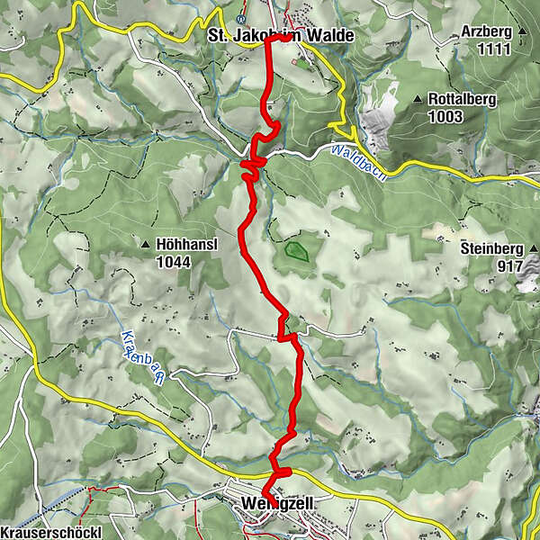
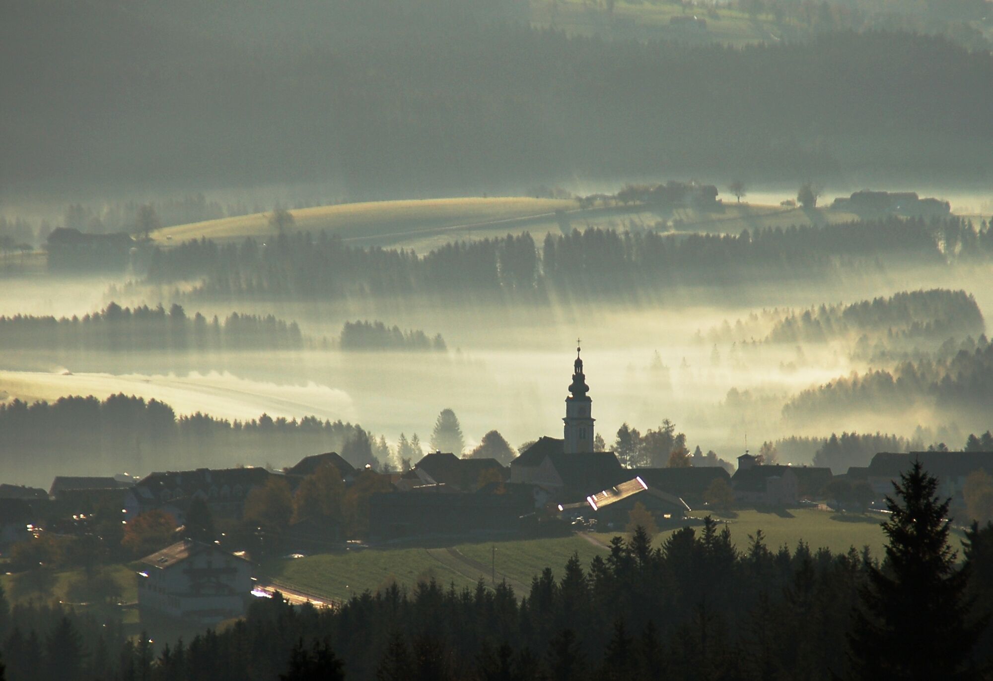
© Oststeiermark Tourismus - Birgit Kandlbauer
- Brève description
-
The tour starts in the center of the Joglland-Waldheimat region, in the flower road village of Wenigzell with its barefoot park, Nordic walking center and Joglland Oasis. Through the Joglland you walk to St. Jakob im Walde with the blooming Europapark and the new exhibition center "Kräftereich".
- Difficulté
-
facile
- Évaluation
-
- Parcours
-
WenigzellGasthaus Kristoferitsch0,0 kmGH Lueger6,0 kmSt. Jakob im Walde6,2 kmPfarrkirche Hl. Jakobus der Ältere6,3 km
- Meilleure saison
-
janv.févr.marsavrilmaijuinjuil.aoûtsept.oct.nov.déc.
- Hauteur maximale
- 925 m
- Point de mire
-
St. Jakob im Walde - Lueger Inn
- Profil en hauteur
-

- Auteur
-
La randonnée Power path, Wenigzell est utilisé par outdooractive.com fourni par.
GPS Downloads


Autres parcours dans les régions
-
Hochsteiermark
4082
-
Joglland - Waldheimat
1513
-
Wenigzell
291