Right head track (Rechte Kopfspur) - In the footsteps of the vulcanoes

Chemin thématique

© Bernhard Bergmann - Tourismusverband Feldbach

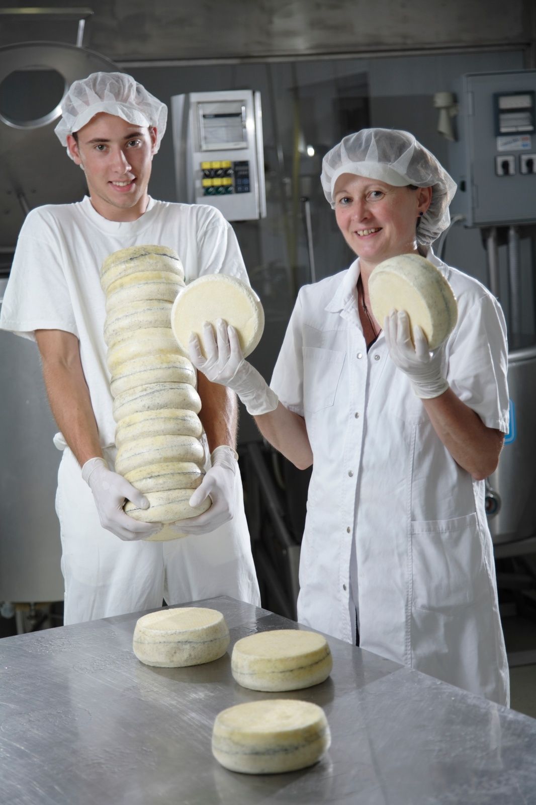
© Milchhof Krenn - Christian Contola

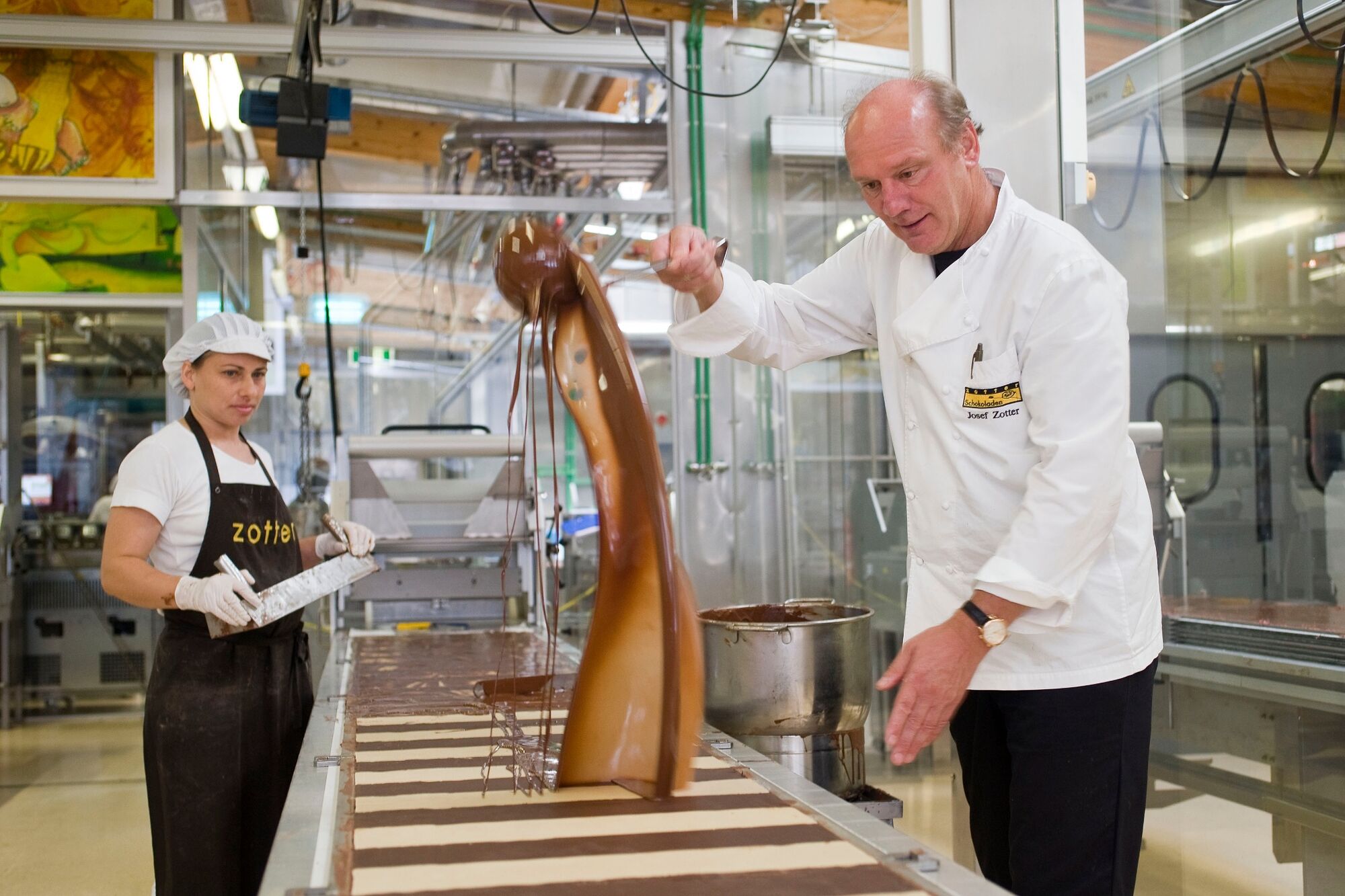
© TV Thermen- & Vulkanland - Zotter Schokoladen

© Zotter Schokoladen

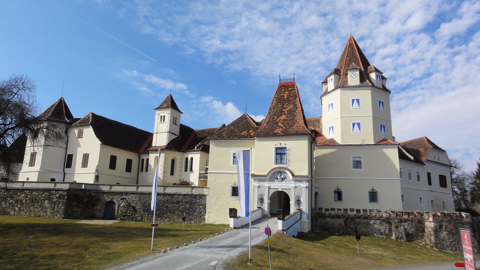
© TV Thermen- & Vulkanland - Konsul Mag. Andreas Bardeau

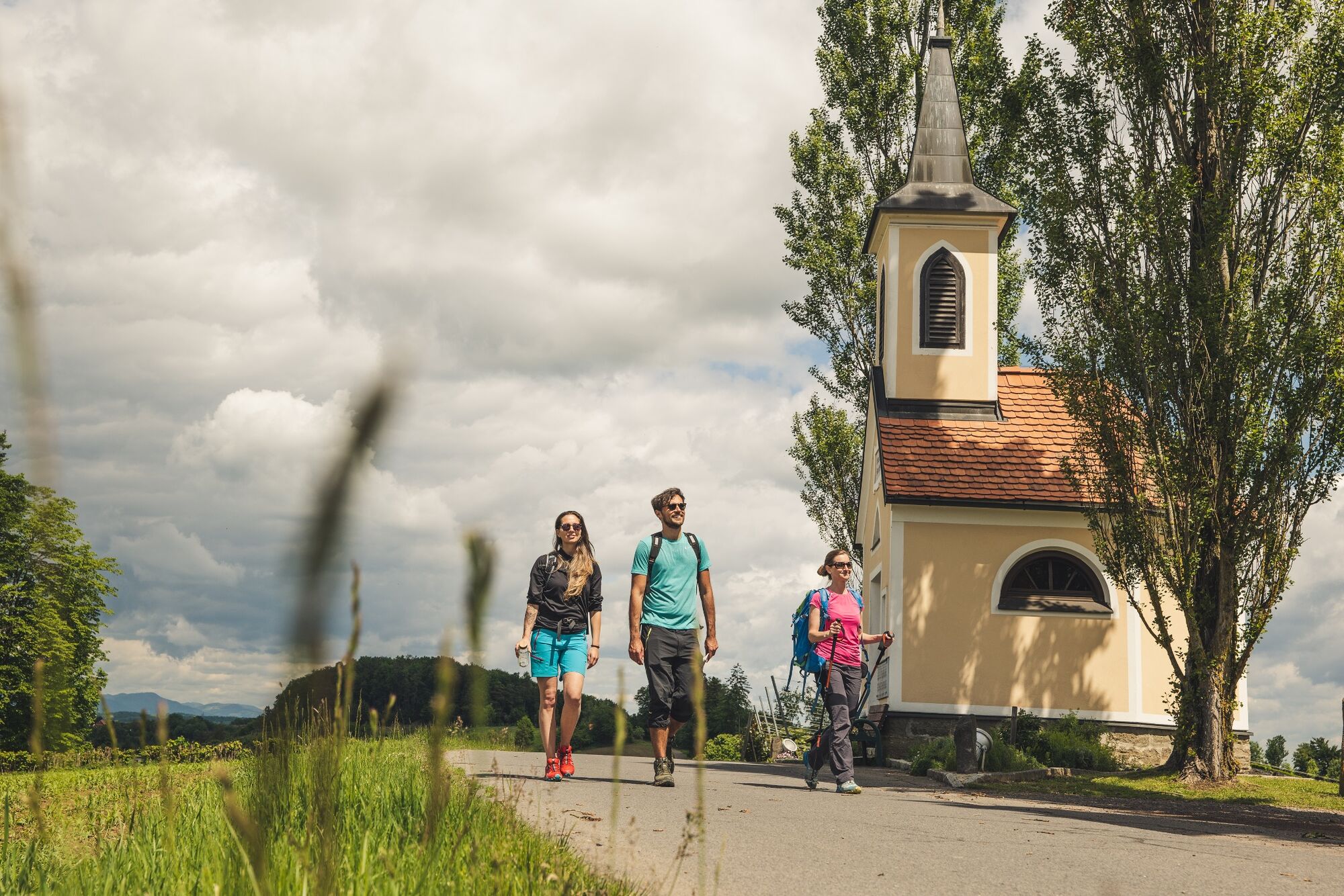
© Erlebnisregion Thermen- & Vulkanland - Bernhard Bergmann

© Erlebnisregion Thermen- & Vulkanland - Lo Scoglio

© TV Thermen- & Vulkanland - Bernhard Bergmann

© Erlebnisregion Thermen- & Vulkanland - Bernhard Bergmann

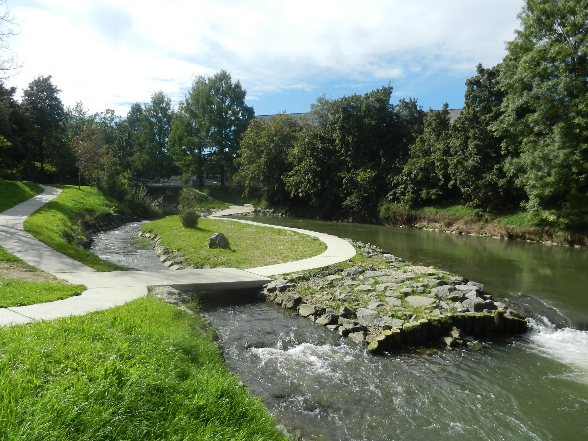
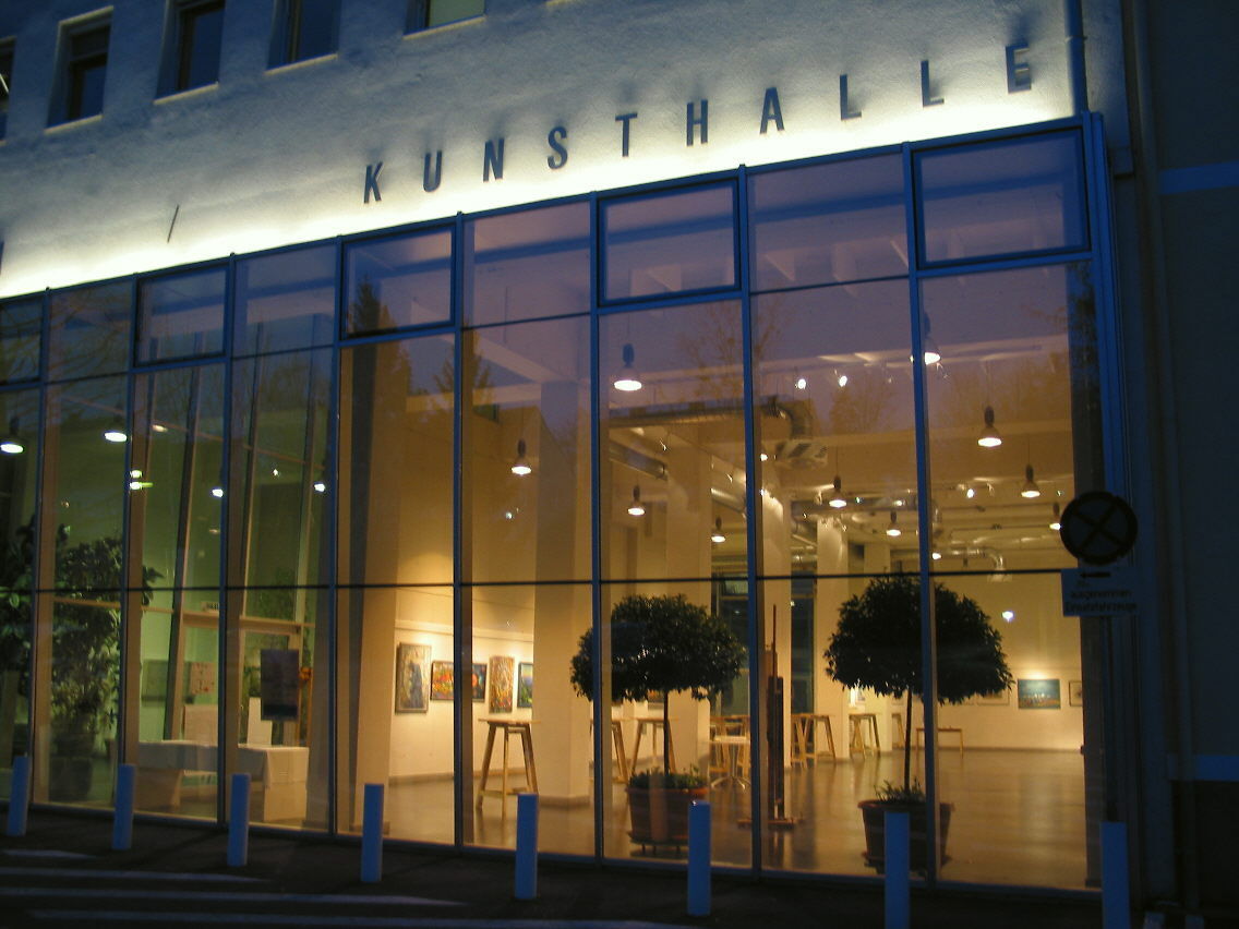
© TV Thermen- & Vulkanland - Stadtgemeinde Feldbach
- Brève description
-
The network of hiking trails on the "traces of the volcanoes" in Thermen- & Vulkanland Steiermark shows the image of a man. A buffet of pictures opens up between extinct volcanoes.
- Difficulté
-
difficile
- Évaluation
-
- Parcours
-
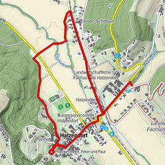
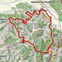
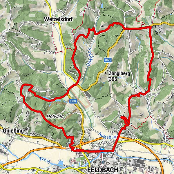
Feldbach0,0 kmKonixberg2,0 kmSchützing3,3 kmFröhlichberg5,7 kmKarnerberg6,4 kmKurvenwirt Krisper&Zieger6,4 kmKogelberg8,3 kmSchloßwirt9,5 kmAuersberg14,9 kmFeldbach16,4 kmFeldbach16,7 km
- Meilleure saison
-
janv.févr.marsavrilmaijuinjuil.aoûtsept.oct.nov.déc.
- Hauteur maximale
- 402 m
- Point de mire
-
Train station Feldbach
- Profil en hauteur
-


- Auteur
-
La randonnée Right head track (Rechte Kopfspur) - In the footsteps of the vulcanoes est utilisé par outdooractive.com fourni par.
GPS Downloads


Informations générales
Point de rassemblement
Culturel/Historiquement
Flore
Faune
Prometteur
Autres parcours dans les régions
-
Oststeiermark
2126
-
Feldbach
408
-
Feldbach
145