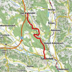
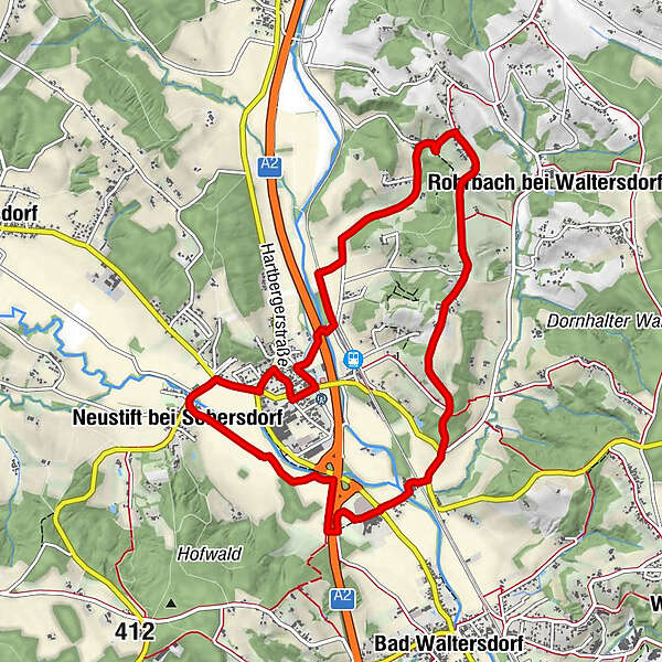
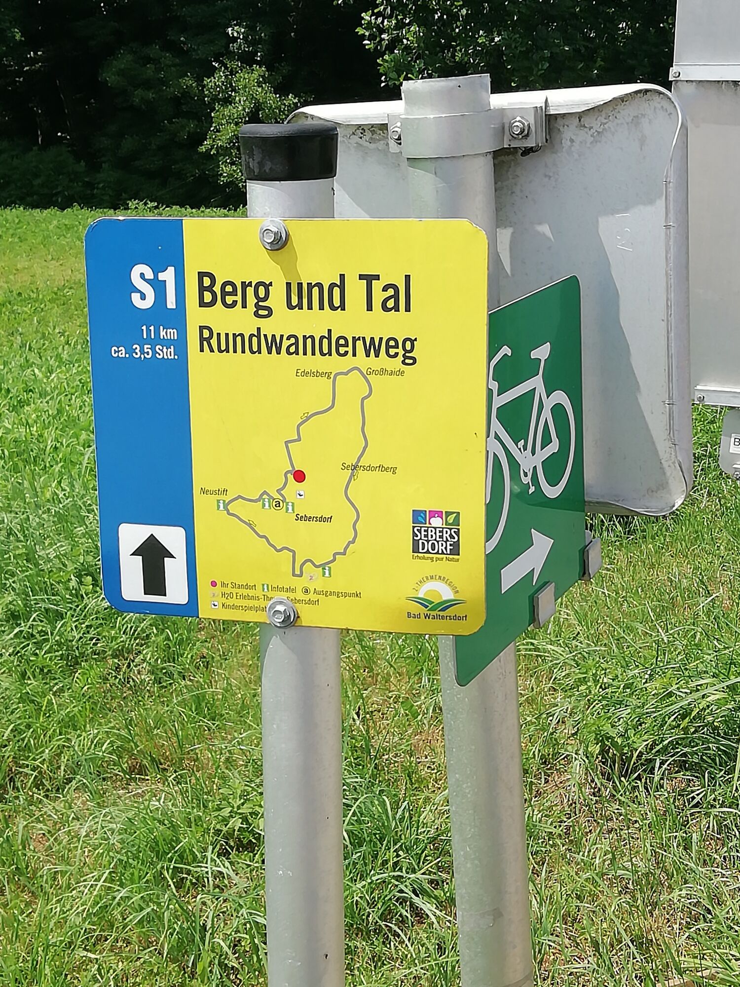
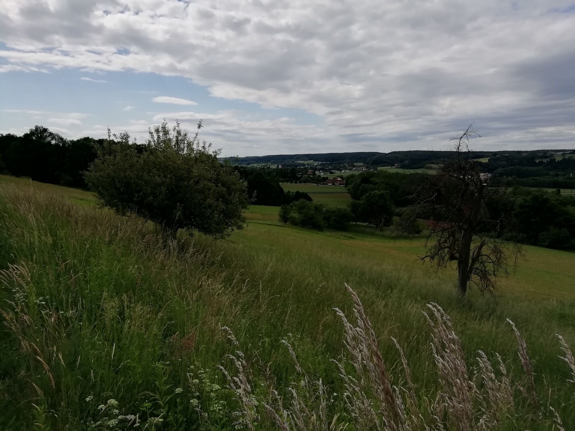
Mountain and valley hiking trail (Berg- & Tal Rundwanderweg)

Randonnée

© Erlebnisregion Thermen- & Vulkanland - Infobüro Bad Waltersdorf

© Erlebnisregion Thermen- & Vulkanland - Infobüro Bad Waltersdorf

© Erlebnisregion Thermen- & Vulkanland - Infobüro Bad Waltersdorf

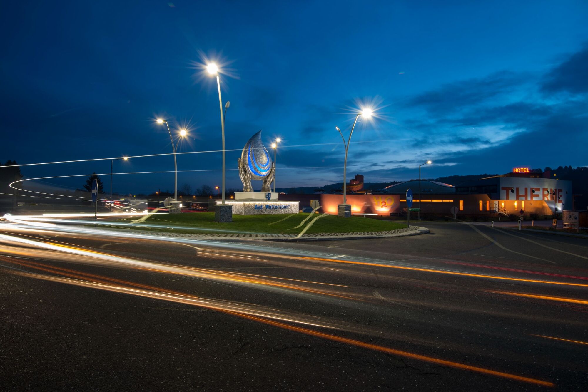
© Bad Waltersdorf - Bernhard Bergmann
© Bad Waltersdorf - Thermenland Süd- & Oststeiermark Marketing GmbH
- Brève description
-
Experience the hilly landscape of the Thermen- & Vulkanland with all its heights and valleys.
- Difficulté
-
moyen
- Évaluation
-
- Parcours
-
Sebersdorf0,9 kmEdelsberg3,3 kmDorfkapelle Sebersdorfberg5,2 kmSebersdorfberg5,3 kmNeustift bei Sebersdorf9,8 kmSebersdorf10,5 km
- Meilleure saison
-
janv.févr.marsavrilmaijuinjuil.aoûtsept.oct.nov.déc.
- Hauteur maximale
- 388 m
- Point de mire
-
Local supply center Sebersdorf
- Profil en hauteur
-


-

-
AuteurLa randonnée Mountain and valley hiking trail (Berg- & Tal Rundwanderweg) est utilisé par outdooractive.com fourni par.
GPS Downloads


Informations générales
Point de rassemblement
Prometteur
Autres parcours dans les régions
-
Thermen- & Vulkanland
1324
-
Bad Waltersdorf
624
-
Bad Waltersdorf
94