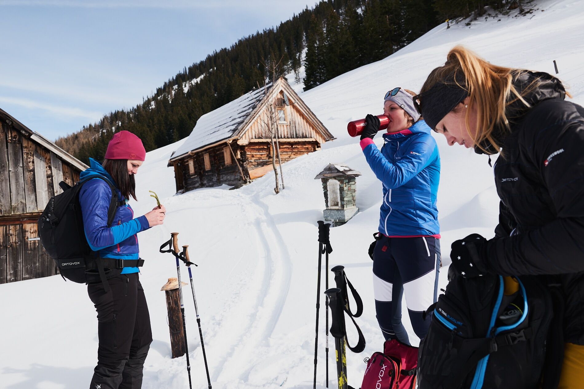
© Erlebnisregion Schladming-Dachstein - Armin Walcher

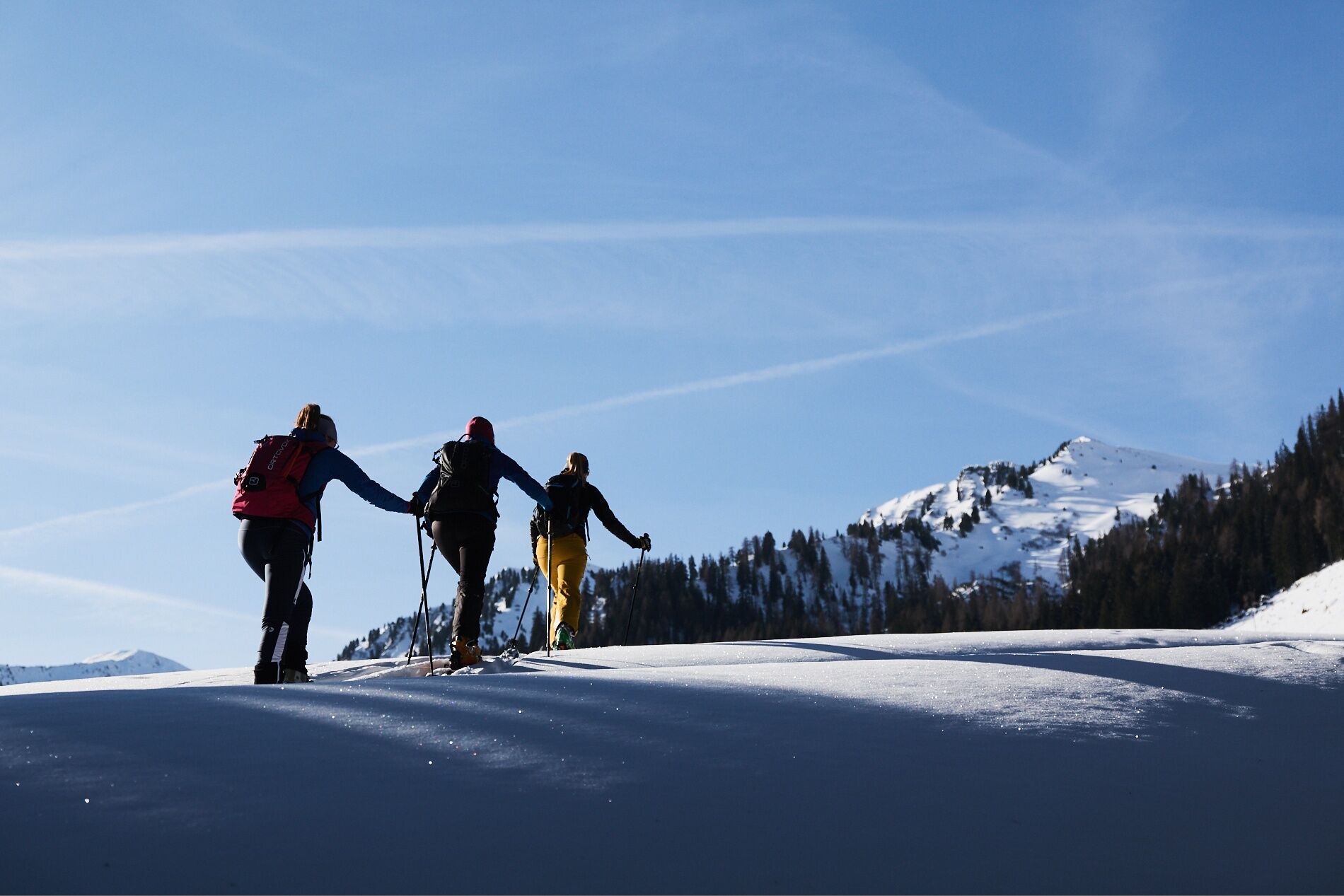
© Erlebnisregion Schladming-Dachstein - Armin Walcher

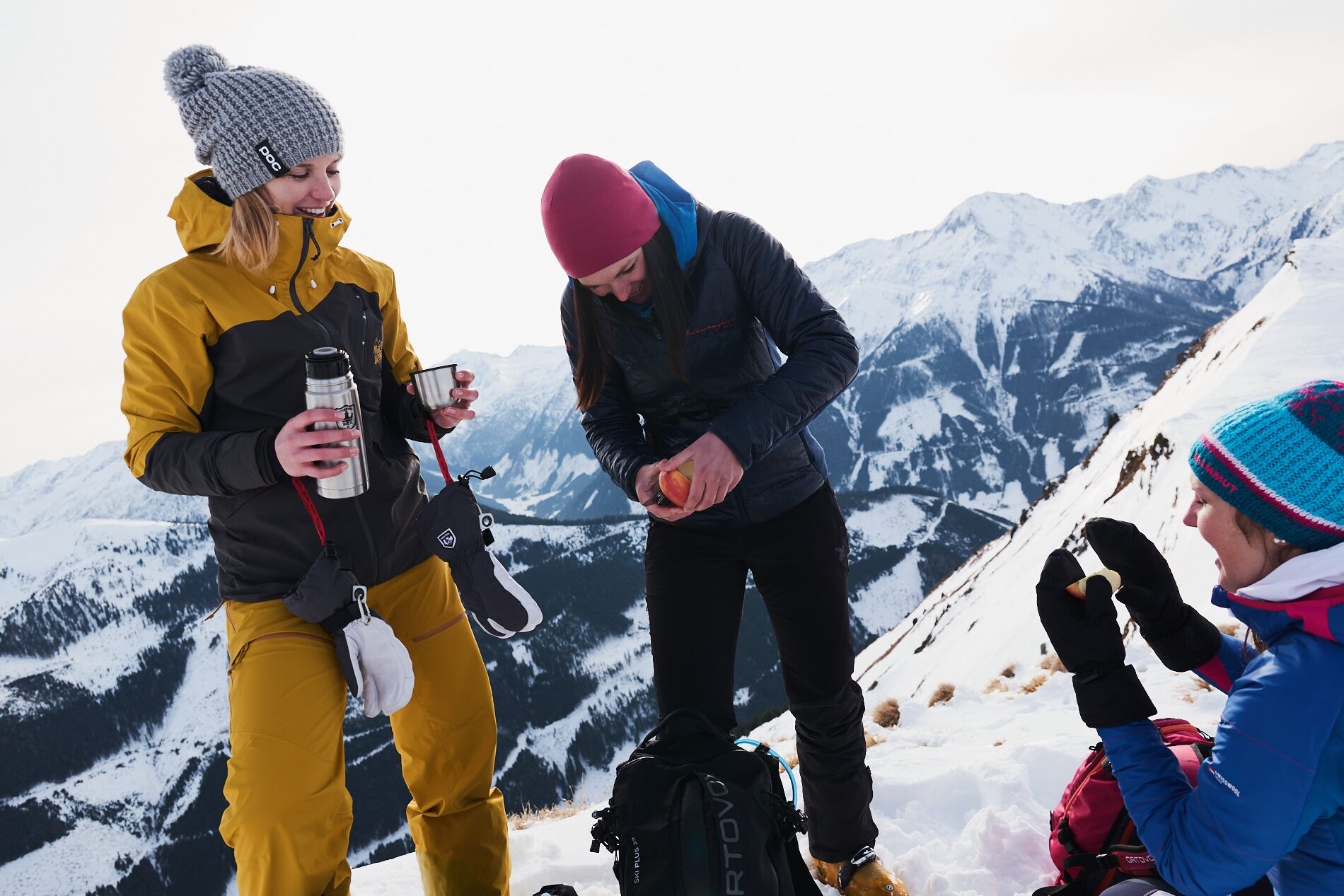
© Erlebnisregion Schladming-Dachstein - Armin Walcher

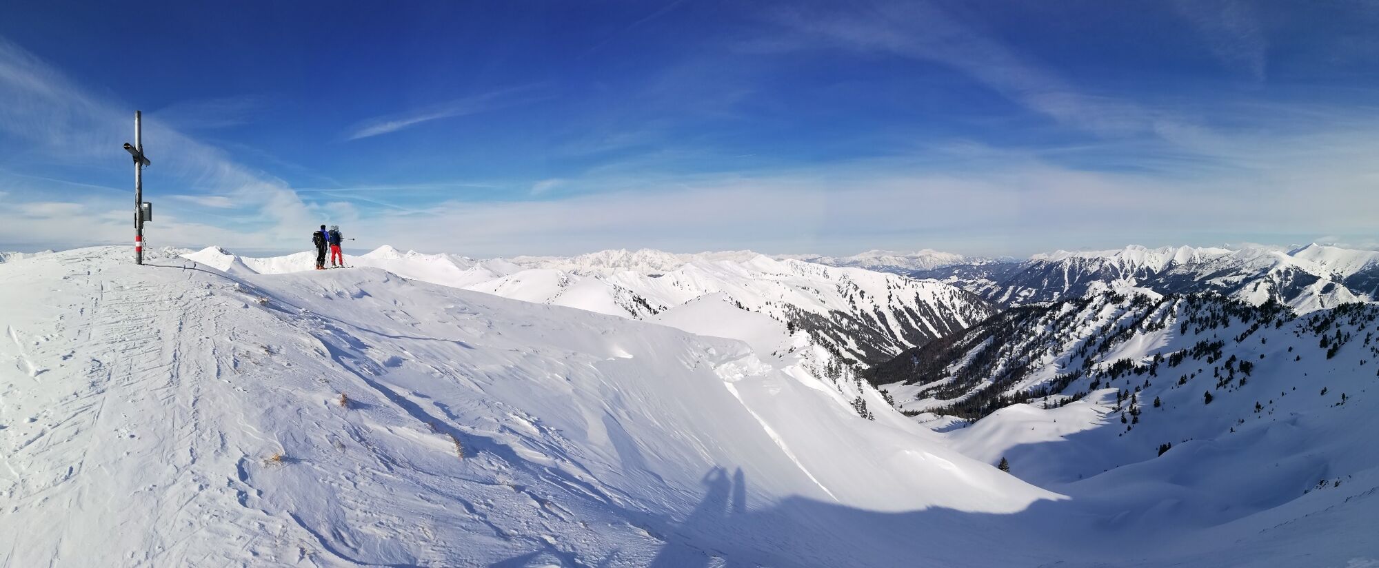
© Erlebnisregion Schladming-Dachstein - Armin Walcher

© Erlebnisregion Schladming-Dachstein - Armin Walcher

© Tourismusverband Grimming-Donnersbachtal - Armin Walcher

© Erlebnisregion Schladming-Dachstein - Armin Walcher

© Erlebnisregion Schladming-Dachstein - Roland Gutwenger

© Grimming Donnersbachtal
Dates des itinéraires
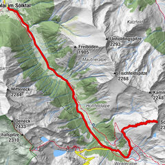
15,09km
961
- 2.054m
1.052hm
1.054hm
05:00h
- Brève description
-
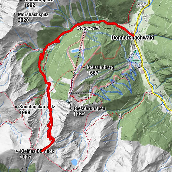
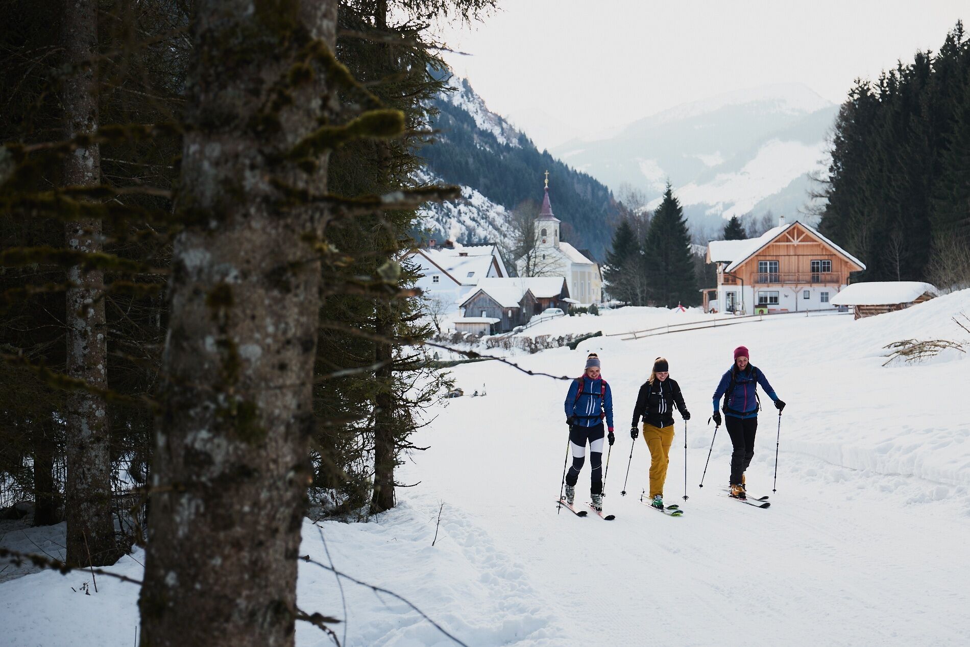
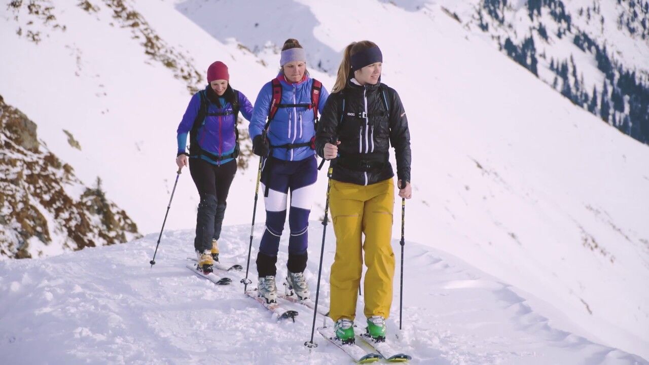
At the end of the Mörsbach valley it is waiting for you, the popular and well-known ski touring mountain in the Donnersbachwald. So then, nothing like up!
- Difficulté
-
moyen
- Évaluation
-
- Parcours
-
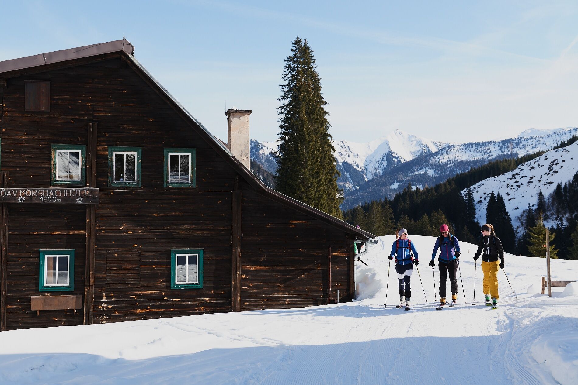
DonnersbachwaldMörsbachwirt2,8 kmMörsbachwirt - Theos Hütte2,9 kmMörsbachalm3,0 kmHintere Mörsbachalm (1.482 m)4,9 kmGroßes Bärneck (2.071 m)7,9 kmHintere Mörsbachalm (1.482 m)9,9 kmMörsbachalm11,8 kmMörsbachwirt - Theos Hütte12,0 kmMörsbachwirt12,0 kmDonnersbachwald15,0 km
- Meilleure saison
-
aoûtsept.oct.nov.déc.janv.févr.marsavrilmaijuinjuil.
- Hauteur maximale
- 2.054 m
- Point de mire
-
Center of the village
- Exposition
- Profil en hauteur
-


-

-
AuteurLa randonnée Ski tour to the Bärneck est utilisé par outdooractive.com fourni par.
GPS Downloads


Informations générales
Point de rassemblement
Prometteur
Autres parcours dans les régions