© Weges OG

© Weges OG

© WEGES OG

© Weges OG

© Weges OG

© Weges OG

© Weges OG

© Weges OG

© Weges OG

© Weges OG

- Brève description
- Difficulté
-
moyen
- Évaluation
-
- Meilleure saison
-
aoûtsept.oct.nov.déc.janv.févr.marsavrilmaijuinjuil.
- Hauteur maximale
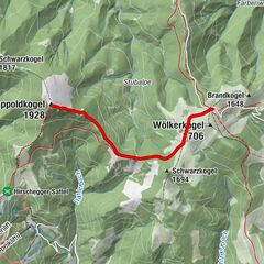
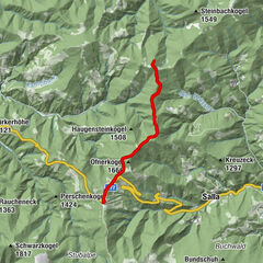
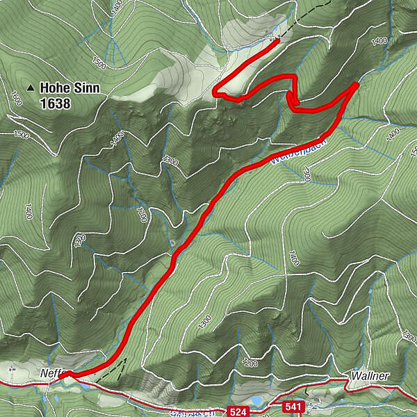
- 1.498 m
- Point de mire
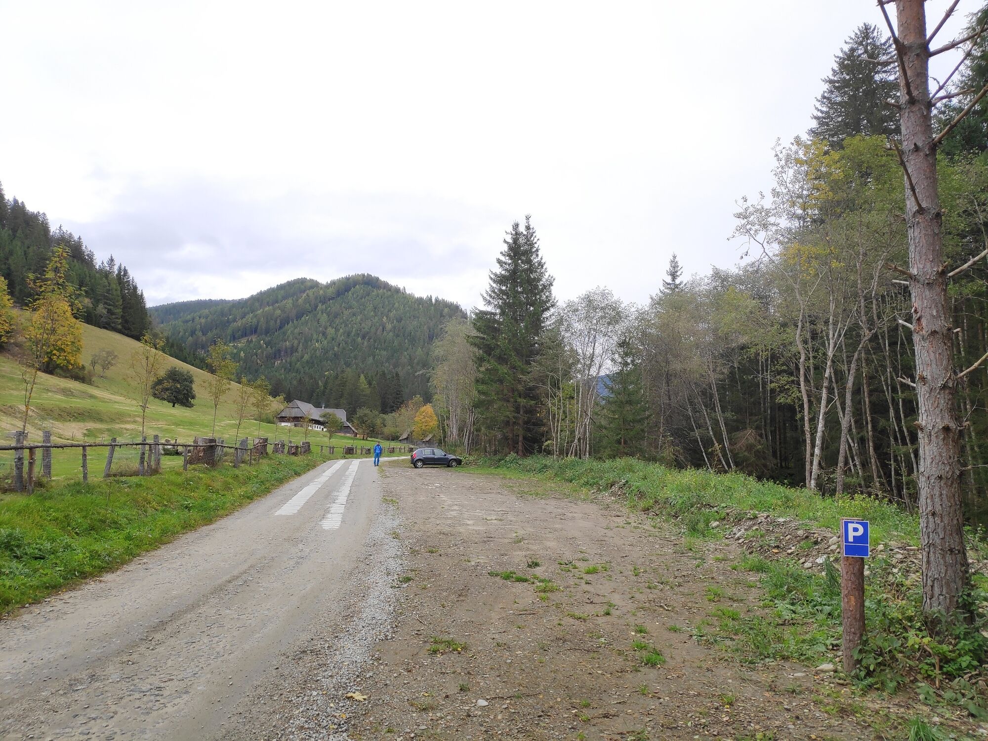
-
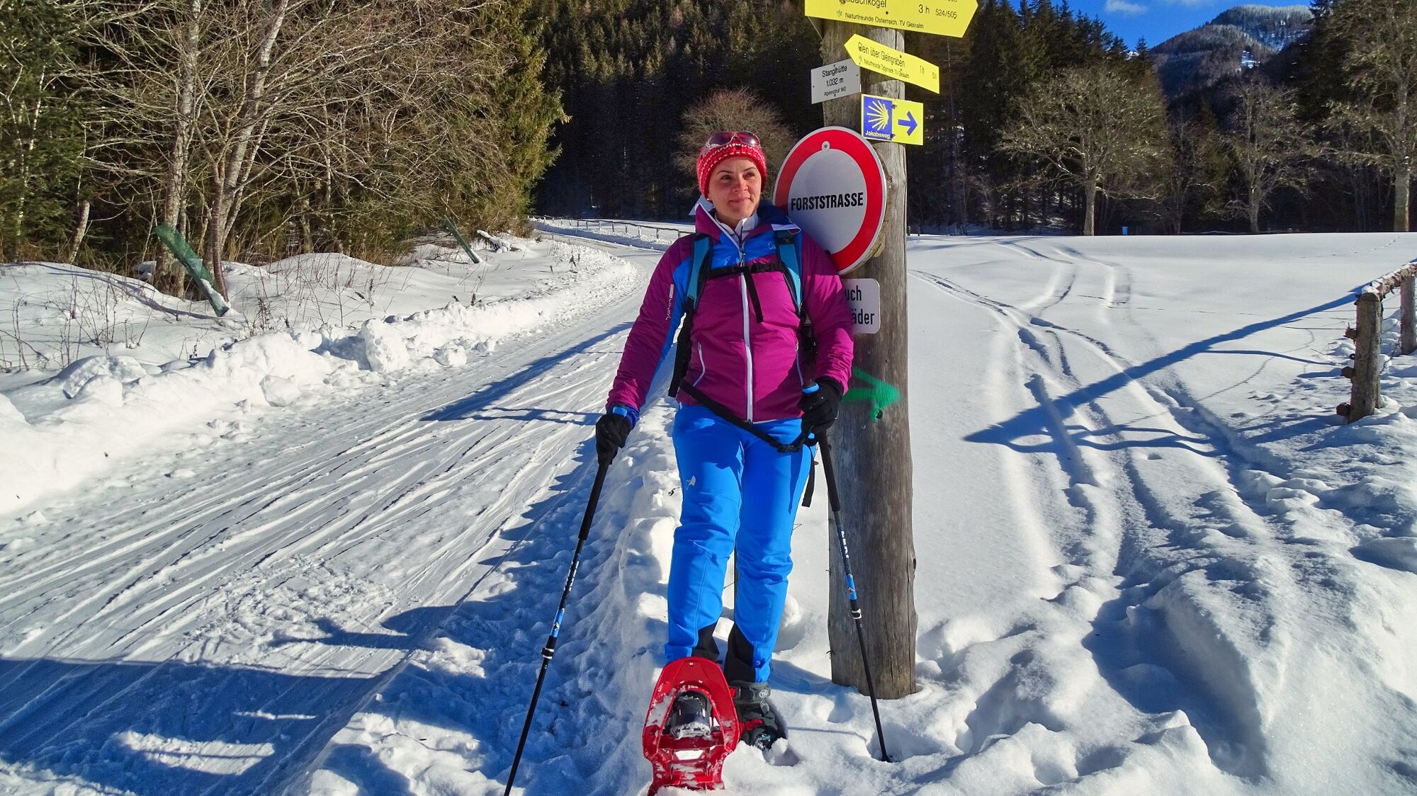
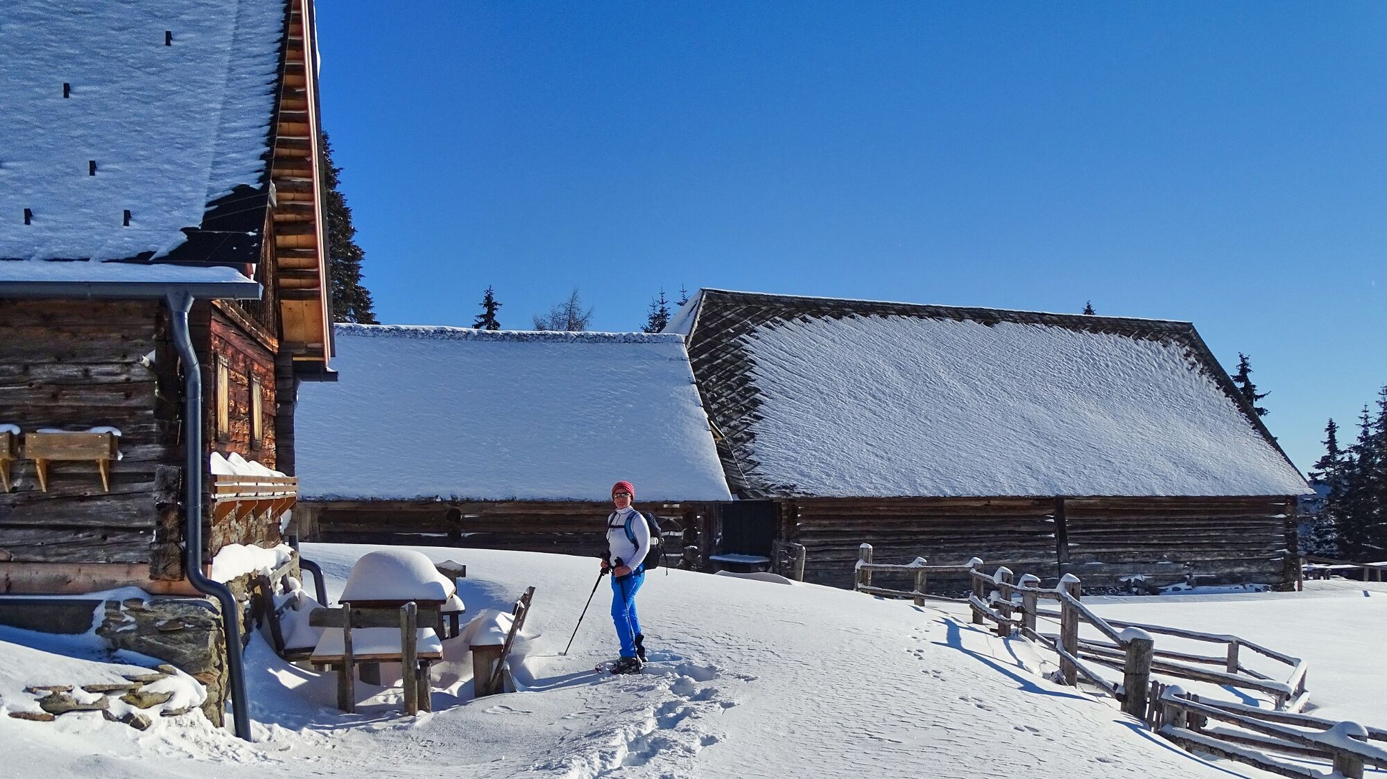
Stanglhütte (1026 m) in Gleingraben
- Profil en hauteur
-

- Auteur
-
La randonnée Moar-in-Pichl hut in the Gleinalpen area est utilisé par outdooractive.com fourni par.
GPS Downloads


Informations générales
Prometteur
Autres parcours dans les régions