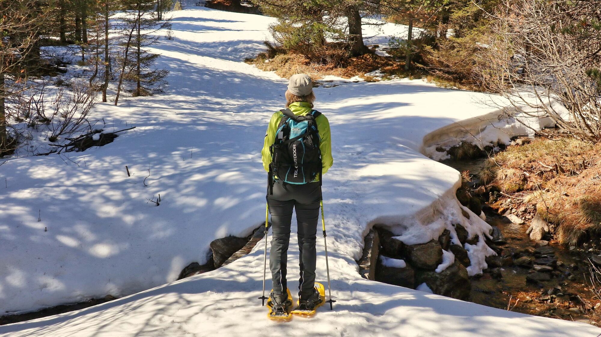
© Weges OG
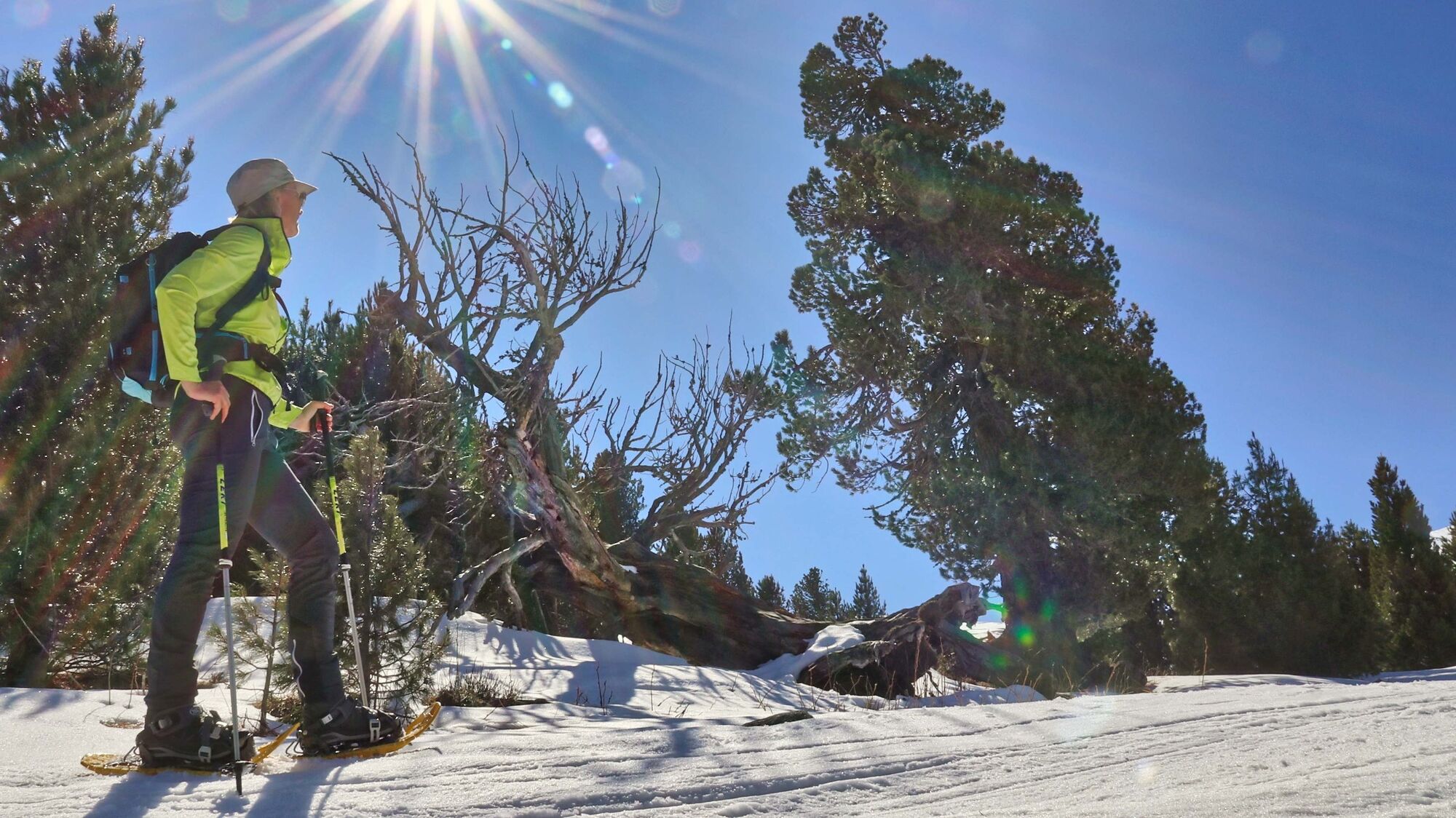
© Weges OG

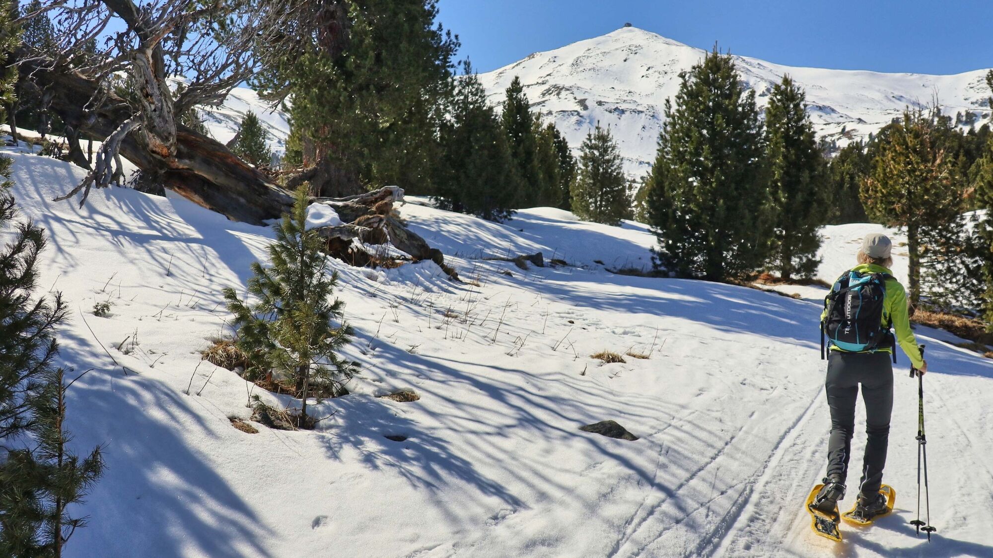
© Weges OG

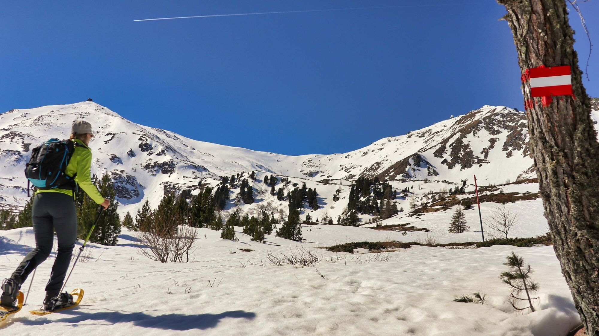
© Weges OG

© Weges OG

© Weges OG

© Erlebnisregion Murtal - Maria Leitner

© Weges OG

© Weges OG

© Weges OG

- Brève description
- Difficulté
-
moyen
- Évaluation
-
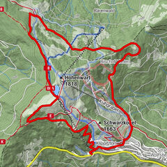
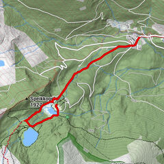
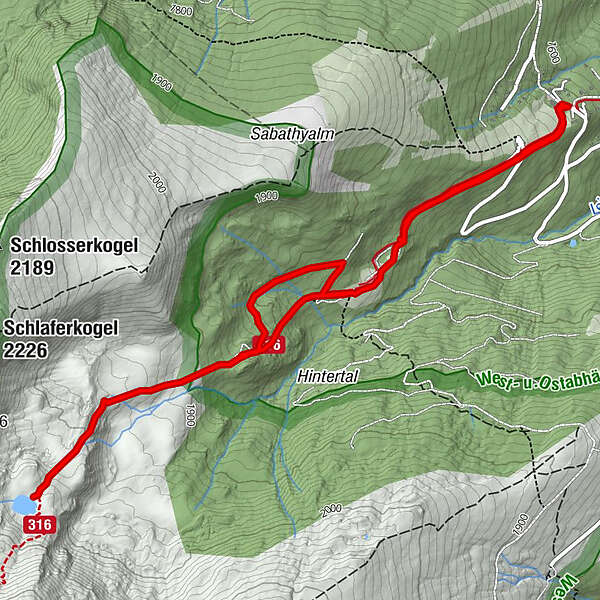
- Parcours
-
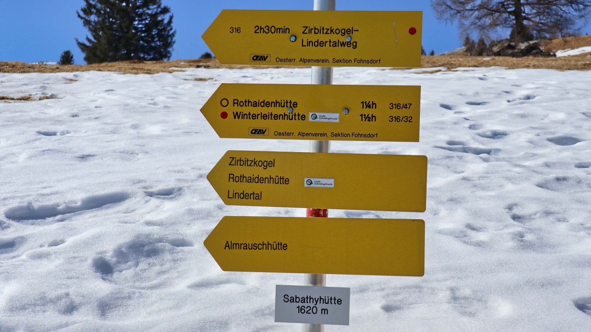
Alpengasthof Sabathy0,0 kmAlpengasthof Sabathy6,8 km
- Meilleure saison
-
aoûtsept.oct.nov.déc.janv.févr.marsavrilmaijuinjuil.
- Hauteur maximale
- 2.048 m
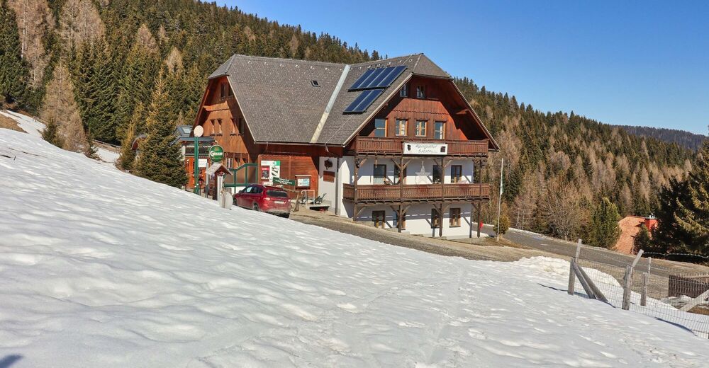
- Point de mire
-
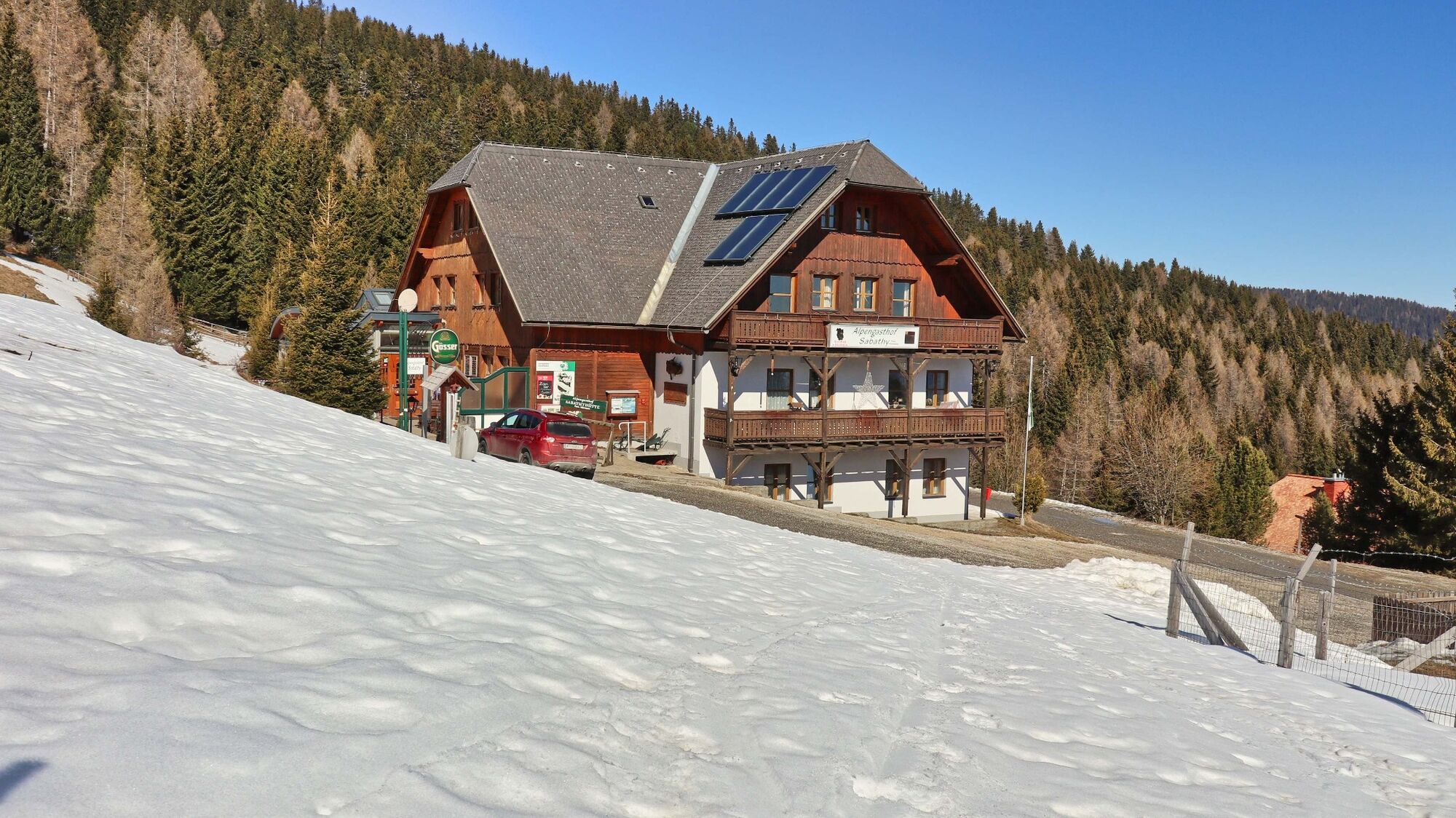
Alpengasthof Sabathy (1620 m)
- Profil en hauteur
-


- Auteur
-
La randonnée To the Lindersee in the Seetal Alps. est utilisé par outdooractive.com fourni par.
GPS Downloads


Informations générales
Prometteur
Autres parcours dans les régions