© Gerhard Pilz - www.gpic.at - Gerhard Pilz

© Tourismusverband Schladming - Herbert Raffalt - Herbert Raffalt

© Erlebnisregion Schladming-Dachstein - Gerhard Pilz

© Gerhard Pilz - www.gpic.at - Gerhard Pilz

© Gerhard Pilz - www.gpic.at - Gerhard Pilz

© Gerhard Pilz - www.gpic.at - Gerhard Pilz

© Gerhard Pilz - www.gpic.at - Gerhard Pilz

© Gerhard Pilz - www.gpic.at - Gerhard Pilz

© Gerhard Pilz - www.gpic.at - Gerhard Pilz

- Brève description
-
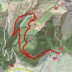
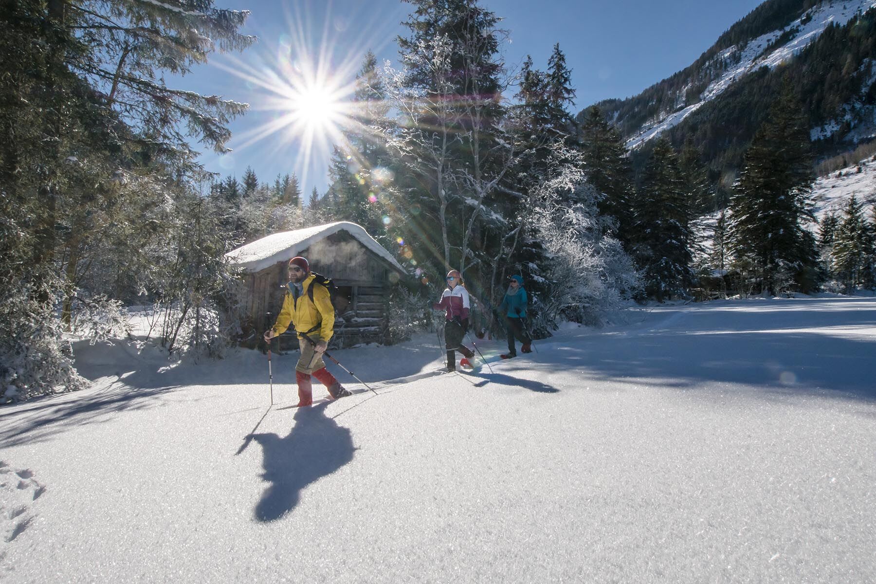
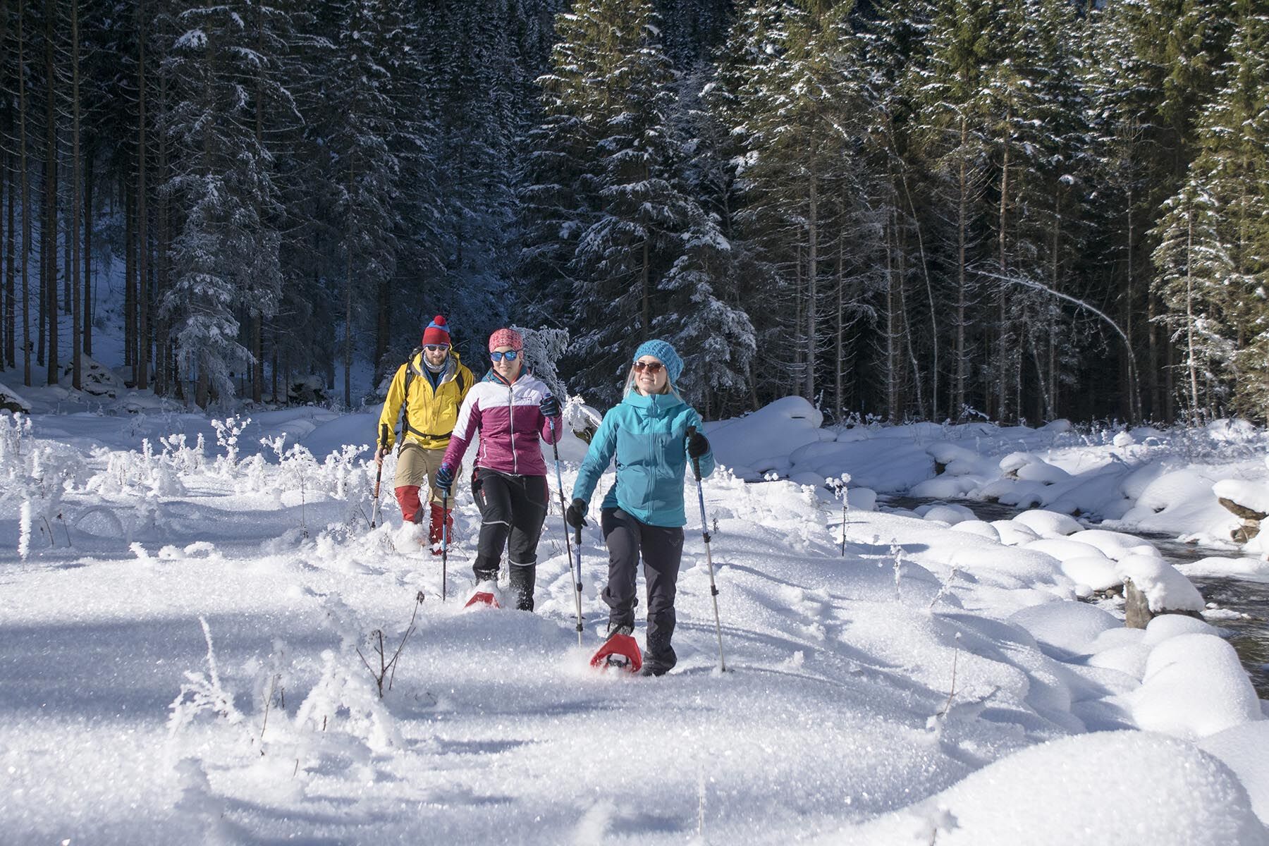
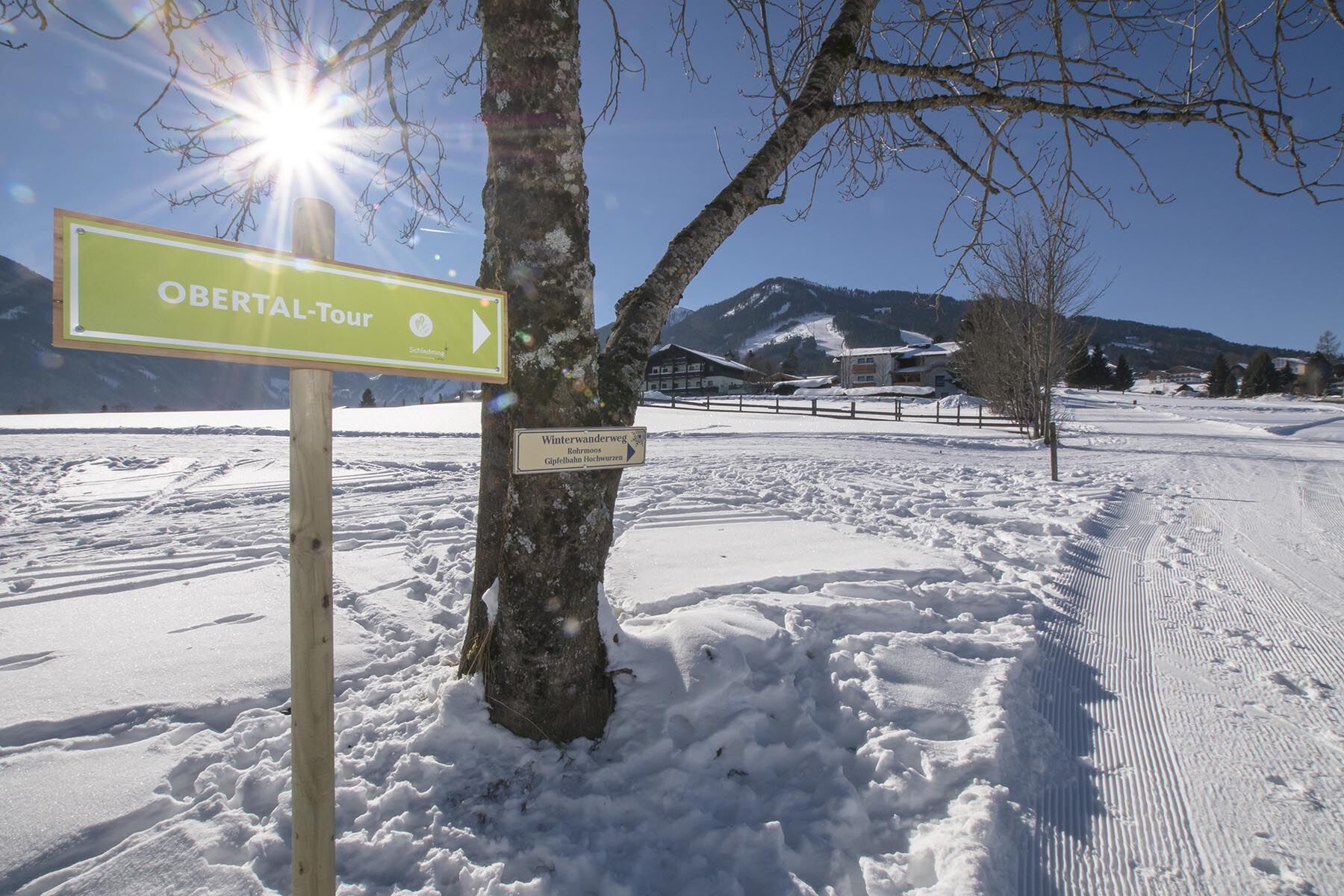
Snowshoeing tour on the signposted route into the peaceful Obertal valley in Rohrmoos.
- Difficulté
-
moyen
- Évaluation
-
- Parcours
-
Windbacherstubn3,3 kmWehrhofalm7,3 kmWindbacherstubn14,2 km
- Meilleure saison
-
aoûtsept.oct.nov.déc.janv.févr.marsavrilmaijuinjuil.
- Hauteur maximale
- 1.120 m
- Point de mire
-
Windbacherstube inn, Obertal
- Profil en hauteur
-


-

-
AuteurLa randonnée Snowshoeing in Obertal valley est utilisé par outdooractive.com fourni par.
GPS Downloads


Informations générales
Point de rassemblement
Secret
Autres parcours dans les régions