© Tourismusverband Region Murau - Anton Schwaiger


- Brève description
-
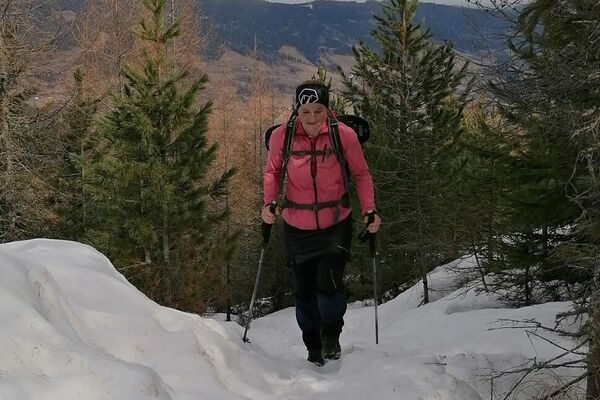
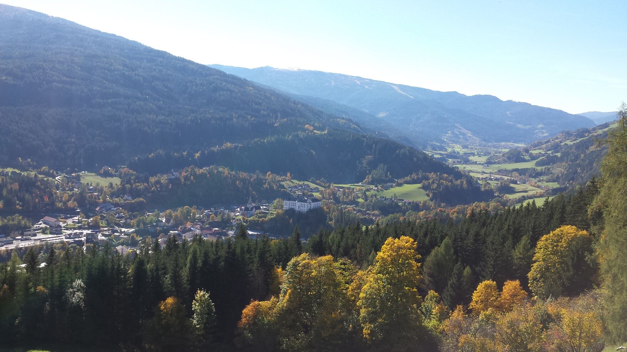
A delightful forest hike from the highest hospital in Styria to the summit - a true local recreation area near Murau, which has also become known as a climatic health resort.
- Difficulté
-
facile
- Évaluation
-
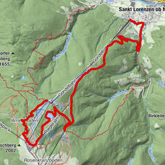
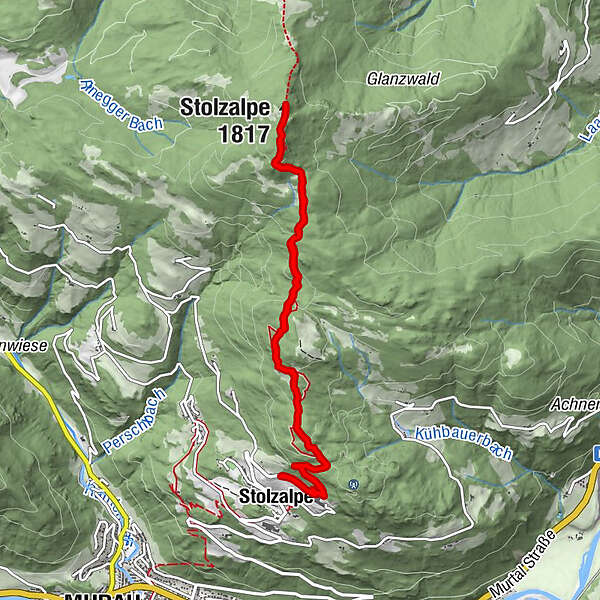
- Parcours
-
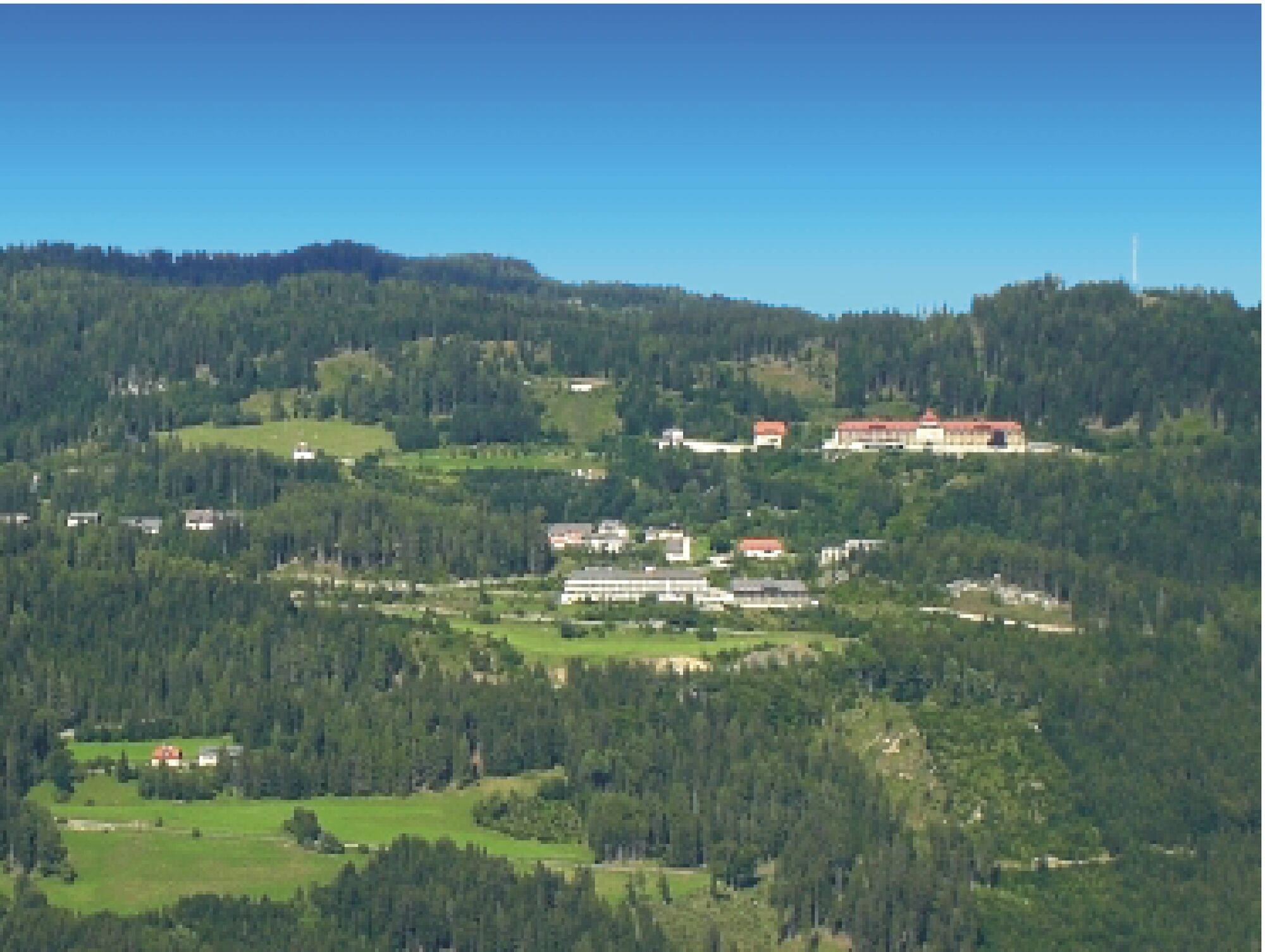
StolzalpeKapelle mit historischem Wegkreuz4,5 kmStolzalpe (1.817 m)4,9 kmStolzalpe9,8 km
- Meilleure saison
-
aoûtsept.oct.nov.déc.janv.févr.marsavrilmaijuinjuil.
- Hauteur maximale
- 1.811 m
- Point de mire
-
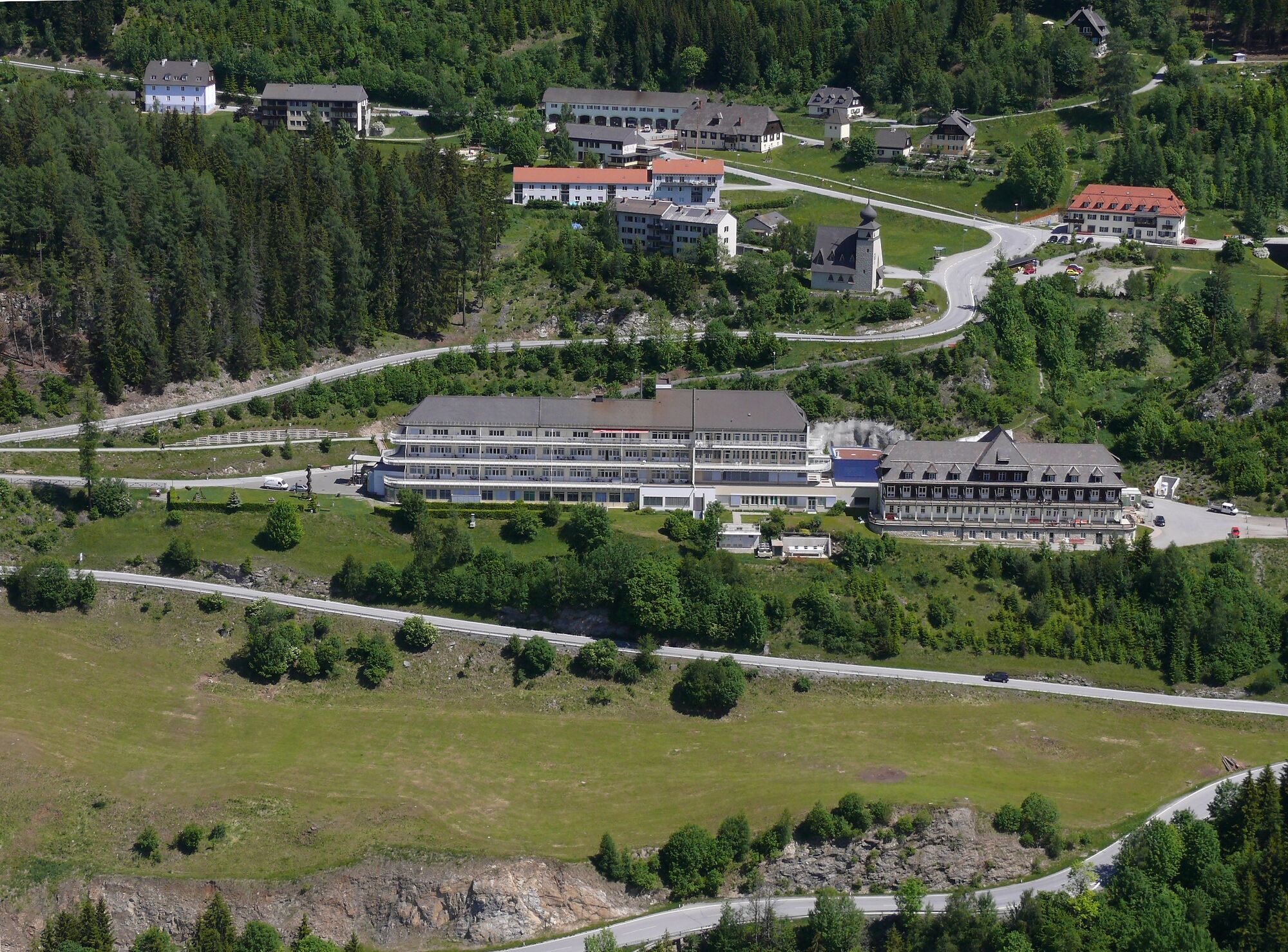
Parking lot Stolzalpe Haus 2
- Profil en hauteur
-

- Auteur
-
La randonnée Stolzalpe - from the LKH to the summit est utilisé par outdooractive.com fourni par.
GPS Downloads


Autres parcours dans les régions