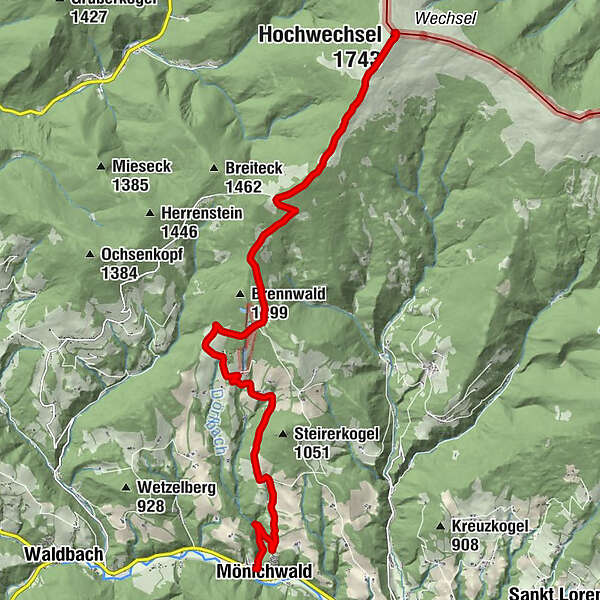
Summit tour: From Mönichwald to the Hochwechsel mountain

Faire du vélo

© Oststeiermark Tourismus - TV Joglland Waldheimat
- Brève description
-
From the lake to the mountain - is the motto of the tour from the flower village Mönichwald to the local mountain, the 1743 meter high Hochwechsel.
- Difficulté
-
difficile
- Évaluation
-
- Parcours
-
Seegasthof Breineder0,0 kmMönichwald0,0 kmKarnerviertel2,4 kmGemeindkreuz8,8 kmKaltwiesen Hütte9,8 kmGroße Steinwand (1.648 m)13,1 kmHochwechsel (1.743 m)14,0 kmWetterkoglerhaus14,2 km
- Meilleure saison
-
janv.févr.marsavrilmaijuinjuil.aoûtsept.oct.nov.déc.
- Hauteur maximale
- 1.735 m
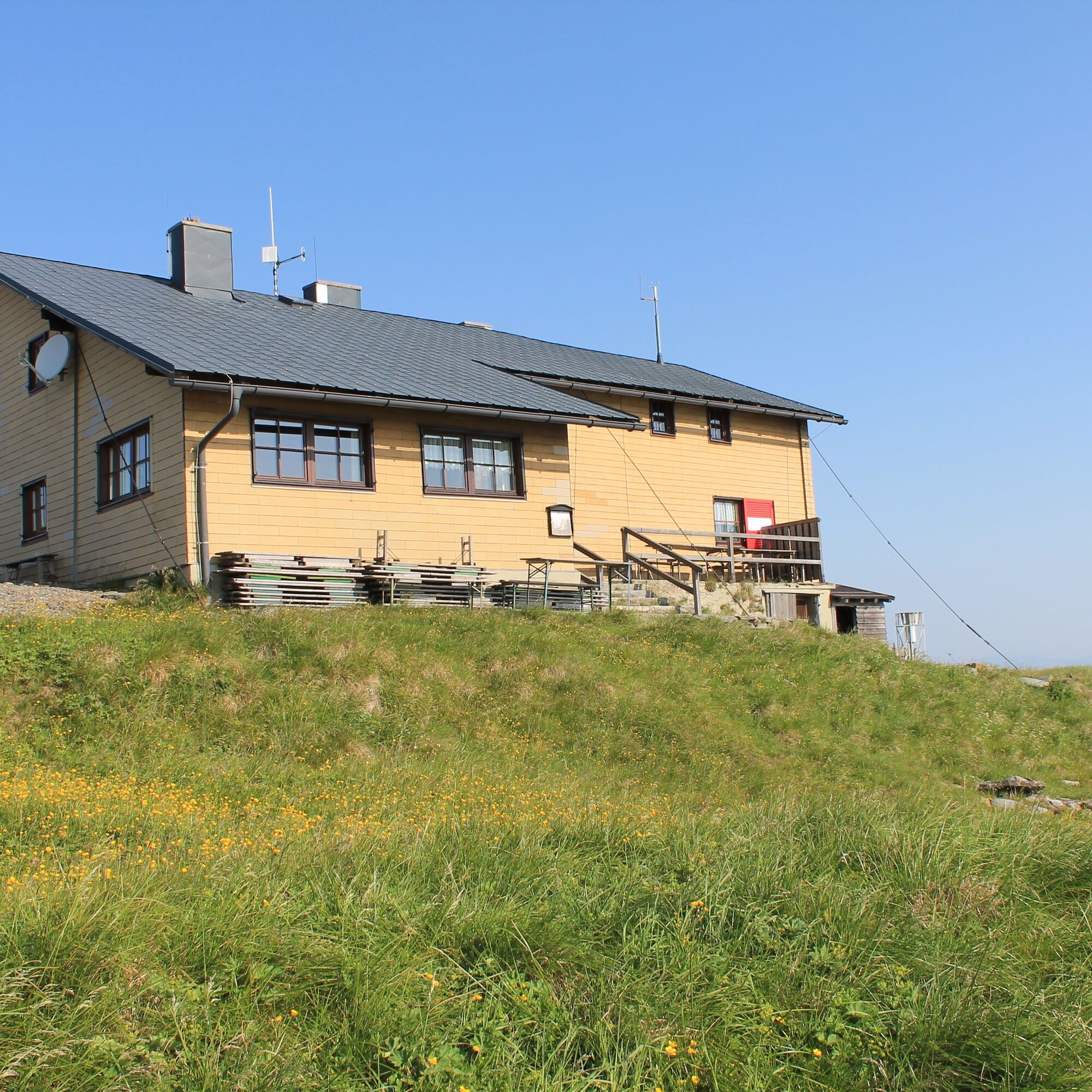
- Point de mire
-
Wetterkoglerhaus on the Hochwechsel
- Profil en hauteur
-

- Auteur
-
La randonnée Summit tour: From Mönichwald to the Hochwechsel mountain est utilisé par outdooractive.com fourni par.
GPS Downloads


Informations générales
Point de rassemblement
Prometteur
Autres parcours dans les régions
-
Wiener Alpen
224
-
Joglland - Waldheimat
111
-
Waldbach-Mönichwald
23