© TVB Oststeiermark - Christine Pollhammer

© TVB Oststeiermark - Christa Pollhammer

© TVB Oststeiermark - Christine Pollhammer

© TVB Oststeiermark - Christa Pollhammer

© TVB Oststeiermark - Christa Pollhammer

© TVB Oststeiermark - Christa Pollhammer

© Oststeiermark Tourismus - Christine Pollhammer

© TVB Oststeiermark - Christa Pollhammer

© TVB Oststeiermark - Christa Pollhammer

© TVB Oststeiermark - Christa Pollhammer
- Brève description
-
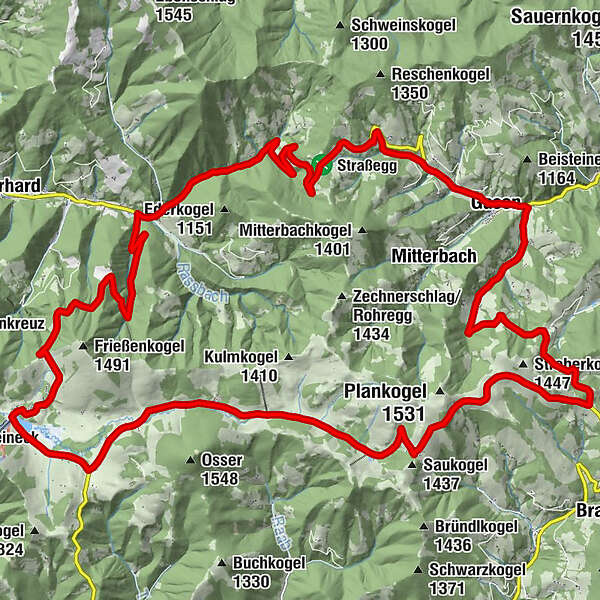
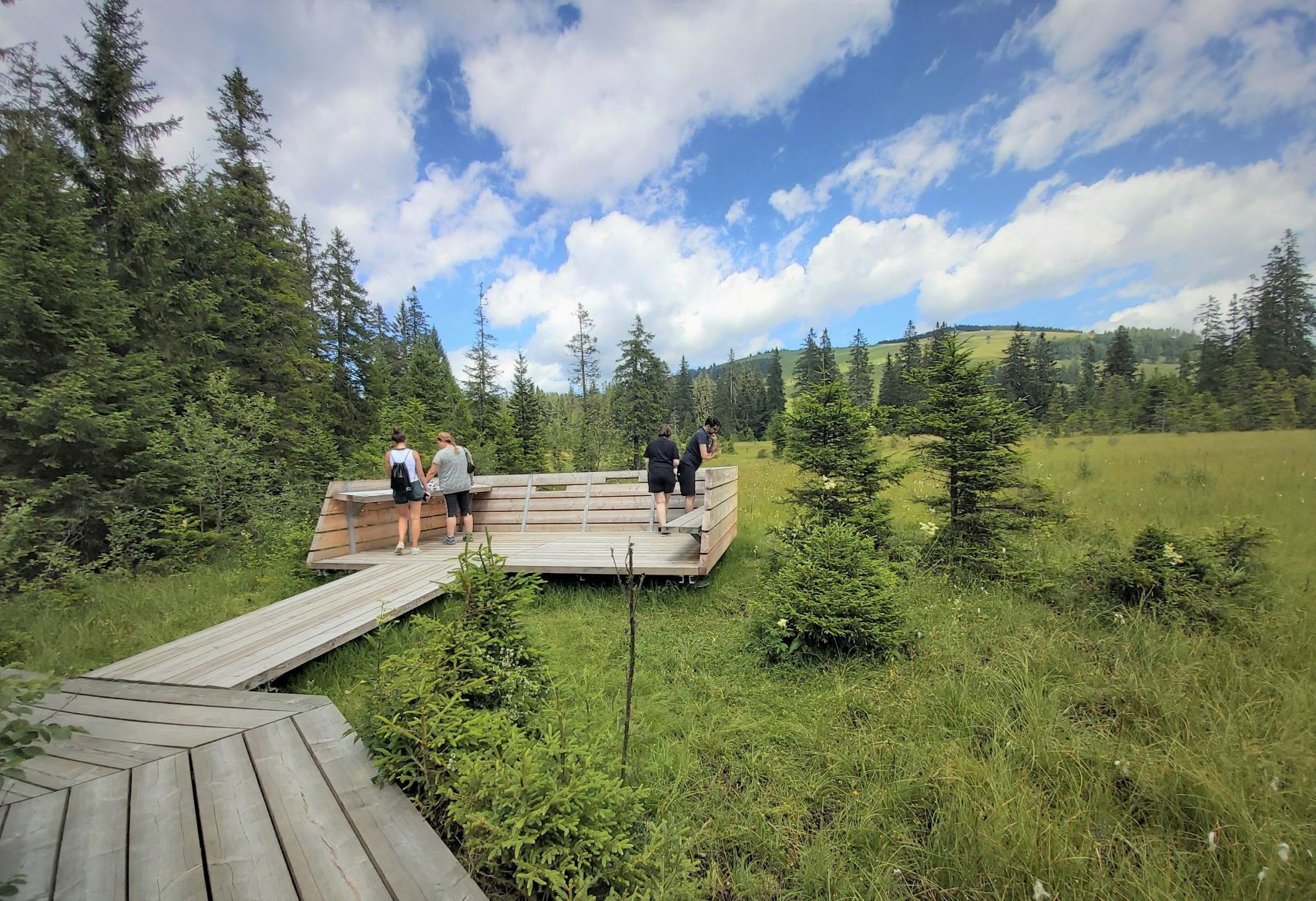
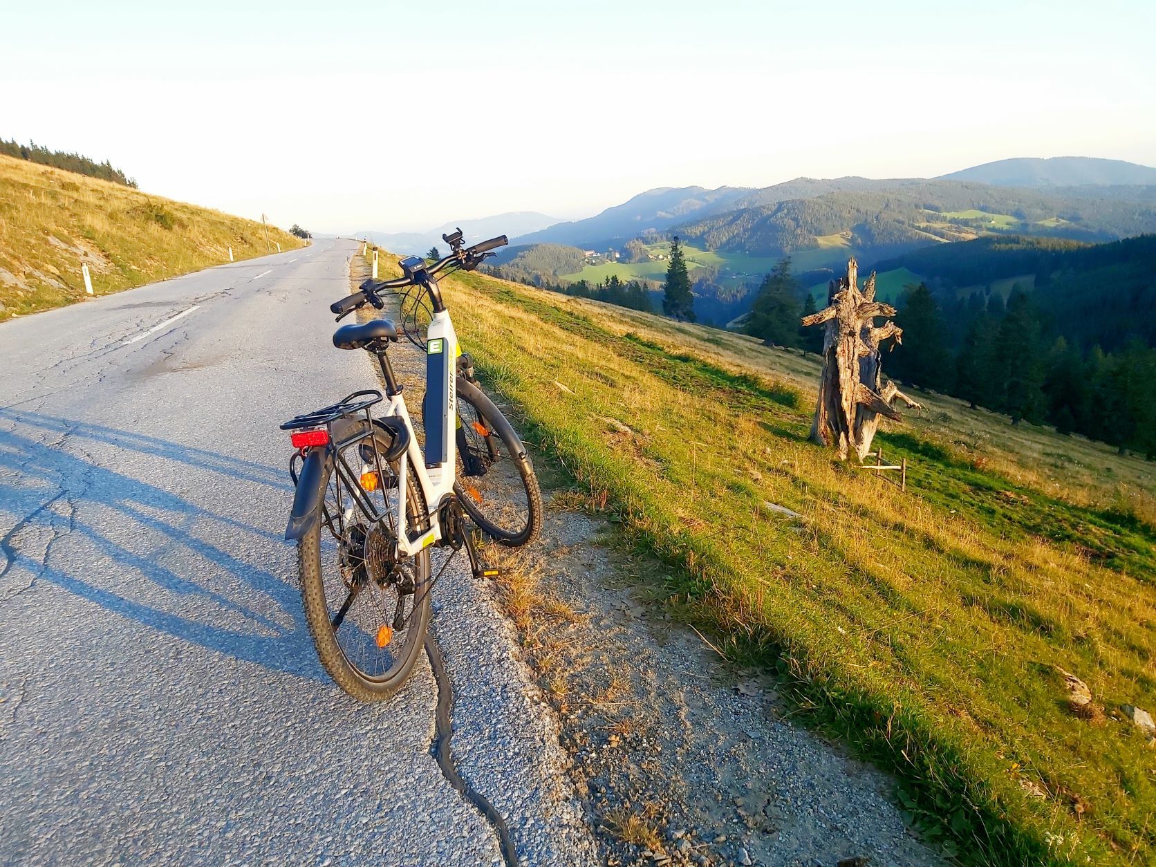
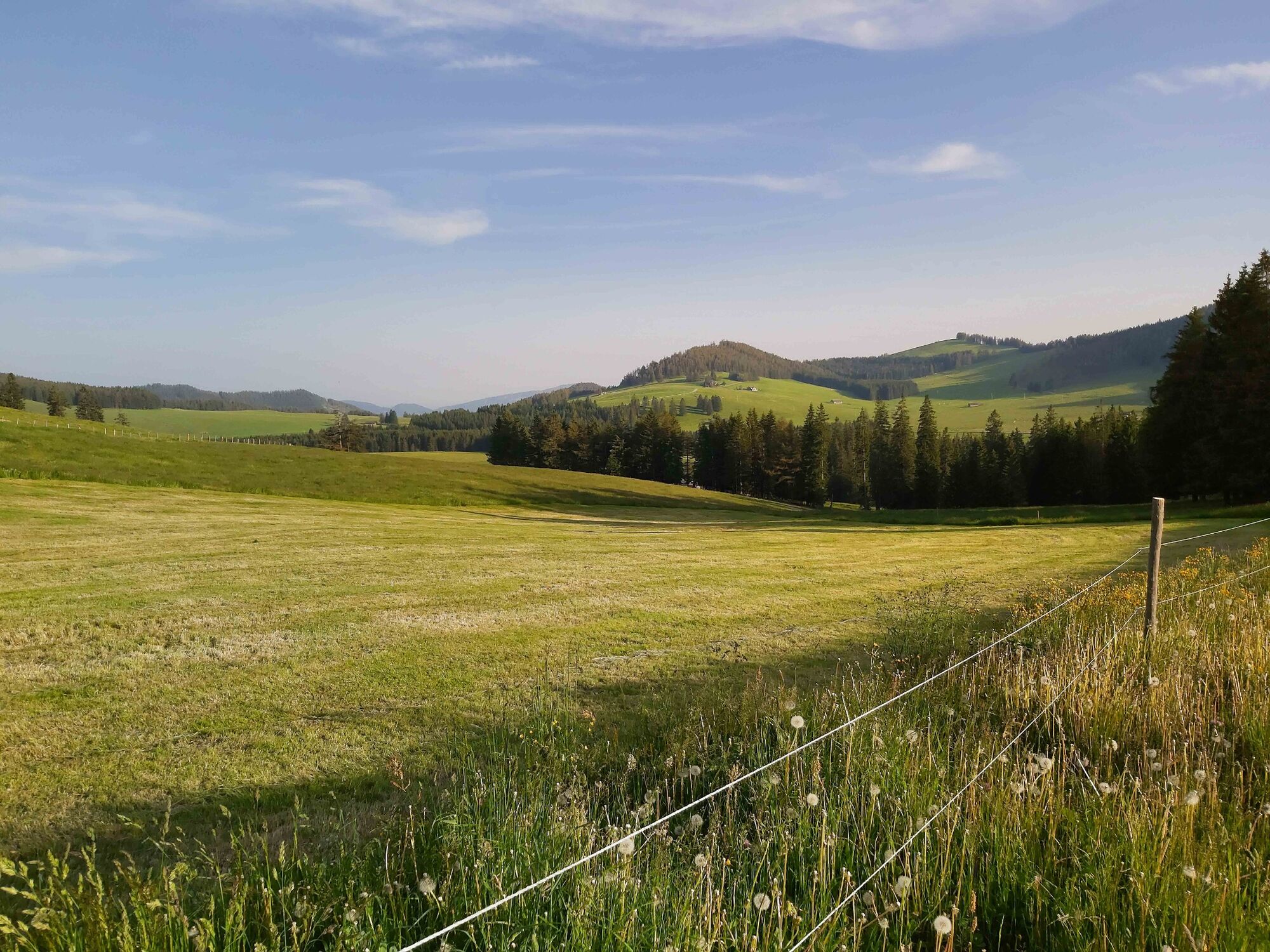
Across the alpine pastures from hut to hut - around the heart of the Almenland Nature Park! The route is asphalted throughout, making it easy to ride with trekking and road bikes.
- Difficulté
-
difficile
- Évaluation
-
- Parcours
-
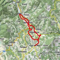
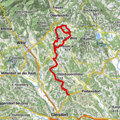
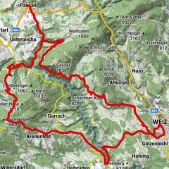
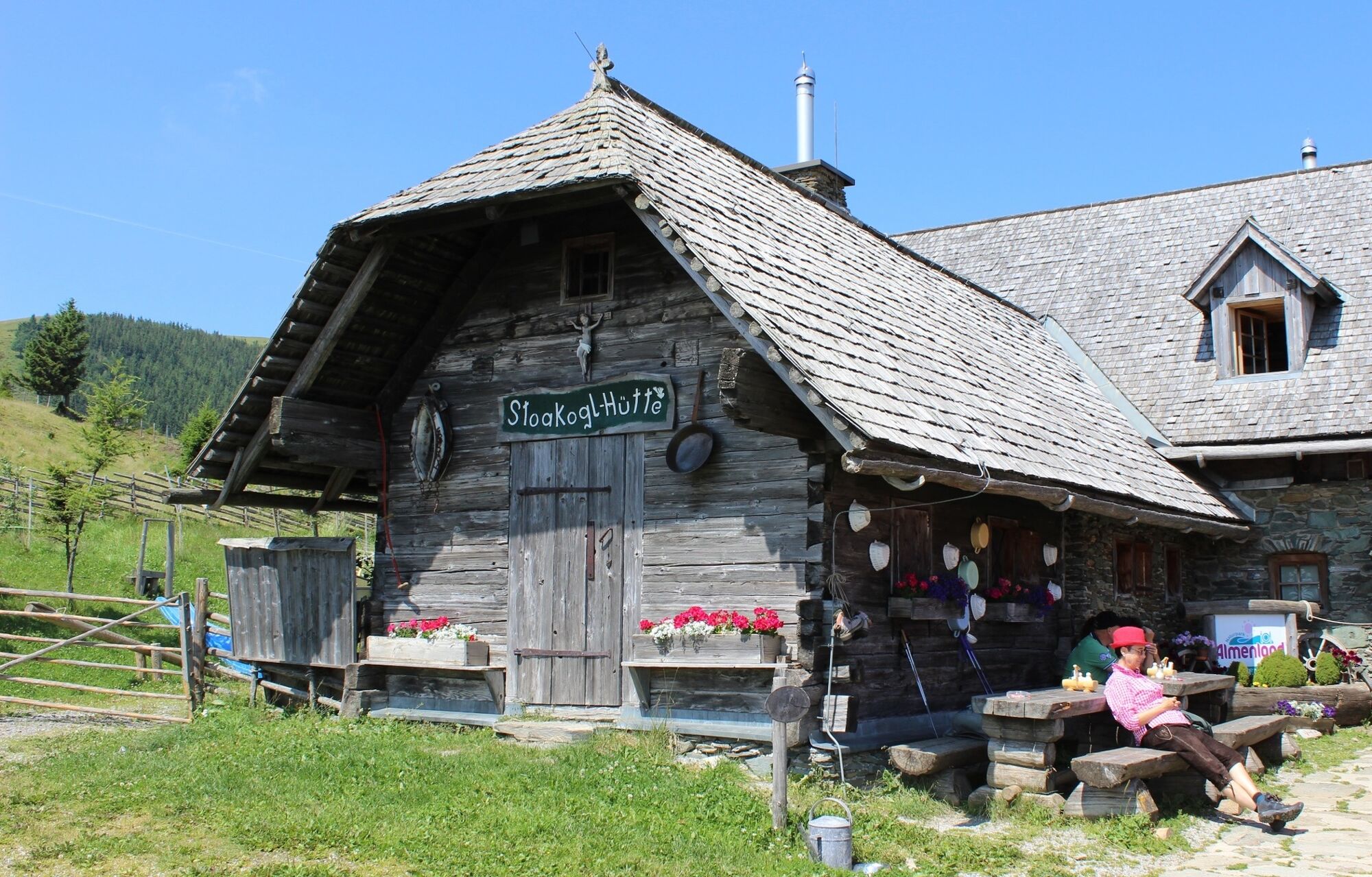
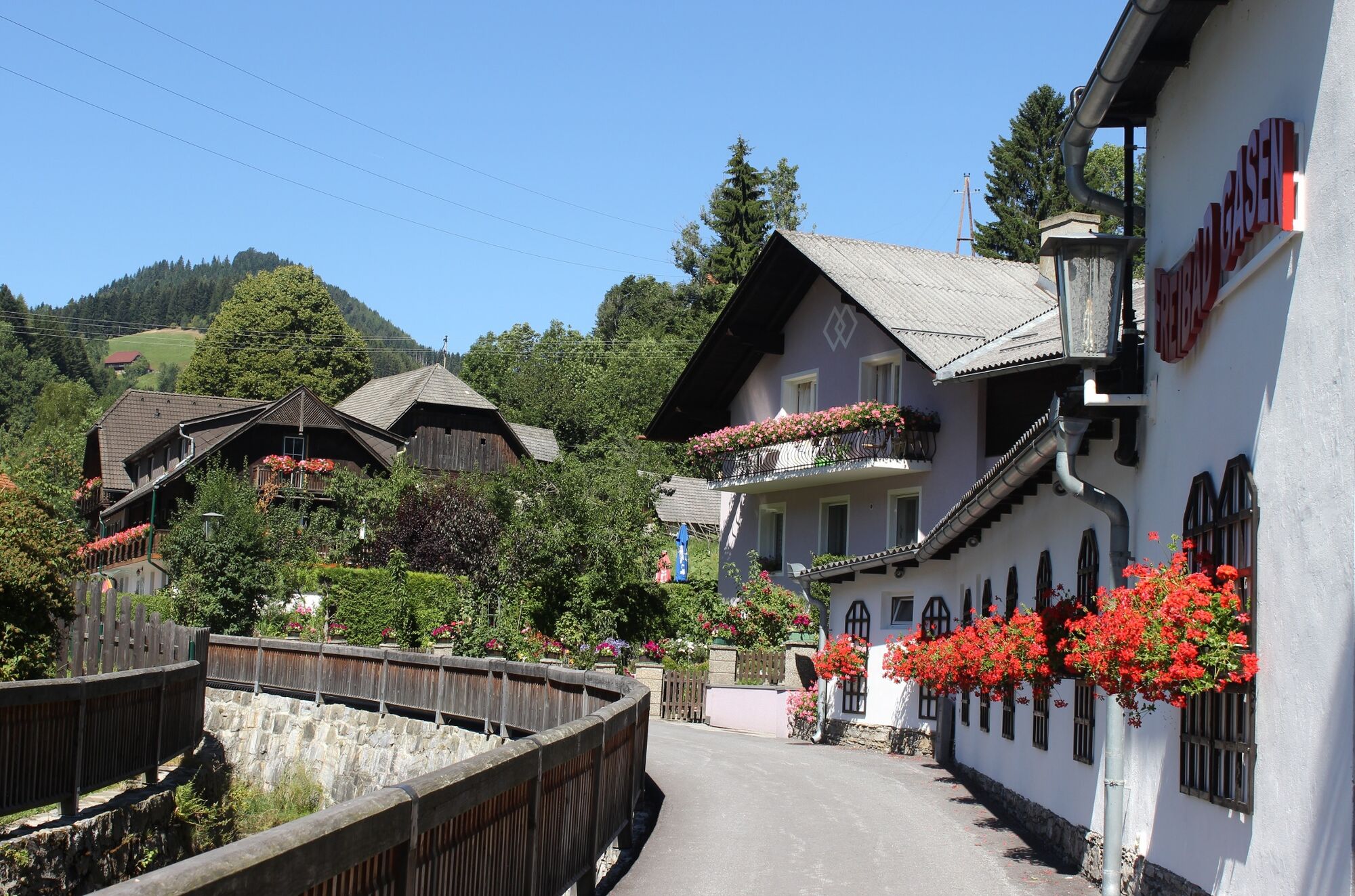
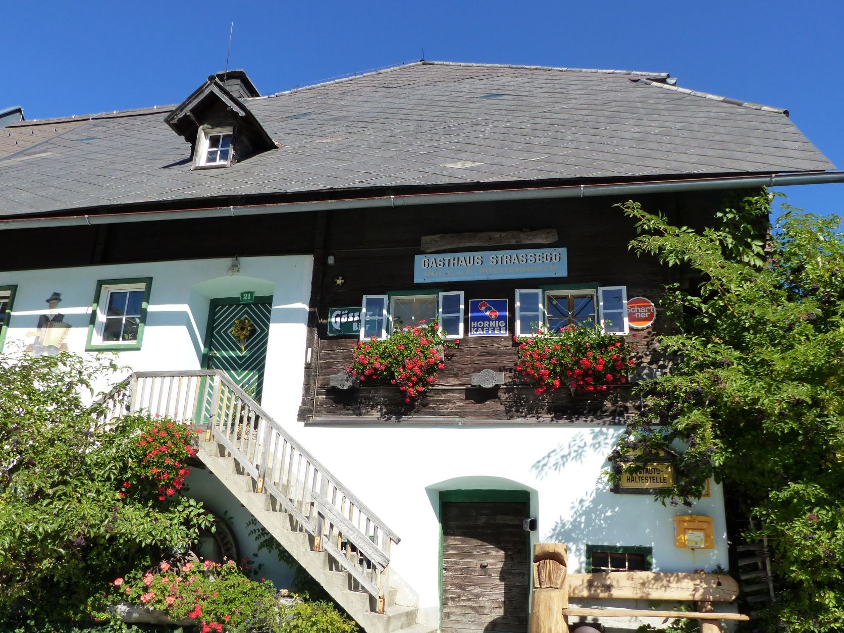
Angerwirt1,4 kmMoospeter Hütte2,1 kmHolzmeister4,1 kmHoldahütt'n6,9 kmSommeralm8,3 kmSommeralmkapelle8,4 kmStoakoglhütte10,3 kmAugraben17,4 kmJagawirt19,2 kmGasen19,2 kmWillingshofer19,2 kmStrasseggwirt23,3 kmTeichalm36,8 kmAlmgasthof Teichwirt (1.200 m)37,0 km
- Meilleure saison
-
janv.févr.marsavrilmaijuinjuil.aoûtsept.oct.nov.déc.
- Hauteur maximale
- 1.434 m
- Point de mire
-
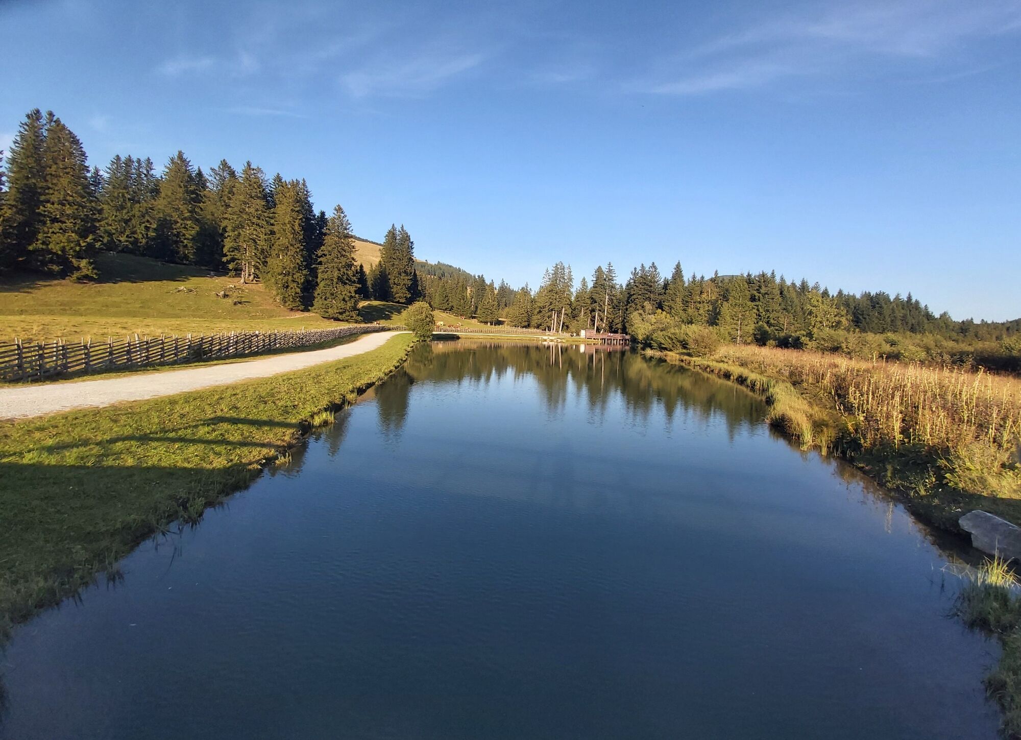
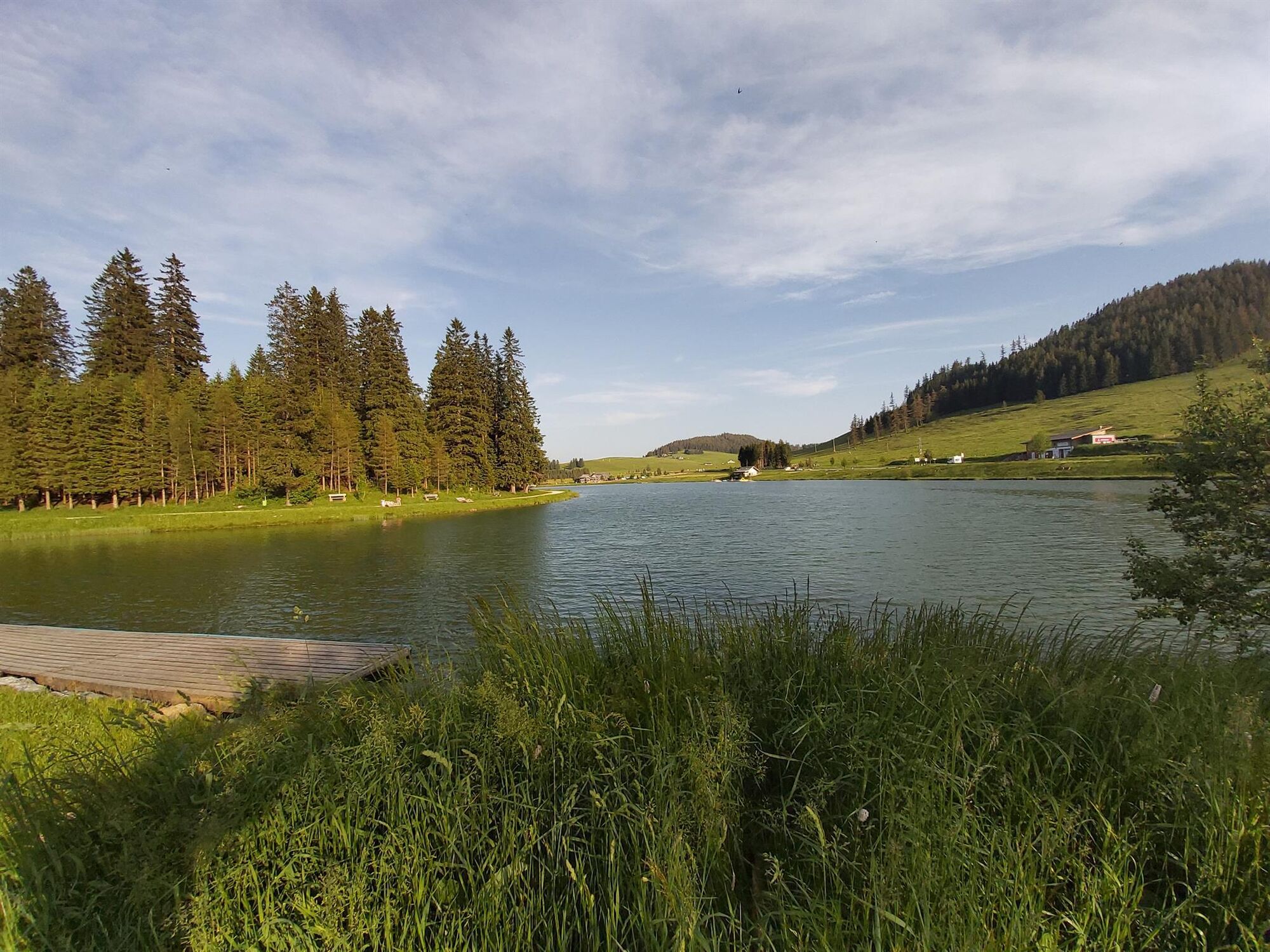
Teichalm Lake
- Profil en hauteur
-


-

-
AuteurLa randonnée Ochsentour Teichalm - Sommeralm est utilisé par outdooractive.com fourni par.
GPS Downloads


Informations générales
Point de rassemblement
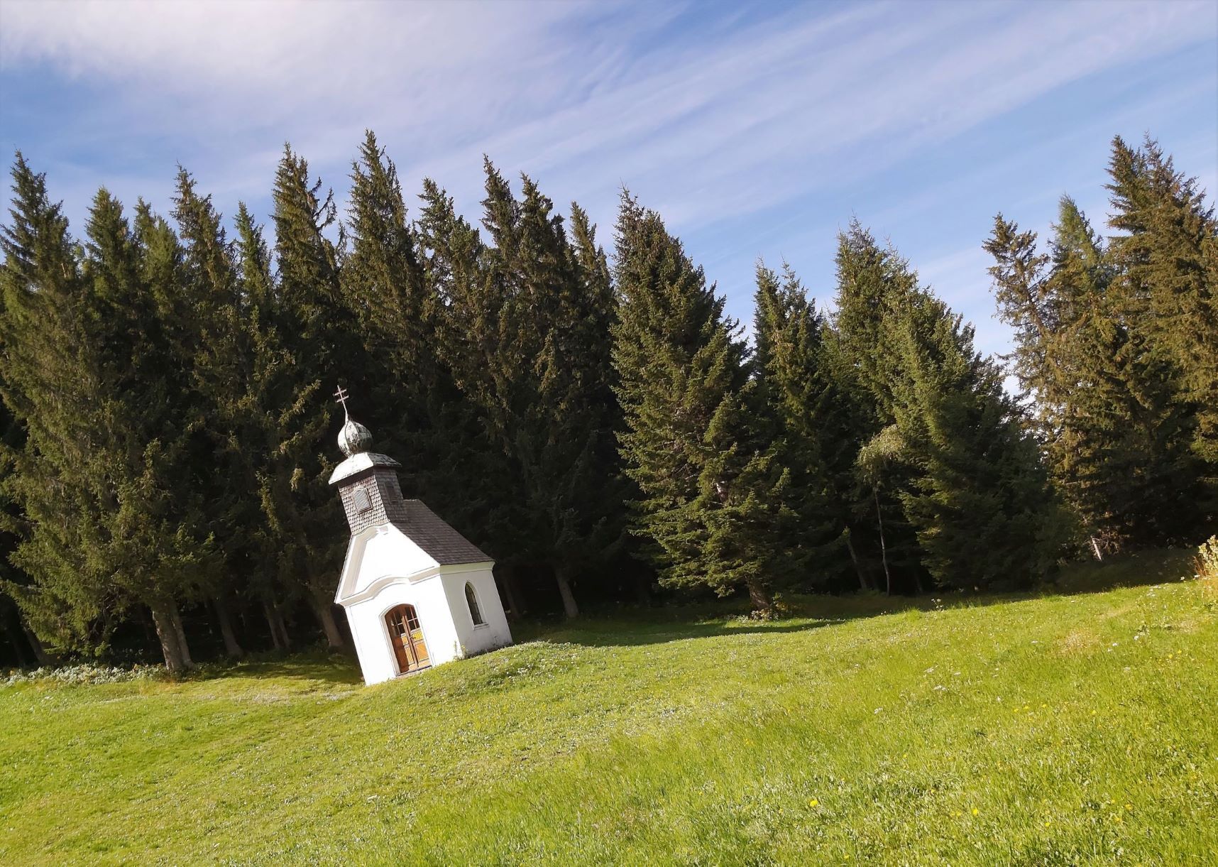
Culturel/Historiquement
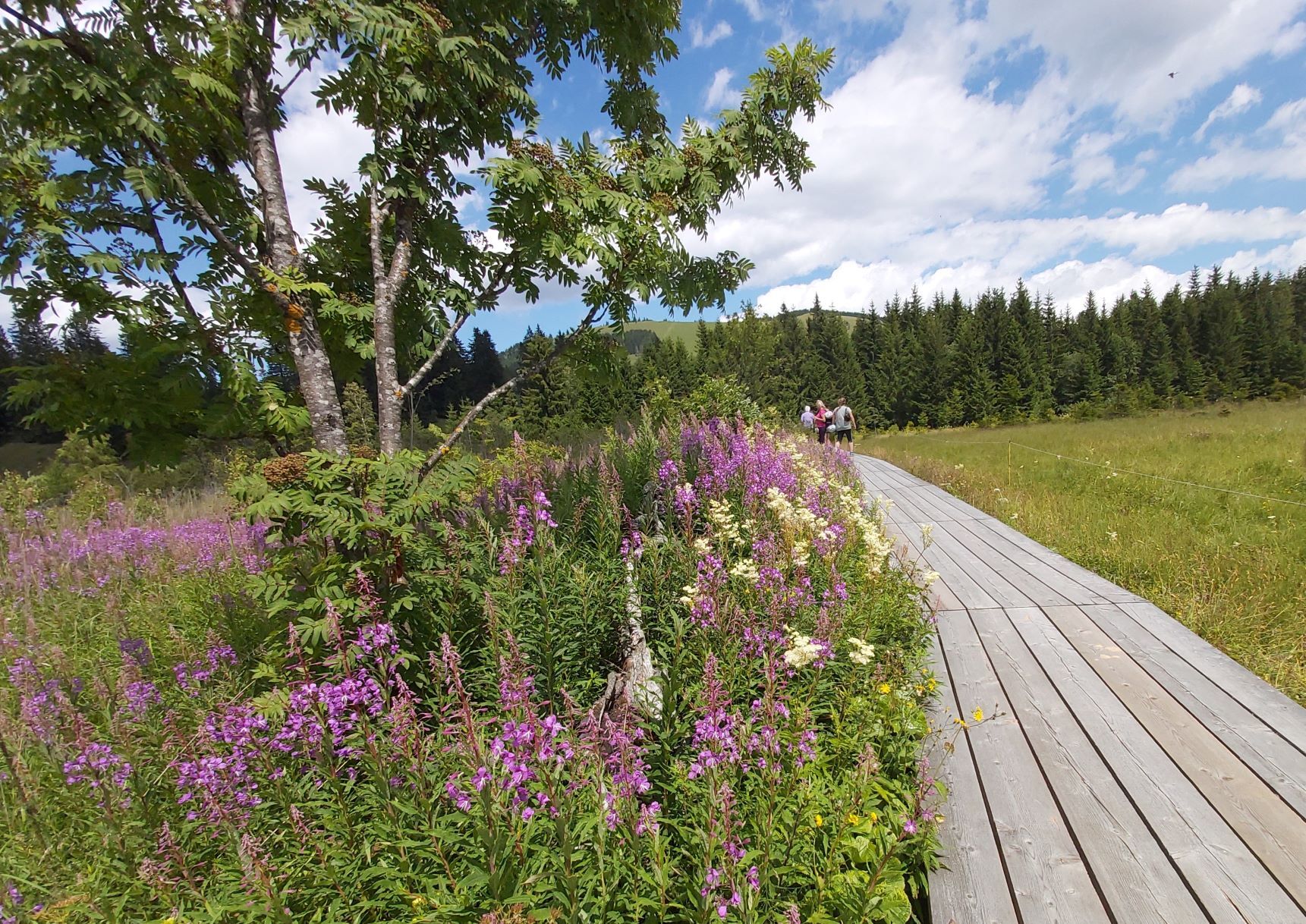
Flore
Prometteur
Autres parcours dans les régions
-
Hochsteiermark
177
-
Naturpark Almenland
123
-
Gasen
14