FB13 Pond Tour Thermal and Volcanic Land Styria (FB13 Teichtour Thermen- und Vulkanland Steiermark)

Faire du vélo

© TV Thermen- & Vulkanland - Bernhard Bergmann

© TV Thermen- & Vulkanland - Roman Schmidt

© TV Thermen- & Vulkanland - Josef Hödl

© TV Thermen- & Vulkanland - Seerosenbad Kirchberg
- Brève description
-
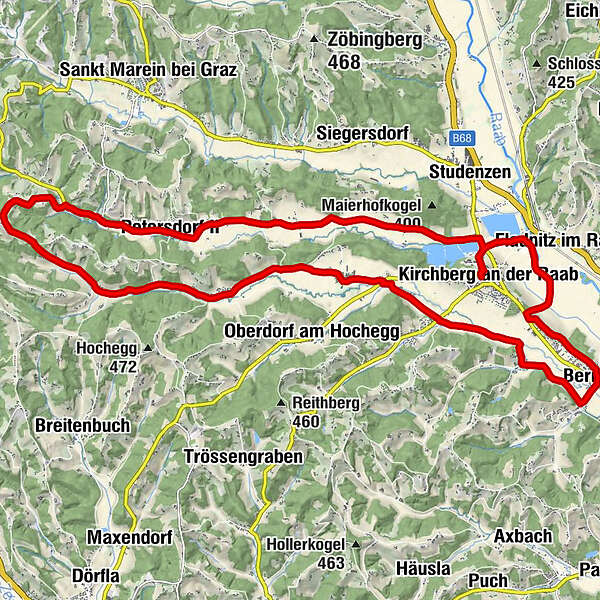
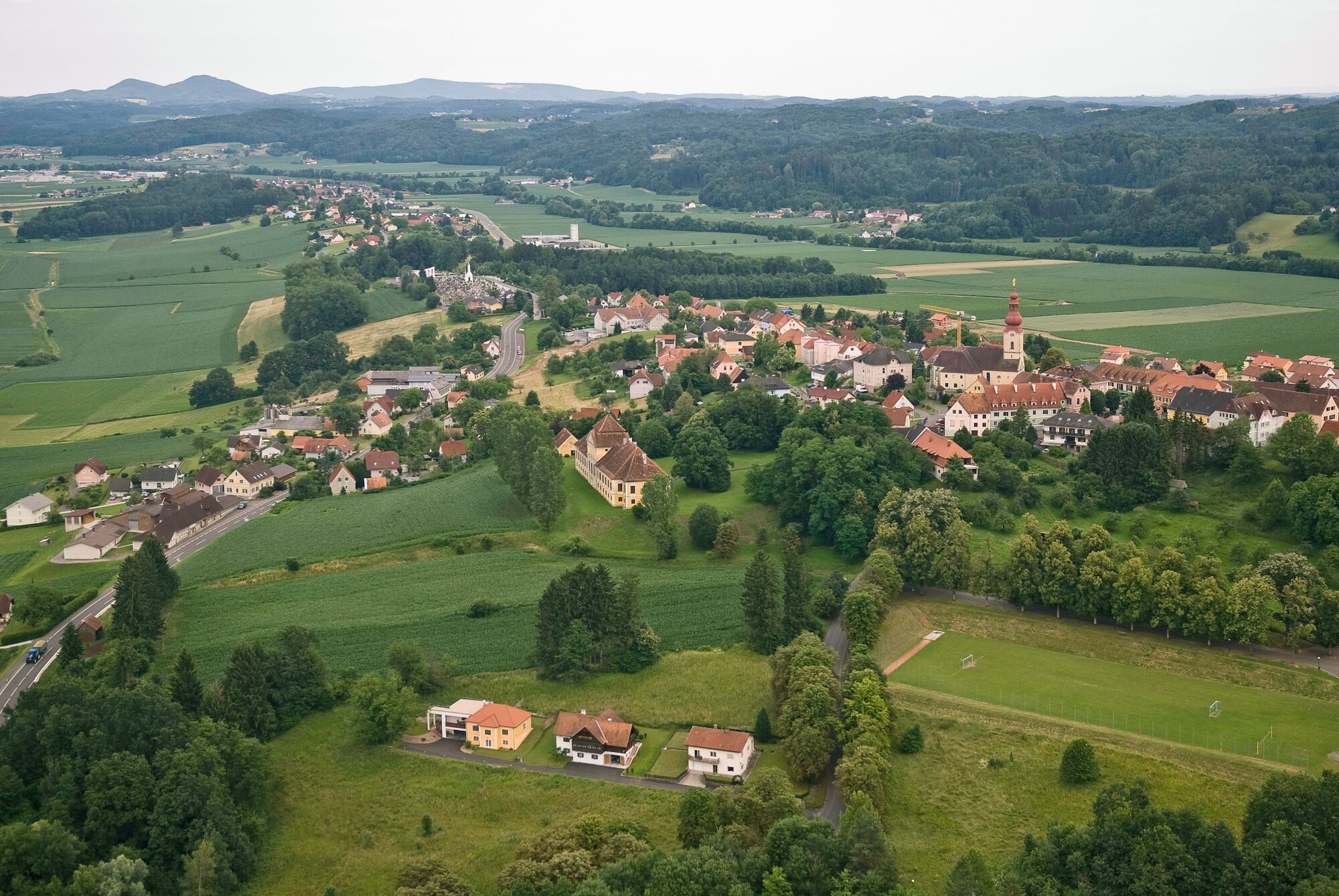
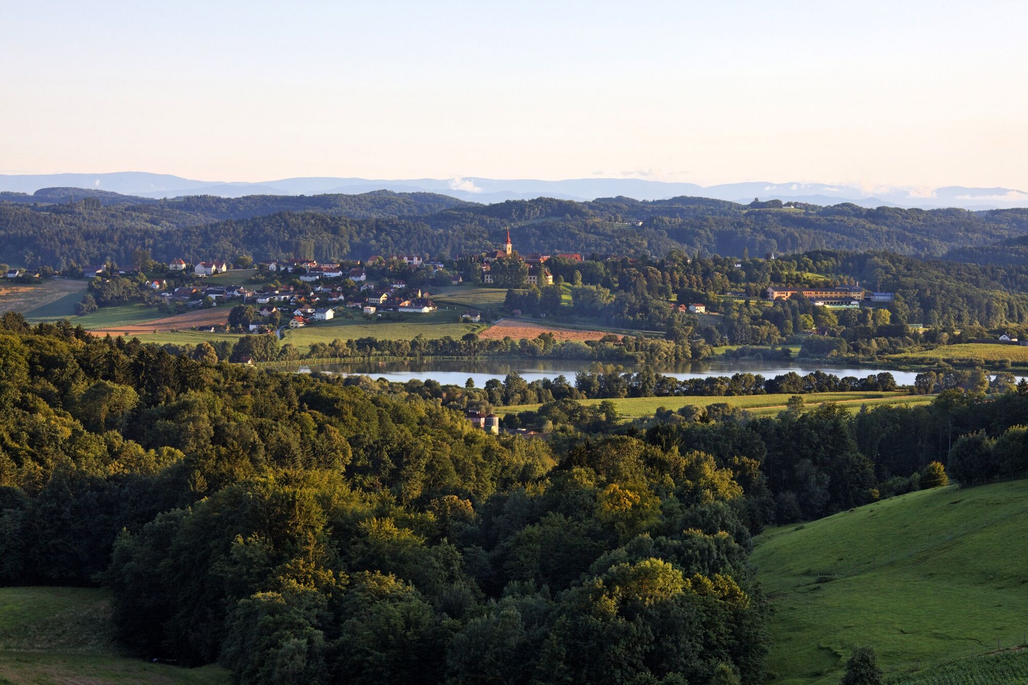
Around Kirchberg an der Raab. The FB13 pond tour is one of a total of 14 forest and meadow tours in the Feldbach region in the thermal and volcanic country of Styria.
- Difficulté
-
facile
- Évaluation
-
- Parcours
-
Kirchberg an der RaabPfarrkirche hl. FlorianRadersdorf3,9 kmPetersdorf II6,4 kmSiegensdorfberg9,1 kmUngerdorf11,0 kmTiefernitz14,3 kmMehlteuer16,8 kmWörth bei Kirchberg an der Raab20,6 kmOberstorcha21,8 kmMesskapelle22,4 kmBerndorf22,5 kmUrlas23,8 kmUrlasgang24,4 kmGasthaus Gsöls26,1 kmPfarrkirche hl. Florian27,4 kmKirchberg an der Raab27,4 km
- Meilleure saison
-
janv.févr.marsavrilmaijuinjuil.aoûtsept.oct.nov.déc.
- Hauteur maximale
- 471 m
- Point de mire
-
Kirchberg an der Raab - Kirche
- Profil en hauteur
-


- Auteur
-
La randonnée FB13 Pond Tour Thermal and Volcanic Land Styria (FB13 Teichtour Thermen- und Vulkanland Steiermark) est utilisé par outdooractive.com fourni par.
GPS Downloads


Informations générales
Point de rassemblement
Autres parcours dans les régions
-
Oststeiermark
377
-
Region Gleisdorf
232
-
Kirchberg an der Raab
50