

© Oststeiermark Tourismus - TV Joglland Waldheimat

© Verein Vorauer Wirtschaft - TV Joglland Waldheimat

© Verein Vorauer Wirtschaft - TV Joglland Waldheimat

© Verein Vorauer Wirtschaft - TV Joglland Waldheimat

© Unbekannt - (C) Olmstoll

© Oststeiermark Tourismus - Albrechtsberger

- Brève description
-
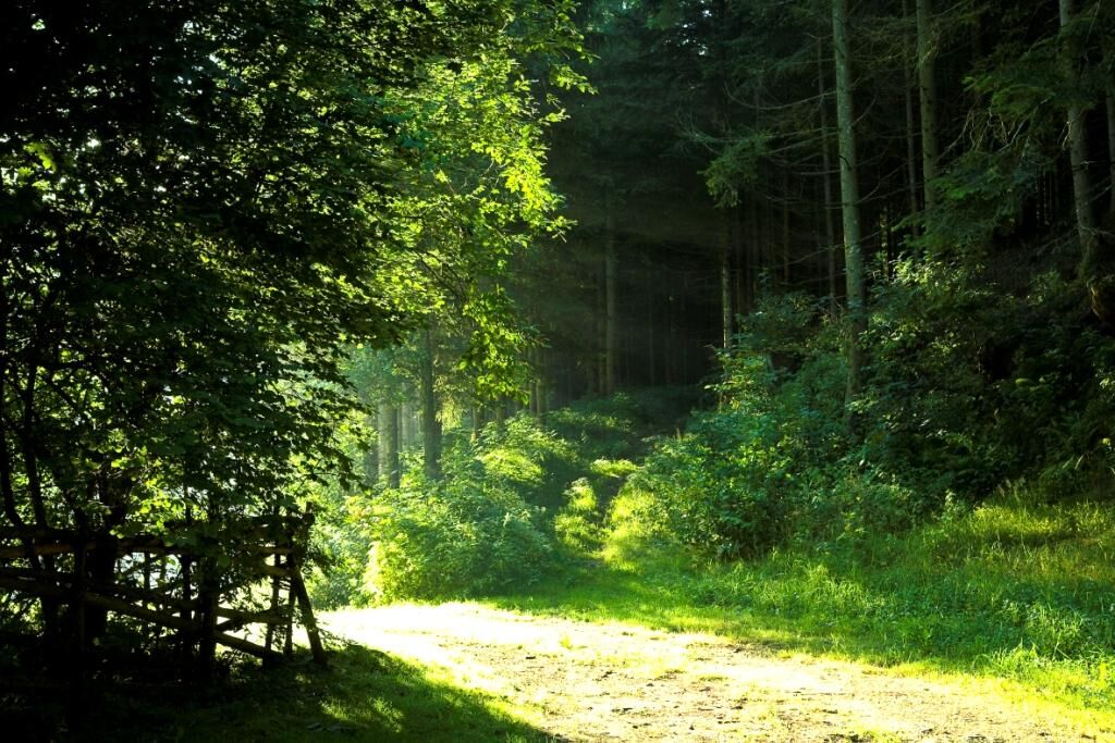
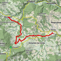
The hike leads, starting from the market Vorau, to the local mountain of Vorau, the Masenberg. There you will be offered a magnificent view over the East Styrian hill country.
- Difficulté
-
moyen
- Évaluation
-
- Parcours
-
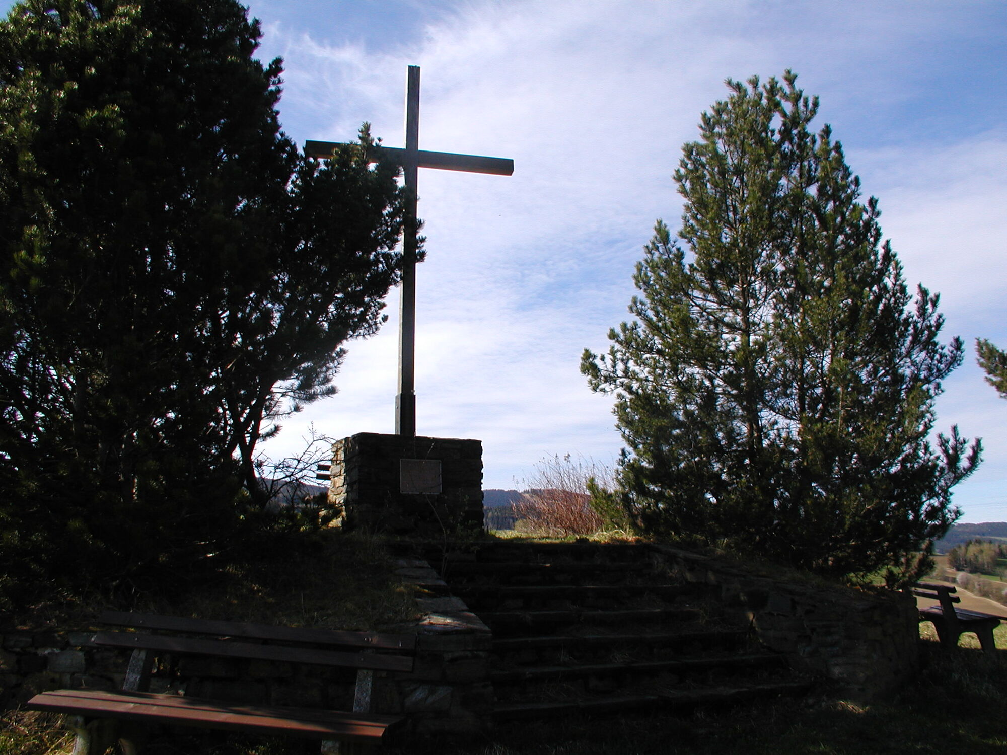
Olmstoll9,2 kmGlückskapelle9,5 kmSchutzhaus Masenberg9,6 kmMasenberg (1.261 m)9,6 km
- Meilleure saison
-
janv.févr.marsavrilmaijuinjuil.aoûtsept.oct.nov.déc.
- Hauteur maximale
- 1.257 m
- Point de mire
-
Masenberg
- Profil en hauteur
-


- Auteur
-
La randonnée Augustine Way est utilisé par outdooractive.com fourni par.
GPS Downloads


Informations générales
Point de rassemblement
Autres parcours dans les régions
-
Thermen- & Vulkanland
1324
-
Naturpark Pöllauer Tal
1095
-
Vorau
294

 Walter Laschober")


