© Schilcherland Steiermark - Peter Kremser

© Südsteiermark - Hannes Eybel

© Südsteiermark - Hannes Eybel

© Unbekannt

© Unbekannt


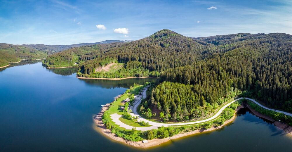
© Schilcherland Steiermark - Bernhard Prangl
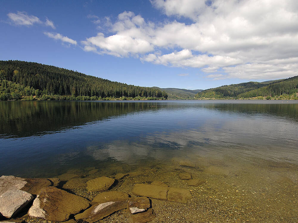
© Schilcherland Steiermark - Bernhard Prangl

© Schilcherland Steiermark - Bernhard Prangl

© Schilcherland Steiermark - Bernhard Prangl
- Brève description
-
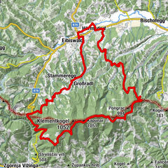
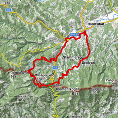
In the grand tours of the road professionals, the king's stages are those sections of the day that are the longest for the participants and are packed with the most metres in altitude.
- Difficulté
-
difficile
- Évaluation
-
- Parcours
-
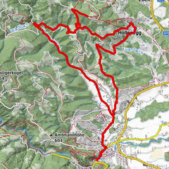
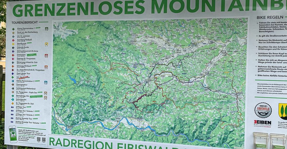
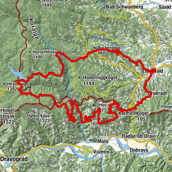
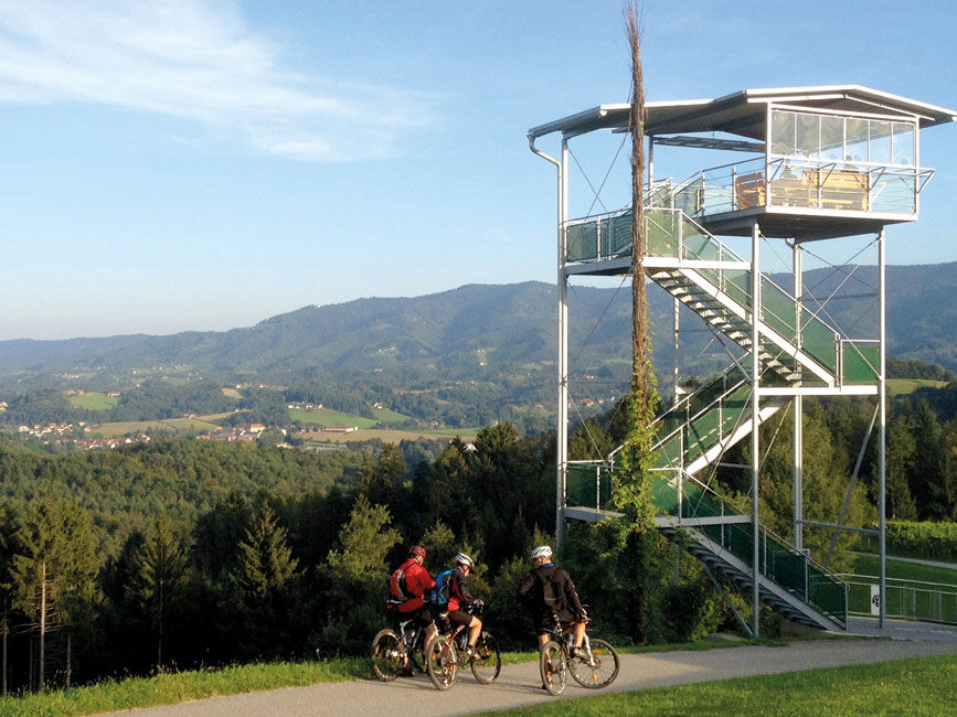
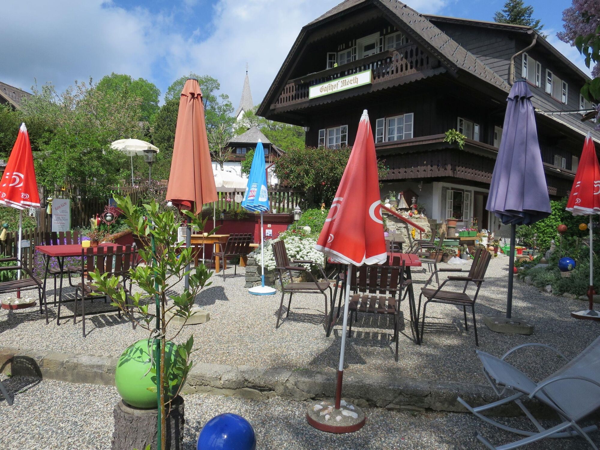
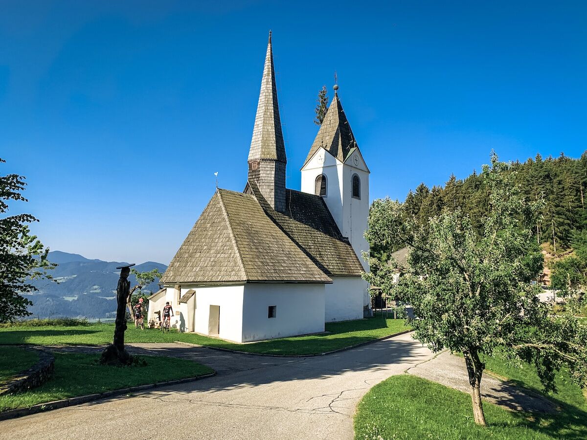
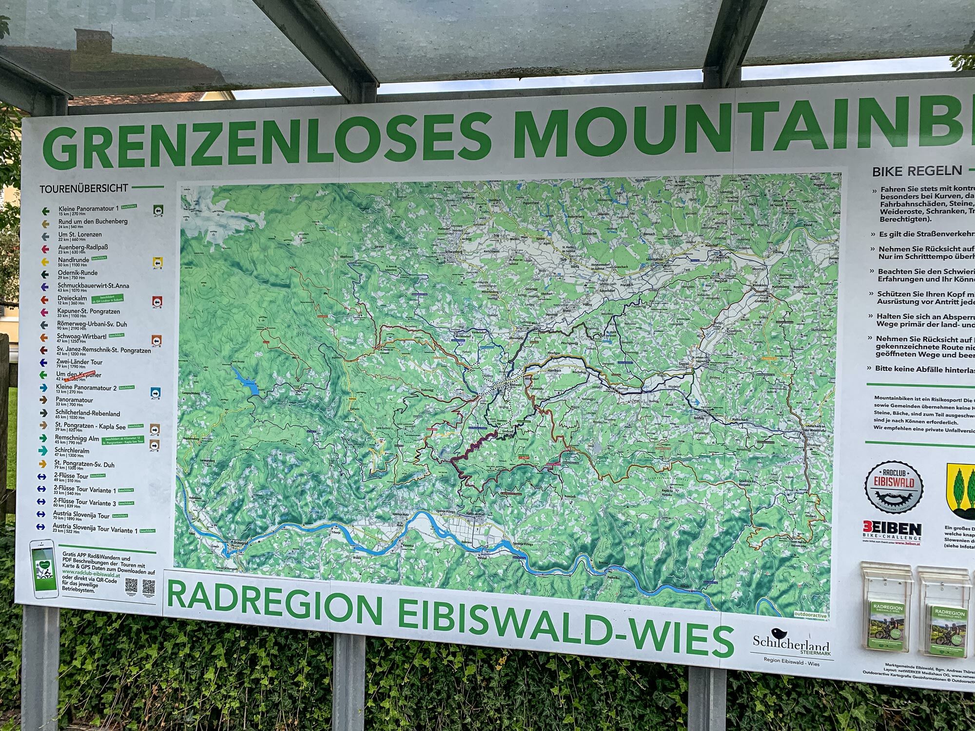
Pfarrkirche Maria im DornHasewend’s Kirchenwirt0,0 kmEibiswald0,3 kmStammeregg3,5 kmProter Kapelle4,3 kmMlinarjev vrh (777 m)12,4 kmZwatricks Restaurant - Café - Wein50,7 kmSoboth54,5 kmAlpengasthof Messner (1.058 m)54,6 kmGasthof Mörth54,6 kmRoschitzhof57,3 kmKrumbach61,9 kmSankt Oswald ob Eibiswald65,6 kmHöchwirth Kapelle70,0 kmAussichtsturm Garber74,0 kmBuschenschank Garber74,1 kmEibiswald77,6 kmHasewend’s Kirchenwirt78,2 kmPfarrkirche Maria im Dorn78,2 km
- Meilleure saison
-
janv.févr.marsavrilmaijuinjuil.aoûtsept.oct.nov.déc.
- Hauteur maximale
- 1.171 m
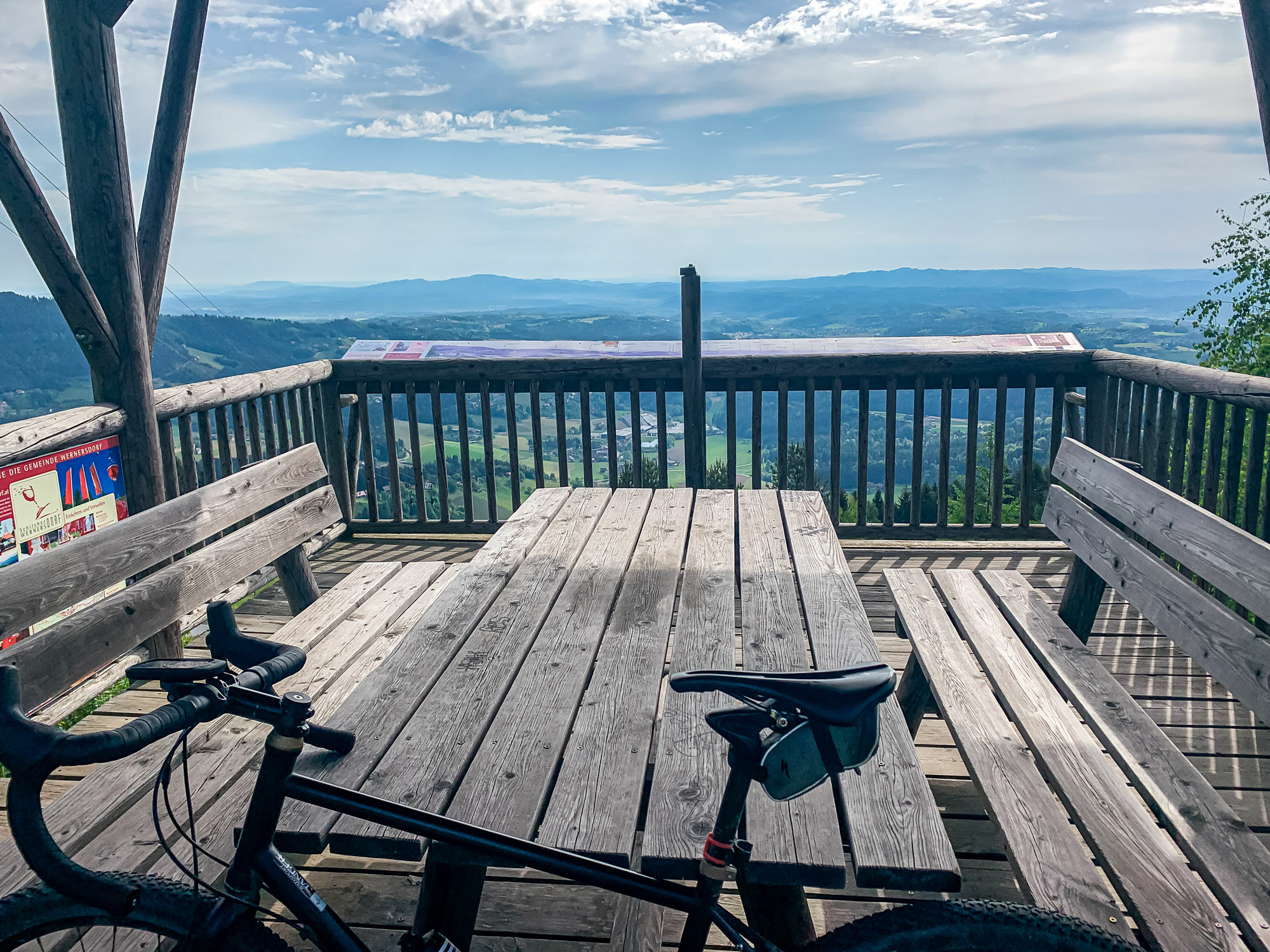
- Point de mire
-
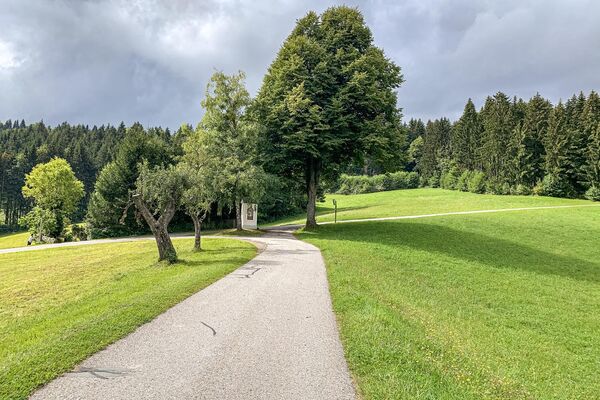
Eibiswald church square
- Profil en hauteur
-


- Auteur
-
La randonnée Two-country tour - the royal stage. est utilisé par outdooractive.com fourni par.
GPS Downloads


Informations générales
Point de rassemblement
Prometteur
Autres parcours dans les régions
-
Südsteiermark
137
-
Schilcherland Steiermark
85
-
Muta
38