


© Südsteiermark - Schilcherland Steiermark

© Südsteiermark - Schilcherland Steiermark


© Schilcherland Steiermark - Stefanie Schmid
© Schilcherland Steiermark - Stefanie Schmid
- Brève description
-
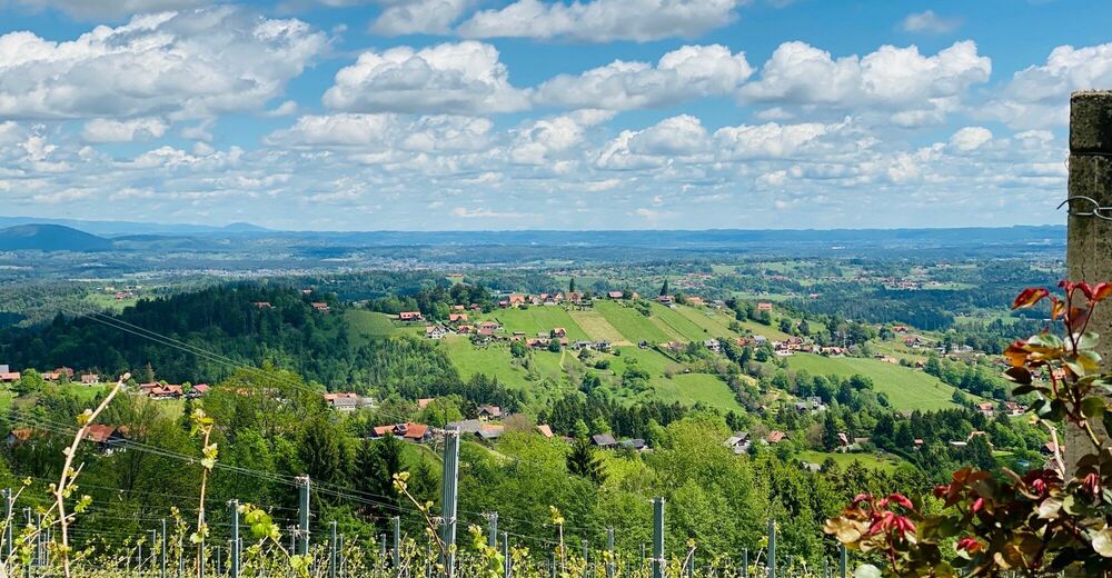
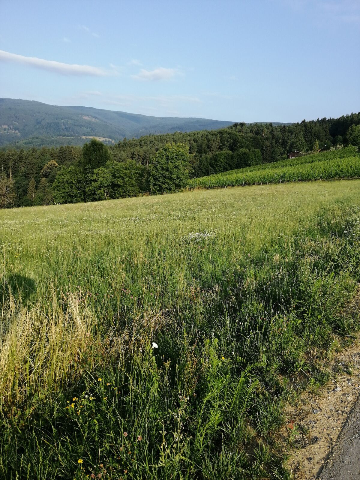
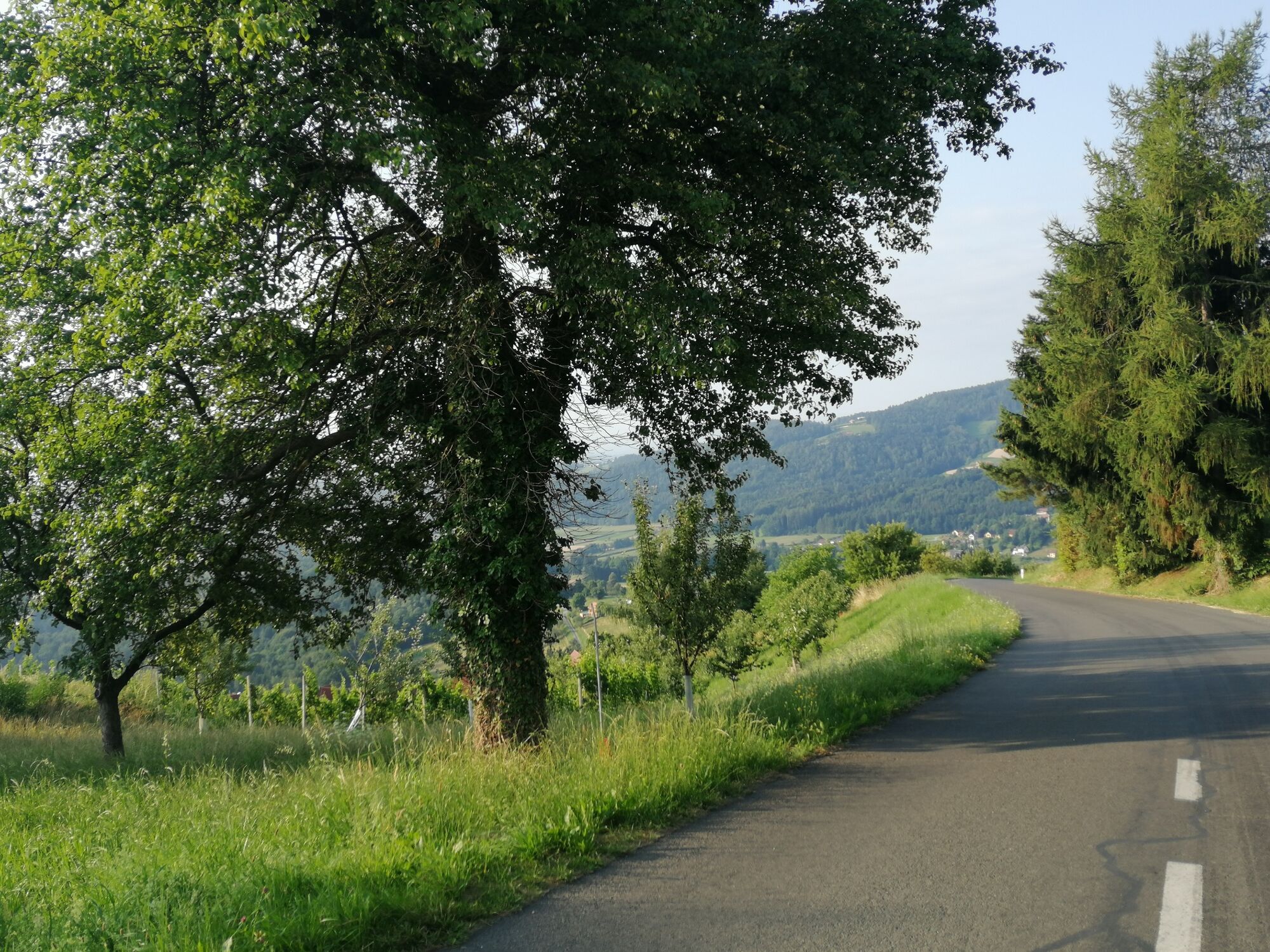
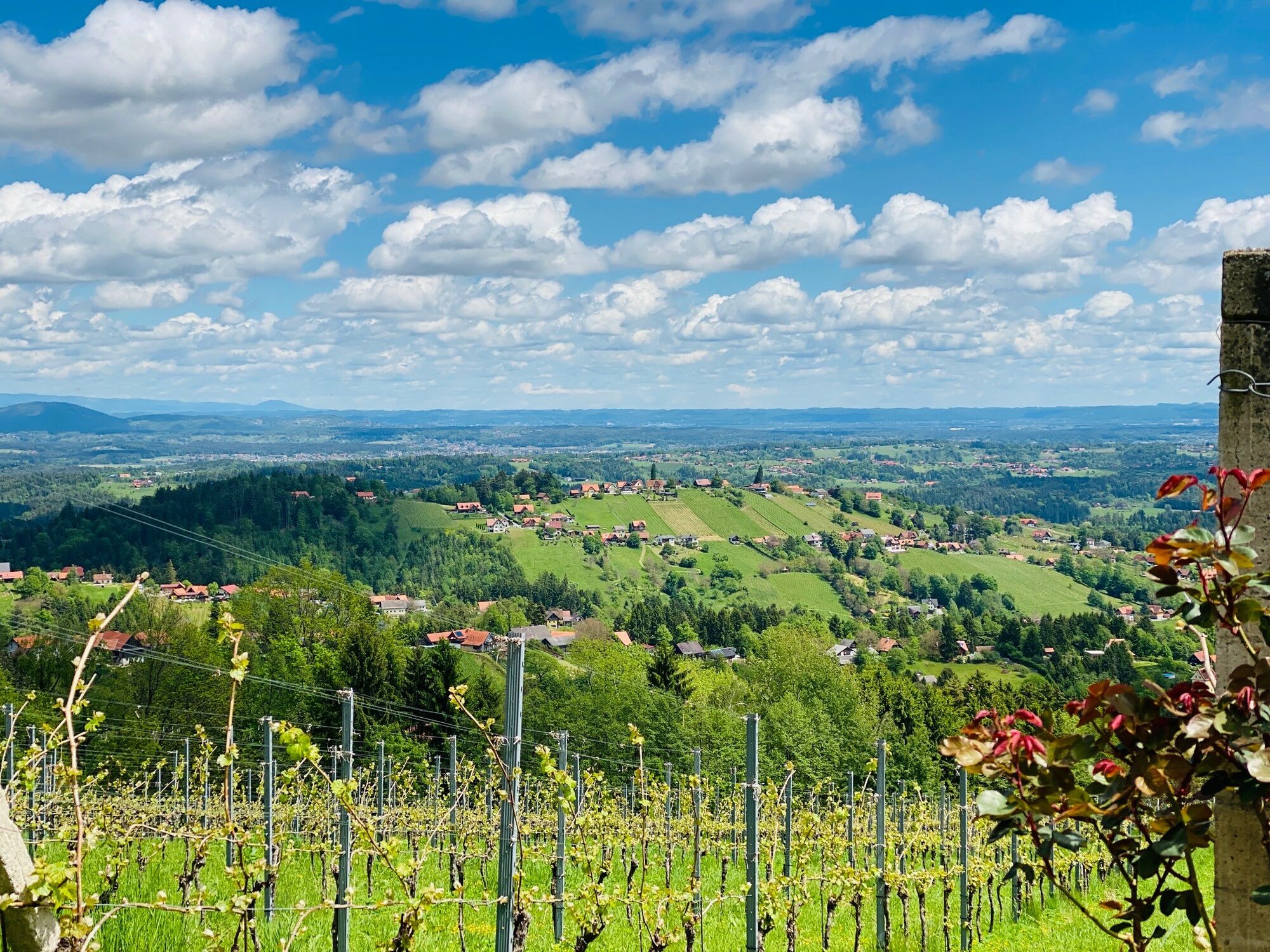
Through mountain and valley is the motto of the Schilcherberg Run. A challenging running route for experienced runners. Discover the vineyards of the Schilcherland.
- Difficulté
-
difficile
- Évaluation
-
- Parcours
-
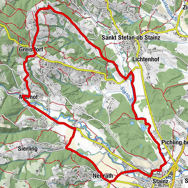
Stainz0,3 kmNeurath1,8 kmWald in der Weststeiermark3,9 kmWegkapelle5,7 kmMarhof5,7 kmMarhofberg6,1 kmKornkneul6,6 kmGreisdorf7,4 kmLangegg8,2 kmLestein9,8 kmSchleicher11,6 kmLemsitz12,0 kmStainz15,6 kmPfarrkirche Heilige Katharina15,8 km
- Meilleure saison
-
janv.févr.marsavrilmaijuinjuil.aoûtsept.oct.nov.déc.
- Hauteur maximale
- 593 m
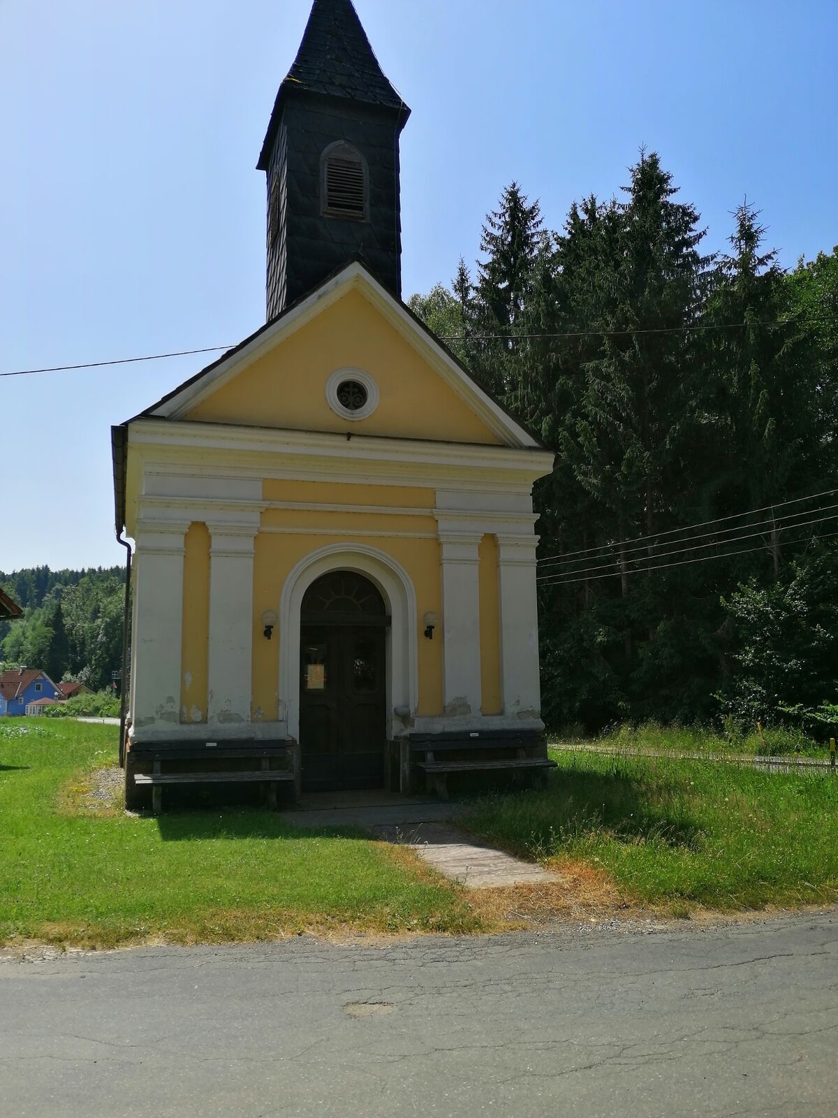
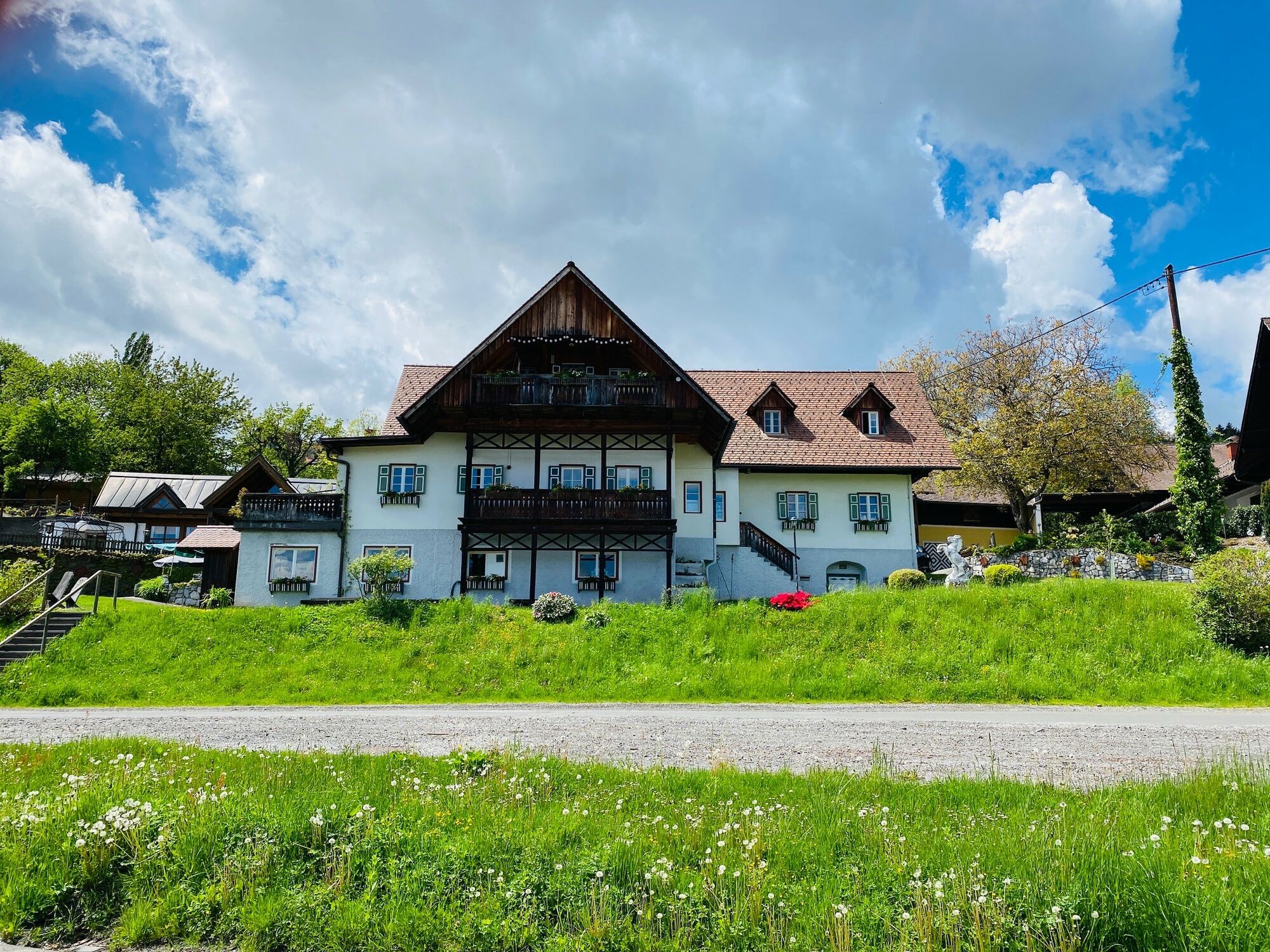
- Point de mire
-
Stainz castle
- Profil en hauteur
-


-

-
AuteurLa randonnée Schilcherberg run est utilisé par outdooractive.com fourni par.
GPS Downloads


Informations générales
Point de rassemblement
Prometteur
Autres parcours dans les régions


