Etappe 02: BergZeitReise Sonnschienalm - Hochschwab - Schiestlhaus


- Brève description
-
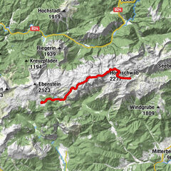
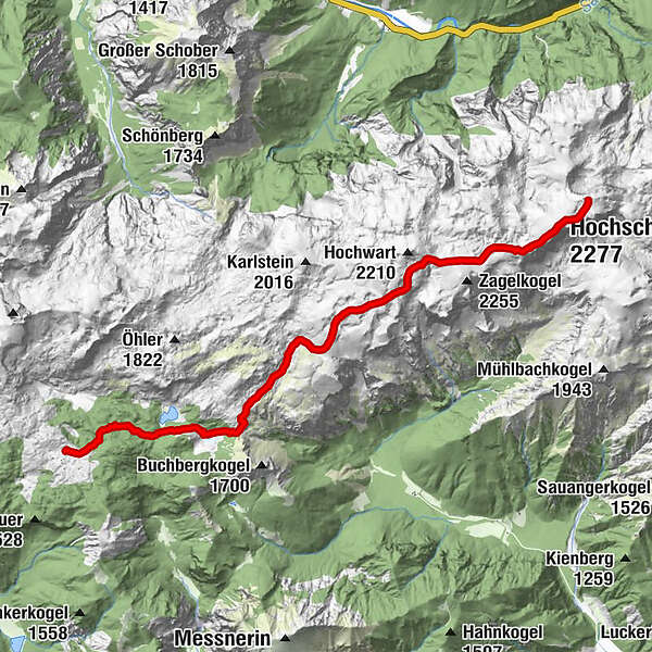
Stage 02: "In the Styrian Gamsgebirge" - from the Sonnschienalm over the Hochschwab summit to the Schiestlhaus
At a glance:
Start: Sonnschienalm, Tel.: +43 664 5112474 , www,sonnschienhütte.at
GPS grid N 47° 35' 11,7" E 15° 2' 21,0"
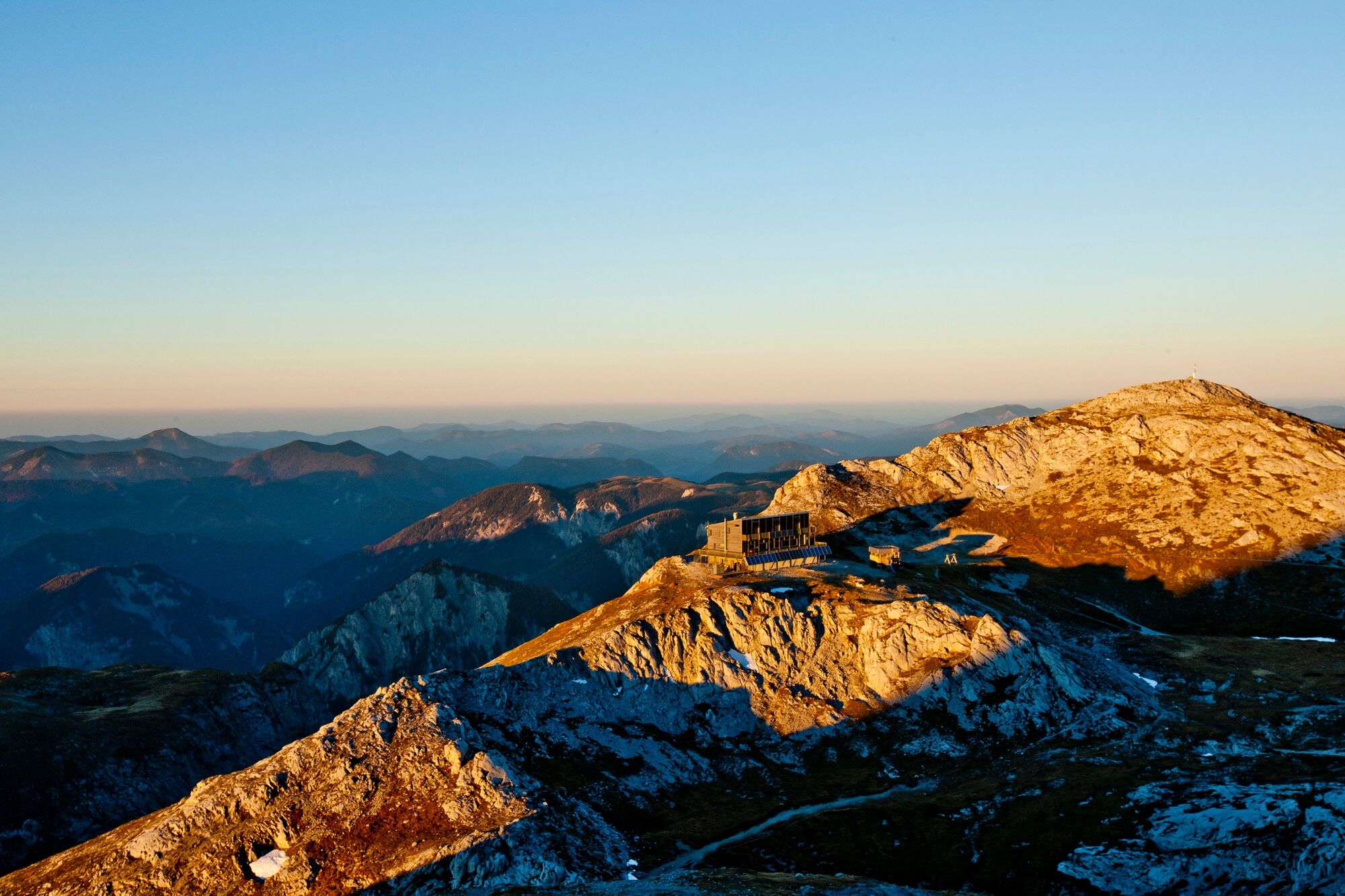
Destination / overnight stop: Schiestlhaus am Hochschwab, Tel: +43 699 108 121 99, www.schiestlhaus.at
GPS grid N 47° 37' 19,5" O 15° 8' 54,2"
Stage length: 11.3 kilometers
Total walking time (without breaks): 5 hours
Meters of ascent: 940 meters of ascent
Meters of altitude descent: 300 meters of altitude
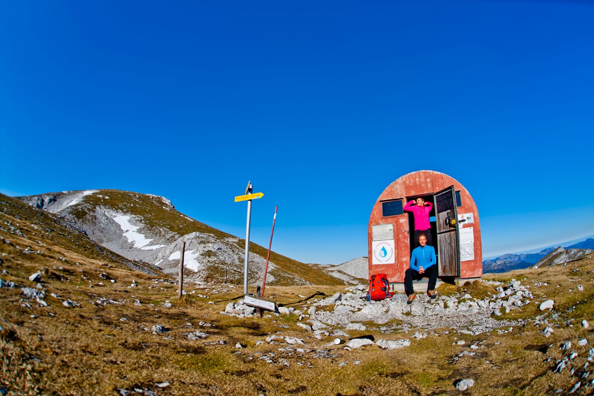
Difficulties: technically easy hike across the Hochschwab plateau, in bad weather / fog orientation not easy!
Get on - from Wildalpen over the Eisenerzer Höhe to the main trail
The second stage of the Hochsteirische BergZeitReise can also be easily reached from the beautiful Salzatal valley via the north side of the Hochschwab. For this we start in the idyllically situated village of Wildalpen (rafting center, hiking and ski touring area, www.wildalpen.at).
- Difficulté
-
difficile
- Évaluation
-
- Parcours
-
Sonnschienhütte0,0 kmSackwiesenalm (1.450 m)2,8 kmHäuslalm Hütte3,4 kmHochschwab (2.277 m)10,5 kmKleiner Hochschwab (2.248 m)10,9 km
- Meilleure saison
-
janv.févr.marsavrilmaijuinjuil.aoûtsept.oct.nov.déc.
- Hauteur maximale
- 2.267 m
- Point de mire
-
Schiestlhaus am Hochschwab bzw. Voisthalerhütte in der Dullwitz
- Profil en hauteur
-


- Auteur
-
La randonnée Etappe 02: BergZeitReise Sonnschienalm - Hochschwab - Schiestlhaus est utilisé par outdooractive.com fourni par.


Informations générales
-
Erzberg Leoben
2529
-
Hochschwab
1273
-
Tragöß - Grüner See
471