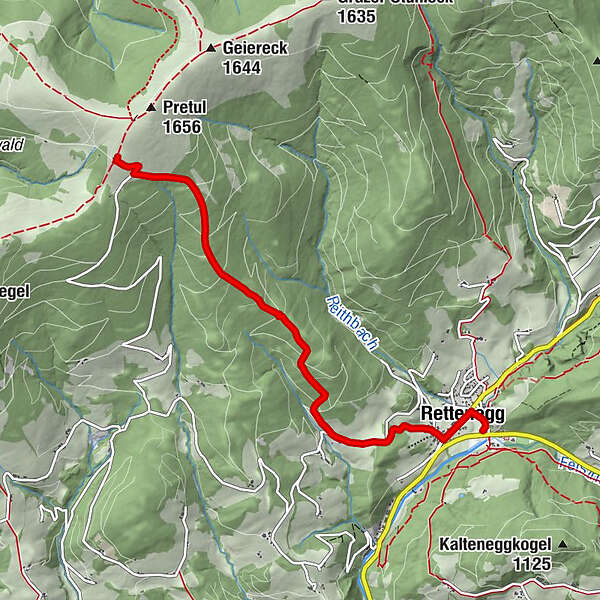
"alpannonia" - feeder road: Rettenegg - Pretul

Chemin de Grande Randonnée

© Oststeiermark Tourismus - Birgit Kandlbauer

© Gemeinde Rettenegg - TV Joglland Waldheimat

© Gemeinde Rettenegg - TV Joglland Waldheimat

© Gemeinde Rettenegg - TV Joglland Waldheimat
- Brève description
-
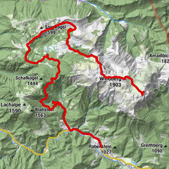
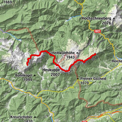
From the UNESCO World Heritage Site Semmering or from the high altitude health resort Fischbach to the edge of the Pannonian plain near Köszeg, a path full of variety and attractions of nature leads: alpannonia®.
You also become an "alpannonier" if you start the tour in one of the feeder communities, as for example in Rettenegg. Then you go up to the 1656 m high Pretul, where you can join the main trail.
- Difficulté
-
moyen
- Évaluation
-
- Parcours
-
Friesenbichler0,2 kmRettenegg0,3 kmPfarrkirche hl. Florian0,4 kmSimml0,6 kmRoseggerhaus5,3 km
- Meilleure saison
-
janv.févr.marsavrilmaijuinjuil.aoûtsept.oct.nov.déc.
- Hauteur maximale
- 1.582 m
- Point de mire
-
Rosegger House on the Pretul
- Profil en hauteur
-


- Auteur
-
La randonnée "alpannonia" - feeder road: Rettenegg - Pretul est utilisé par outdooractive.com fourni par.
GPS Downloads


Informations générales
Point de rassemblement
Prometteur
Autres parcours dans les régions
-
Hochsteiermark
4066
-
Joglland - Waldheimat
1506
-
Rettenegg
452