


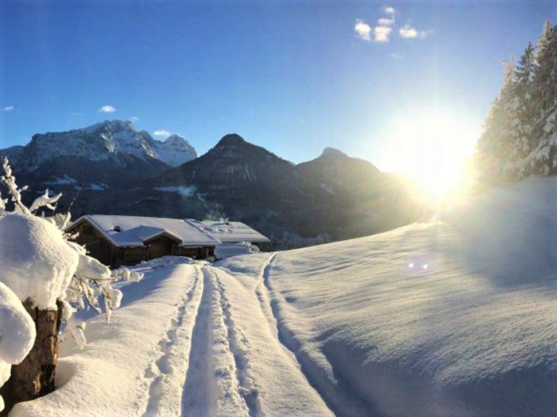
Winter hike to Gasthof Krepper
Niveau de difficulté: 2
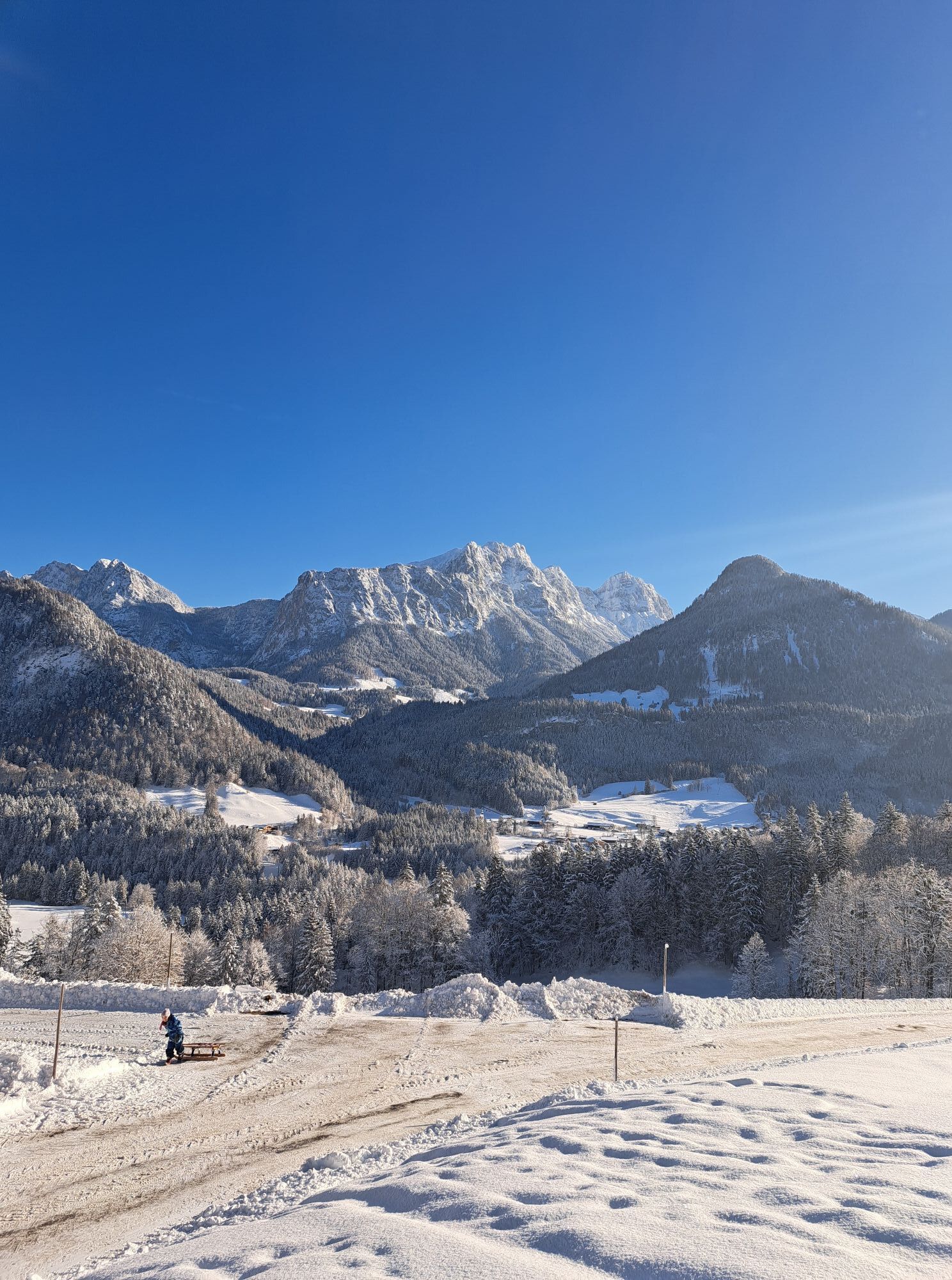
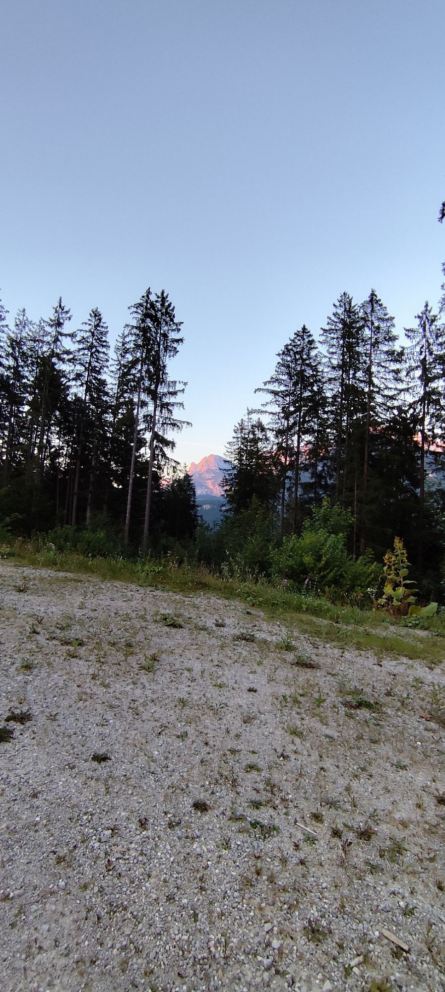
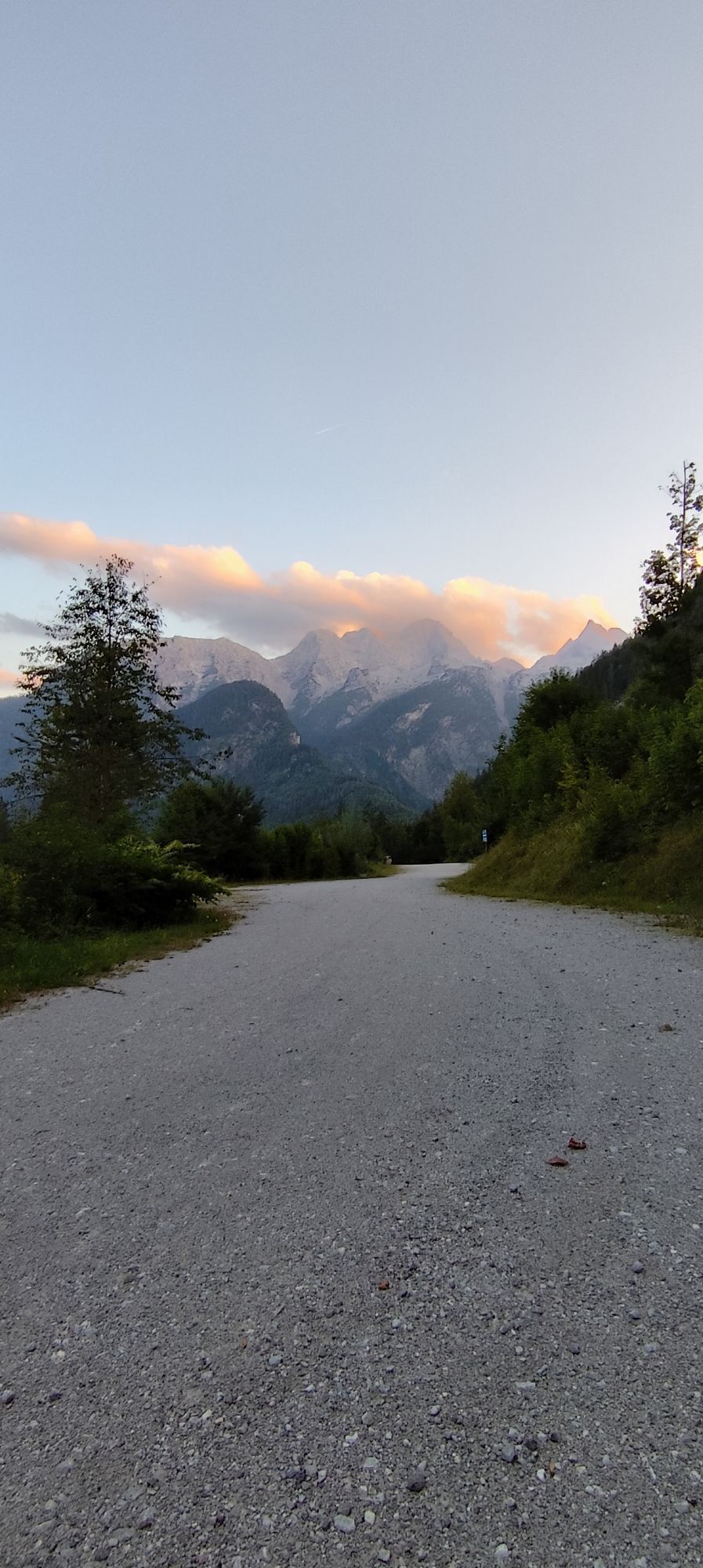
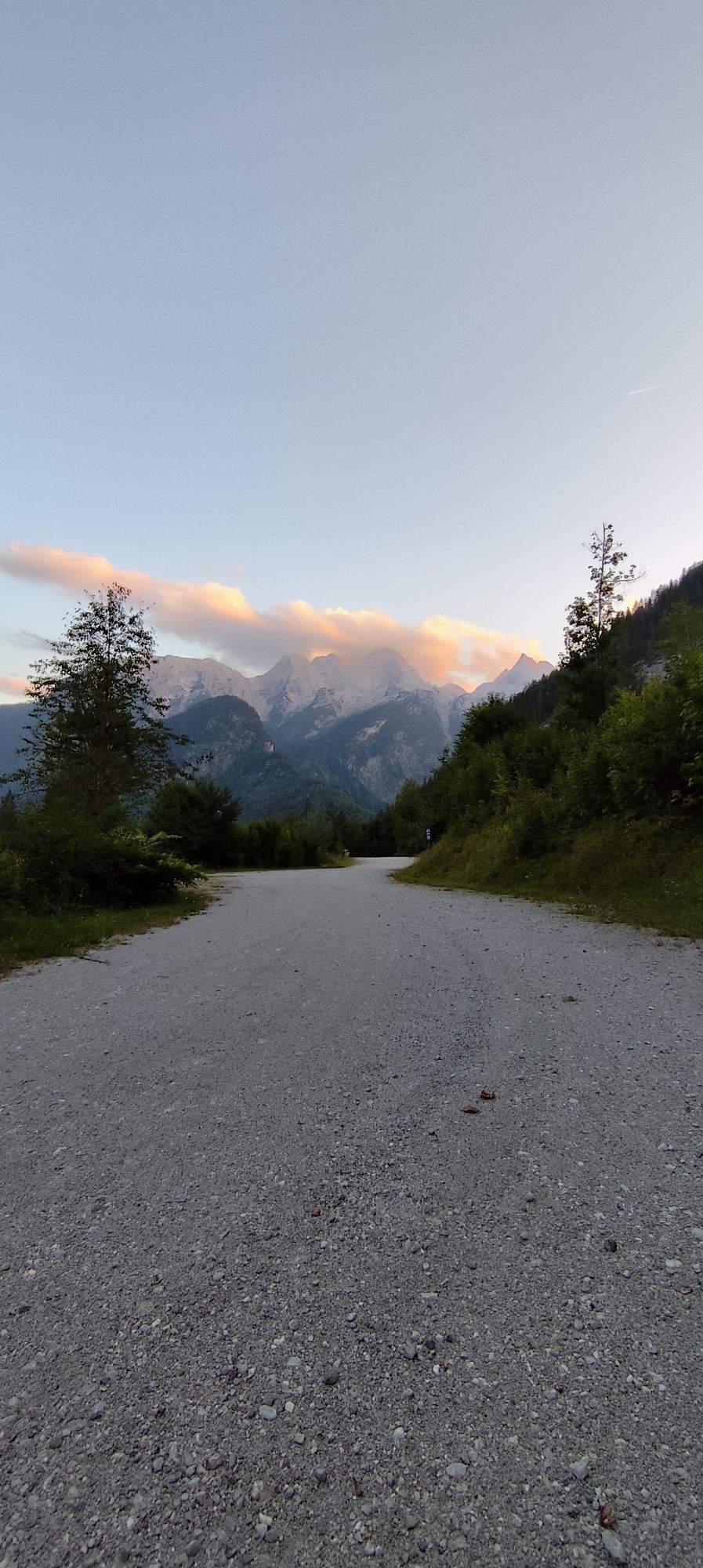
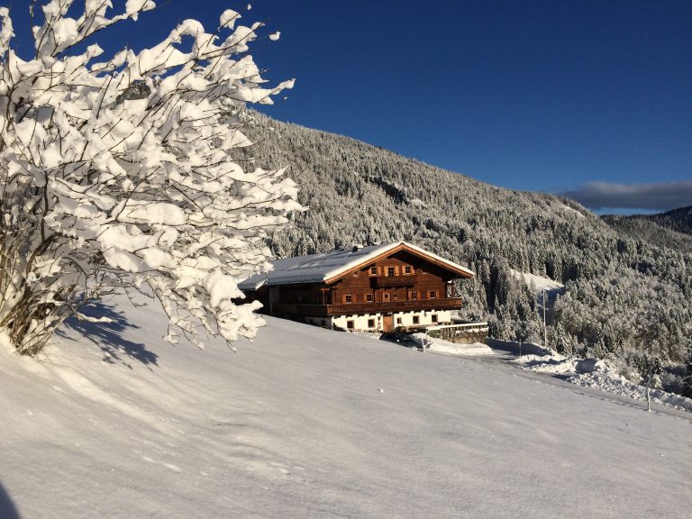
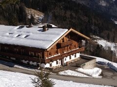
Along the Loferer Alm road, after a short ascent, we turn right and reach an easily accessible path that leads us to the Krepperbauer. There we stop for a bite to eat with the innkeepers. Depending on...
Along the Loferer Alm road, after a short ascent, we turn right and reach an easily accessible path that leads us to the Krepperbauer. There we stop for a bite to eat with the innkeepers. Depending on the snow conditions, a descent via Maurach is possible - otherwise we take the same way back. Pure walking time: 1.5-2.5 hours.


Along the Loferer Alm road, after a short ascent, we turn right and reach an easily accessible path that leads us to the Krepperbauer. There we stop for a bite to eat with the innkeepers. Depending on the snow conditions, a descent via Maurach is possible - otherwise we take the same way back. Pure walking time: 1.5-2.5 hours.
Oui
Oui
Oui
Footwear: Waterproof winter boots with good insulation and matching wool socks.
Equipment: rucksack, walking poles, cold protection for the face, first aid kit, heat packs, pocket knife or multitool, map and compass, mobile phone.
Food: Thermos flask with hot drinks, high-energy snacks and a packed lunch.
Coming from Kitzbühel & Zell am See, continue towards Salzburg at the roundabout in Lofer. After 200 metres you will find the large car park directly by the tourism information office building next to the main road.
Large & inexpensive car park directly at the tour start.
2
A stop at Gasthof Krepper (closed on Wednesdays) is recommended. The Kaiserschmarrn and other homemade delicacies are a particular delight.
Parcours populaires à proximité
- 4,2
Halsalm
Randonnée 6,43 km - 4,9
Ramsau/Hintersee-Runde
facileRandonnée 9,44 km - 4,8
Loferer Steinberge, zum Hinterhorn über die Schmid-Zabierow Hütte, 19.06.22
difficileRandonnée 14,0 km - 4,5
Rundweg vom Hintersee zur Halsalm
moyenRandonnée 9,53 km - 4,8
Atemberaubende Aussicht auf dem Dürrnbachhorn
moyenRandonnée 8,44 km - 4,7
Par le chemin des cascades dans l’Almenwelt Lofer
moyenRandonnée 3,29 km - 4,5
Seisenbergklamm
facileRandonnée 2,41 km - 4,6
CHIEMGAU: Hörndlwand (1684m), Gurnwandkopf (1691m)
facileRandonnée 12,6 km - 3,9
Hochkalter - Überschreitung
difficileVia ferrata 18,9 km - 3,3
De Heutal au Sonntagshorn dans la vallée Salzburger Saalachtal
moyenRandonnée 11,7 km

Randonnée et suivi


Ne manquez pas les offres et l'inspiration pour vos prochaines vacances
Votre adresse électronique a été ajouté à la liste de diffusion.