Winter hiking to the Deantnerin

Logo Winter hiking to the Deantnerin
Dates des itinéraires
2,15km
1.067 - 1.261m
Distance
190hm
Montée
01:00h
 
Durée
Brève description

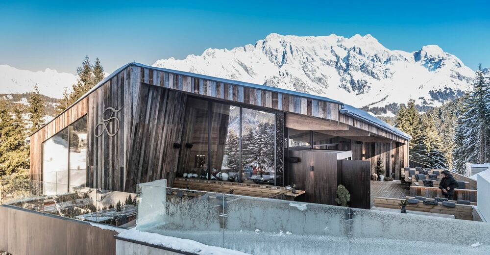
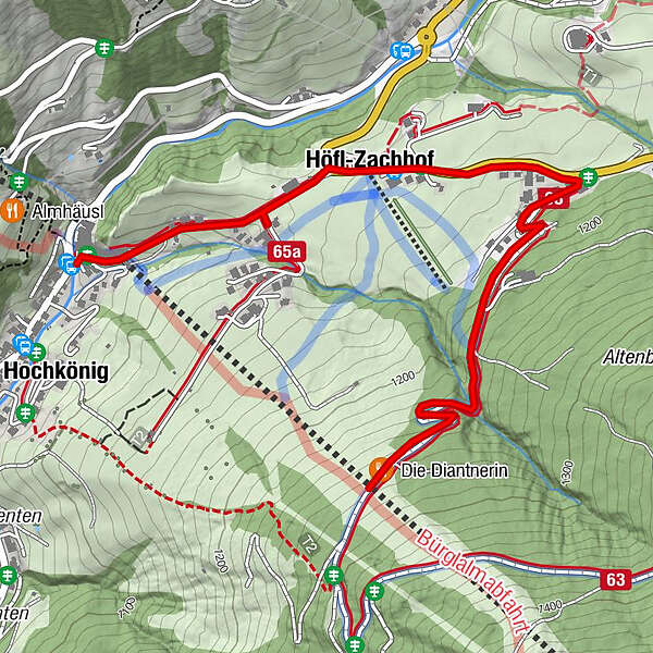
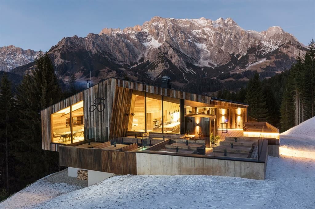
Short hike to the Deantnerin on the Bürglalm slope with direct view of the ski slope.

Difficulté
facile
Évaluation
Technique
Endurance
Paysage
Résultat
Parcours
Dienten am Hochkönig
Bürglalm
0,1 km
Höfl-Zachhof
0,7 km

Meilleure saison
août
sept.
oct.
nov.
déc.
janv.
févr.
mars
avril
mai
juin
juil.
Hauteur maximale
1.261 m
Point de mire

Die Deantnerin

Profil en hauteur

Auteur
La randonnée Winter hiking to the Deantnerin est utilisé par outdooractive.com fourni par.

Évaluation globale

5

0

%

4

0

%

3

0

%

2

0

%

1

0

%

Erreur
Une erreur est survenue. Veuillez réessayer.
Merci pour votre évaluation

L'évaluation a été supprimée

GPS Downloads
  • GPX GPS Exchange Format (XML)
  • KML Google Earth, Google Maps
Codes de téléchargement QR pour les téléphones portables

Informations générales

Point de rassemblement
Prometteur
Autres parcours dans les régions

Randonnées populaires dans la région

Winterwanderweg Wengerau in Werfenweng

facile Randonnée d'hiver
6,55km | 124hm | 02:00h

Winter hiking "Winter Wonderland Kopphütte"

facile Randonnée d'hiver
1,54km | 82hm | 00:50h

Winter hiking to Saalfelden

facile Randonnée d'hiver
5,55km | 27hm | 02:00h

Grossarl: Loosbühelalm

moyen Randonnée d'hiver
6,79km | 387hm | 02:30h