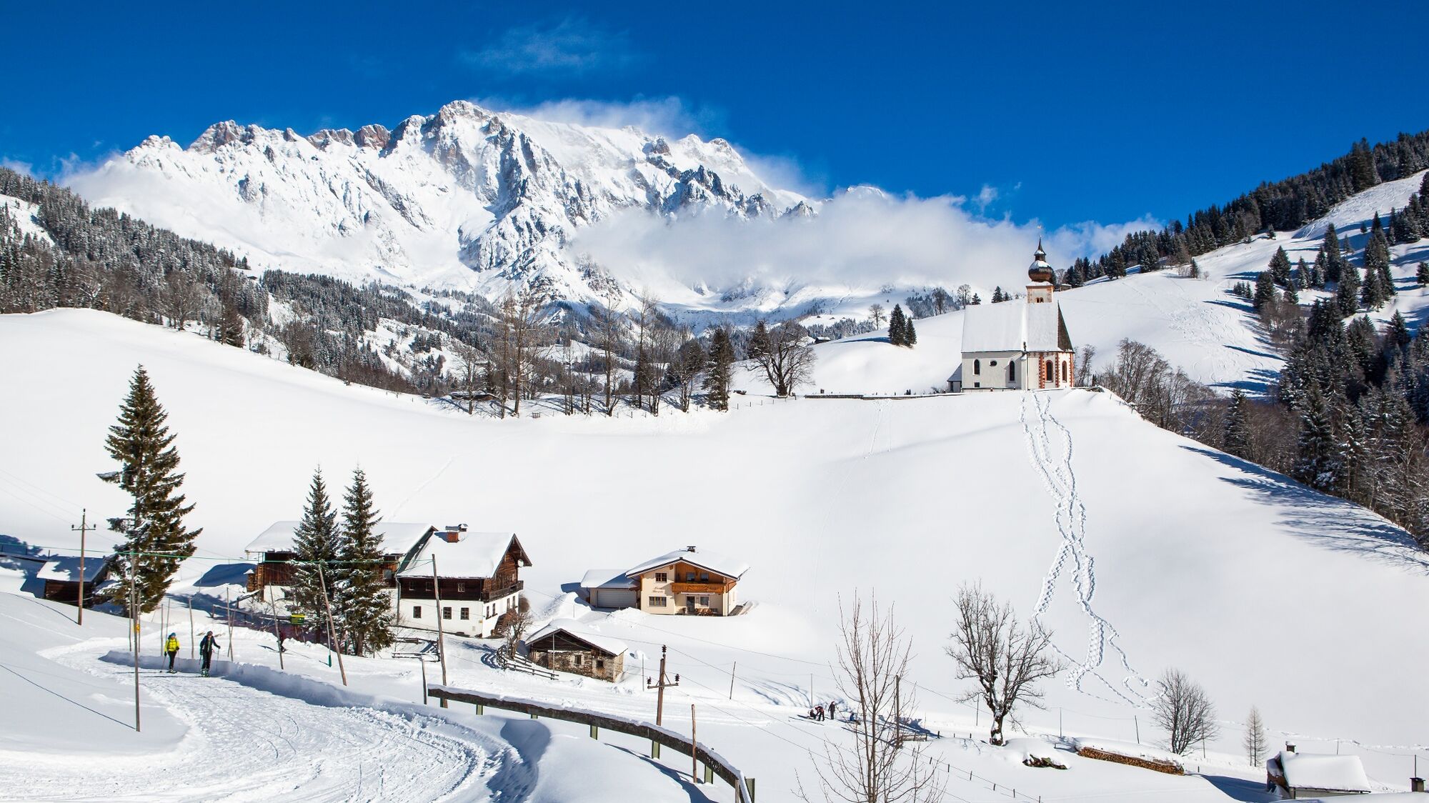
Winter hiking from Dienten to the Steinbockalm

Randonnée d'hiver


- Brève description
-
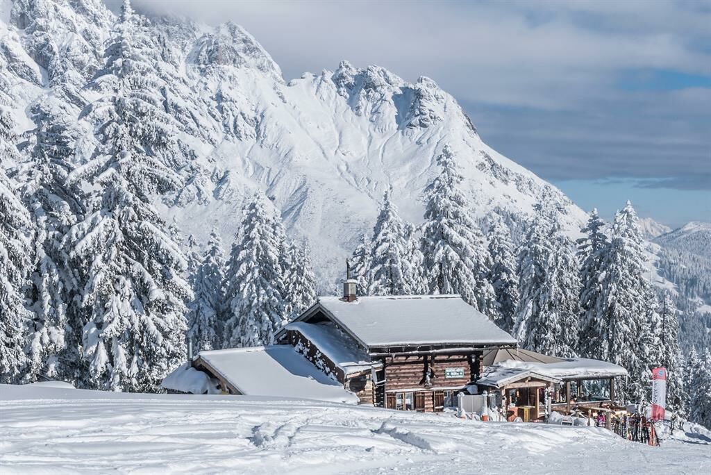
Fantastic winter hike to the Steinbockalm.
Enjoy the peace and quiet of nature and treat yourself to a culinary highlight at the Steinbockalm! - Difficulté
-
moyen
- Évaluation
-
- Parcours
-
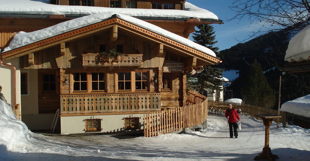
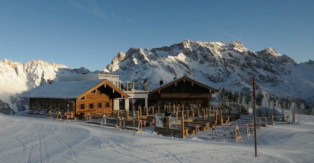
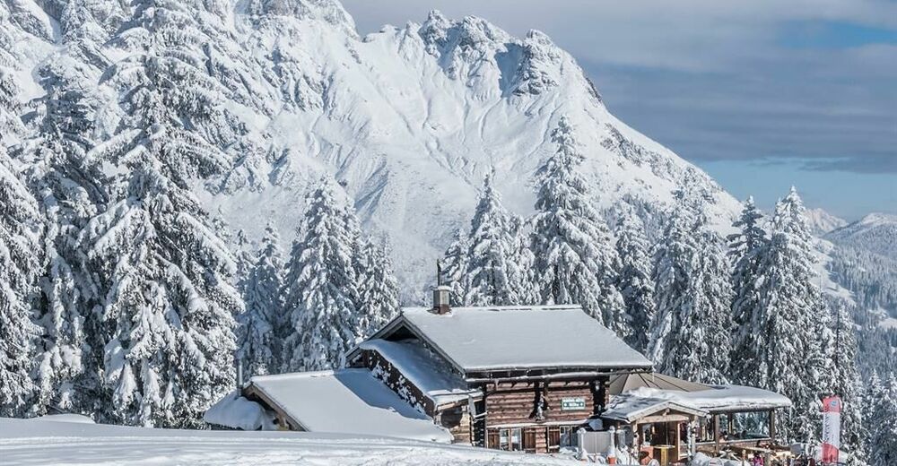
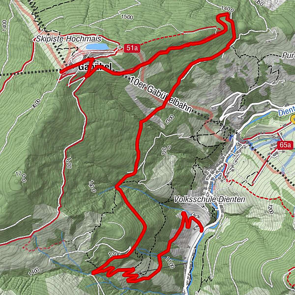
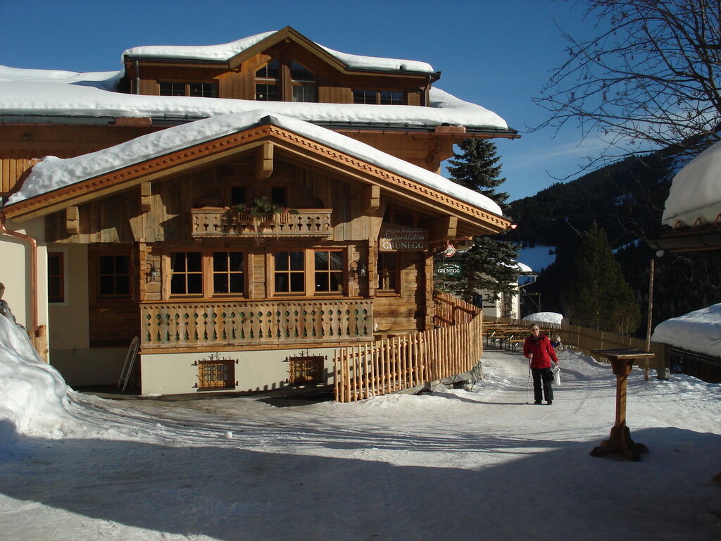
Dienten am Hochkönig0,1 kmGrünegg Alm1,3 kmSINALCObahn7,2 kmSteinbockalm7,2 kmGabühel (1.632 m)7,2 kmHochmais7,3 km
- Meilleure saison
-
aoûtsept.oct.nov.déc.janv.févr.marsavrilmaijuinjuil.
- Hauteur maximale
- 1.628 m
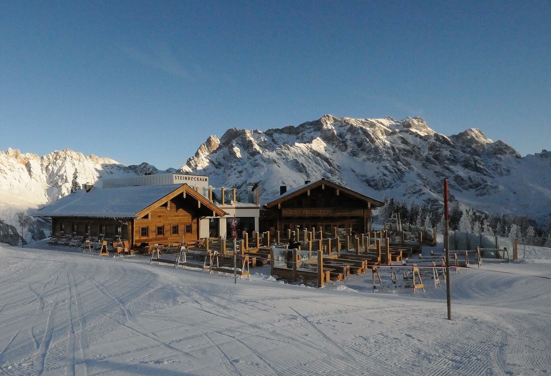
- Point de mire
-
Gabühelhütte/ Steinbockalm
- Profil en hauteur
-


- Auteur
-
La randonnée Winter hiking from Dienten to the Steinbockalm est utilisé par outdooractive.com fourni par.
GPS Downloads


Informations générales
Point de rassemblement
Prometteur
Autres parcours dans les régions
-
Hochkönig
143
-
Dienten am Hochkönig
50


