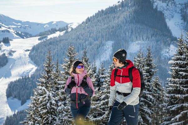
© Zell am See-Kaprun Tourismus GmbH - Dominik Wartbichler

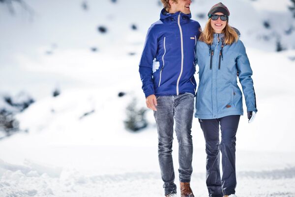
© Zell am See-Kaprun Tourismus GmbH - Dominik Wartbichler

© Zell am See-Kaprun Tourismus GmbH - Dominik Wartbichler

© Zell am See-Kaprun Tourismus GmbH - Dominik Wartbichler

- Brève description
-
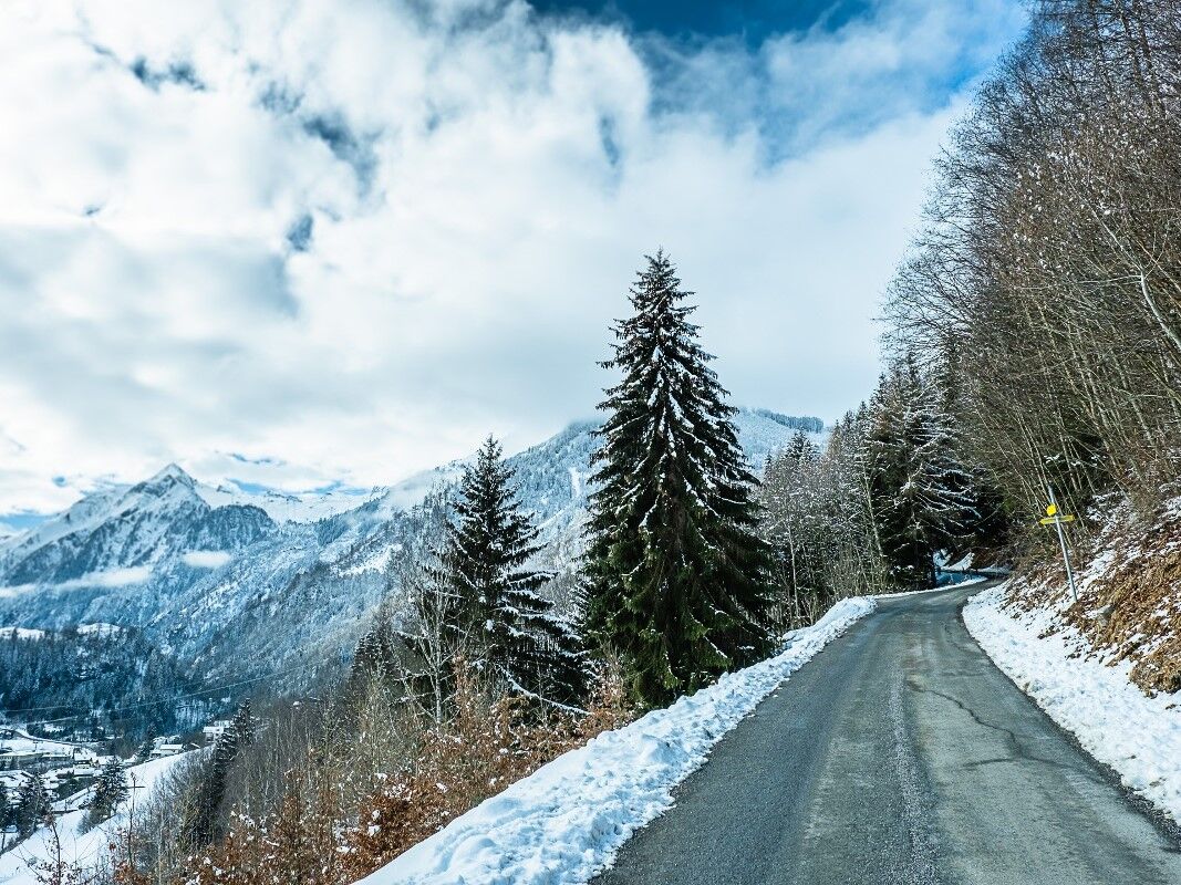
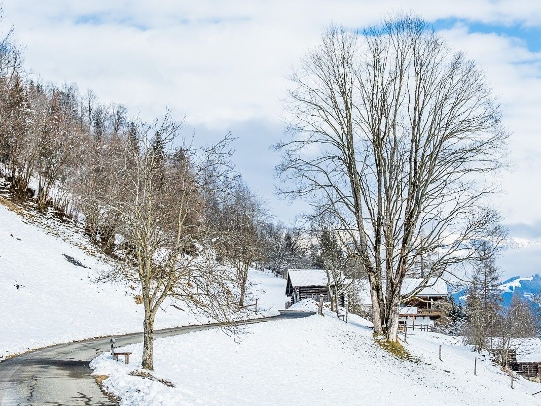
Small paved round with a view
- Difficulté
-
moyen
- Évaluation
-
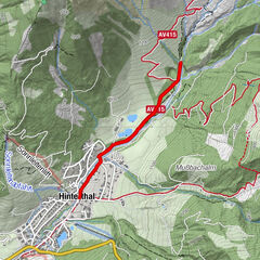
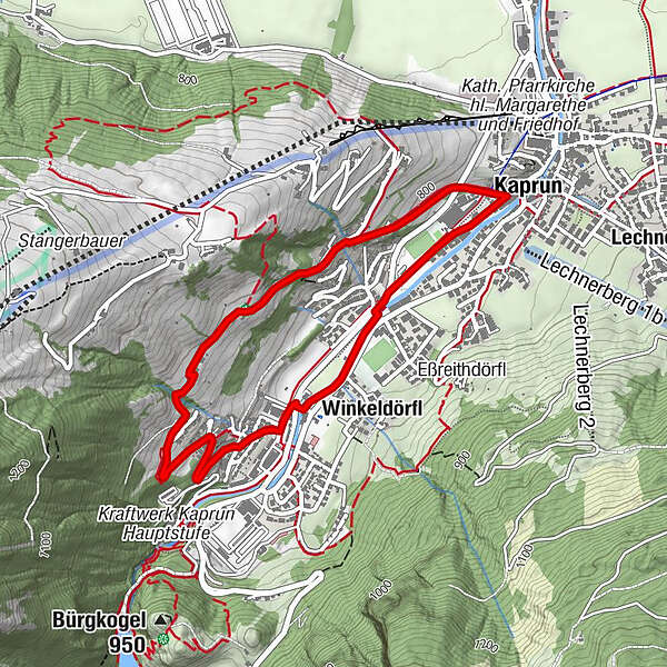
- Parcours
-
KaprunOrt1,1 kmWerkssiedlung2,4 kmZur Muhle3,0 kmWinkeldörfl3,2 kmKaprun4,2 km
- Meilleure saison
-
aoûtsept.oct.nov.déc.janv.févr.marsavrilmaijuinjuil.
- Hauteur maximale
- 891 m
- Point de mire
-
Kaprun south
- Profil en hauteur
-


-

-
AuteurLa randonnée Großentalpath est utilisé par outdooractive.com fourni par.
GPS Downloads


Informations générales
Prometteur
Autres parcours dans les régions