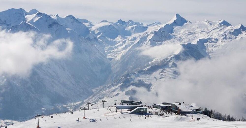
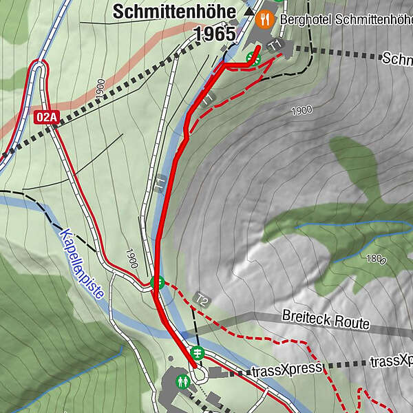
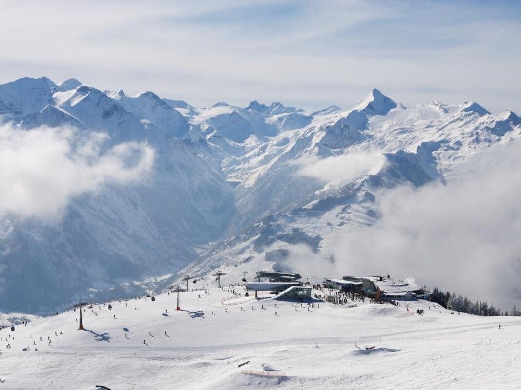
Winter walking path from the top station Areit III to the Schmittenhöhe

Randonnée d'hiver
© Schmittenhöhe

- Difficulté
-
facile
- Évaluation
-
- Parcours
-
panorama Restaurant am BergElisabeth-Kapelle0,5 kmSchmittenhöhe (1.965 m)0,6 kmBerghotel Schmittenhöhe0,6 km
- Meilleure saison
-
aoûtsept.oct.nov.déc.janv.févr.marsavrilmaijuinjuil.
- Hauteur maximale
- 1.946 m
- Point de mire
-
Schmittenhöhe
- Profil en hauteur
-

-

-
AuteurLa randonnée Winter walking path from the top station Areit III to the Schmittenhöhe est utilisé par outdooractive.com fourni par.
GPS Downloads


Informations générales
Point de rassemblement
Prometteur
Autres parcours dans les régions


