Dates des itinéraires
12,87km
575
- 1.744m
1.167hm
1.169hm
03:40h

- Brève description
-
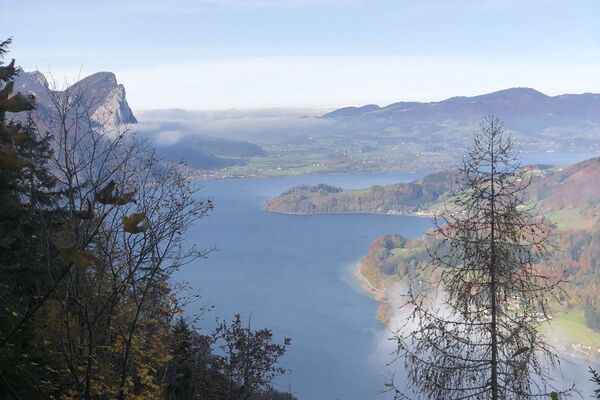
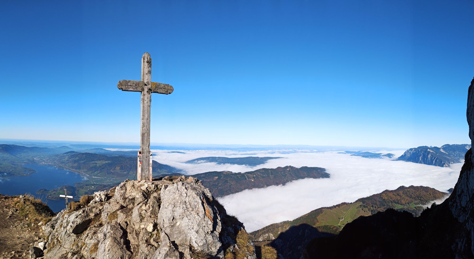
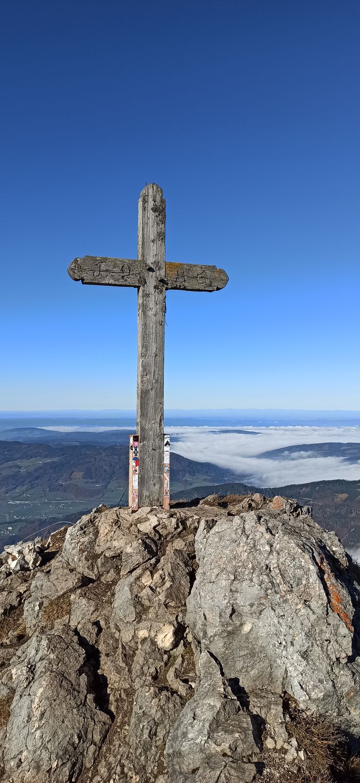
Traumhafte Wanderung mit perfektem Ausblick
- Difficulté
-
moyen
- Évaluation
-
- Parcours
-
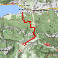
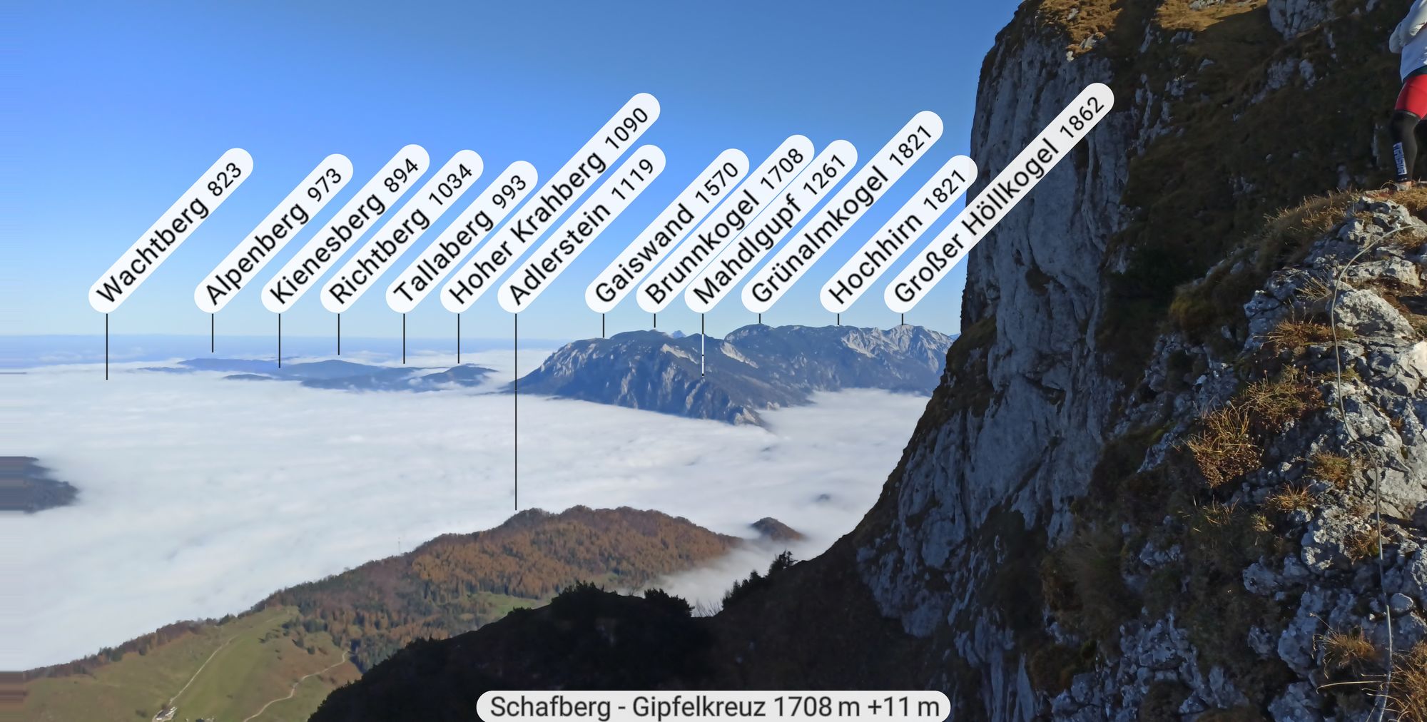
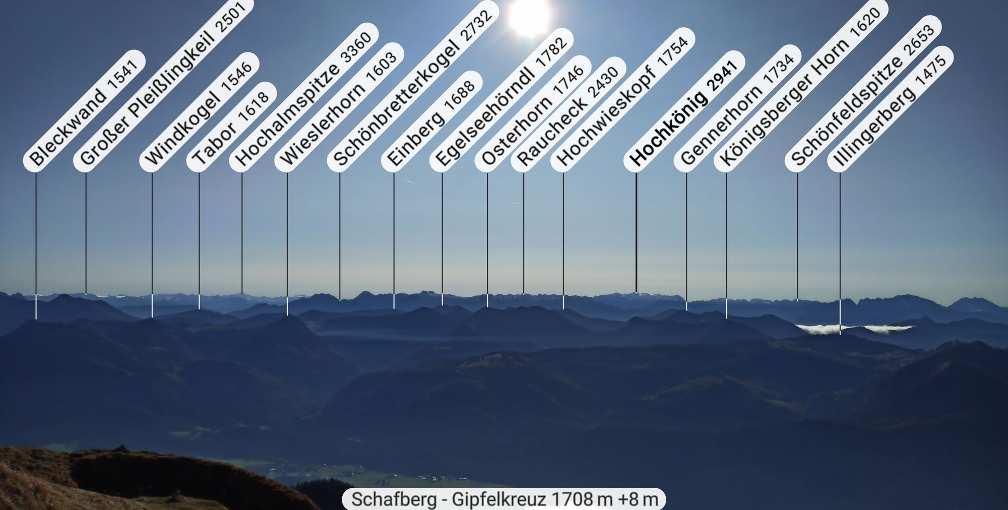
WinklAich0,1 kmPucha0,4 kmGasthof Schafberg Alpe4,4 kmSchafbergalm (1.363 m)4,4 kmSchafbergspitze (1.732 m)5,9 kmSchafberg (1.783 m)6,0 kmHimmelspfortenhütte6,0 kmHimmelspforte (1.736 m)6,1 kmSchafbergalm (1.363 m)8,1 kmGasthof Schafberg Alpe8,1 kmPucha12,3 kmAich12,7 kmWinkl12,8 km
- Meilleure saison
-
janv.févr.marsavrilmaijuinjuil.aoûtsept.oct.nov.déc.
- Hauteur maximale
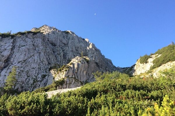
- 1.744 m
- Repos/Rassembler
-
Himmelspforthütte bzw. Schafberghütte


GPS Downloads


Nature du chemin
Asphalte
Gravier
(5)
Pelouse
(50)
Forêt
(45)
Rocher
Exposé
Autres parcours dans les régions