

© Salzburger Saalachtal Tourismus - mine and me

© Salzburger Saalachtal Tourismus - Reini Schellevis

© Salzburger Saalachtal Tourismus - Reini Schellevis
© Salzburger Saalachtal Tourismus - Salzburger Saalachtal
© Enrico Ackermann - Andrea Posch
- Brève description
-
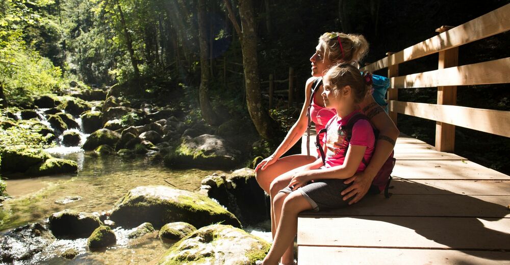
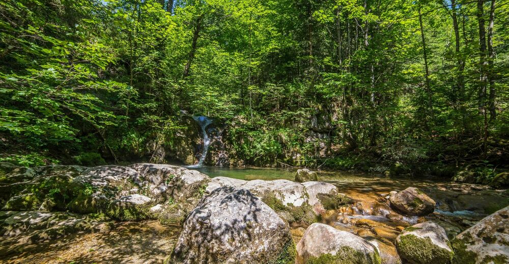
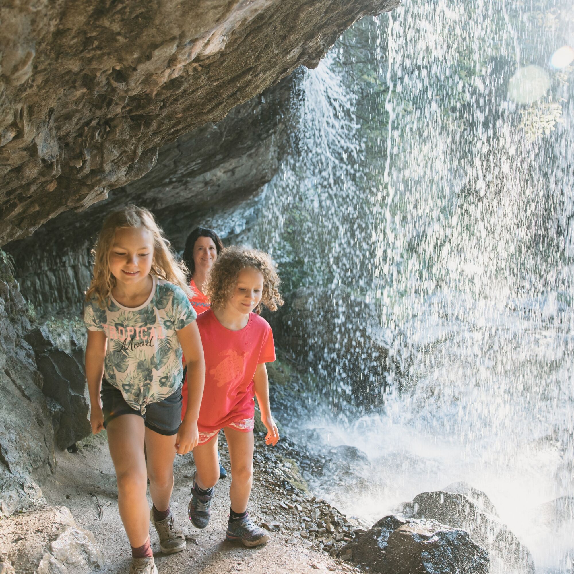
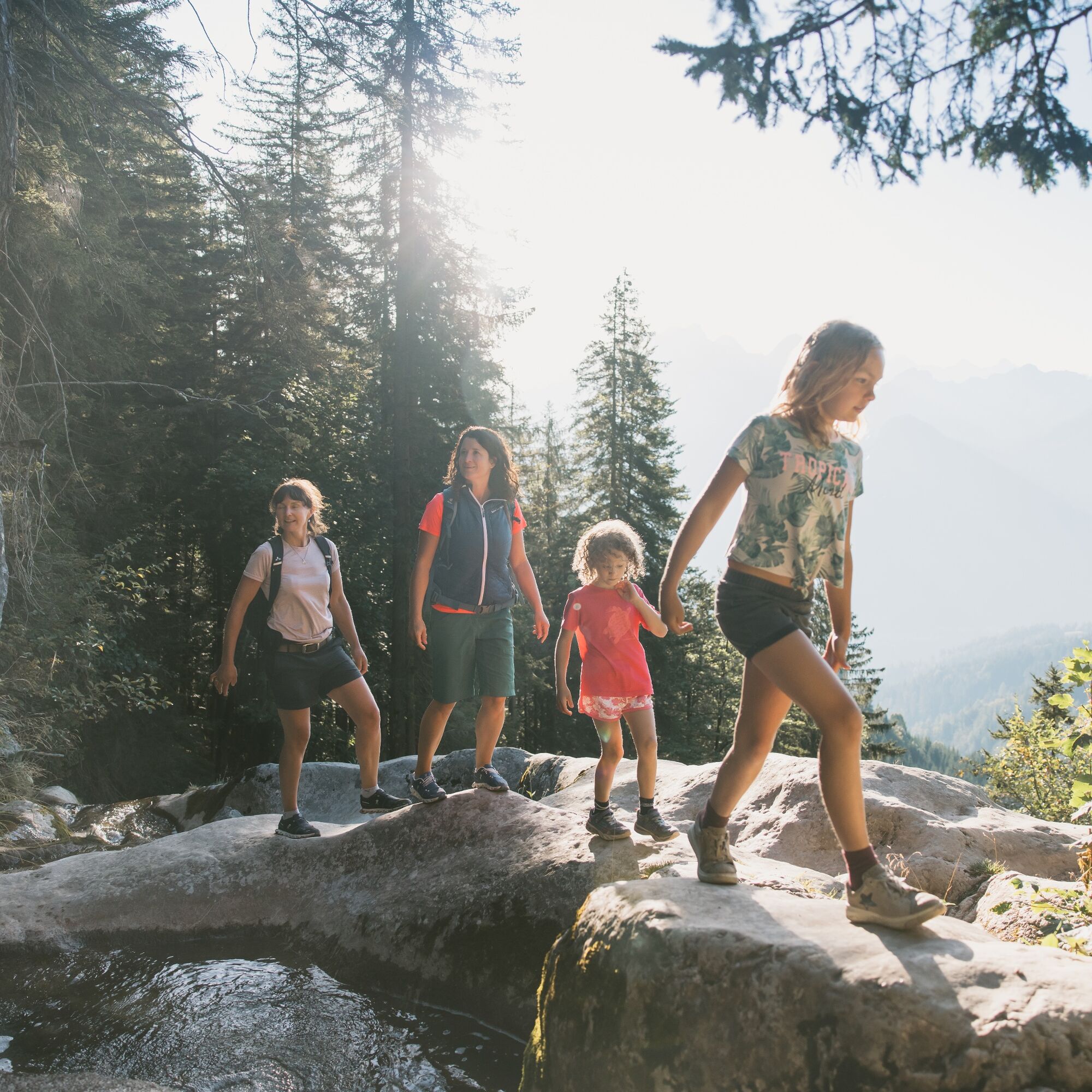
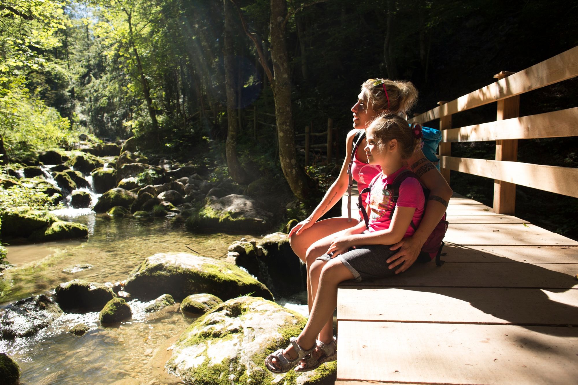
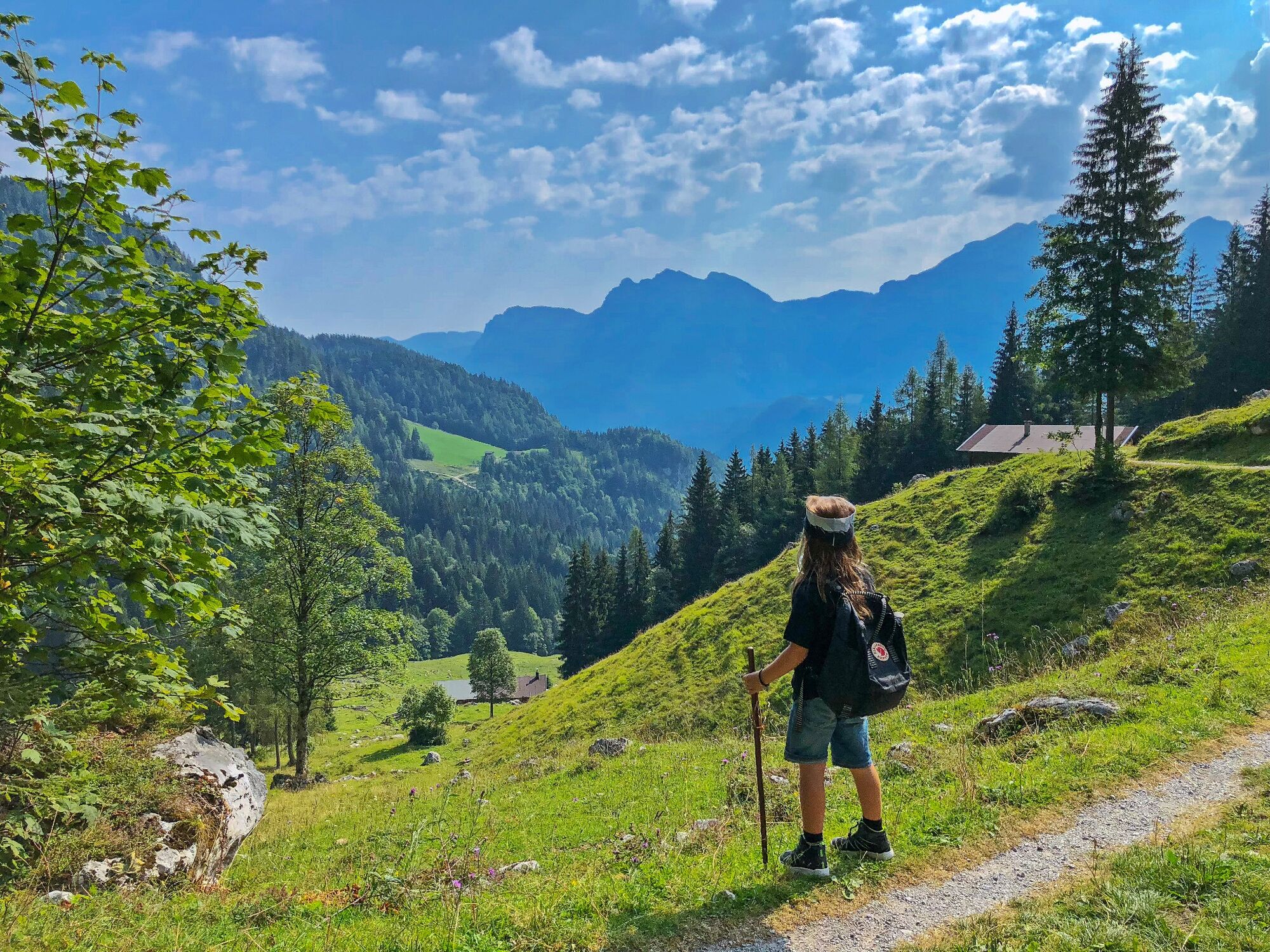
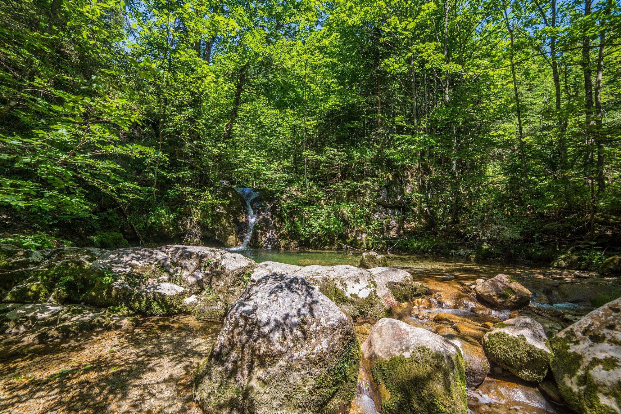
A varied hike along the adventure trail up to the Loferer Alm.
- Difficulté
-
moyen
- Évaluation
-
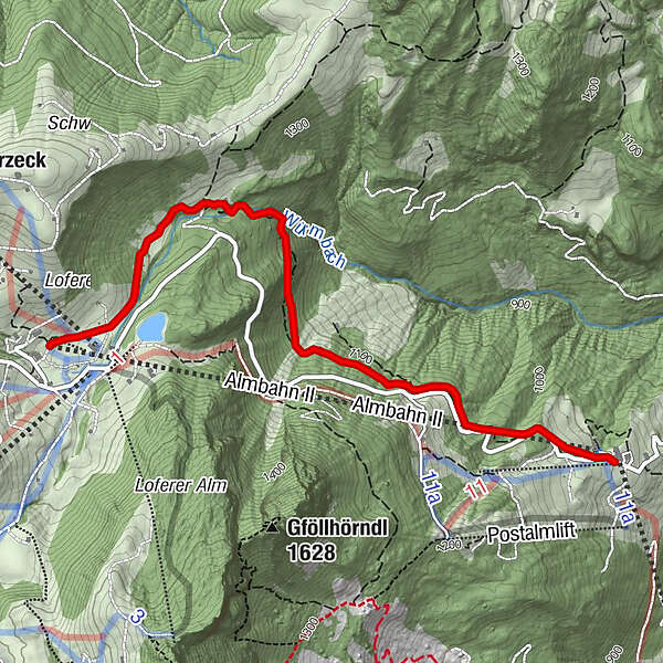
- Parcours
-
Bimalm2,3 kmAlmbahn II (1.350 m)3,3 km
- Meilleure saison
-
janv.févr.marsavrilmaijuinjuil.aoûtsept.oct.nov.déc.
- Hauteur maximale
- 1.371 m
- Point de mire
-
Mountain station Almbahn II (Soderkaser)
- Profil en hauteur
-

-

-
AuteurLa randonnée Along the Waterfall Trail to the Almenwelt Lofer est utilisé par outdooractive.com fourni par.
GPS Downloads


Informations générales
Point de rassemblement
Flore
Prometteur
Autres parcours dans les régions


