© Salzburger Saalachtal Tourismus - Wolfgang Fegg

© Salzburger Saalachtal Tourismus - Maximilian Nikelski


- Brève description
-
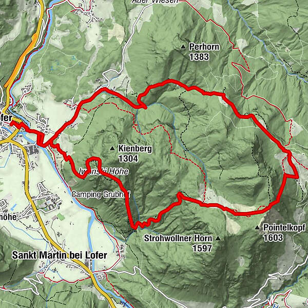
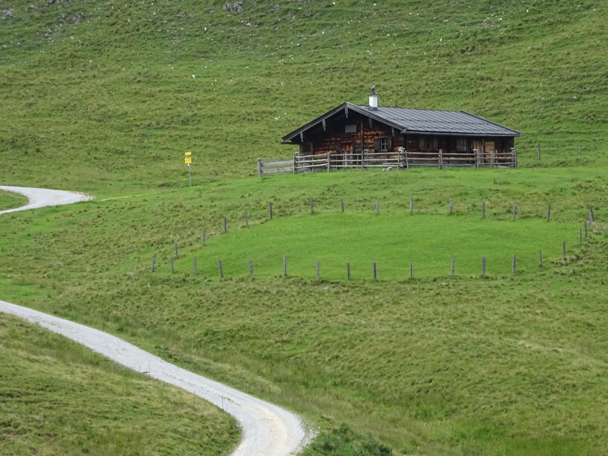
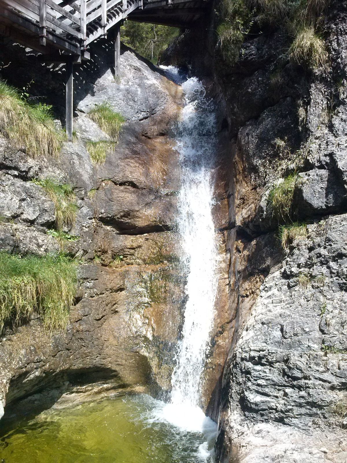
A wonderful circular hike in the Salzburger Saalachtal Valley, where you can collect lots of points for the Bronze Hiking Badge.
- Difficulté
-
moyen
- Évaluation
-
- Parcours
-
LoferScheffsnoth1,3 kmZass2,3 kmHundsalm7,1 kmLofer15,5 km
- Meilleure saison
-
janv.févr.marsavrilmaijuinjuil.aoûtsept.oct.nov.déc.
- Hauteur maximale
- 1.522 m
- Point de mire
-
Lofer
- Profil en hauteur
-


-

-
AuteurLa randonnée On the trail of the Bronze Hiking Pin est utilisé par outdooractive.com fourni par.
GPS Downloads


Informations générales
Secret
Autres parcours dans les régions