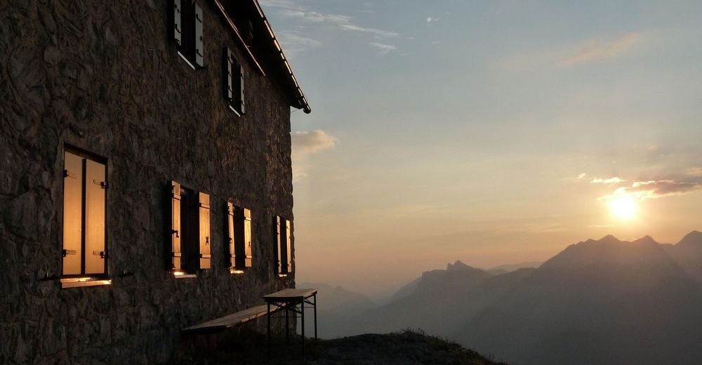
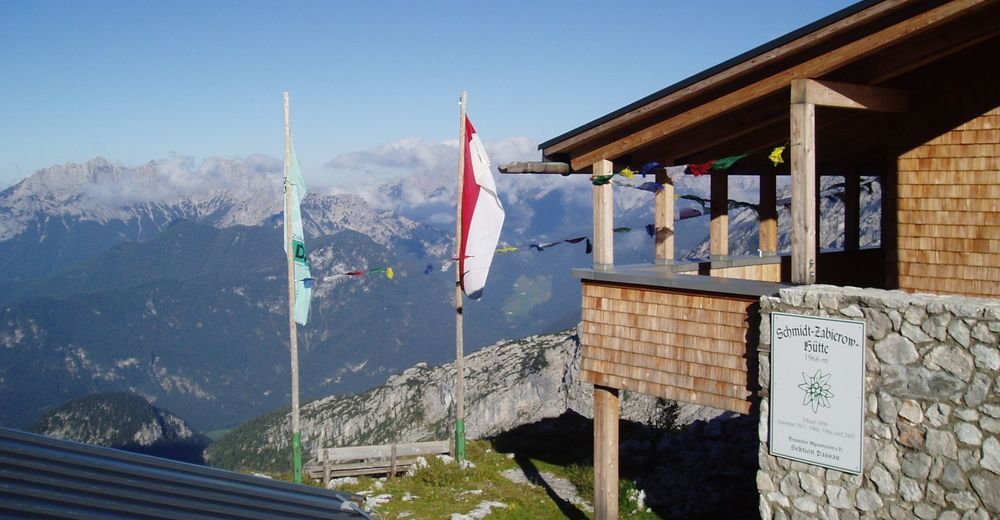
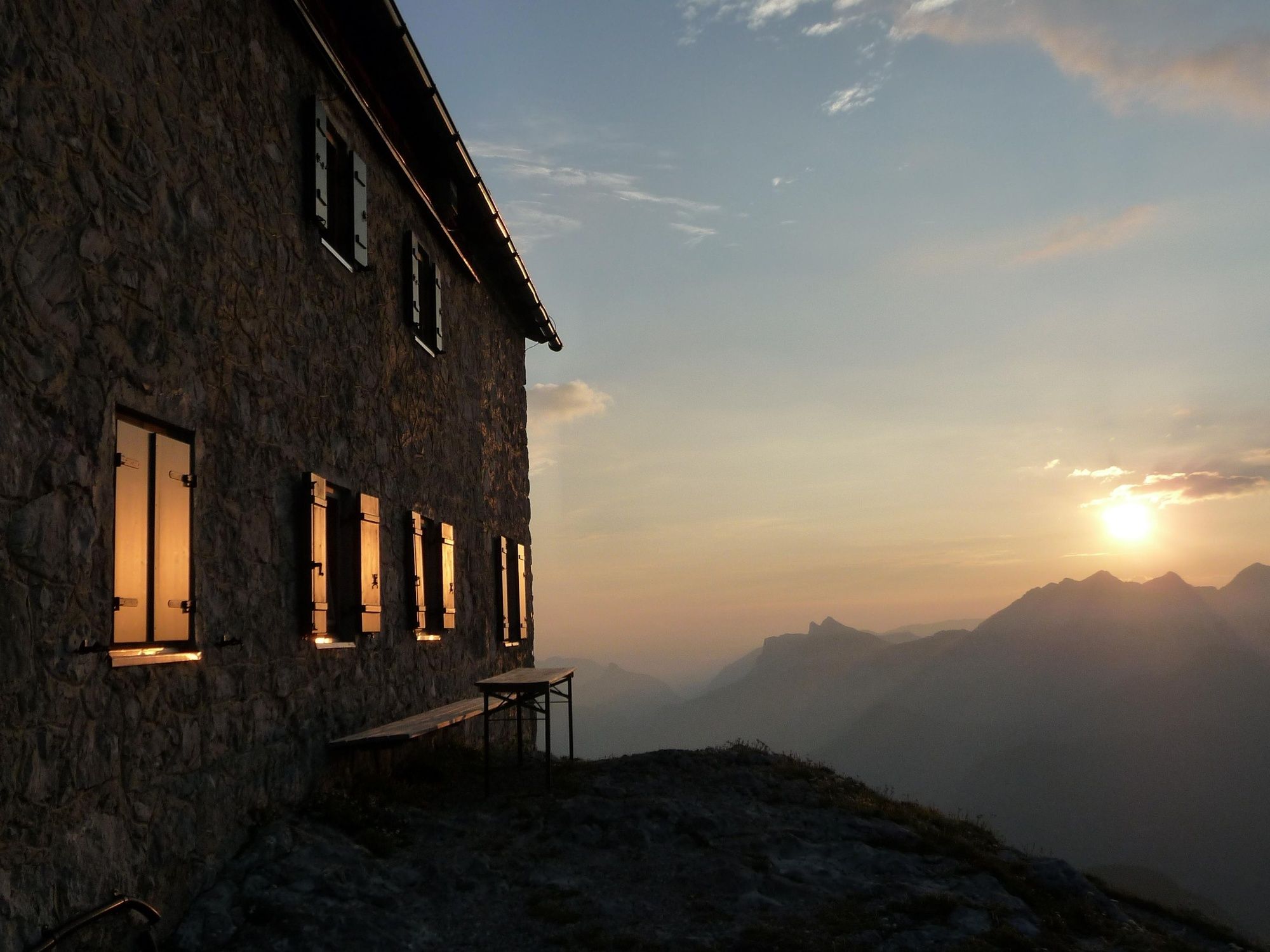
Hike from the Loferer Hochtal to the Schmidt-Zabierow-Hütte (1966m)

Randonnée
© Salzburger Saalachtal Tourismus - Andrea Posch
© Salzburger Saalachtal Tourismus - Maximilian Nikelski
© Salzburger Saalachtal Tourismus - Andrea Posch
© Salzburger Saalachtal Tourismus - Andrea Posch
- Brève description
-
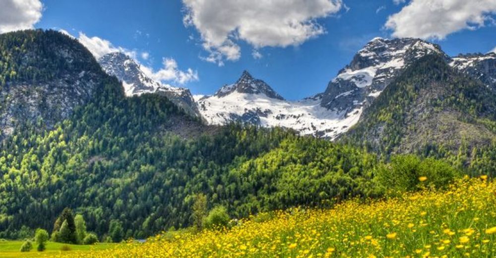
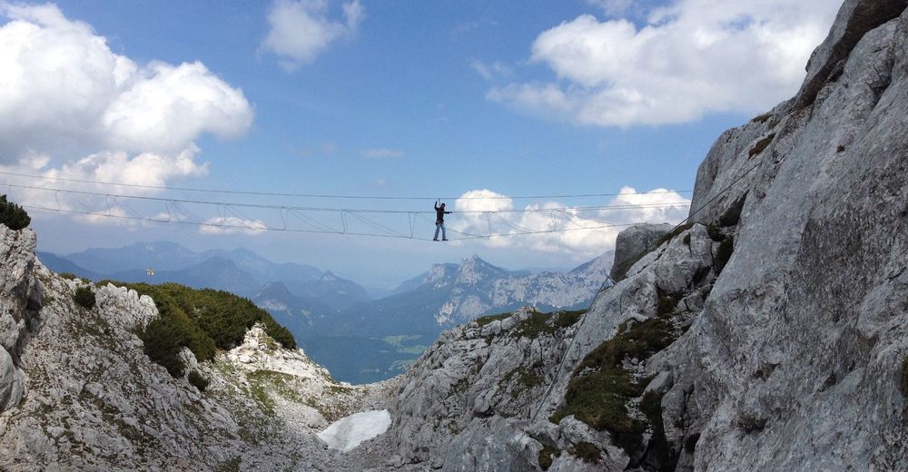
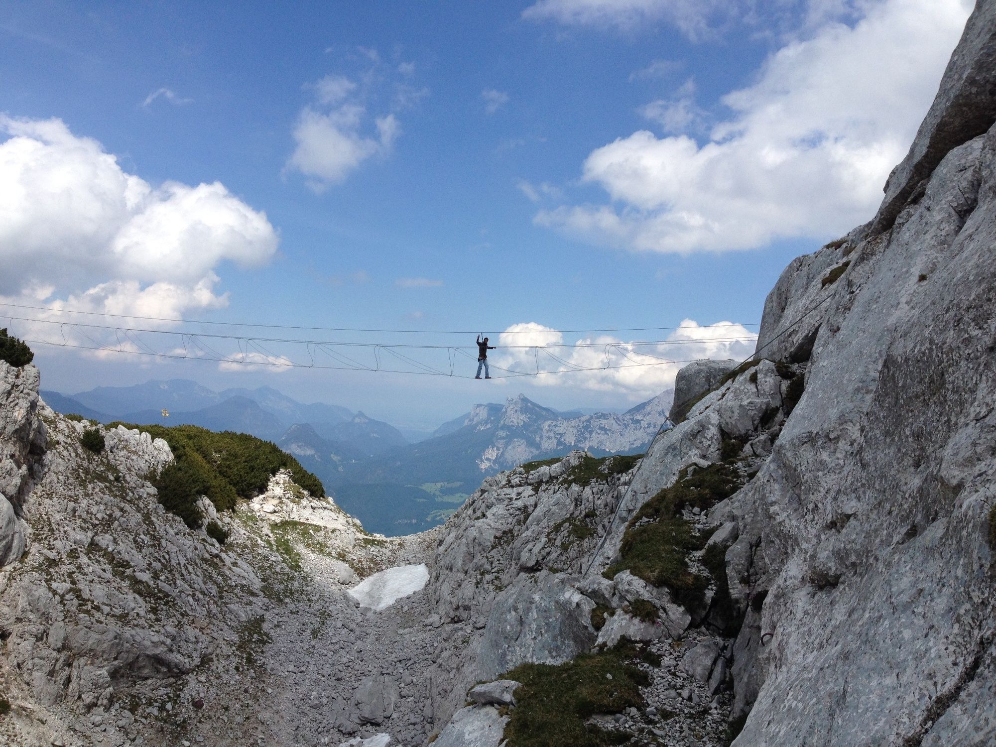
A scenic and challenging hike from Lofer in Salzburger Saalachtal Valley to the Schmidt-Zabierow Hut in the Loferer Steinberge mountains.
- Difficulté
-
moyen
- Évaluation
-
- Parcours
-
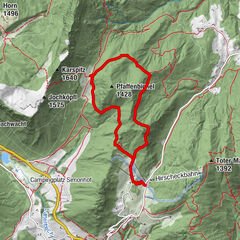
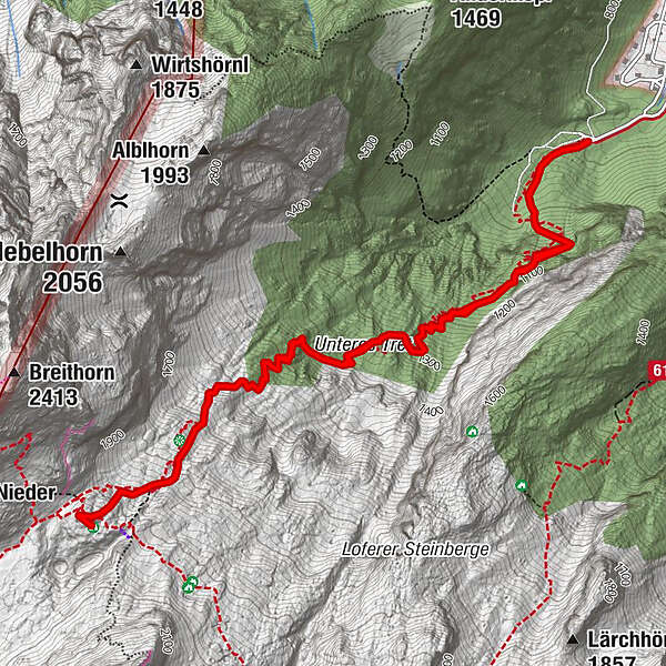
Erstes Wasser1,0 kmZweites Wasser1,9 kmKapplhöhle2,9 kmSchmidt-Zabierow Hütte3,7 kmNamenloses Loch3,8 kmWalter-Schweitzer-Biwak3,9 kmZweites Wasser5,7 kmErstes Wasser6,5 km
- Meilleure saison
-
janv.févr.marsavrilmaijuinjuil.aoûtsept.oct.nov.déc.
- Hauteur maximale
- 1.952 m
- Point de mire
-
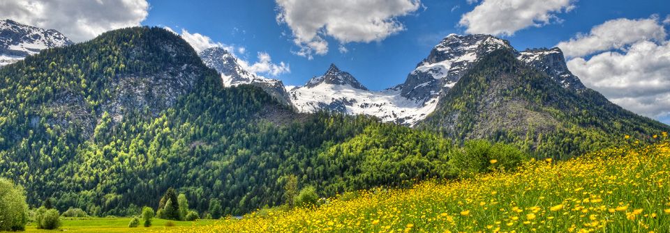
Loferer Hochtal
- Profil en hauteur
-


-

-
AuteurLa randonnée Hike from the Loferer Hochtal to the Schmidt-Zabierow-Hütte (1966m) est utilisé par outdooractive.com fourni par.
GPS Downloads


Informations générales
Point de rassemblement
Culturel/Historiquement
Prometteur
Autres parcours dans les régions