


- Brève description
-
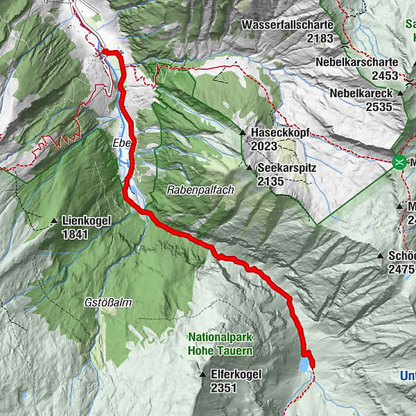
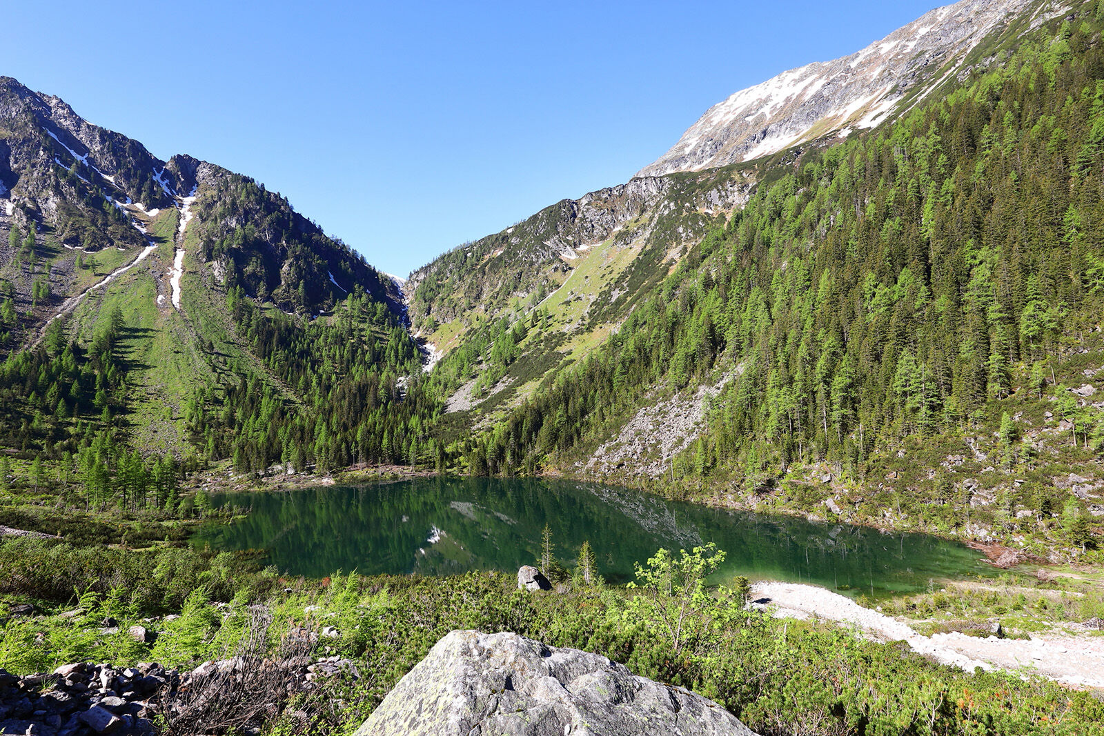
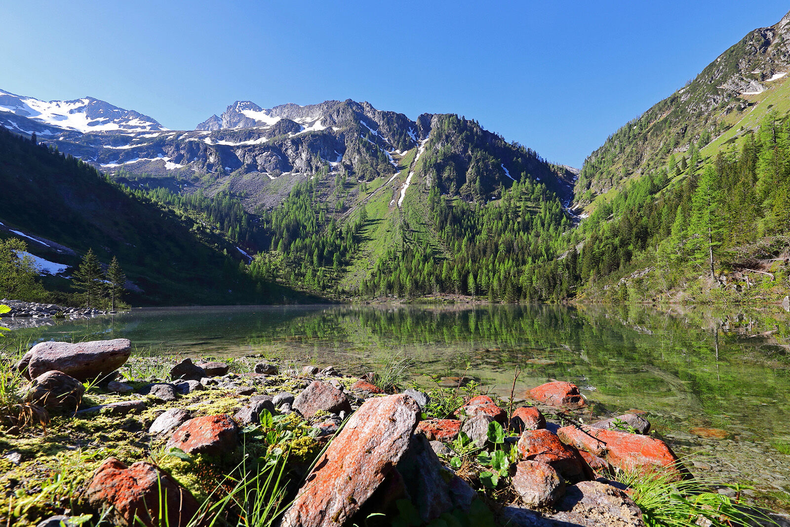
Hiking tour to the Schödersee, which is a periodical mountain lake.
- Difficulté
-
moyen
- Évaluation
-
- Meilleure saison
-
janv.févr.marsavrilmaijuinjuil.aoûtsept.oct.nov.déc.
- Hauteur maximale
- 1.440 m
- Point de mire
-
Schödersee
- Profil en hauteur
-

- Auteur
-
La randonnée Hüttschlag: Schödersee est utilisé par outdooractive.com fourni par.
GPS Downloads


Informations générales
Point de rassemblement
Secret
Flore
Autres parcours dans les régions
-
Katschberg Lieser-Maltatal
2572
-
Großarltal
2169
-
Hüttschlag
850


