Stage 04 From Glacier to Wine South Route Ignaz Mattis Hütte - Keinprechthütte

Randonnée

© Steiermark Tourismus/Tom Lamm - Tom Lamm

© Steiermark - Das Grüne Herz

© Tourismusverband Schladming - Gerhard Pilz - Gerhard Pilz

© Herbert Raffalt

© Erlebnisregion Schladming-Dachstein - Herbert Raffalt

© Steiermark Tourismus/Martina Traisch - Martina Traisch

© Gerhard Pilz - www.gpic.at - Gerhard Pilz

© Steiermark Tourismus/Martina Traisch - Martina Traisch

© Steiermark Tourismus/photo-austria.at - photo-austria.at

© Keinprechthütte - Kreativwerk

- Brève description
-
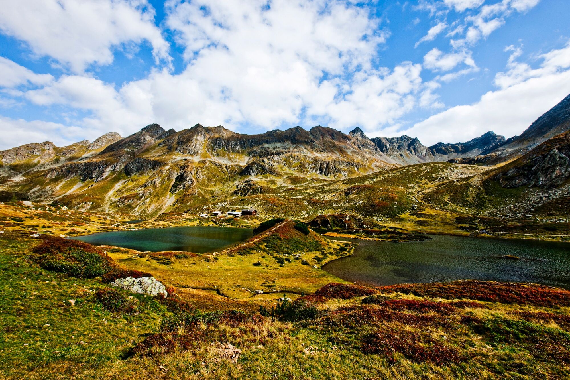
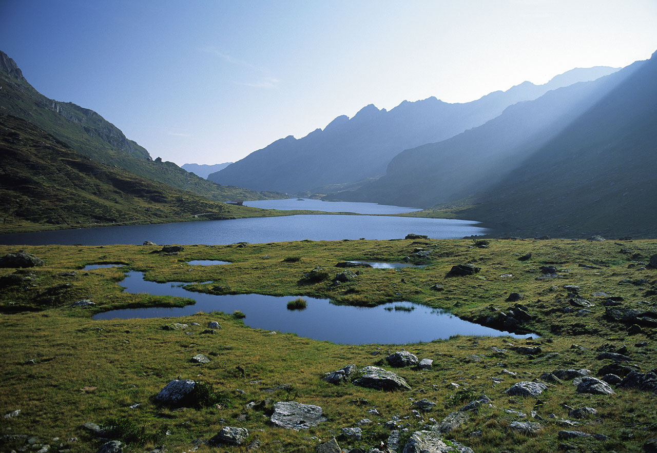
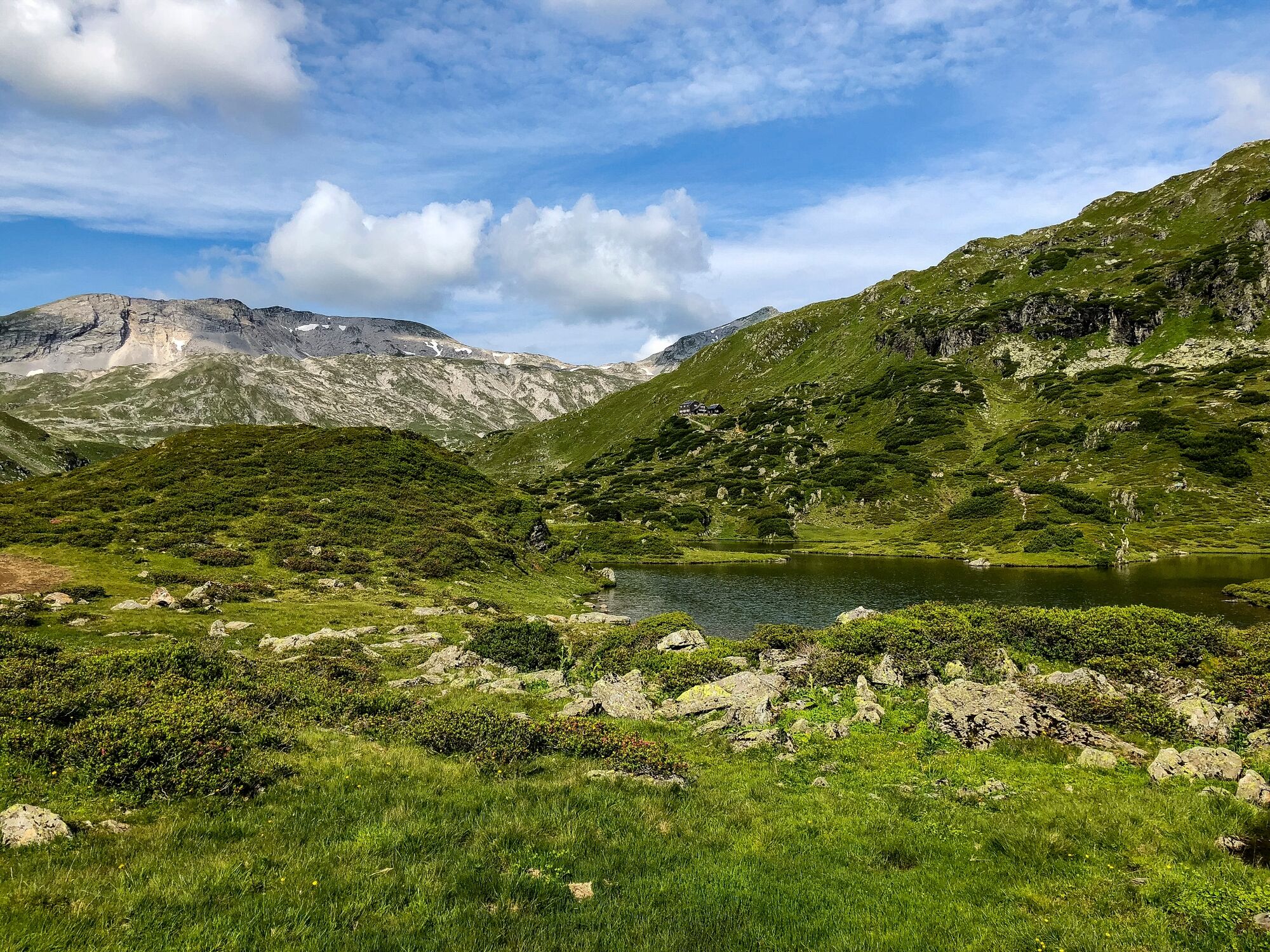
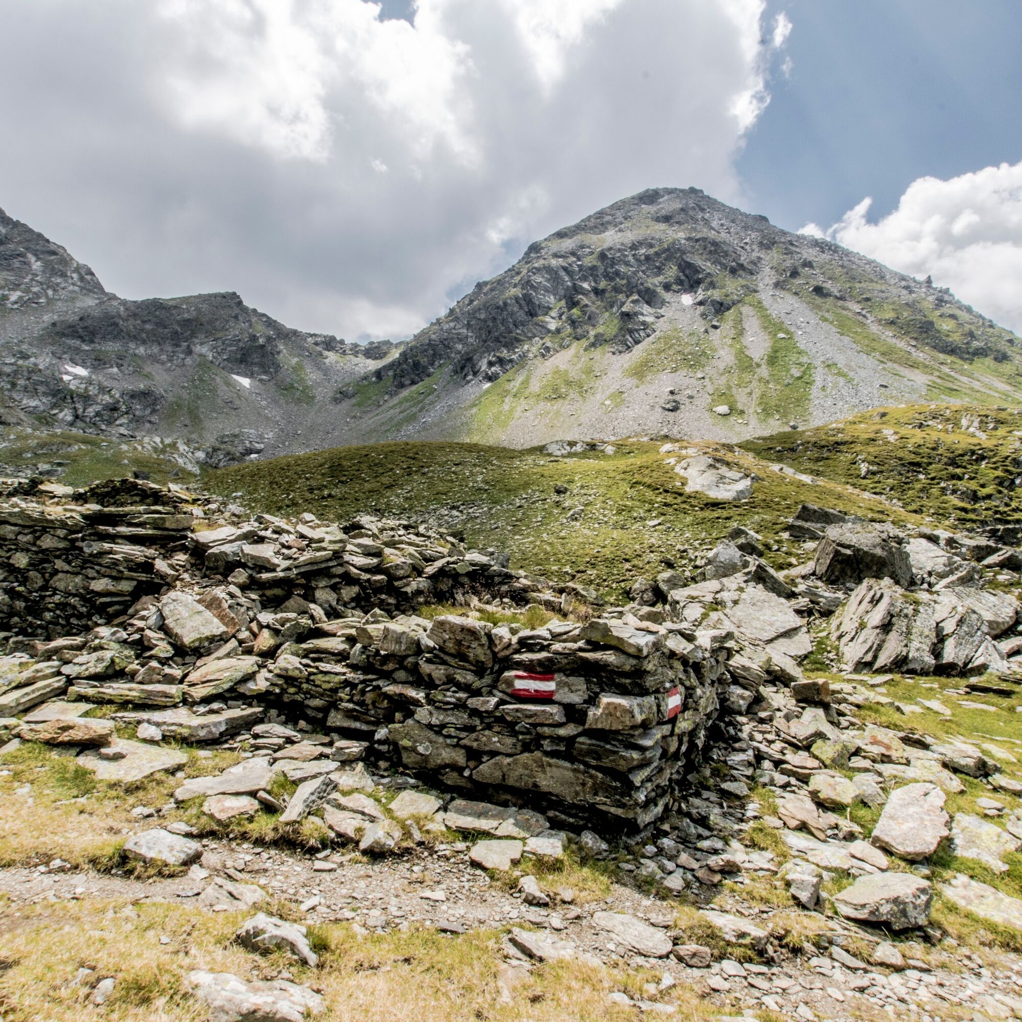
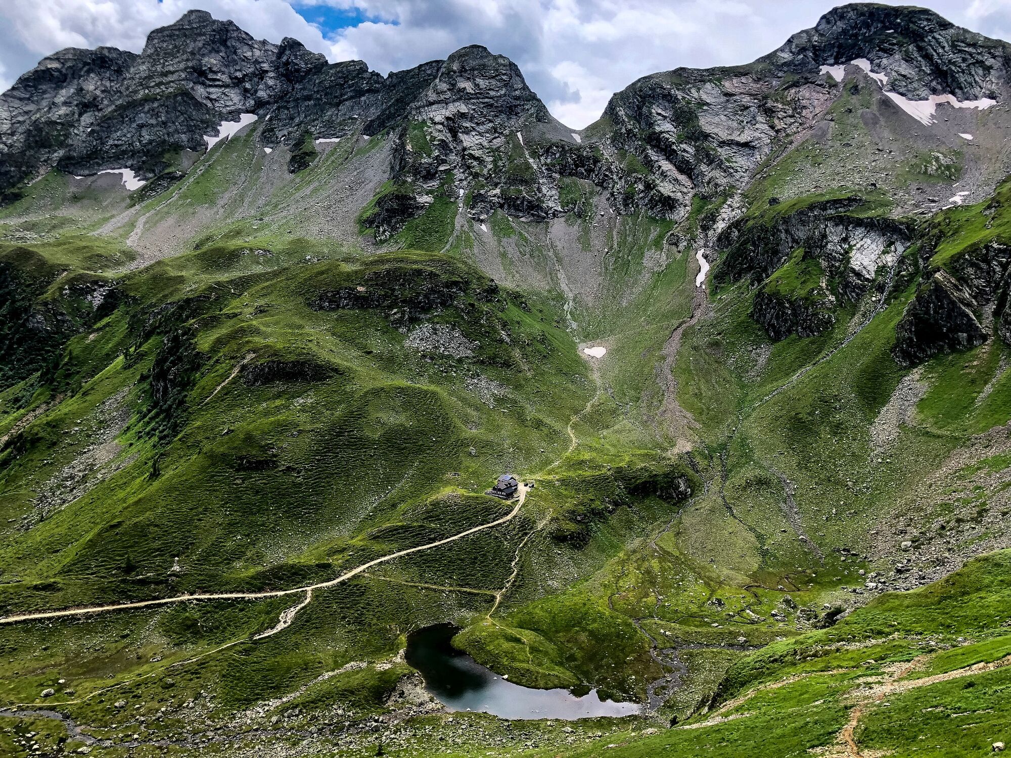
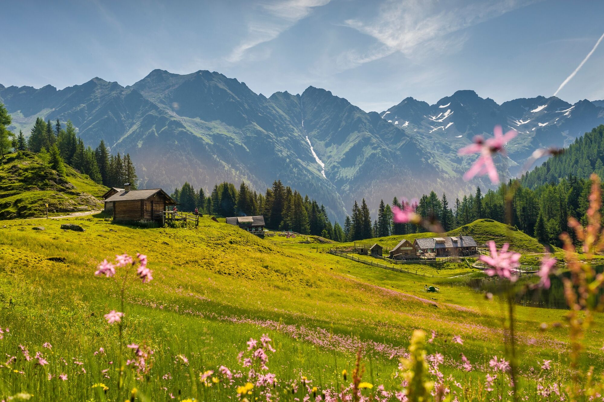
On this and the next 3 stages of the hiking route "From glacier to wine" it gets really alpine. The trail leads right through the Schladminger Tauern, which are known for their abundance of water. In between, on this stage from the Giglachseen to the Keinprechthütte, we still have to deal with the ascent to the Rotmandlspitze, where an incredibly impressive panorama of the surrounding mountains awaits us.
- Difficulté
-
difficile
- Évaluation
-
- Parcours
-
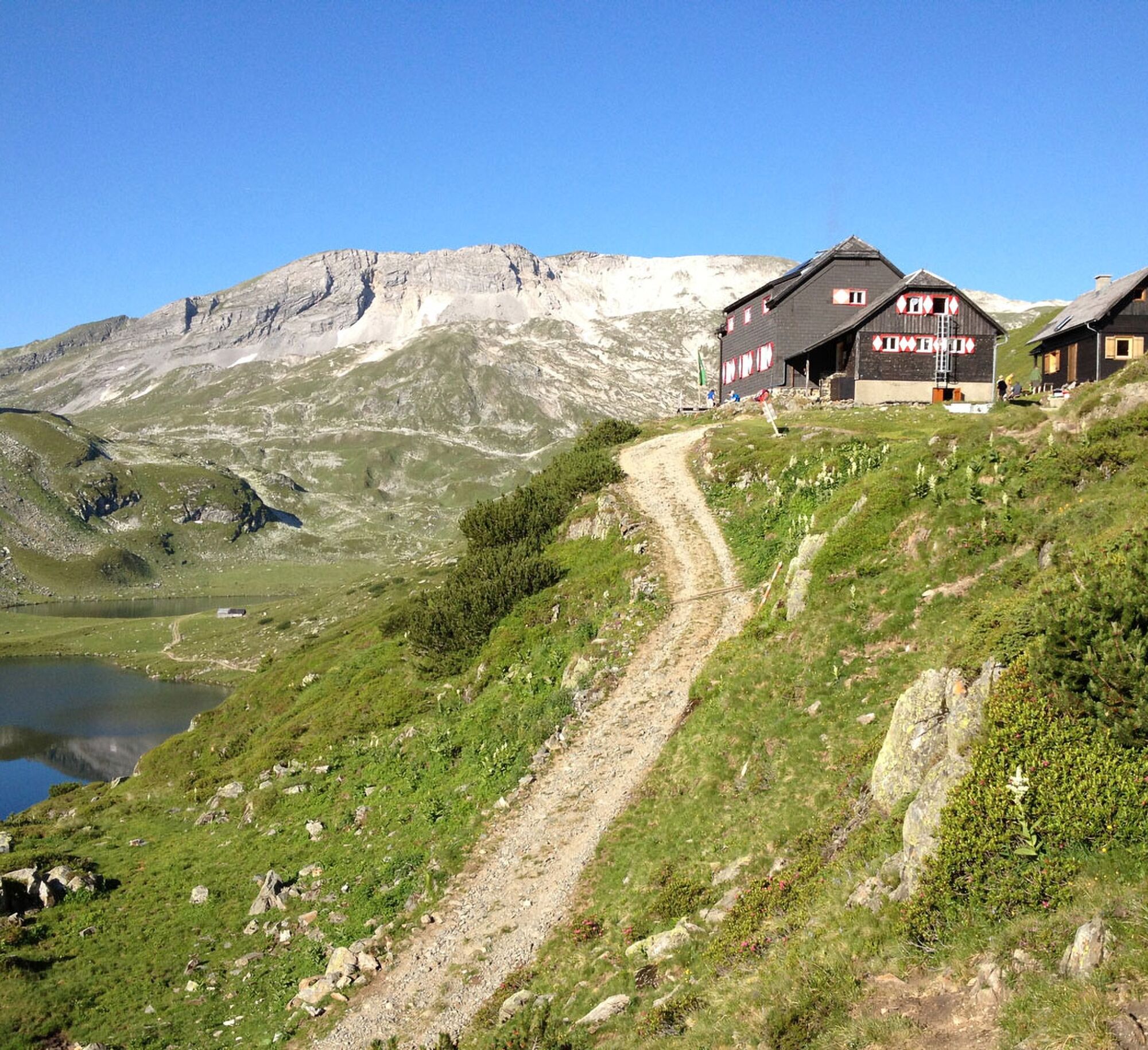
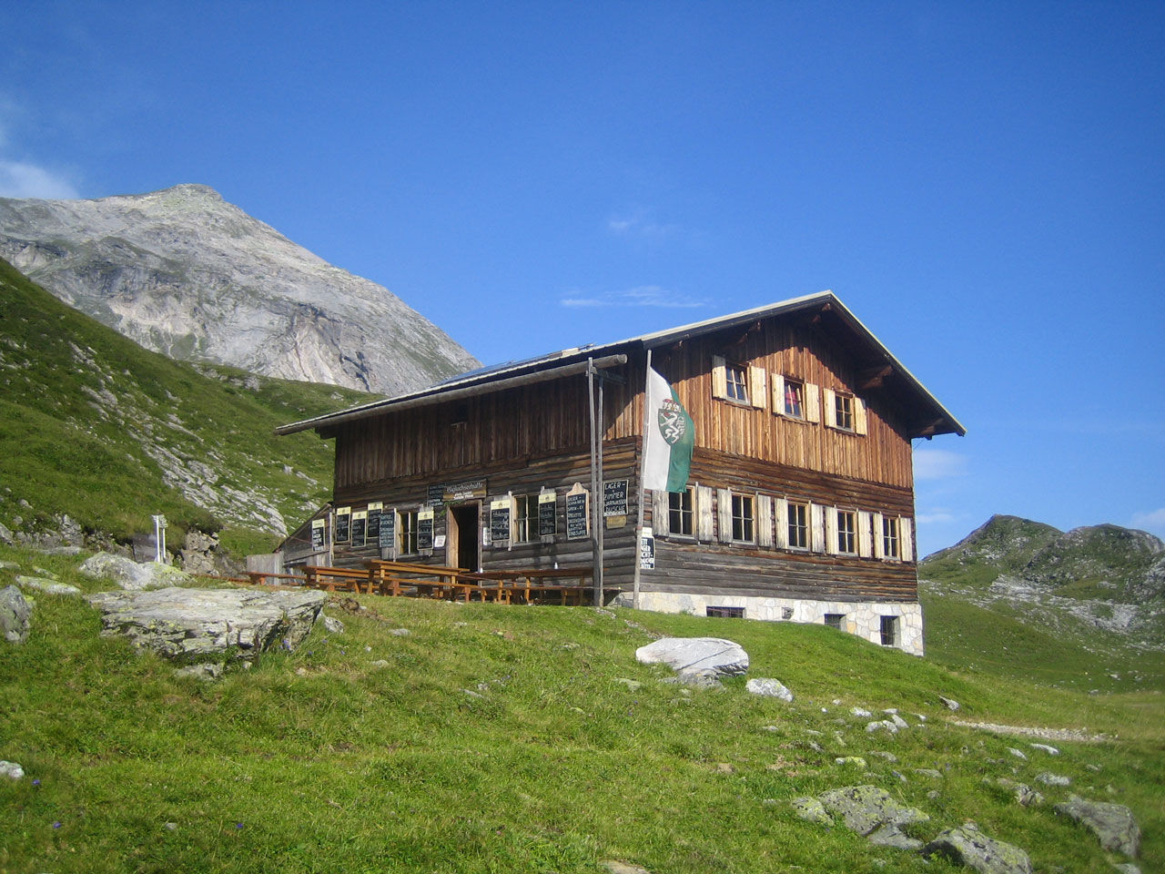
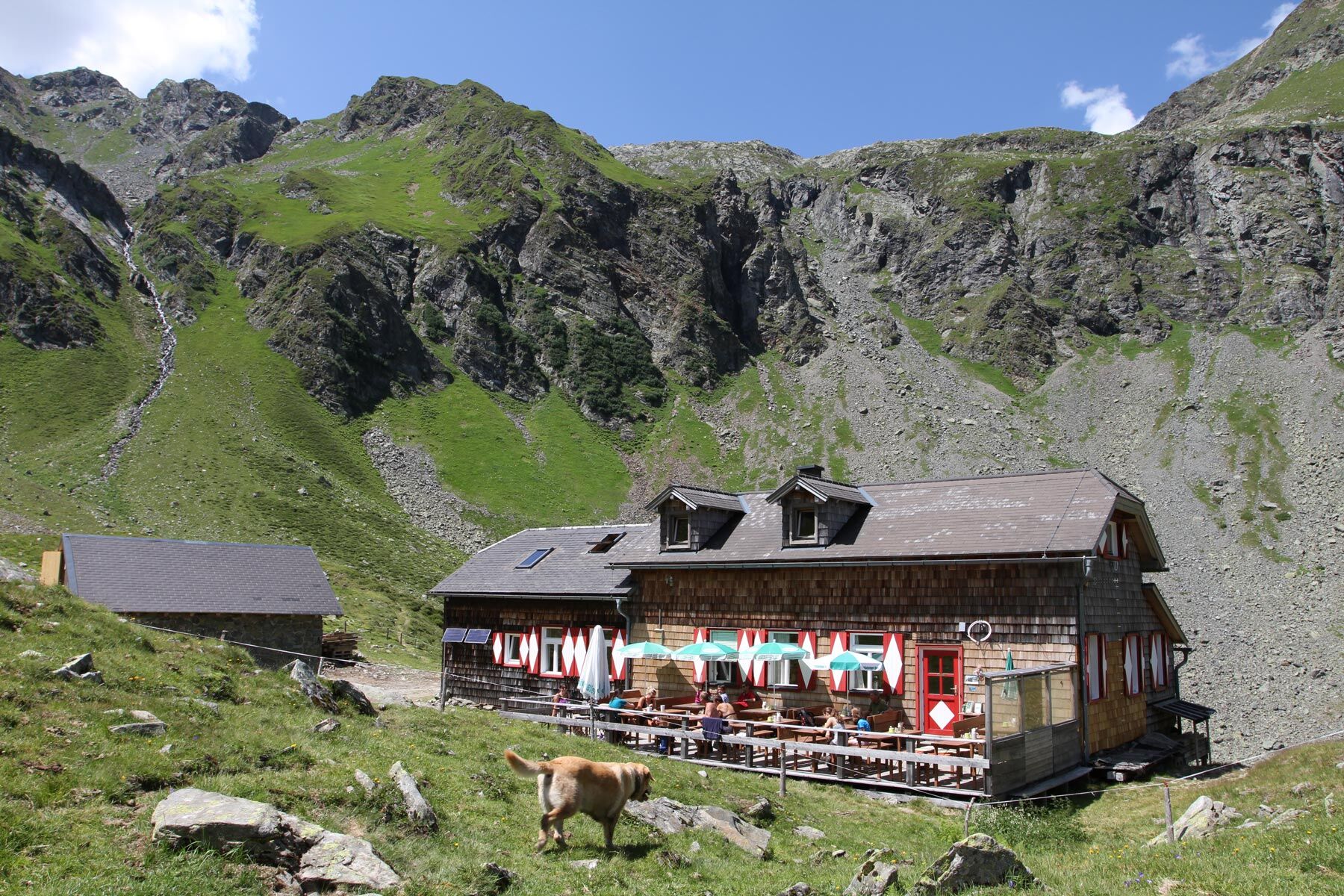
Ignaz-Mattis-Hütte (1.986 m)0,0 kmRotmandlspitze (2.453 m)3,0 kmKeinprechthütte (1.872 m)5,5 km
- Meilleure saison
-
janv.févr.marsavrilmaijuinjuil.aoûtsept.oct.nov.déc.
- Hauteur maximale
- 2.440 m
- Point de mire
-
Keinprechthütte
- Profil en hauteur
-

-

-
AuteurLa randonnée Stage 04 From Glacier to Wine South Route Ignaz Mattis Hütte - Keinprechthütte est utilisé par outdooractive.com fourni par.
GPS Downloads


Informations générales
Prometteur
Autres parcours dans les régions
-
Schladming - Dachstein
3001
-
Schladming - Rohrmoos
1478
-
Rohrmoos
520


