


Dates des itinéraires
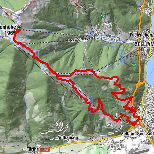
18,77km
751
- 1.960m
1.221hm
1.217hm
05:21h
- Brève description
-
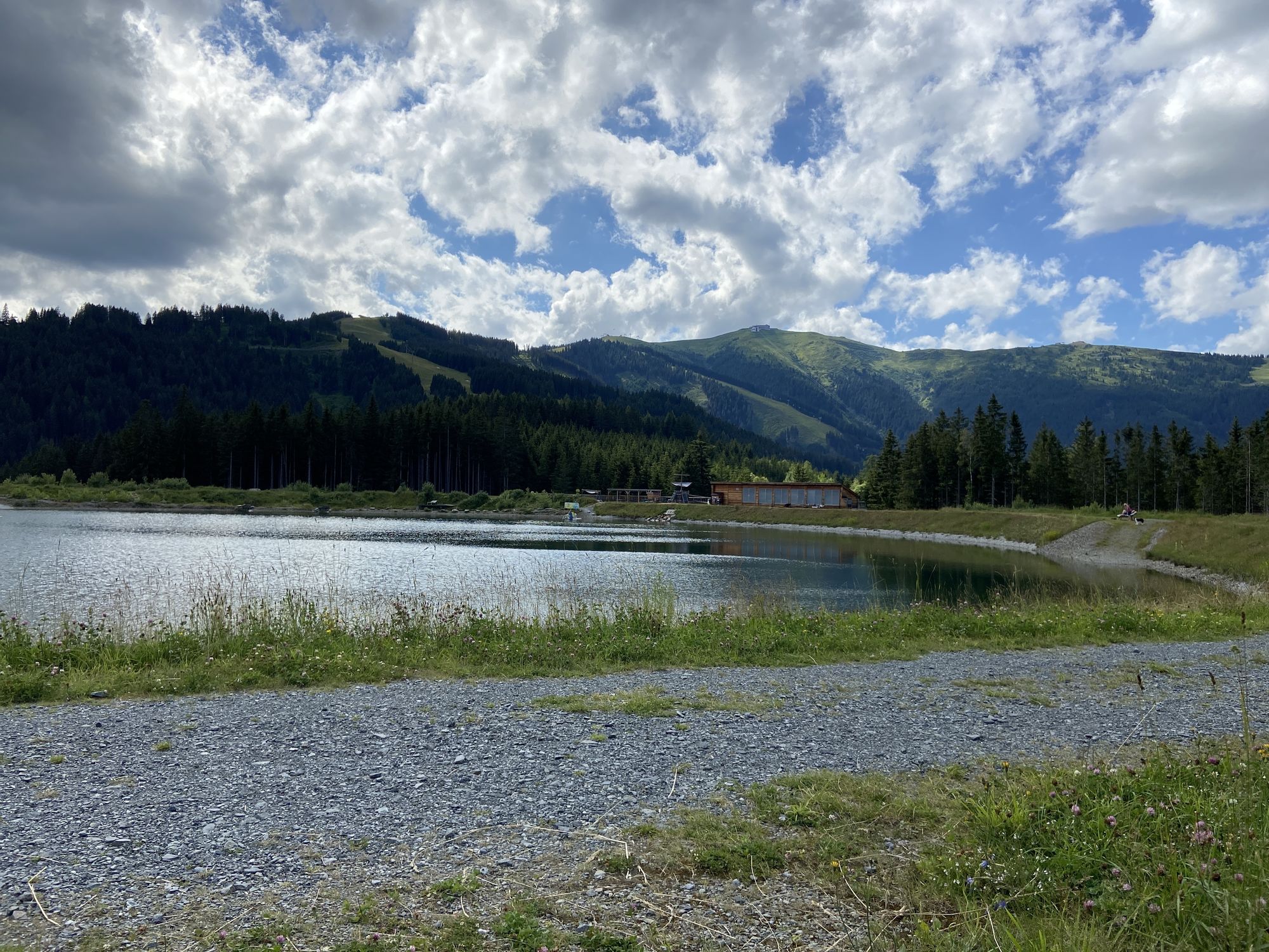
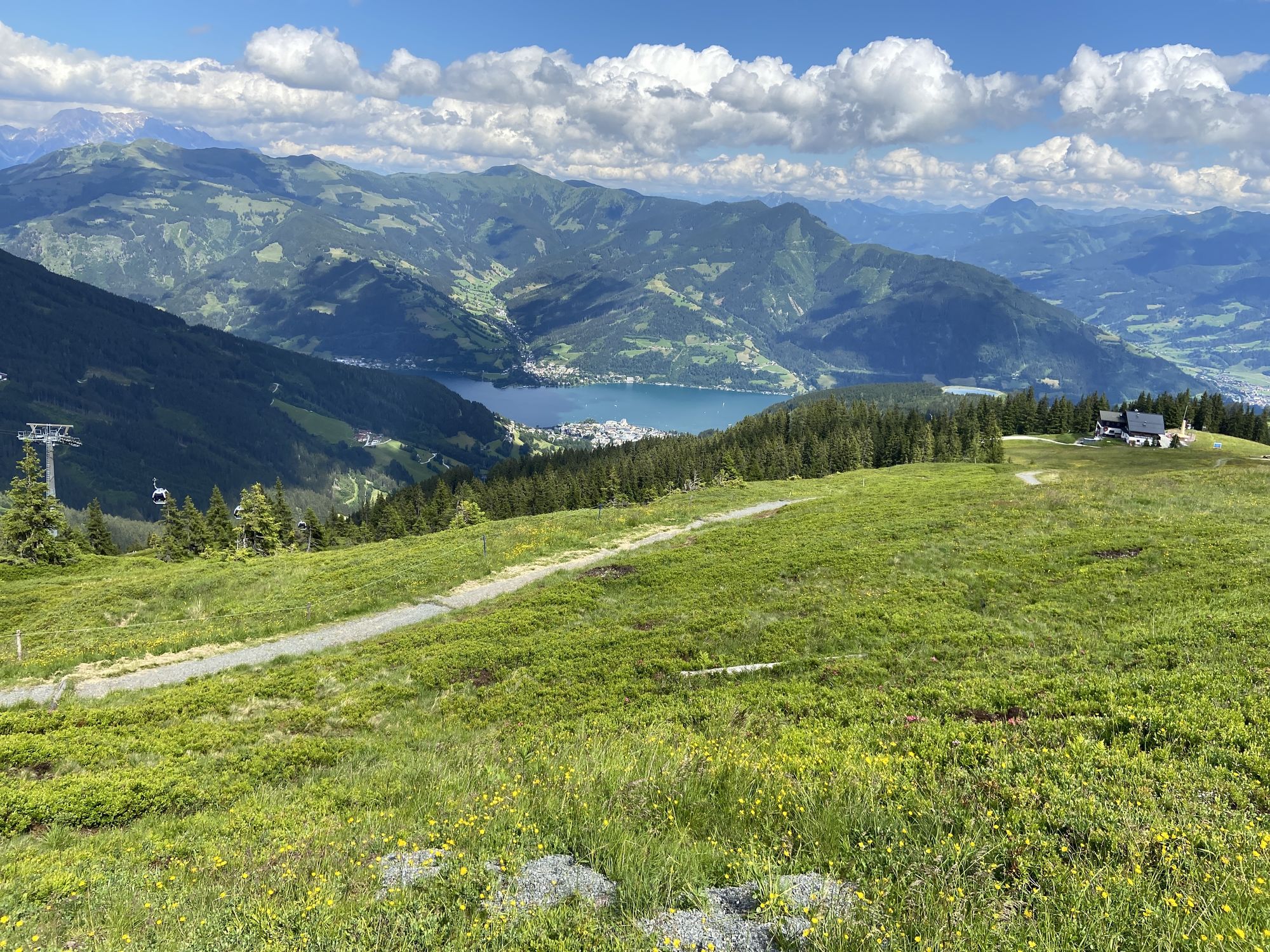
Sehr schönes Panorama vom Schmitten aus.
- Difficulté
-
moyen
- Évaluation
-
- Parcours
-
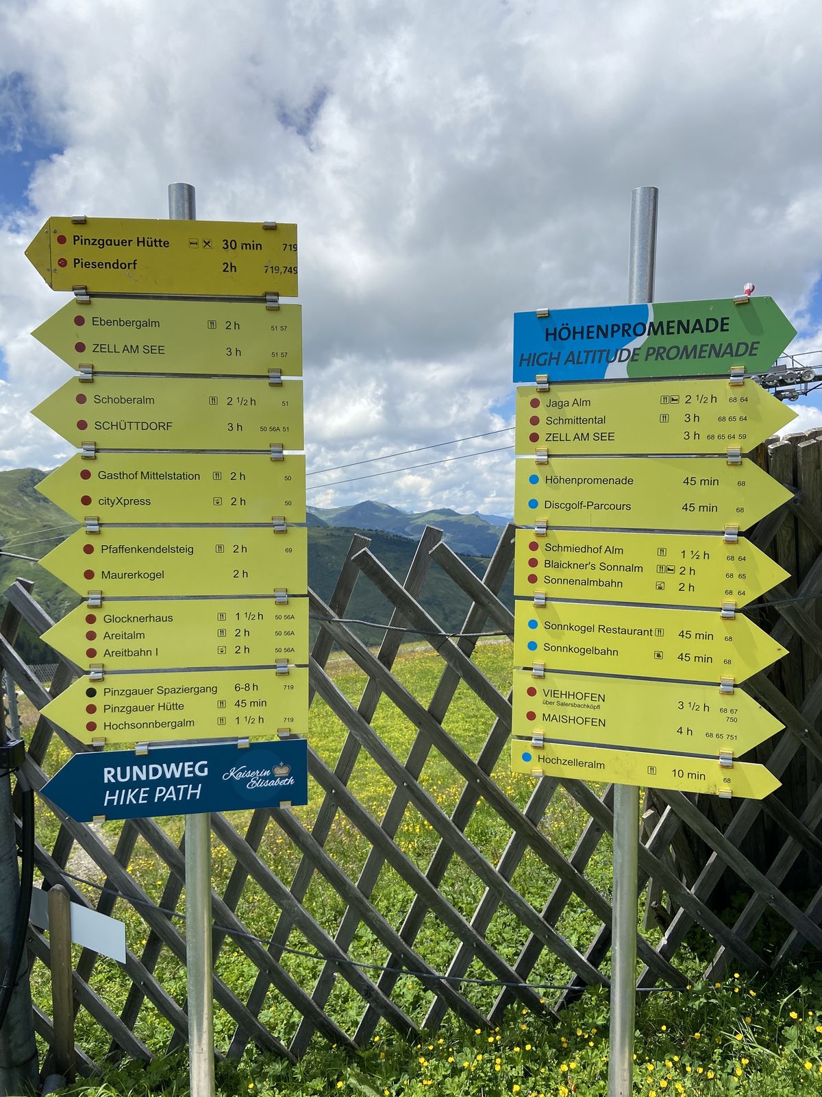
Schüttgut0,2 kmAreitalm3,8 kmAreit Lounge3,9 kmGlocknerbahn Bergstation5,3 kmGlocknerhaus5,6 kmElisabeth-Kapelle8,5 kmSchmittenhöhe (1.965 m)8,5 kmSchmittenhöhebahn8,7 kmBreiteckalm10,1 kmcityXpress12,9 kmGasthof Mittelstation13,1 kmSüdtirolersiedlung17,8 kmSchüttgut17,9 kmSchüttdorf18,2 km
- Meilleure saison
-
janv.févr.marsavrilmaijuinjuil.aoûtsept.oct.nov.déc.
- Hauteur maximale
- 1.960 m
GPS Downloads


Autres parcours dans les régions
-
Zell am See - Kaprun
1501
-
Schmittenhöhe
521


