


© Copyright Bryan Reinhart 2010 - Bryan Reinhart

© Copyright Bryan Reinhart 2010 - Bryan Reinhart
Dates des itinéraires
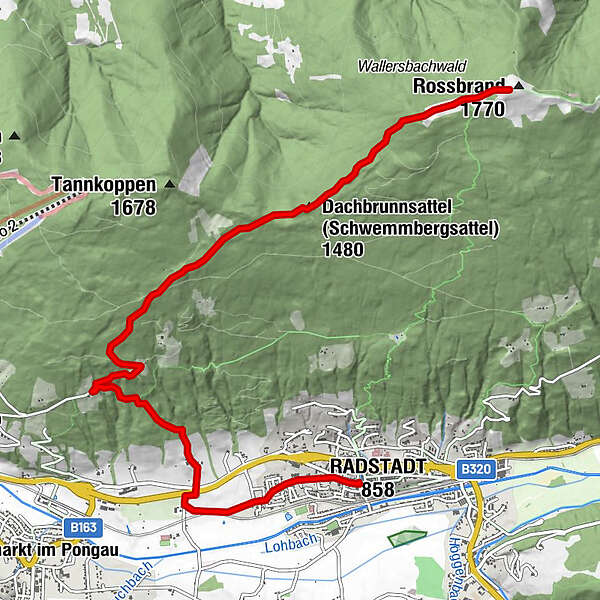
17,2km
839
- 1.759m
950hm
06:30h
- Évaluation
-
- Point de départ
-
Stadtteich
- Parcours
-
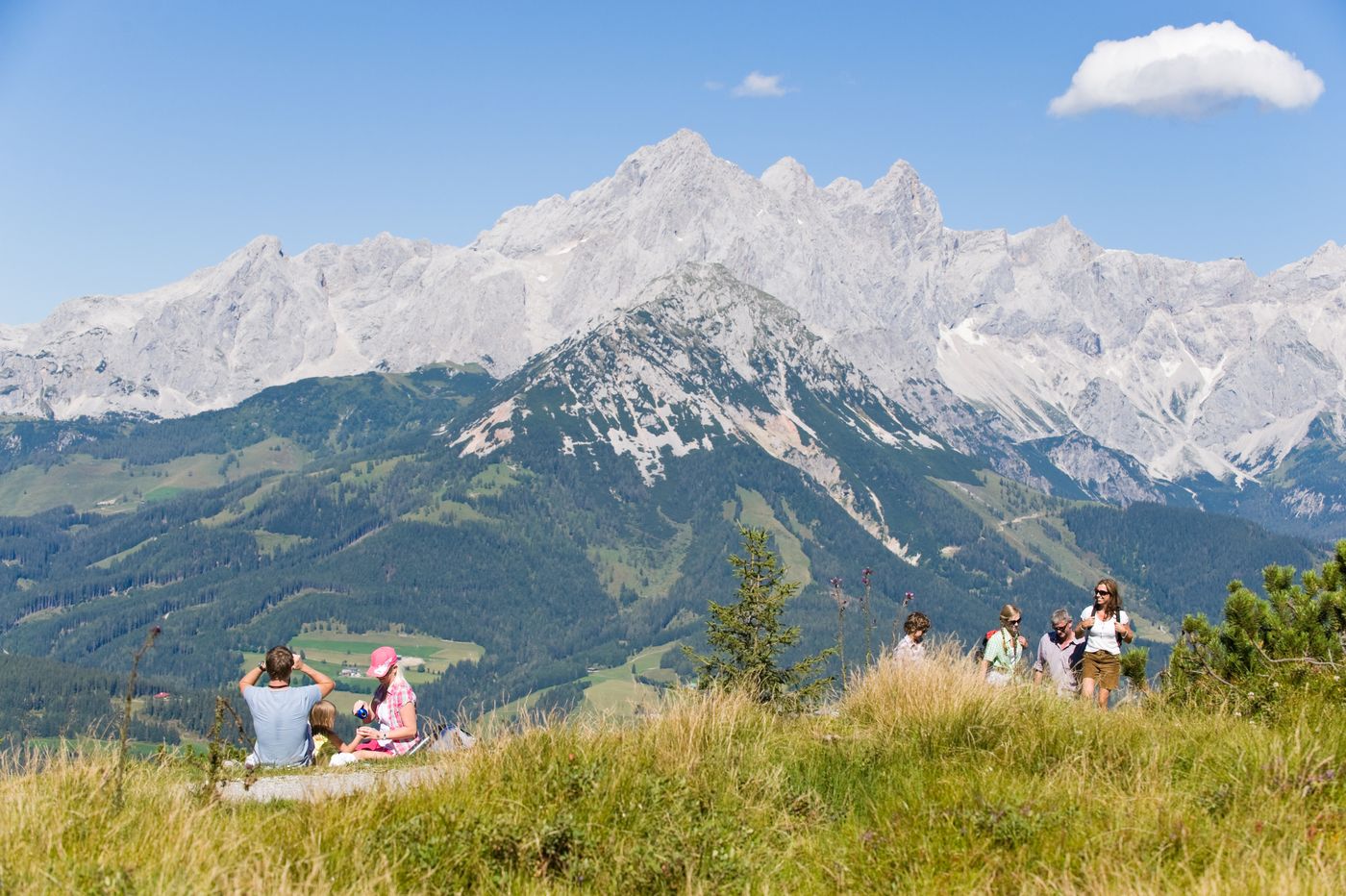
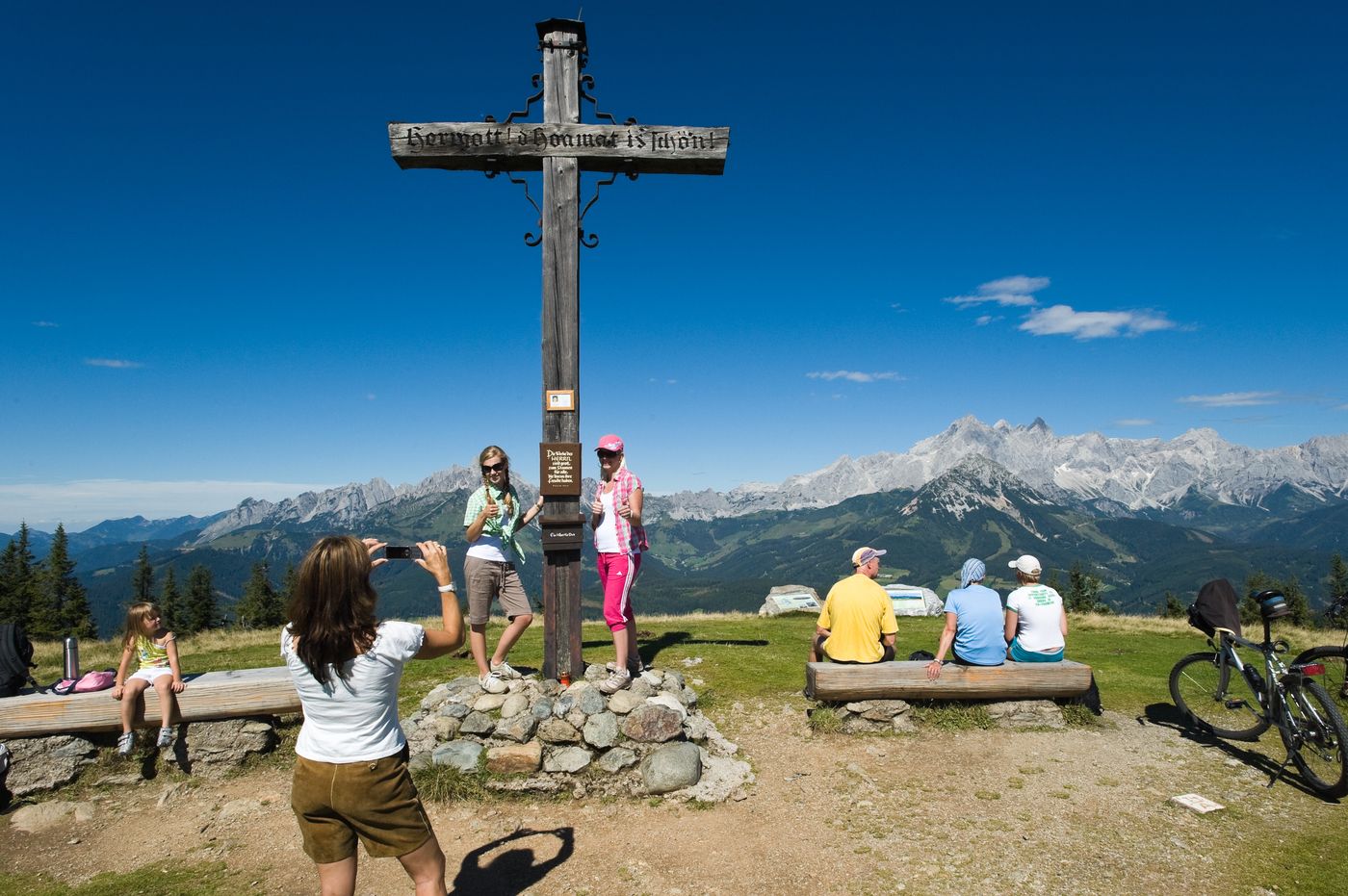
Radstadt (858 m)Evangelische Kirche Radstadt0,4 kmForellencamp0,9 kmRadstädterhütte8,4 kmRossbrand (1.770 m)8,4 km
- Hauteur maximale
- 1.759 m
- Repos/Rassembler
-
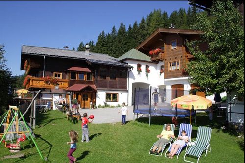
Gasthof - Jausenstation Habersatt, Radstädter Hütte am Gipfel

GPS Downloads


Nature du chemin
Asphalte
Gravier
Pelouse
Forêt
Rocher
Exposé
Autres parcours dans les régions
-
Schladming - Dachstein
2999
-
Salzburger Sportwelt
2192
-
Radstadt
596


