


Dates des itinéraires
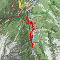
7,4km
2.575
- 3.647m
1.156hm
123hm
05:00h
- Brève description
-
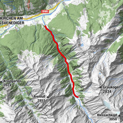
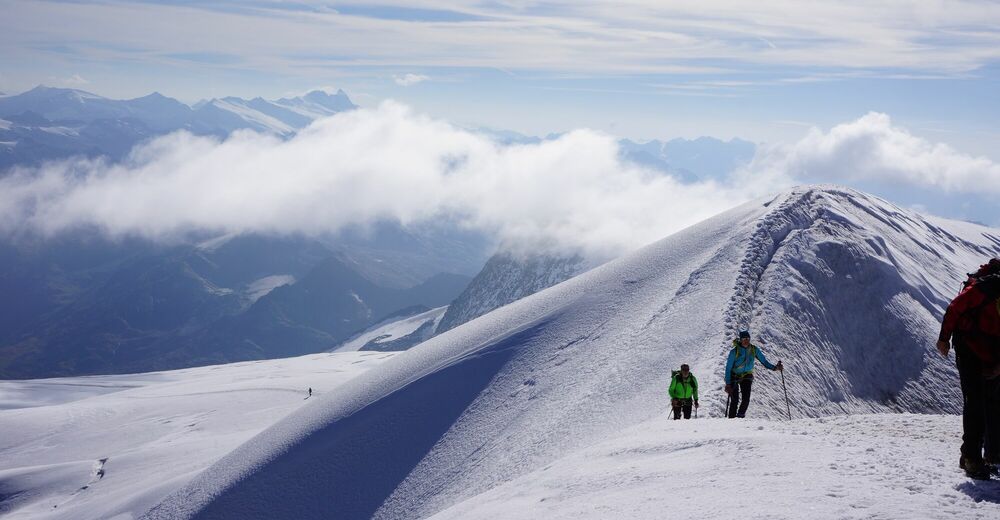
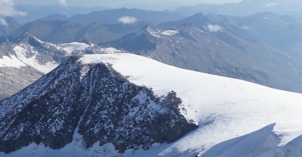
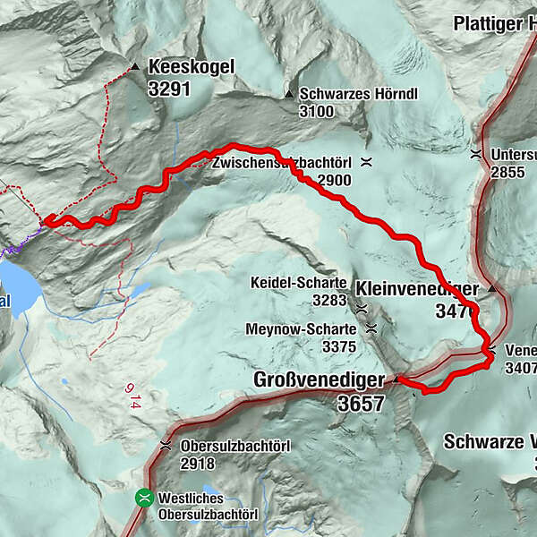
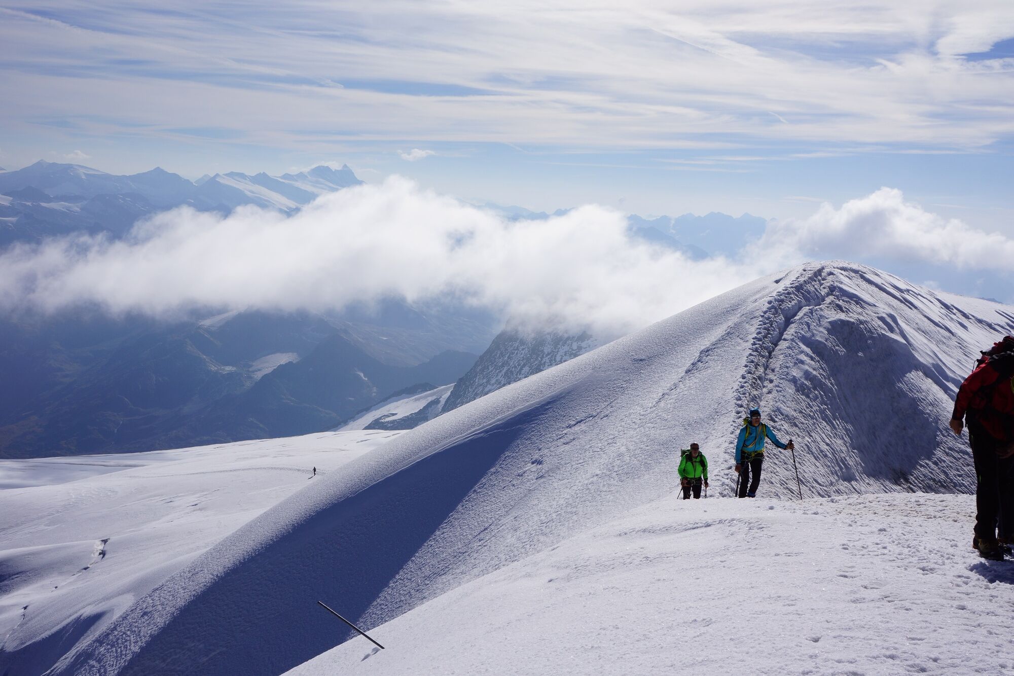
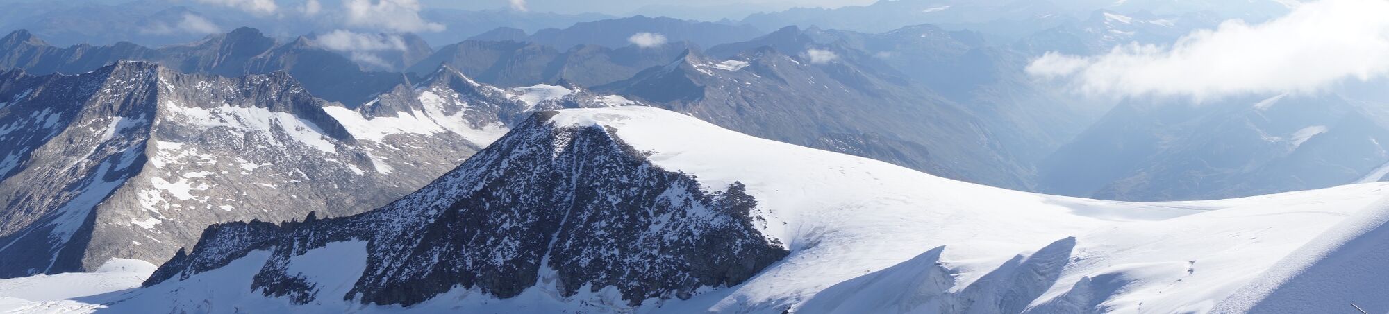
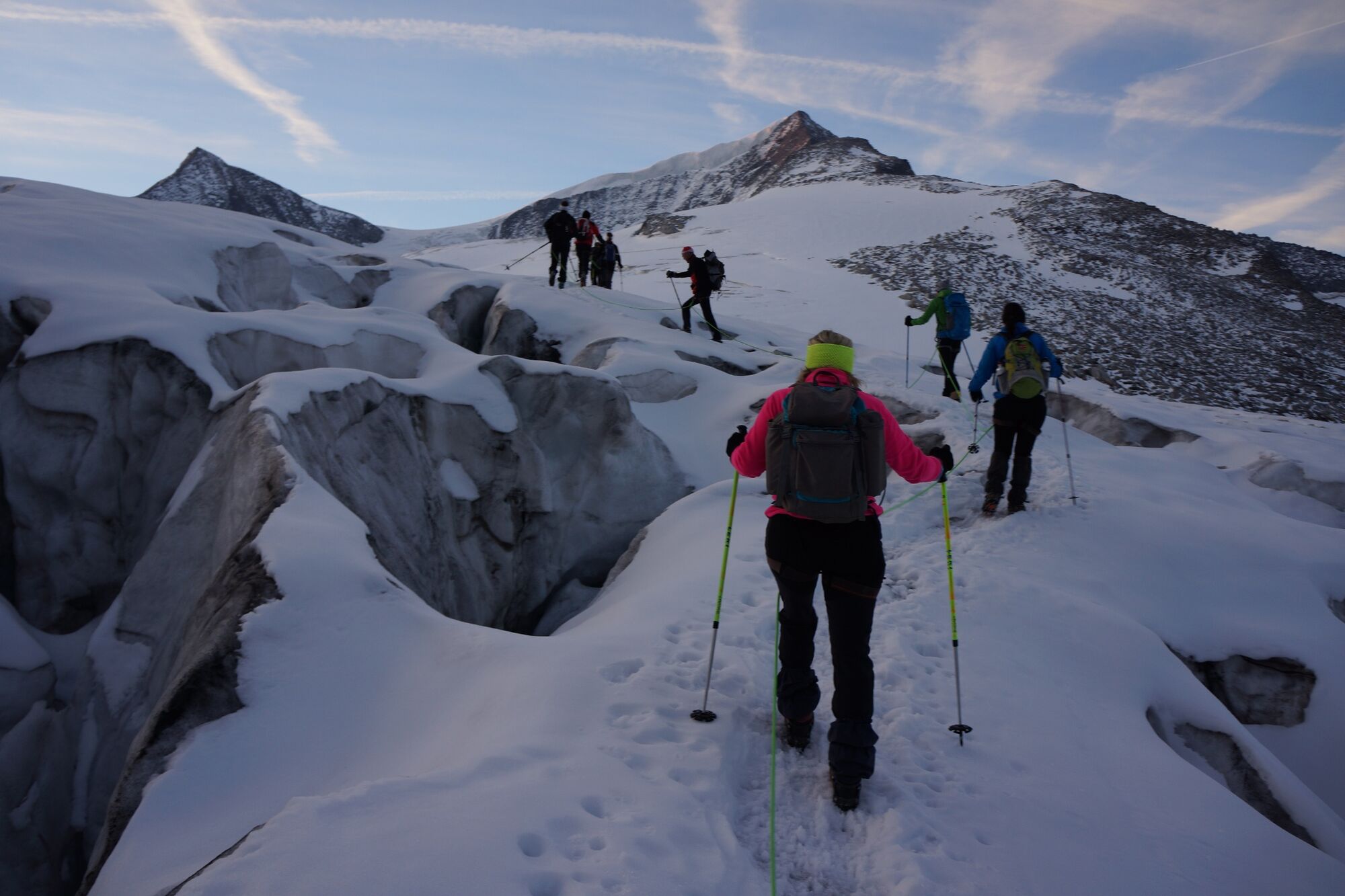
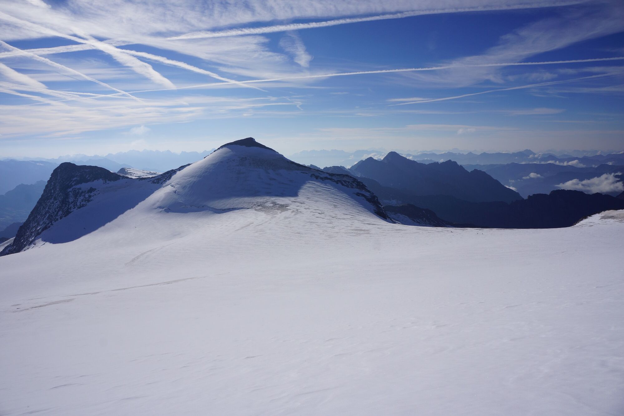
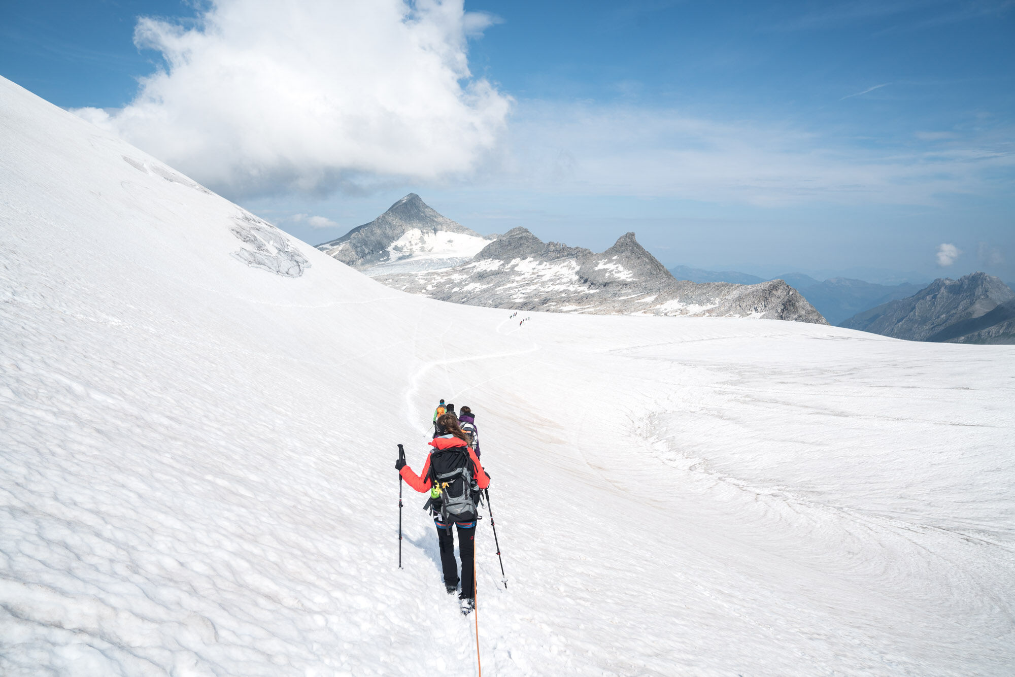
A high mountain tour to Salzburg's highest peak, the Großvenediger.
This distinctive, glaciated mountain also referred to as “ancient majesty” belongs to the Venediger group in the Hohe Tauern range, on the border between East Tyrol and Salzburg. - Difficulté
-
difficile
- Évaluation
-
- Parcours
-
Venedigerscharte (3.407 m)6,2 kmGroßvenediger (3.657 m)7,4 km
- Meilleure saison
-
janv.févr.marsavrilmaijuinjuil.aoûtsept.oct.nov.déc.
- Hauteur maximale
- 3.647 m
- Point de mire
-
Großvenediger
- Profil en hauteur
-


- Auteur
-
La randonnée Neukirchen: Großvenediger tour est utilisé par outdooractive.com fourni par.
GPS Downloads


Informations générales
Point de rassemblement
Prometteur
Autres parcours dans les régions