


- Brève description
-
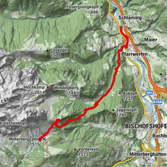
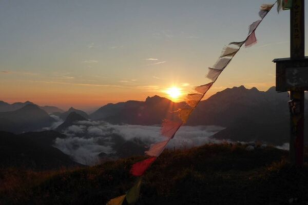
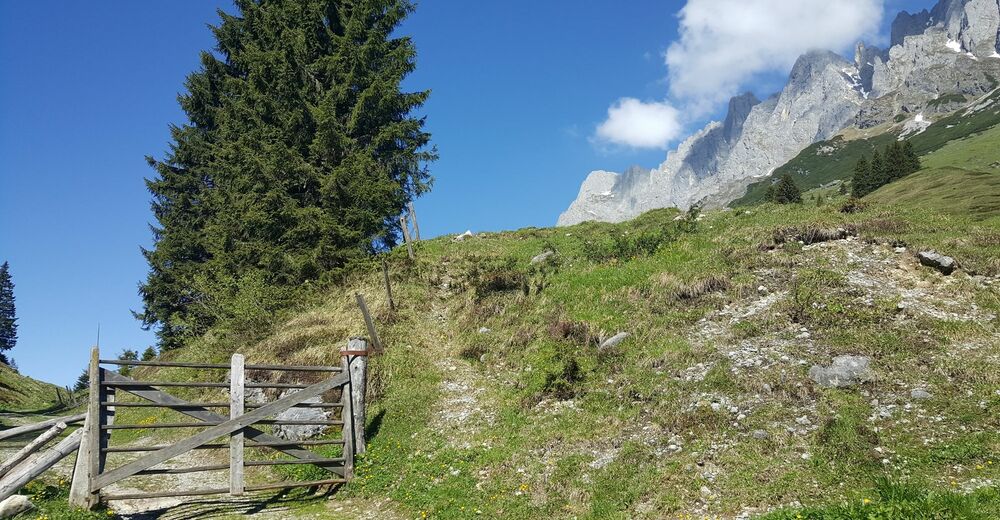
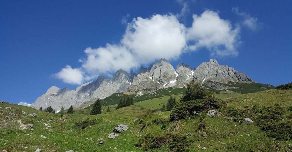
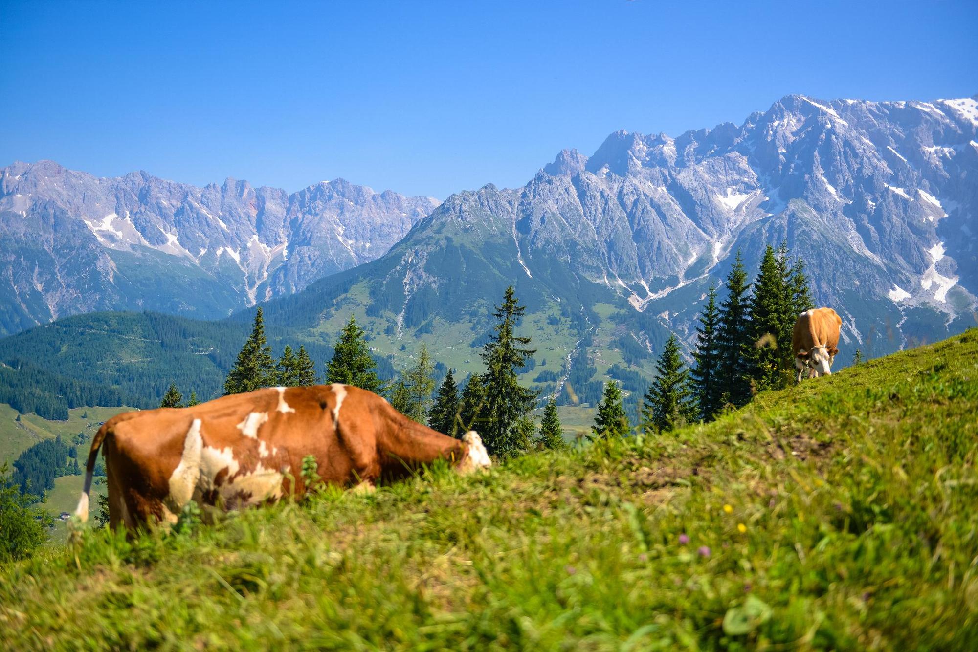
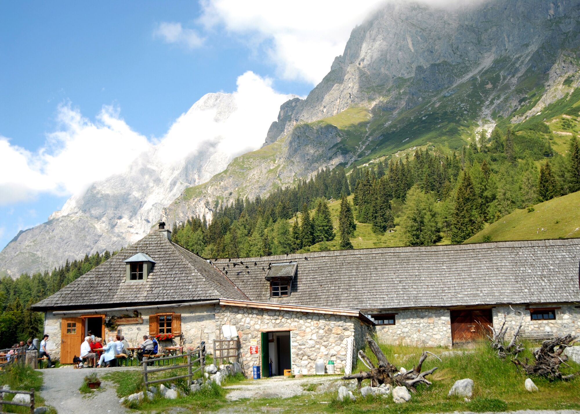
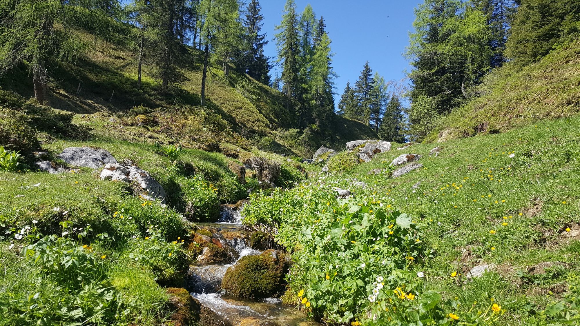
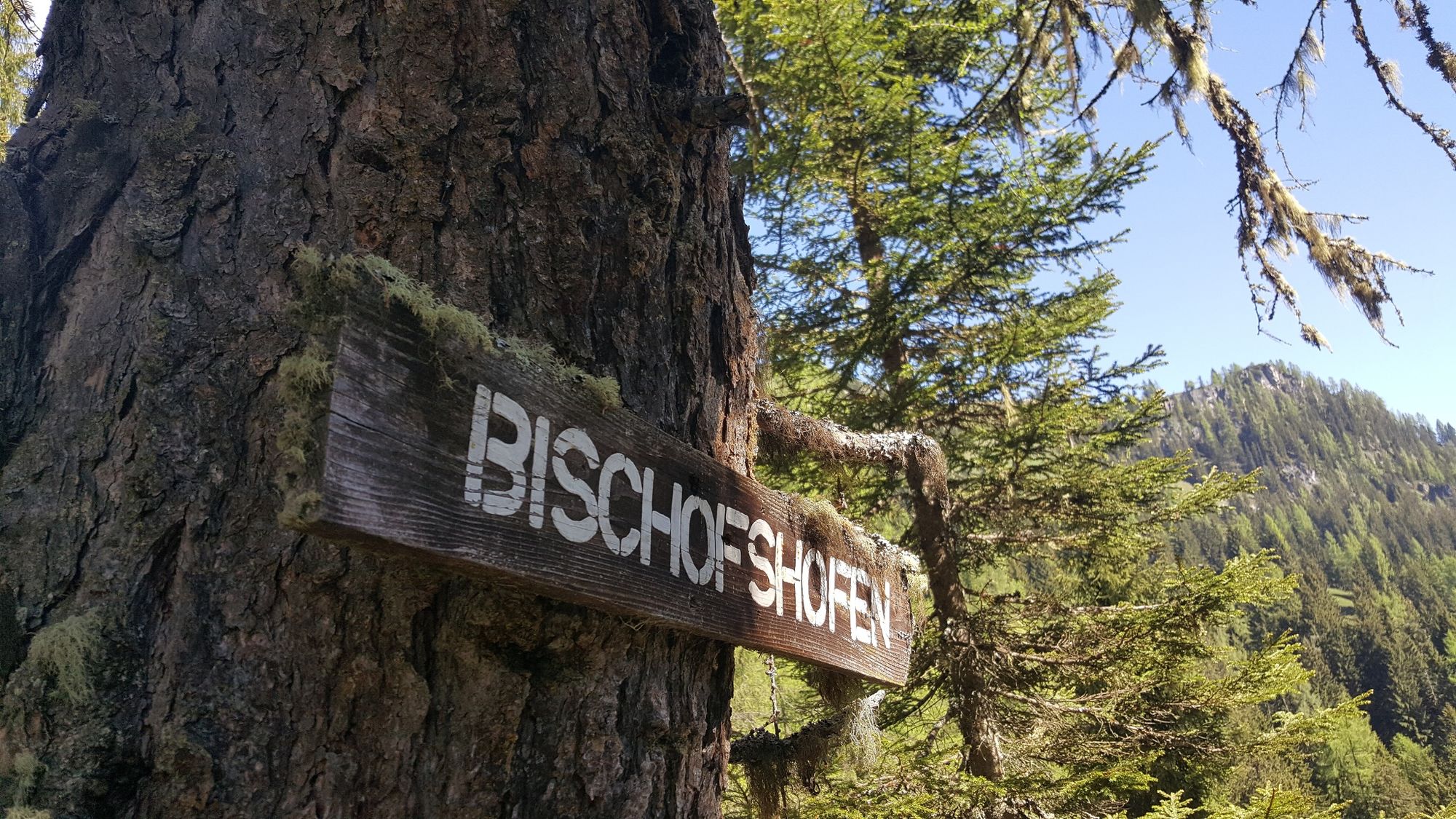
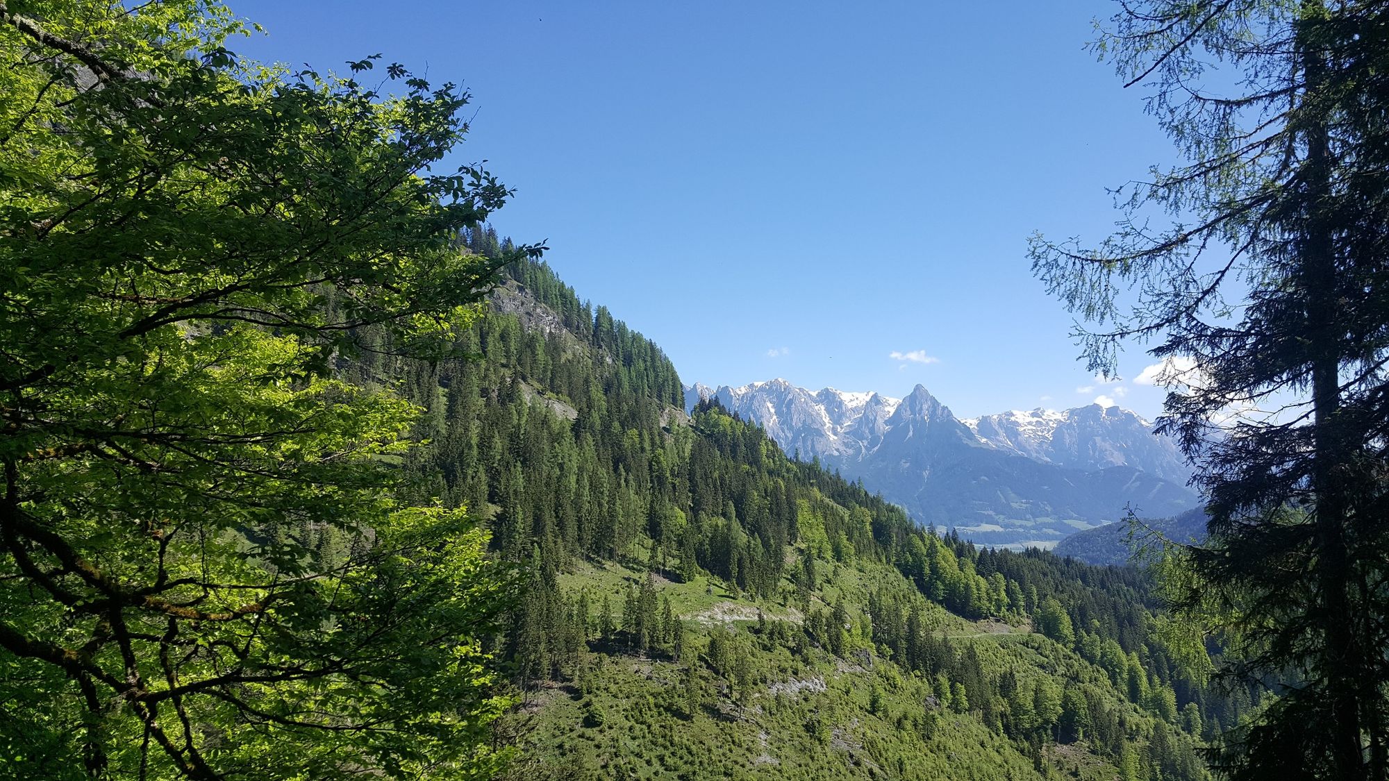
From Bischofshofen via Mitterbergsattel to Mühlbach at the foot of the Hochkönig
- Difficulté
-
moyen
- Évaluation
-
- Parcours
-
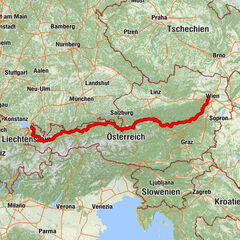
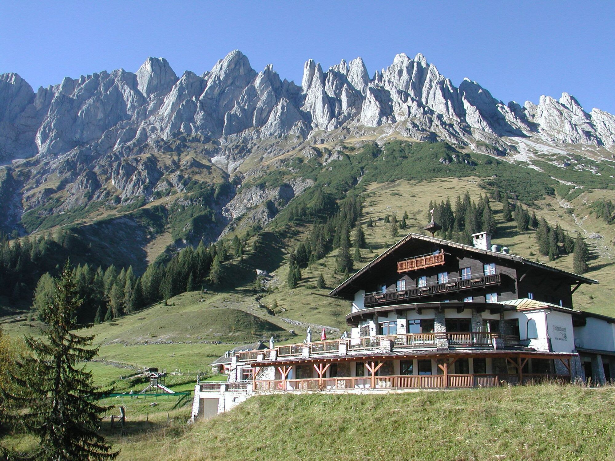
Bischofshofen0,1 kmLaideregg1,1 kmGainfeld4,1 kmMitterbergsattel (1.515 m)9,3 kmArthurhaus9,7 km
- Meilleure saison
-
janv.févr.marsavrilmaijuinjuil.aoûtsept.oct.nov.déc.
- Hauteur maximale
- 1.521 m
- Point de mire
-
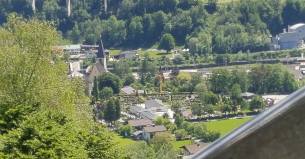
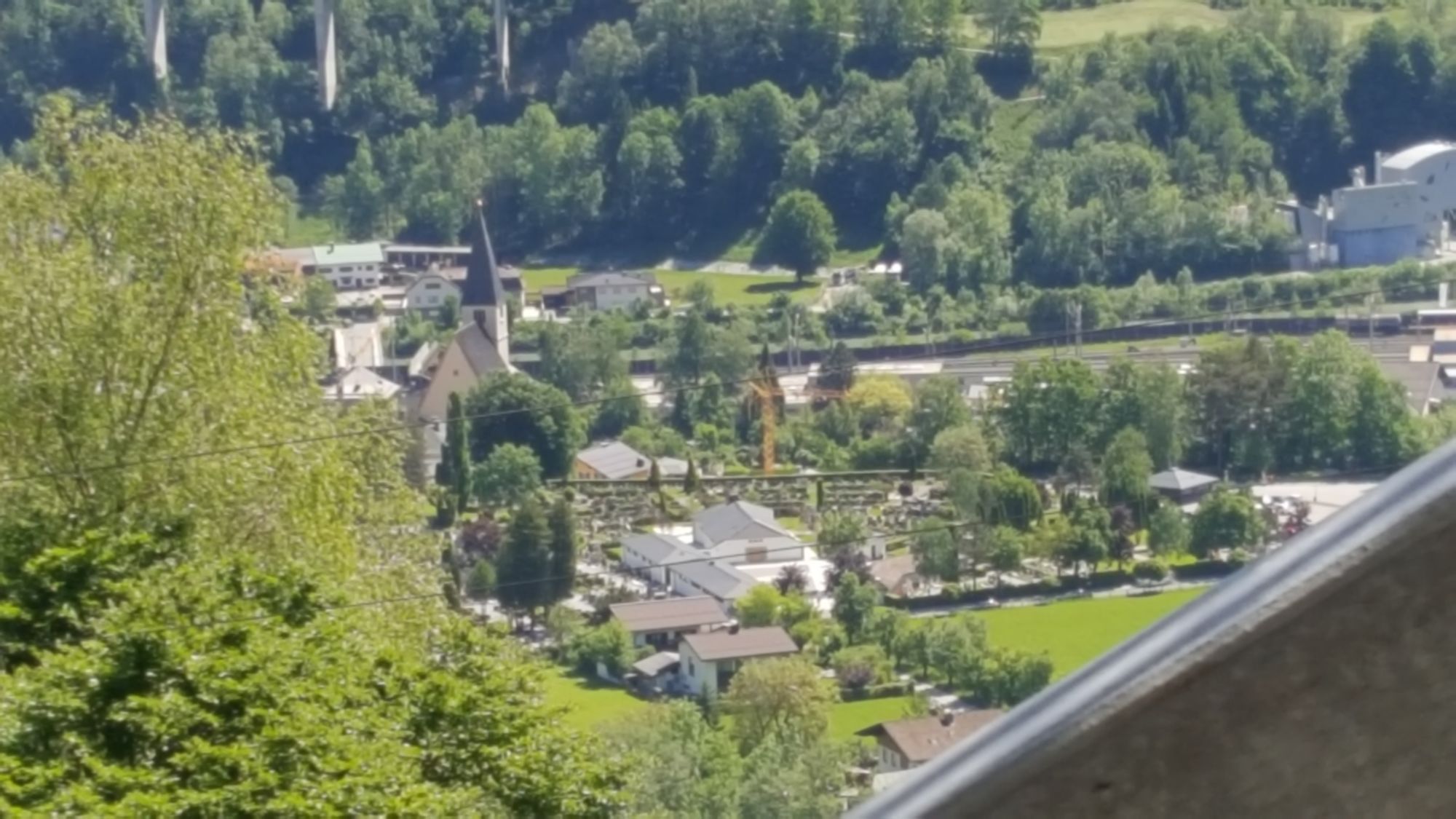
Mühlbach
- Profil en hauteur
-


- Auteur
-
La randonnée Via Alpina 1st stage est utilisé par outdooractive.com fourni par.
GPS Downloads


Informations générales
Point de rassemblement
Autres parcours dans les régions