


- Brève description
-
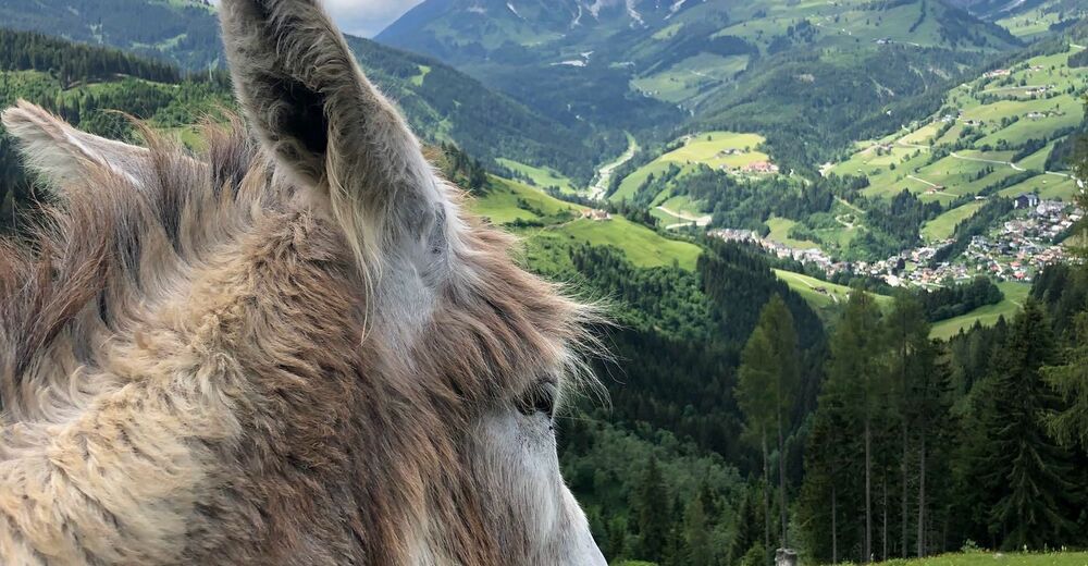
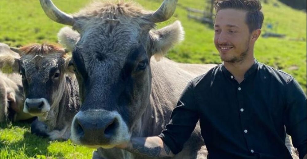
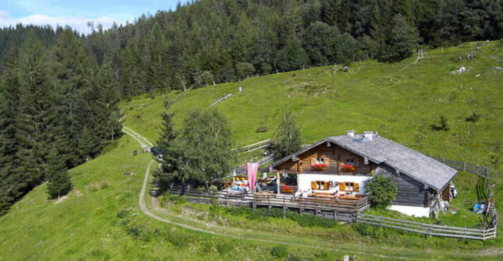
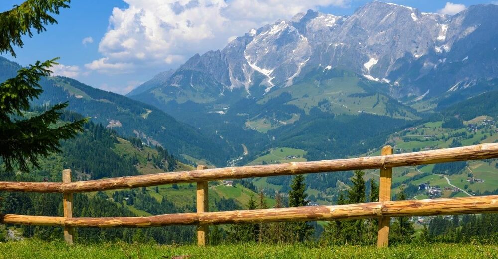
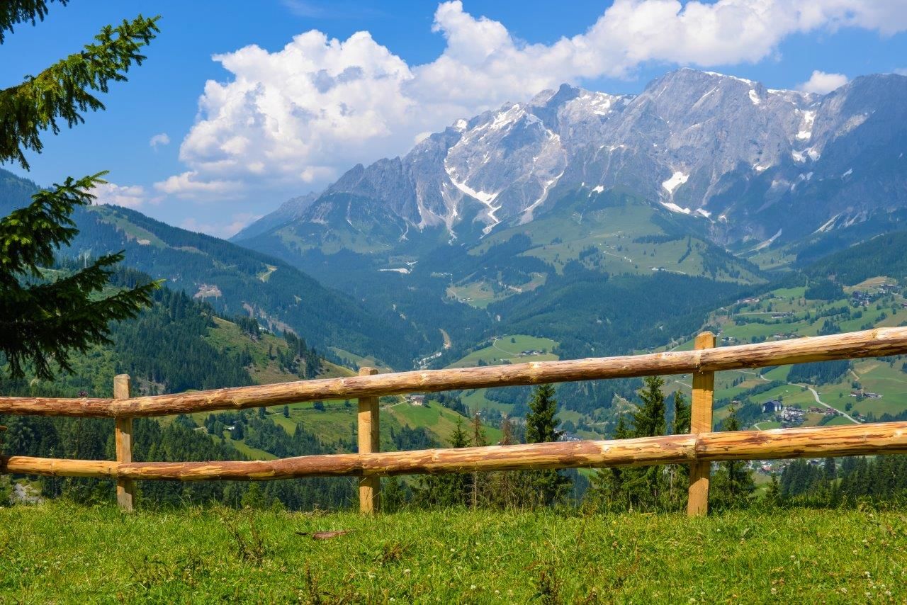
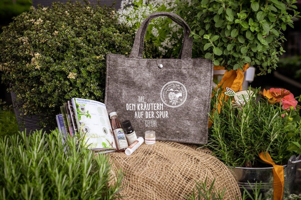
The breathtaking view of the mountain village of Mühlbach and the mighty Hochkönig Massif - a delight! There is a playground and lots of animals for the little guests.Special feature: From the Paussbauern the path of good thoughts leads along a romantic hiking trail to the Pronebenalm.
- Difficulté
-
moyen
- Évaluation
-
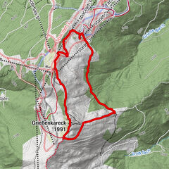
- Parcours
-
Althausalm3,3 kmAlthaussattel3,6 kmKreisten4,2 kmHubertuskapelle4,2 kmPronebenalm7,4 kmPaussbauer8,8 kmMühlbach am Hochkönig11,5 kmHöring11,5 kmKarbachalm12,7 km
- Meilleure saison
-
janv.févr.marsavrilmaijuinjuil.aoûtsept.oct.nov.déc.
- Hauteur maximale
- 1.493 m
- Point de mire
-
Pronebenalm
- Profil en hauteur
-


- Auteur
-
La randonnée ON THE TRAIL OF HERBS - to the Pronebenalm est utilisé par outdooractive.com fourni par.
GPS Downloads


Informations générales
Point de rassemblement
Prometteur
Autres parcours dans les régions