Maiskogel Agricultural Road

Logo Maiskogel Agricultural Road
Dates des itinéraires
7,39km
771 - 1.535m
Distance
718hm
Montée
02:47h
 
Durée
Brève description
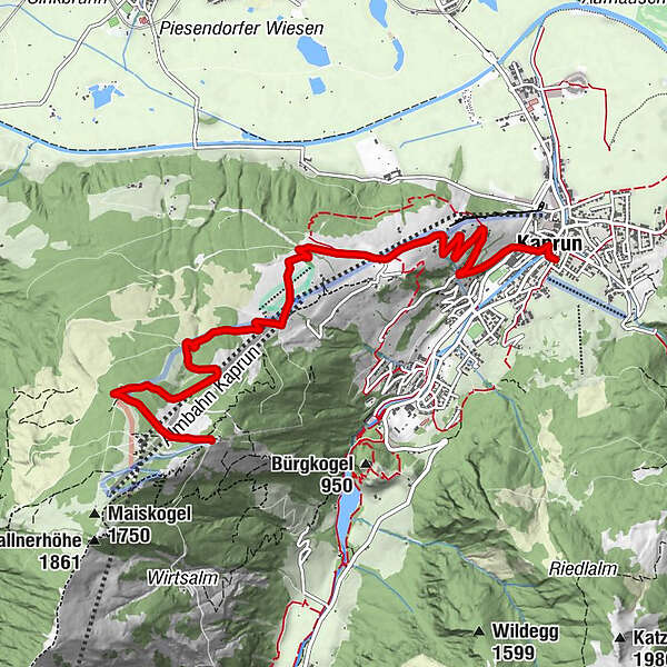
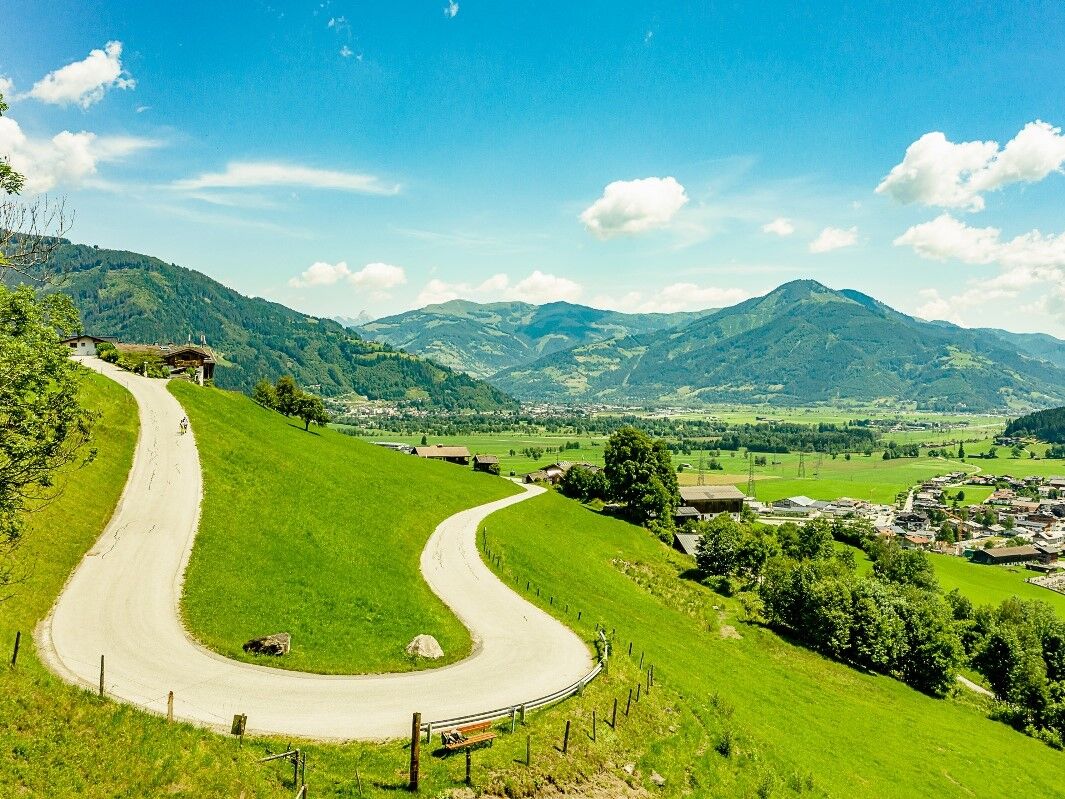
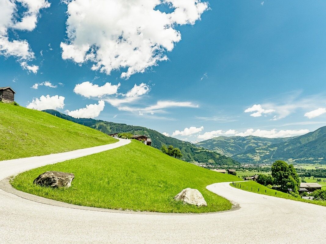
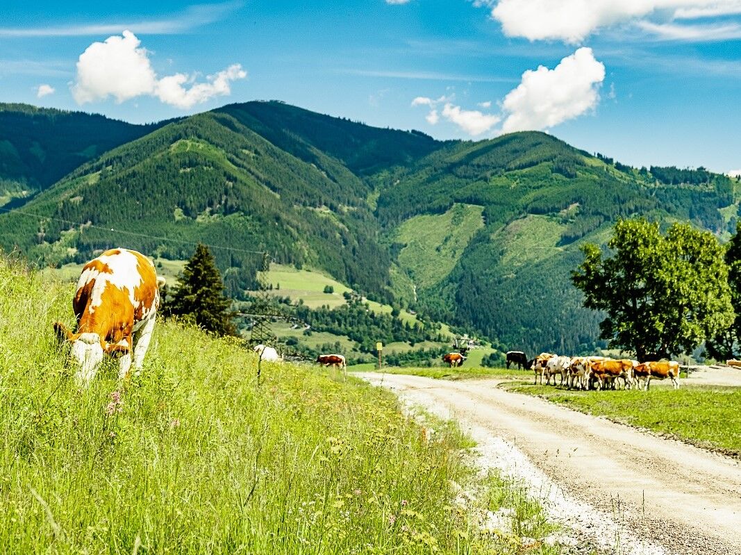
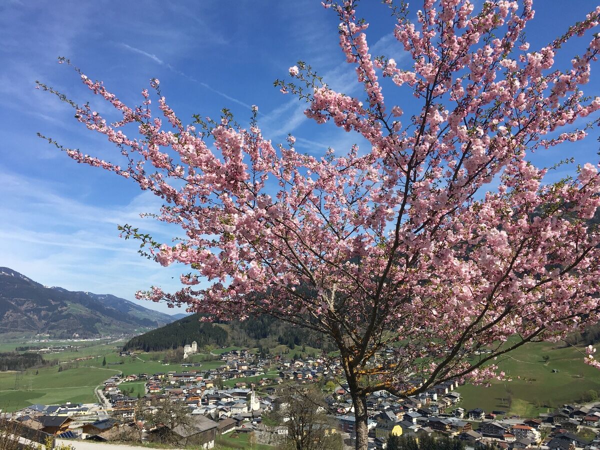
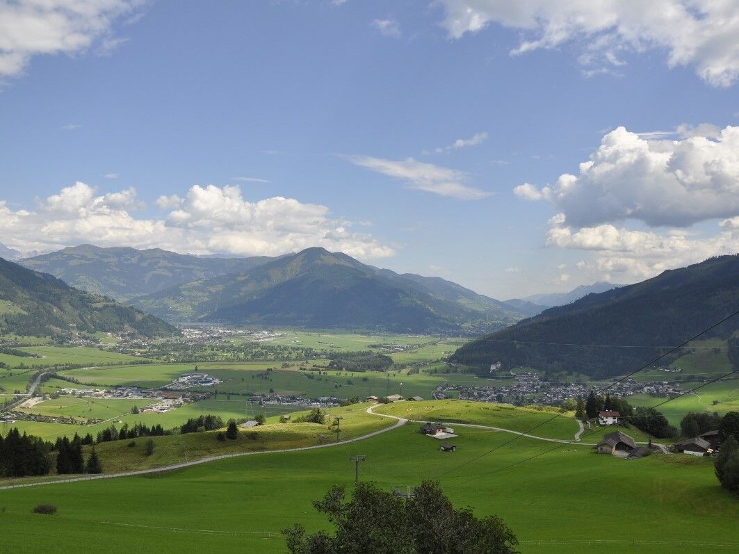
from the Kaprun centre along Schaufelberg street and along the Maiskogel track to the top of the family mountain Maiskogel.


Difficulté
facile
Évaluation
Technique
Endurance
Paysage
Résultat
Parcours
Kaprun
0,1 km
Jausenstation Unteraigen
1,3 km

Meilleure saison
janv.
févr.
mars
avril
mai
juin
juil.
août
sept.
oct.
nov.
déc.
Hauteur maximale
1.535 m
Point de mire

Maiskogel

Profil en hauteur

Auteur
La randonnée Maiskogel Agricultural Road est utilisé par outdooractive.com fourni par.

Évaluation globale

5

0

%

4

0

%

3

0

%

2

0

%

1

0

%

Erreur
Une erreur est survenue. Veuillez réessayer.
Merci pour votre évaluation

L'évaluation a été supprimée

GPS Downloads
  • GPX GPS Exchange Format (XML)
  • KML Google Earth, Google Maps
Codes de téléchargement QR pour les téléphones portables

Informations générales

Point de rassemblement
Prometteur

Randonnées populaires dans la région

Bruck: 732+736+730 | Drei Brüder

difficile Randonnée
16,09km | 1216hm | 06:00h

Mittersill - Hintersee und Plattachsee

Randonnée
8,83km | 886hm | 04:00h

Pfarrachhöhe ab Gries

moyen Randonnée
11,14km | 1196hm | 05:24h

Kitzsteinhorn 3.203 m - Ascent to the peak

difficile Randonnée
0,3km | 150hm | 00:45h