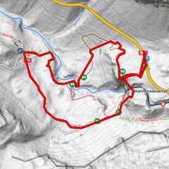
Obertauern - Felseralm - Hirschwandsteig - Südwienerhütte - Flachauwinkl

Randonnée

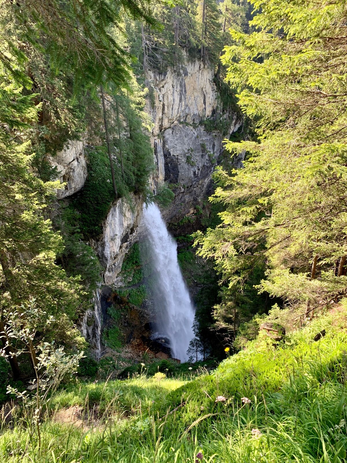
© Tourismusverband Flachau - Flachau Tourismus

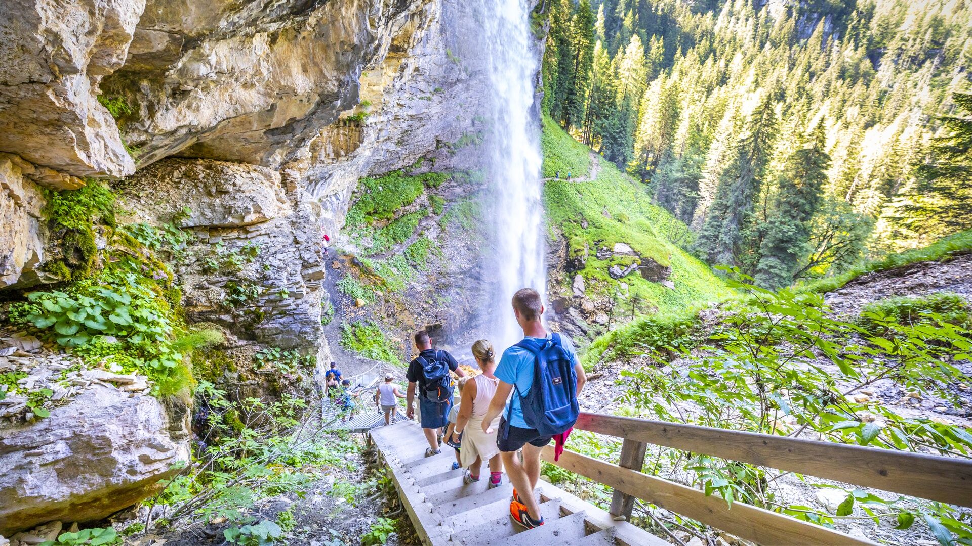
© Tourismusverband Flachau - Flachau Tourismus

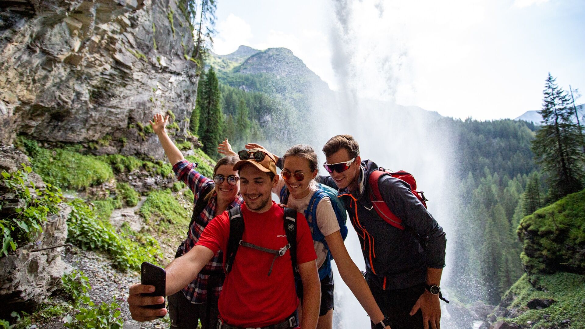
© Tourismusverband Flachau - Flachau Tourismus

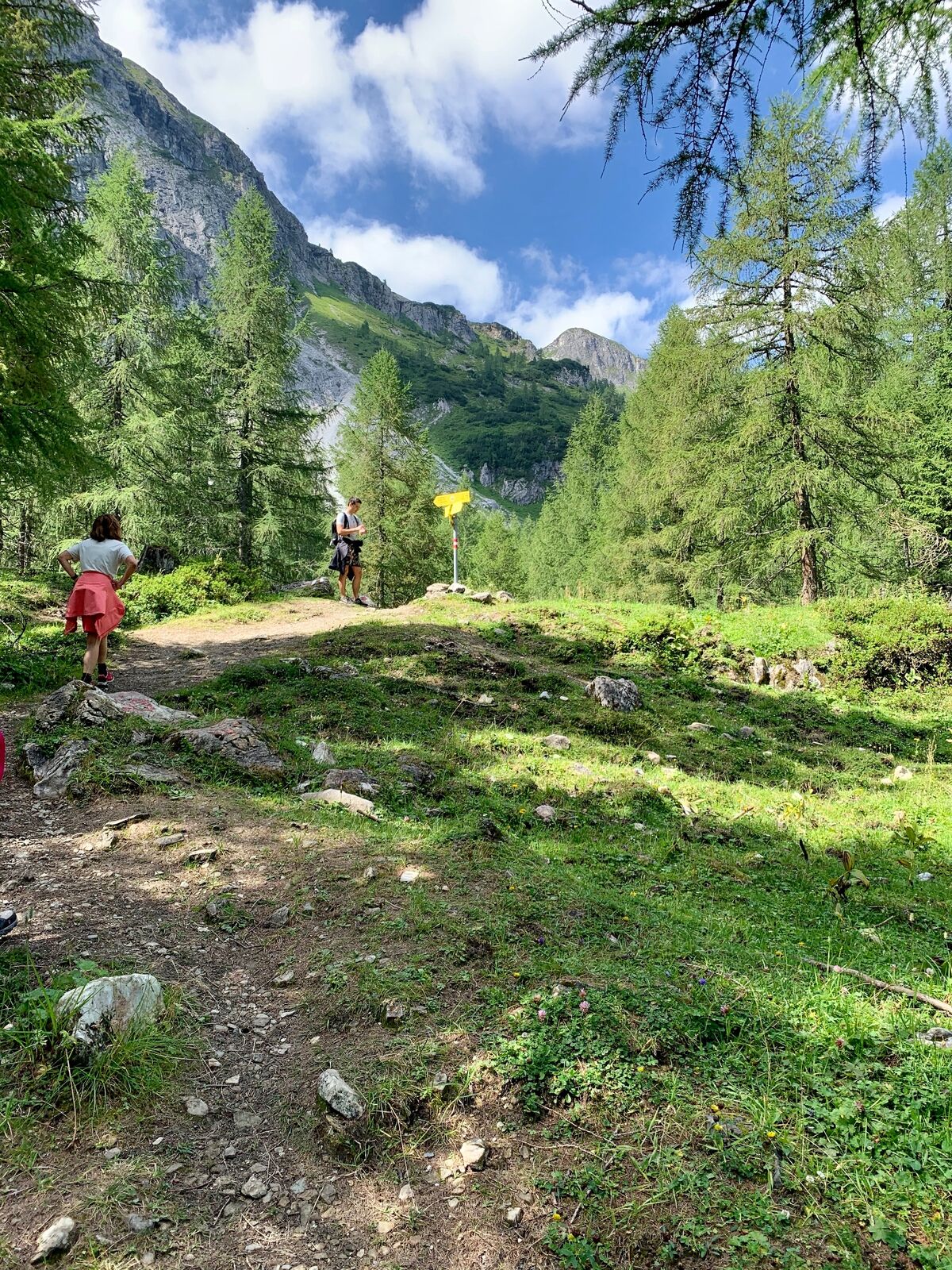
© Tourismusverband Flachau - Flachau Tourismus

© Tourismusverband Flachau - Flachau Tourismus

© Tourismusverband Flachau - Flachau Tourismus

© Tourismusverband Flachau - Flachau Tourismus

© Tourismusverband Flachau - Flachau Tourismus

© Tourismusverband Flachau - Flachau Tourismus

© Tourismusverband Flachau - Flachau Tourismus

- Brève description
-
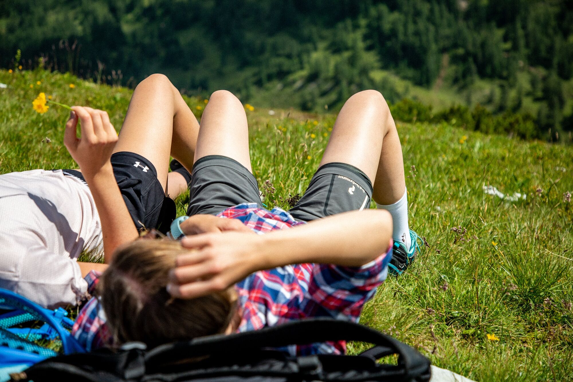
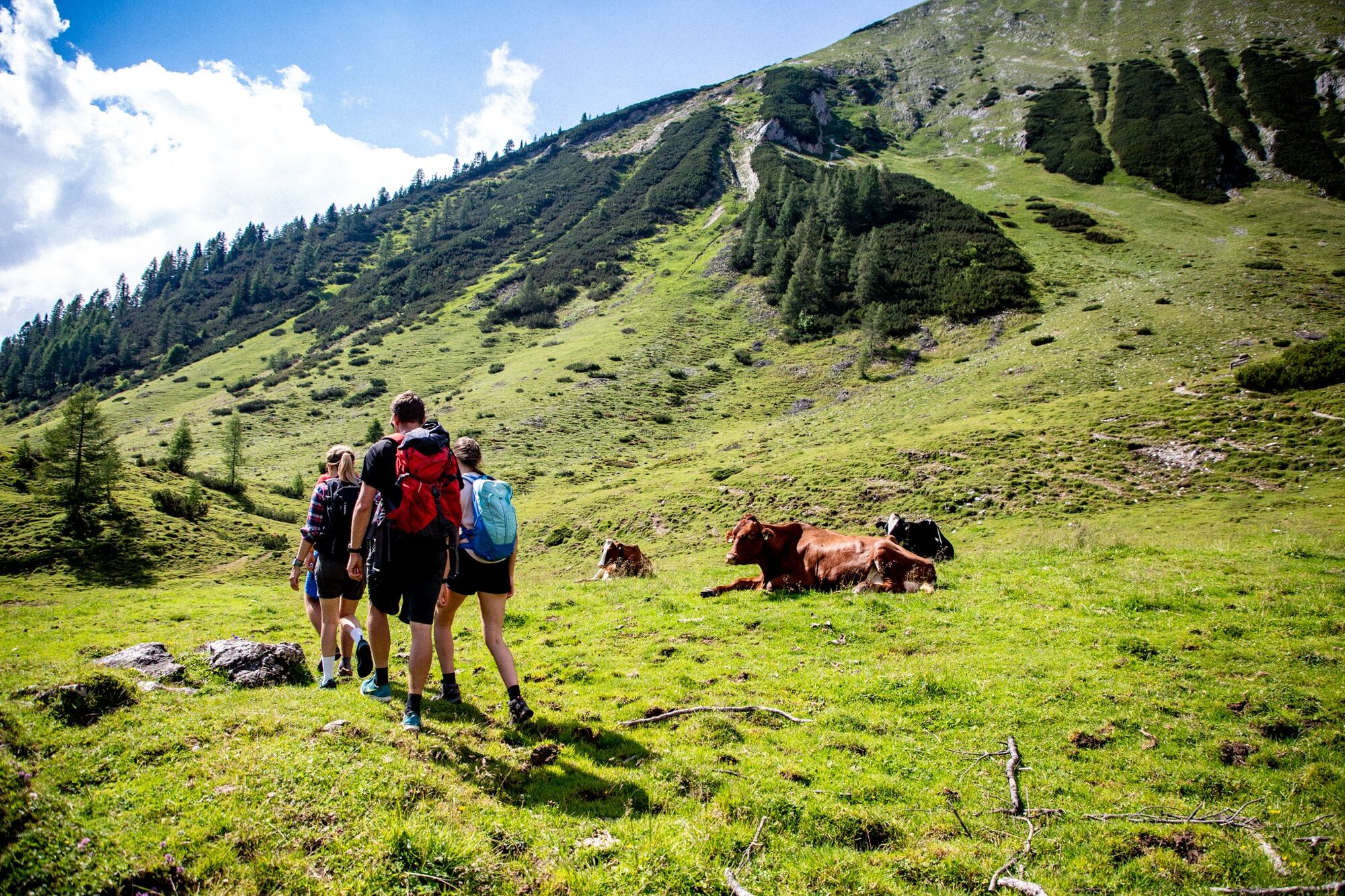
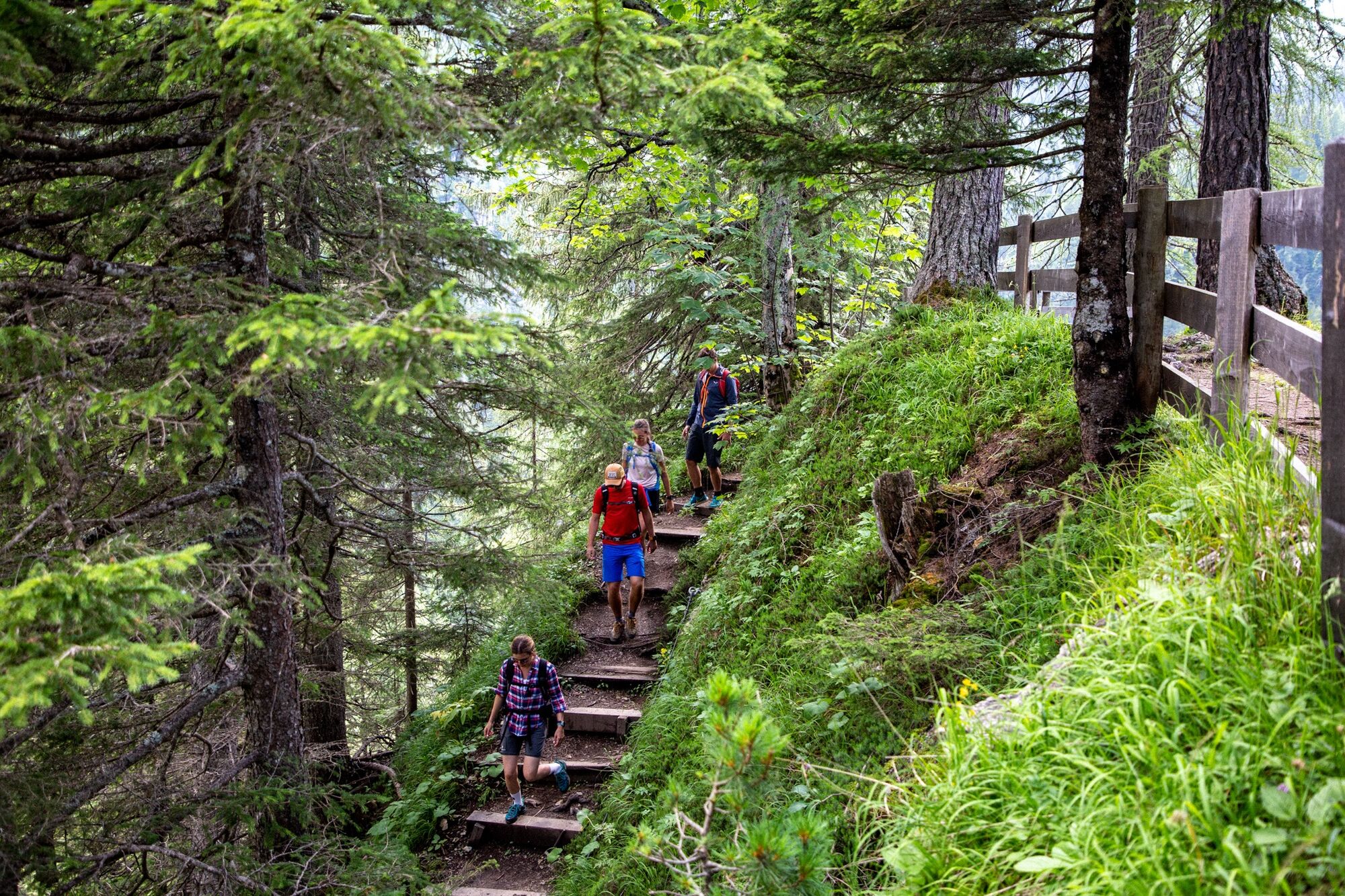
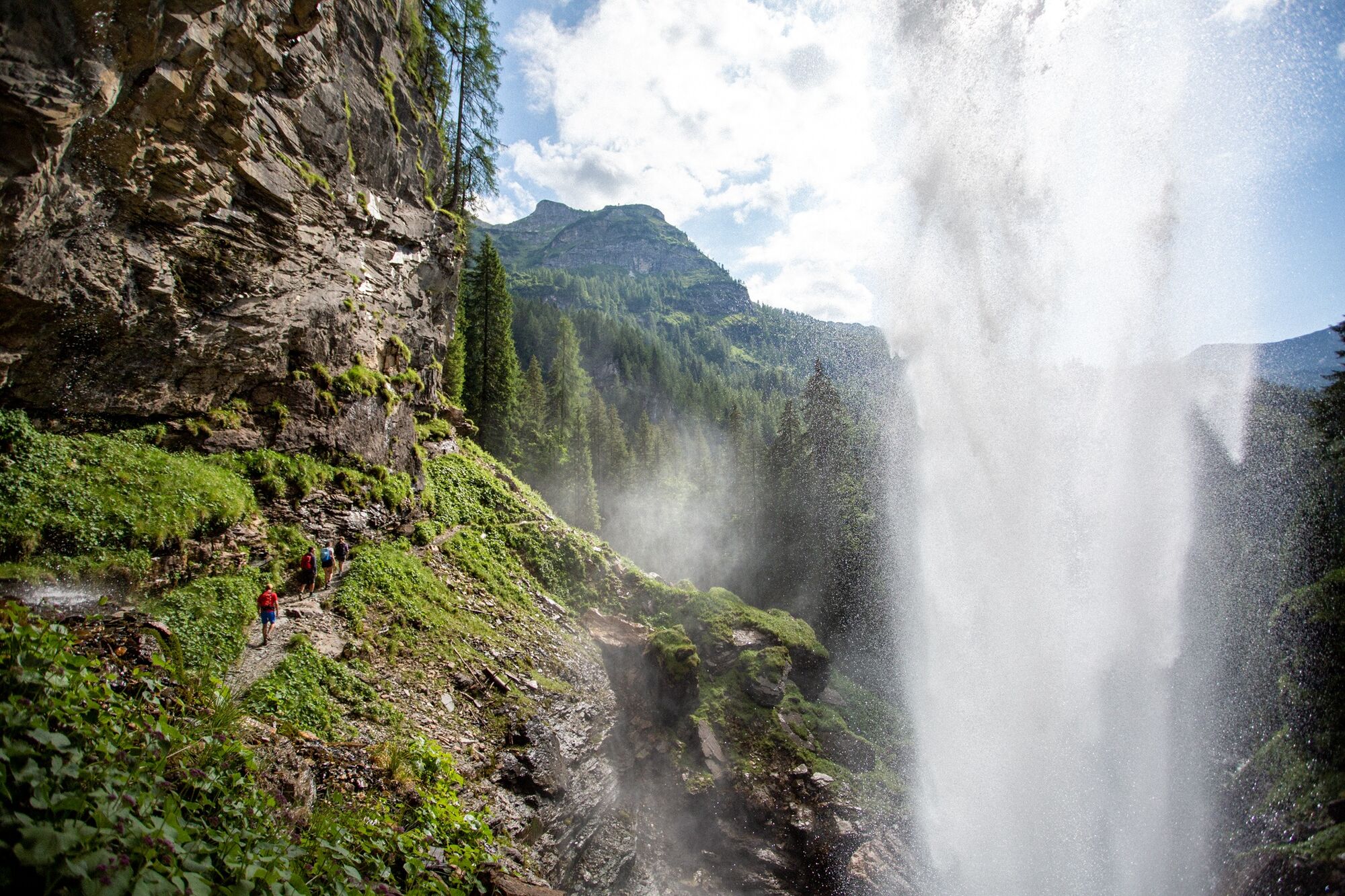
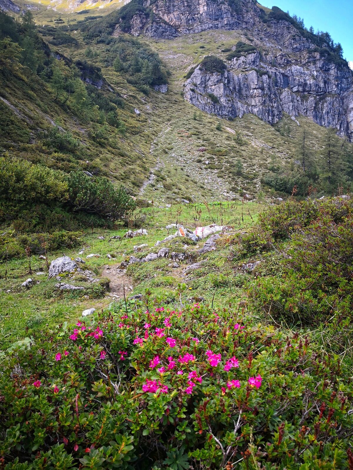
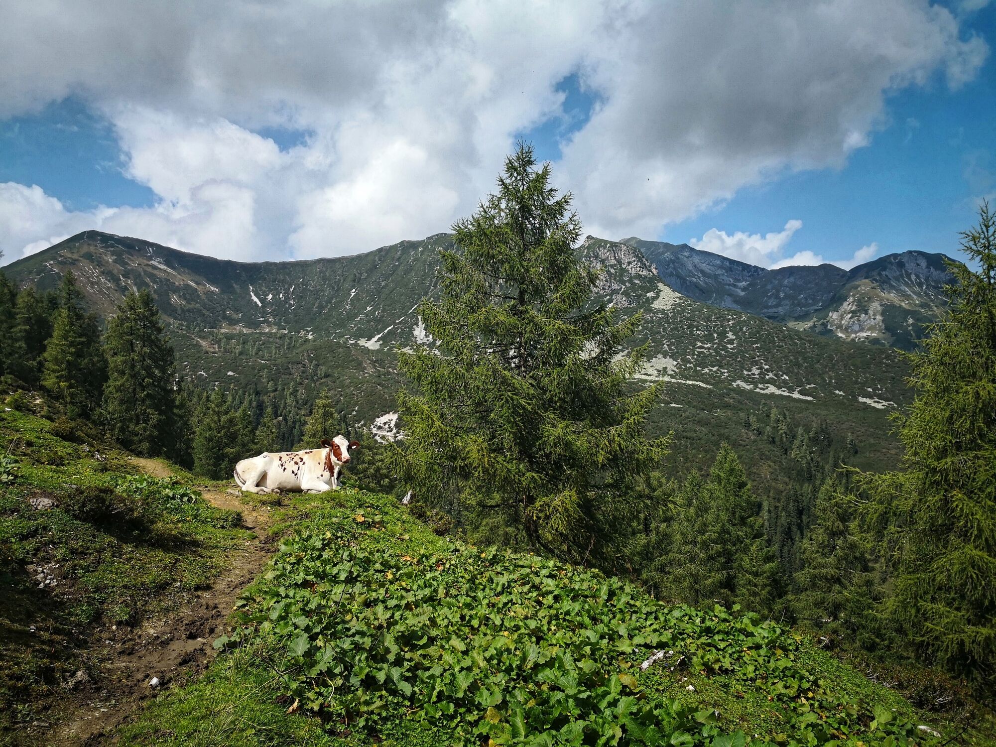
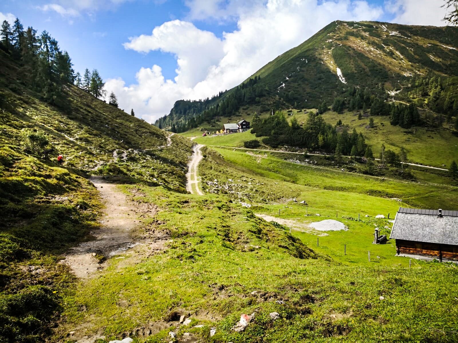
Fantastic hike across some valleys with a wonderful panorama of the surrounding mountain world of the Radstädter Tauern.
- Difficulté
-
moyen
- Évaluation
-
- Parcours
-
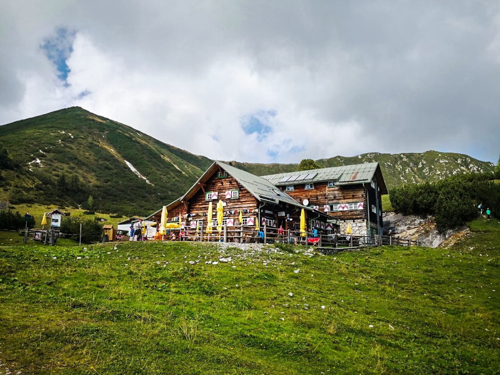
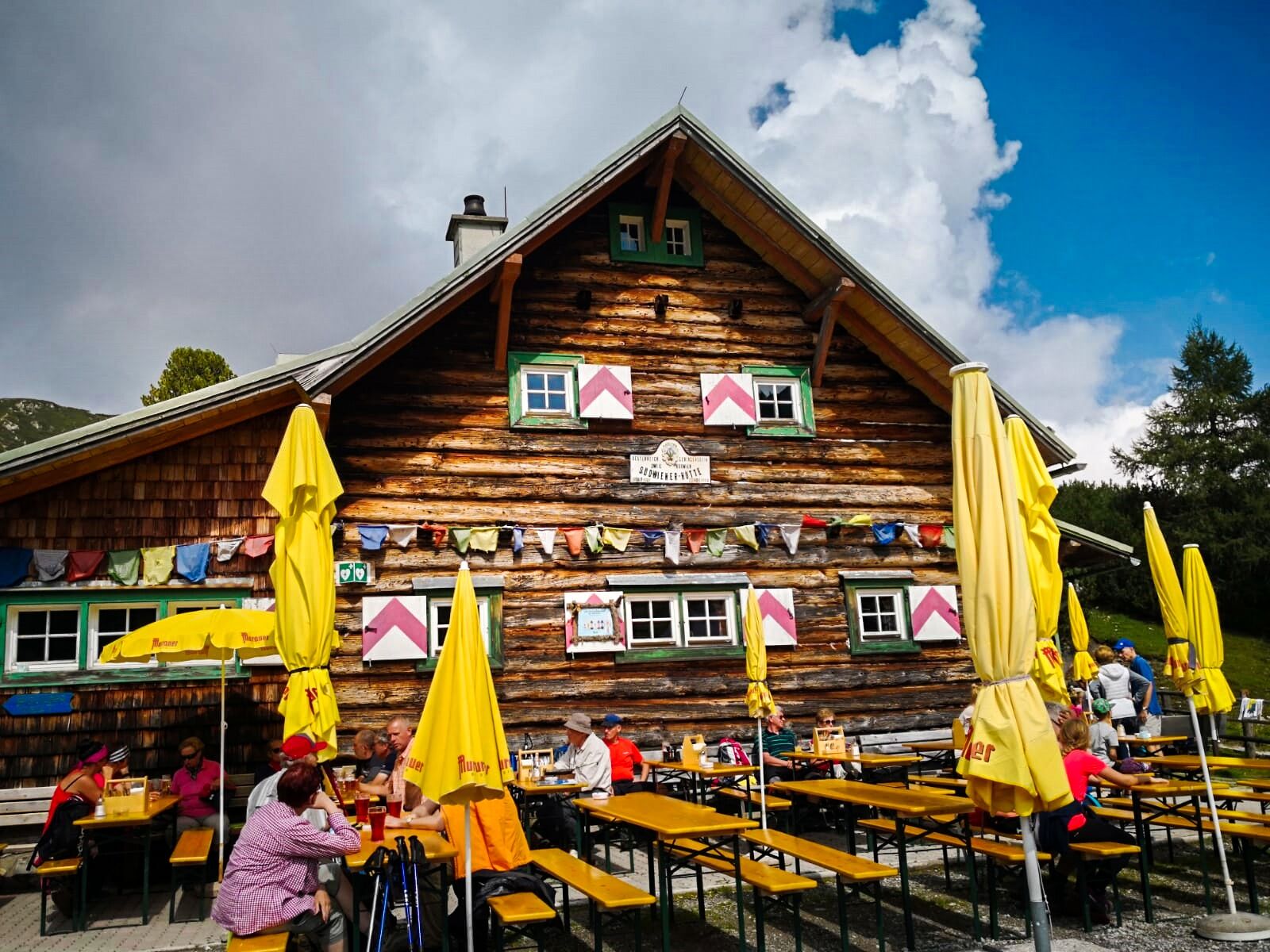
Felseralm1,4 kmSüdwiener Hütte5,6 km
- Meilleure saison
-
janv.févr.marsavrilmaijuinjuil.aoûtsept.oct.nov.déc.
- Hauteur maximale
- 1.795 m
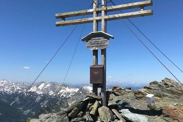
- Point de mire
-
Highway chapel in Flachauwinkl
- Profil en hauteur
-

-

-
AuteurLa randonnée Obertauern - Felseralm - Hirschwandsteig - Südwienerhütte - Flachauwinkl est utilisé par outdooractive.com fourni par.
GPS Downloads


Informations générales
Point de rassemblement
Prometteur
Autres parcours dans les régions
-
Katschberg Lieser-Maltatal
2556
-
Obertauern
1644
-
Untertauern
505