

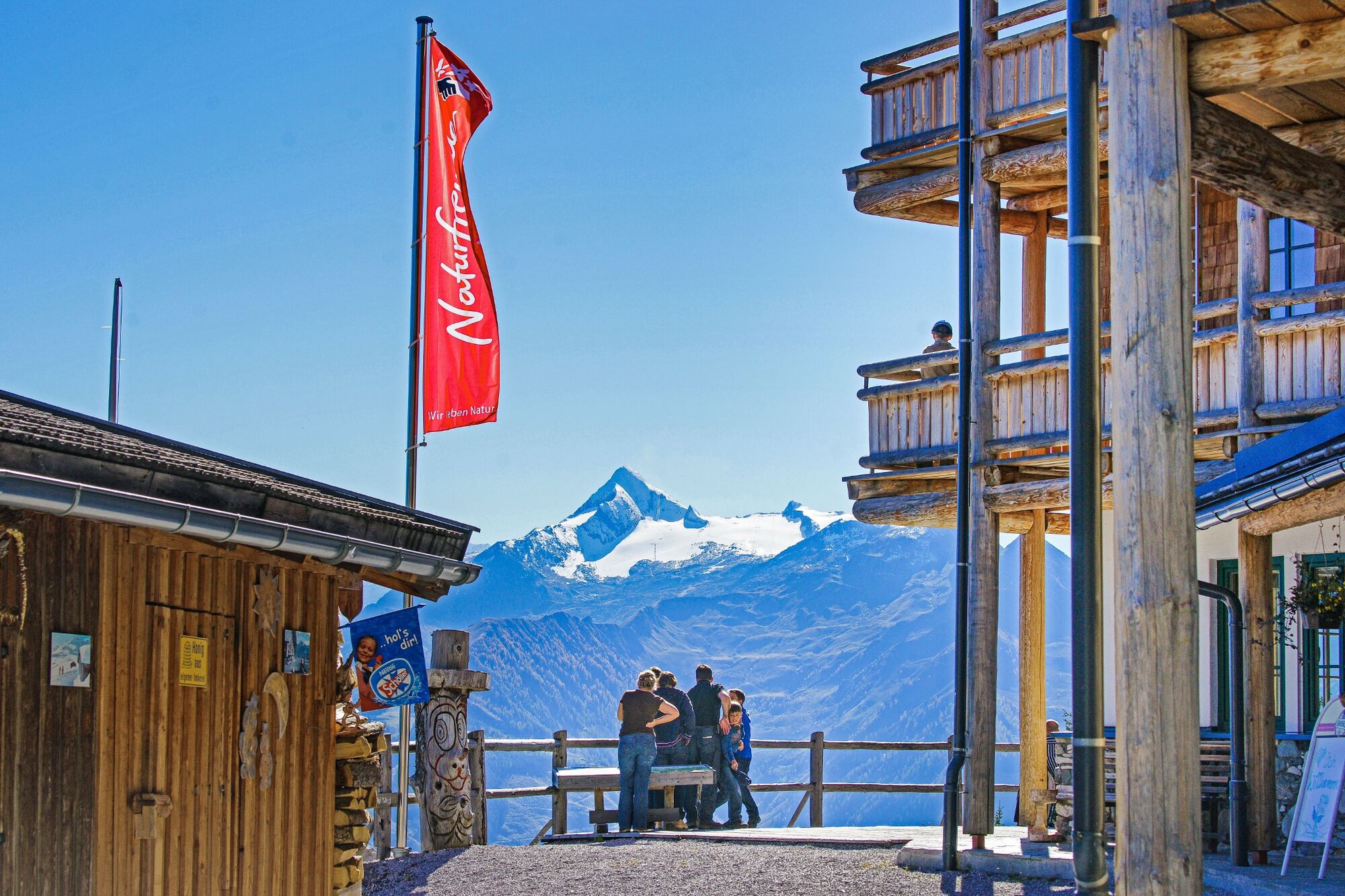
© Piesendorf Niedernsill - Harry Liebmann

© Piesendorf Niedernsill - Harry Liebmann
- Brève description
-
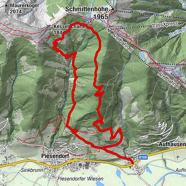
A good 1,000 metres of altitude difference are overcome on the hike to the Pinzgauer Hütte from Fürth.
- Difficulté
-
moyen
- Évaluation
-
- Parcours
-
Gasthaus Matzen0,0 kmFürth0,2 kmPinzgauer Hütte8,4 kmFürth15,0 kmGasthaus Matzen15,1 km
- Meilleure saison
-
janv.févr.marsavrilmaijuinjuil.aoûtsept.oct.nov.déc.
- Hauteur maximale
- 1.726 m
- Point de mire
-
Fürth
- Profil en hauteur
-


- Auteur
-
La randonnée Piesendorf / Fürth: Pinzgauer Hütte est utilisé par outdooractive.com fourni par.
GPS Downloads


Informations générales
Point de rassemblement
Flore
Faune
Prometteur
Autres parcours dans les régions
-
Zell am See - Kaprun
1504
-
Schmittenhöhe
522


