© Piesendorf Niedernsill - Tourismusverband Piesendorf Niedernsill
© Tourismusverband Piesendorf Niedernsill - Ferienregion Nationalpark Hohe Tauern - Tourismusverband Piesendorf Niedernsill
- Brève description
-
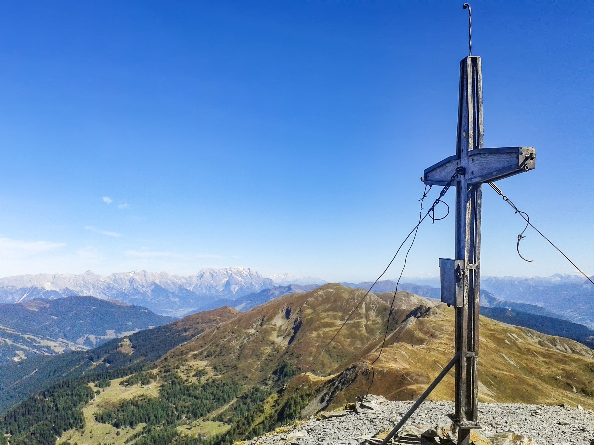
A top-class summit experience: the trail is lined with numerous botanical and faunistic highlights with unique views of many 3000-metre peaks in the Hohe Tauern.
- Difficulté
-
moyen
- Évaluation
-
- Parcours
-
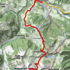
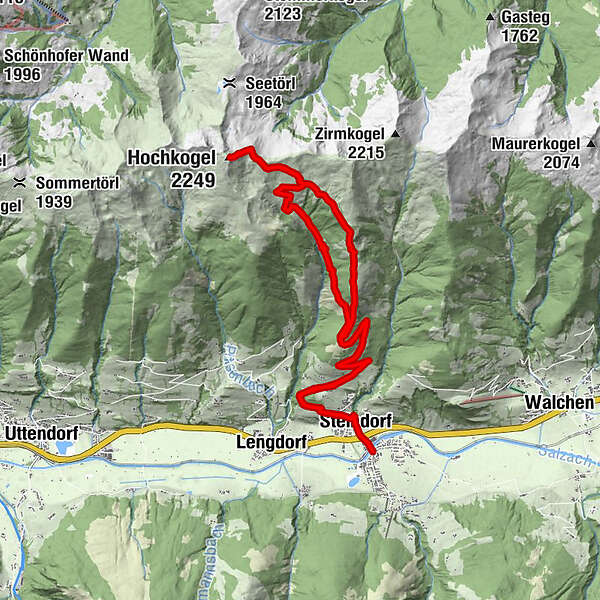
NiedernsillSteindorf0,5 kmGaisbichl2,4 kmHochkogel (2.249 m)12,0 kmKlinglertörl (2.059 m)12,5 kmHochsonnberg Hütte14,2 kmGaisbichl20,5 kmSteindorf22,3 kmNiedernsill22,8 km
- Meilleure saison
-
janv.févr.marsavrilmaijuinjuil.aoûtsept.oct.nov.déc.
- Hauteur maximale
- 2.213 m
- Point de mire
-
Hiking info point Niedernsill
- Profil en hauteur
-

-

-
AuteurLa randonnée Niedernsill: Hochkogel est utilisé par outdooractive.com fourni par.
GPS Downloads


Informations générales
Flore
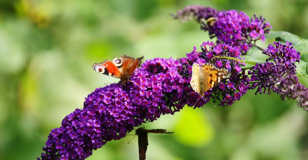
Faune
Prometteur
Autres parcours dans les régions