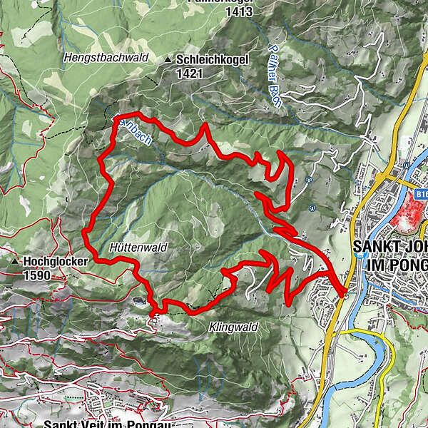
Crossing Hochklingenberg Mountain to the Rettenebenalm

Randonnée

© Tourismusverband St. Johann in Salzburg - Tourismusverband St. Johann
Dates des itinéraires
15,43km
575
- 1.348m
797hm
780hm
04:40h

- Brève description
-
Moderate hike crossing Hochklingenberg Mountain to the Rettenebenalm.
- Difficulté
-
moyen
- Évaluation
-
- Parcours
-
Sankt Johann im Pongau0,0 kmReinbach0,1 kmRettenebenalm (Roslalm)8,3 kmSteg11,6 kmSankt Johann im Pongau15,3 km
- Meilleure saison
-
janv.févr.marsavrilmaijuinjuil.aoûtsept.oct.nov.déc.
- Hauteur maximale
- 1.348 m
- Point de mire
-
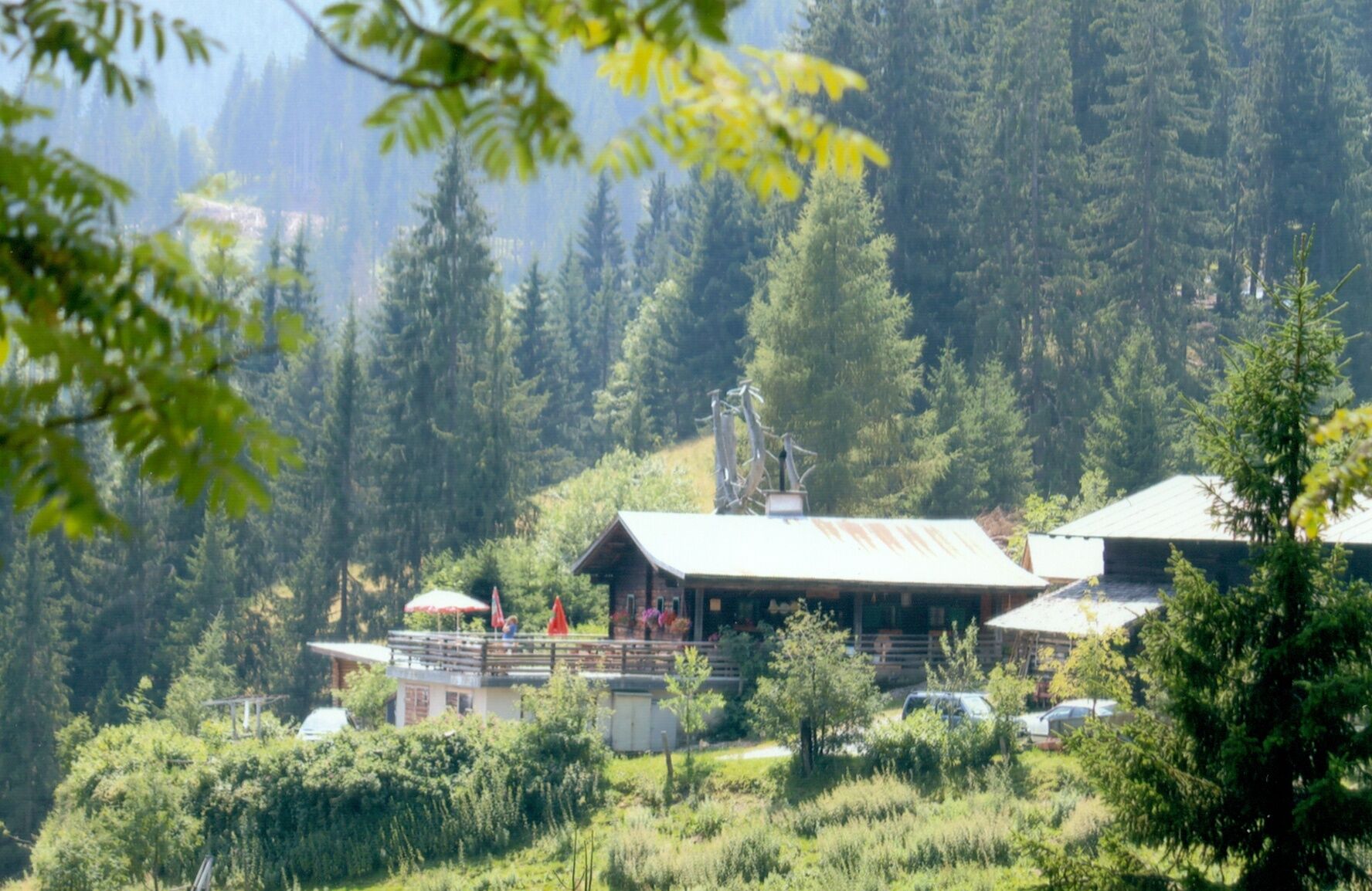
Rettenebenalm
- Profil en hauteur
-

- Auteur
-
La randonnée Crossing Hochklingenberg Mountain to the Rettenebenalm est utilisé par outdooractive.com fourni par.
GPS Downloads


Informations générales
Point de rassemblement
Prometteur
Autres parcours dans les régions


