
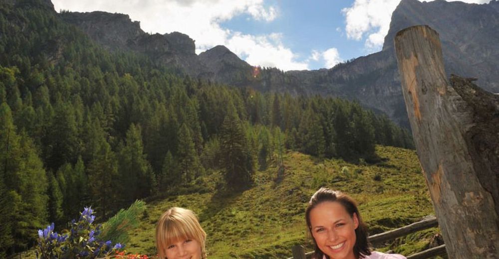
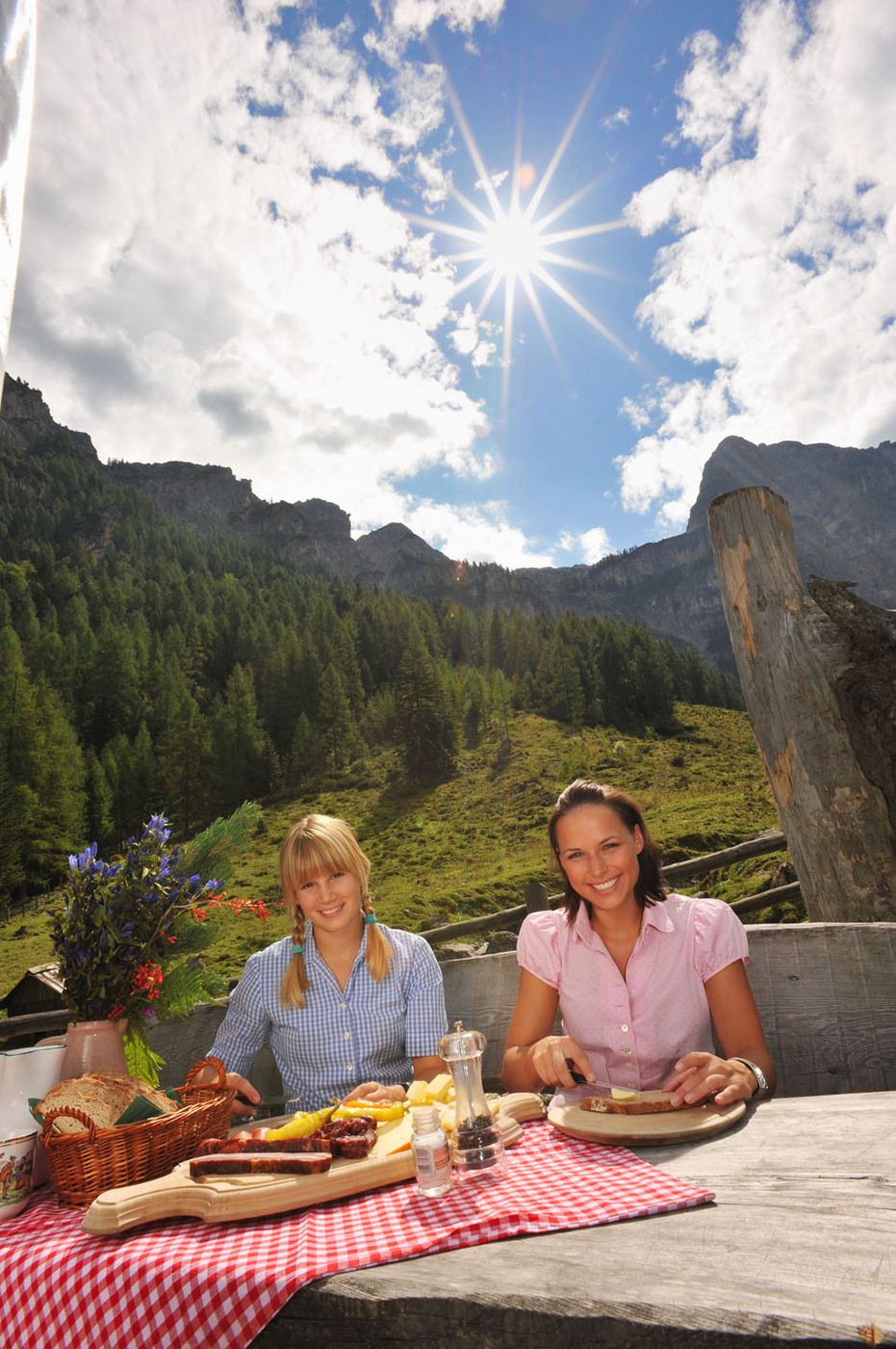
© Flachau Tourismus
© Flachau Tourismus
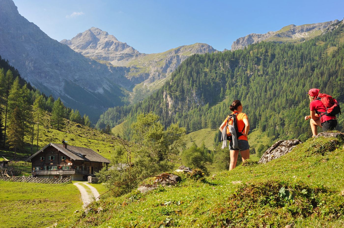
Dates des itinéraires
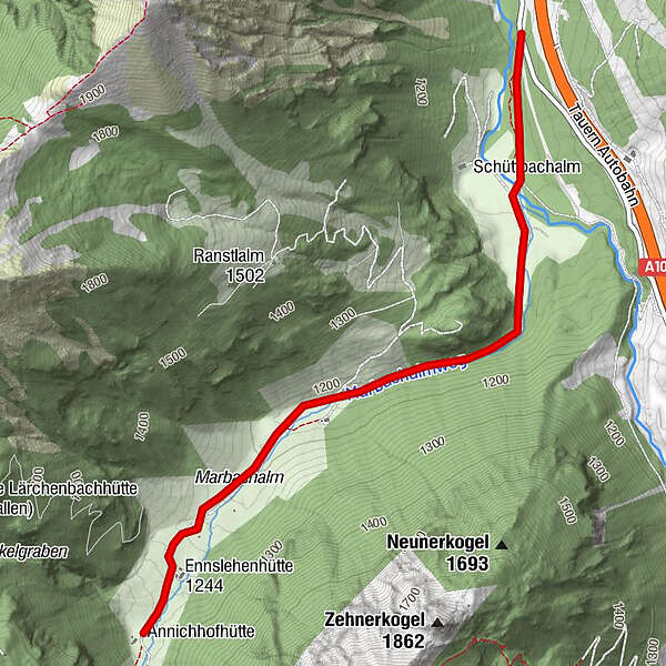
3,22km
1.107
- 1.267m
149hm
01:30h
- Brève description
-
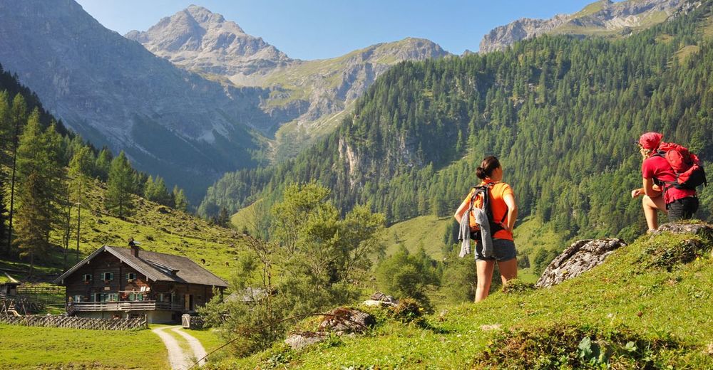
familienfreundliche Wanderung, auch mit Kinderwagen bzw. mit Kleinkindern möglich
- Évaluation
-
- Point de départ
-
Parkplatz Marbachtal
- Parcours
-
Hintere Marbachalm2,9 km
- Hauteur maximale
- 1.267 m
- Repos/Rassembler
-
Prechtlhütte, Ennslehenhütte und Anichhofhütte
- Cartes
-
erhältlich beim Tourismusverband Flachau, info@flachau.com
GPS Downloads


Nature du chemin
Asphalte
Gravier
Pelouse
Forêt
Rocher
Exposé
Autres parcours dans les régions
-
Katschberg Lieser-Maltatal
2574
-
Salzburger Sportwelt
2210
-
Flachau
621


