

© Saalbach Hinterglemm - TVB Saalbach Hinterglemm

© Saalbach Hinterglemm - Hans Eder
- Brève description
-
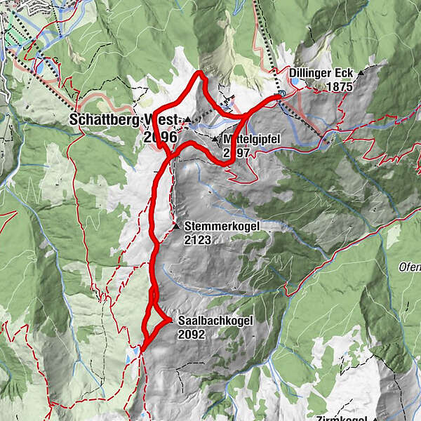
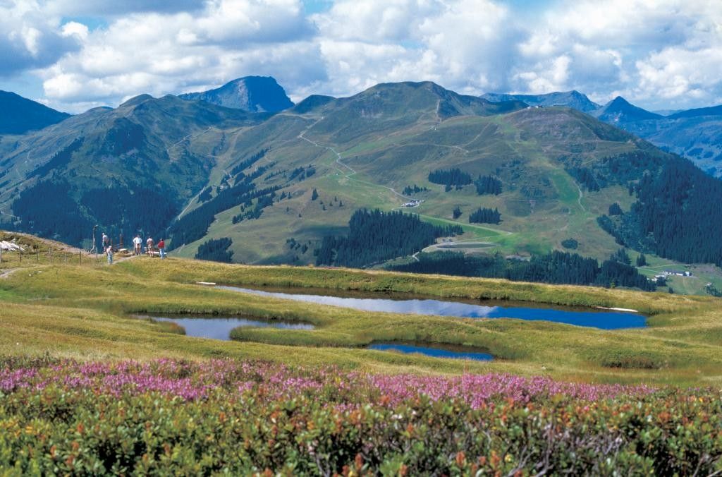
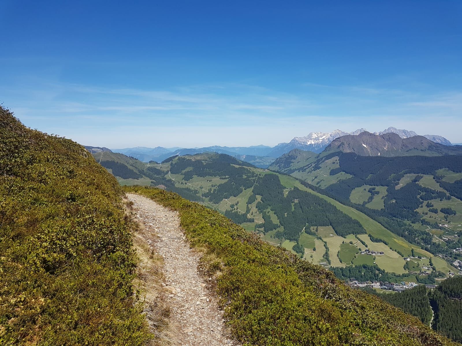
High circular route with wonderful views of the surrounding mountains and Glemm Valley
- Difficulté
-
moyen
- Évaluation
-
- Parcours
-
SkyRest0,0 kmSaalbachkogel (2.092 m)4,2 kmSeetörl (1.964 m)4,7 kmSkyRest10,0 kmSchattberg-Ost (2.018 m)10,2 km
- Meilleure saison
-
janv.févr.marsavrilmaijuinjuil.aoûtsept.oct.nov.déc.
- Hauteur maximale
- 2.051 m
- Point de mire
-
Schattberg X-press Saalbach top station
- Profil en hauteur
-

-

-
AuteurLa randonnée Schattberg Höhenrundweg with Saalbachkogel est utilisé par outdooractive.com fourni par.
GPS Downloads


Informations générales
Prometteur
Autres parcours dans les régions


