
© (c) Wagrain-Kleinarl Tourismus

© (c) Wagrain-Kleinarl Tourismus

© (c) Wagrain-Kleinarl Tourismus
© Wagrain-Kleinarl Tourismus - Erwin Trampitsch
- Brève description
-
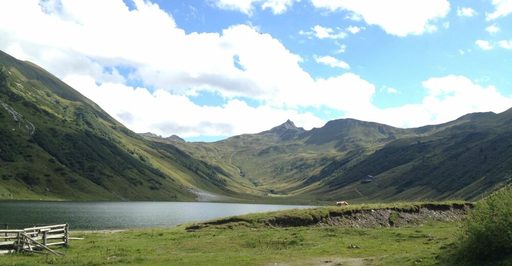
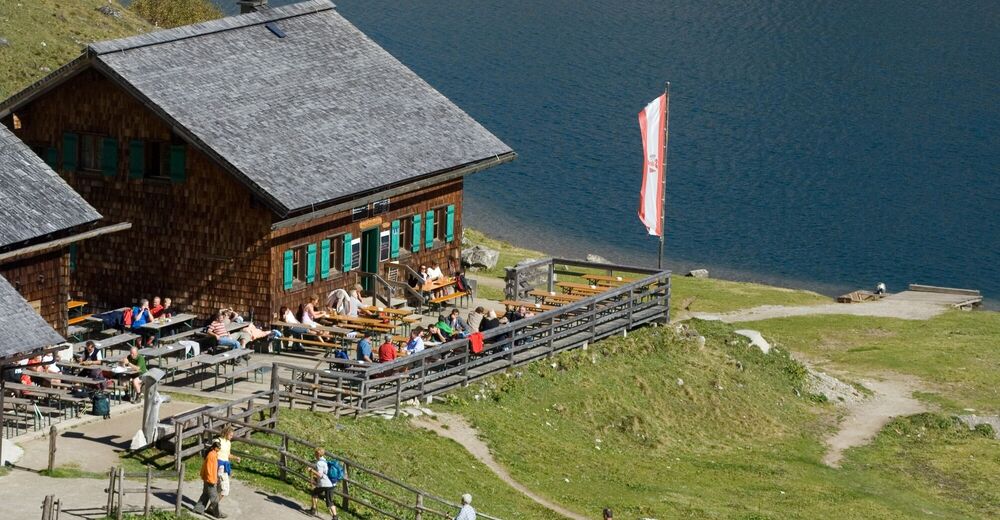
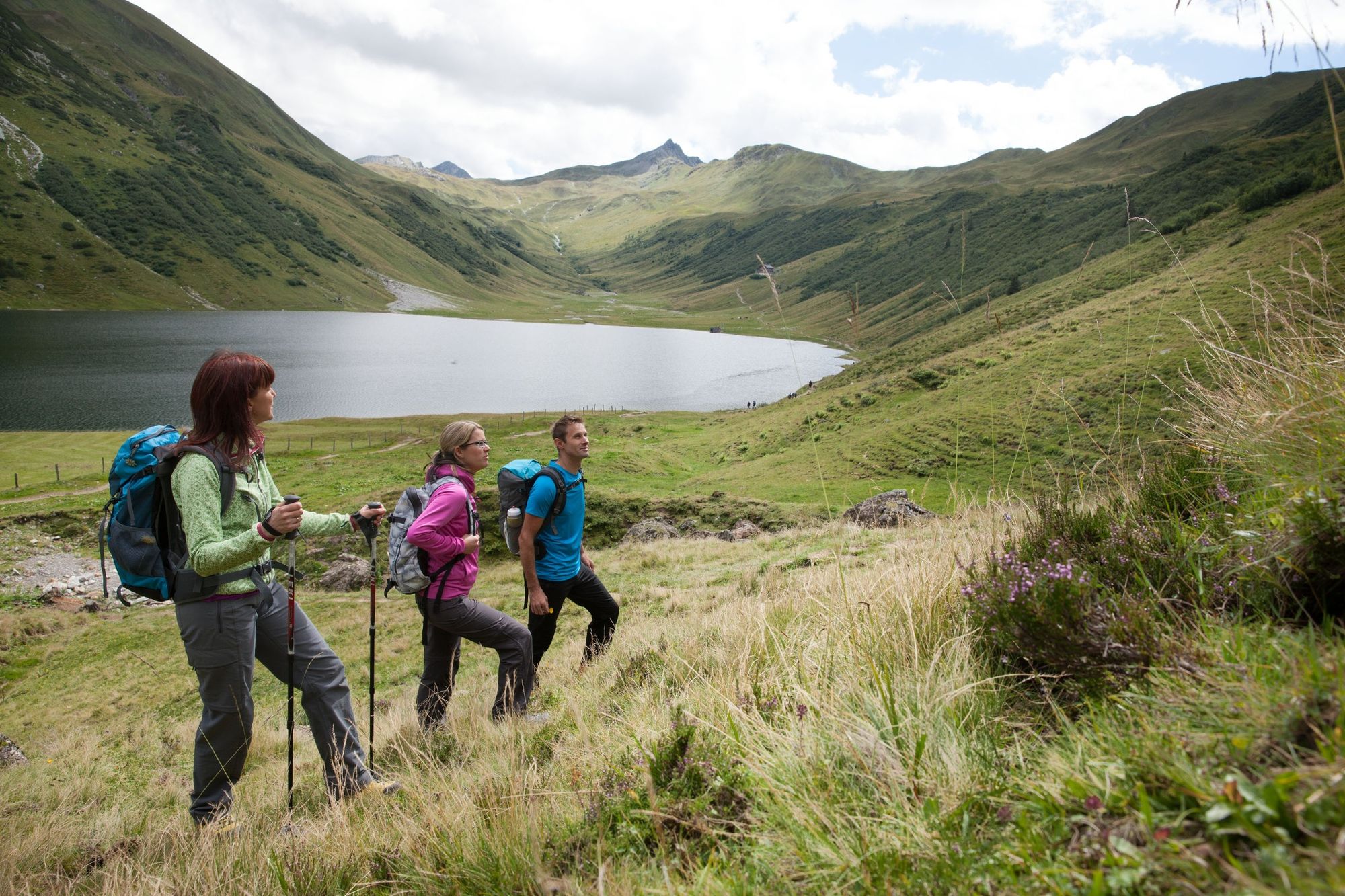
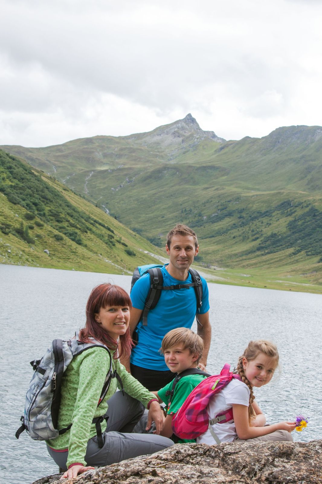
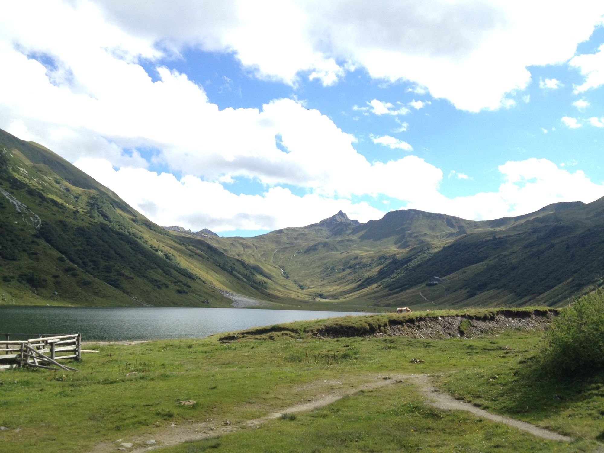
Wonderful and promising hike from the Jägersee or alternatively the Schwabalm, over the Tappenkarsee to the Glingspitze.
- Difficulté
-
moyen
- Évaluation
-
- Parcours
-
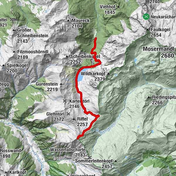
Tappenkarsee Alm3,6 kmWurmkogel (2.151 m)7,9 kmGlingspitze (2.433 m)9,4 kmWurmkogel (2.151 m)10,8 kmTappenkarsee Alm15,3 kmMaterialseilbahn Tappenkaralm18,6 km
- Meilleure saison
-
janv.févr.marsavrilmaijuinjuil.aoûtsept.oct.nov.déc.
- Hauteur maximale
- 2.416 m
- Point de mire
-
summit Glingspitze (2433m)
- Profil en hauteur
-


-

-
AuteurLa randonnée Glingspitze (2433m) est utilisé par outdooractive.com fourni par.
GPS Downloads


Informations générales
Point de rassemblement
Prometteur
Autres parcours dans les régions


