Dates des itinéraires
4,41km
801 - 921m
Distance
164hm
181hm
Montée
01:29h
 
Durée
Brève description

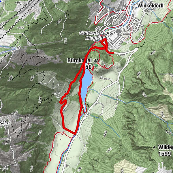
Along Klammsee to the mountain inn Schneckenreith

Difficulté
facile
Évaluation
Technique
Endurance
Paysage
Résultat
Parcours
Werkssiedlung
0,2 km
Werkssiedlung
4,1 km

Meilleure saison
janv.
févr.
mars
avril
mai
juin
juil.
août
sept.
oct.
nov.
déc.
Hauteur maximale
921 m
Point de mire

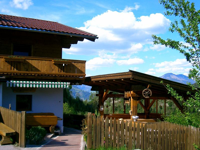
Almwirtschaft Schneckenreith farm

Profil en hauteur

Auteur
La randonnée Schneckenreithweg est utilisé par outdooractive.com fourni par.

5,0
Évaluation globale

5

100

%

4

0

%

3

0

%

2

0

%

1

0

%

GPS Downloads
  • GPX GPS Exchange Format (XML)
  • KML Google Earth, Google Maps
Codes de téléchargement QR pour les téléphones portables

Randonnées populaires dans la région

Kitzsteinhorn 3.203 m - Ascent to the peak

difficile Randonnée
0,3km | 150hm | 00:45h

Schwalbenwand Nr. 80, 81, 82

moyen Randonnée
12,99km | 818hm | 05:00h

Saalachtaler Höhenweg EAST (Asitz -Biberg)

moyen Randonnée
13,07km | 299hm | 04:30h

Mittersill - Hintersee und Plattachsee

Randonnée
8,83km | 886hm | 04:00h