
- Brève description
-
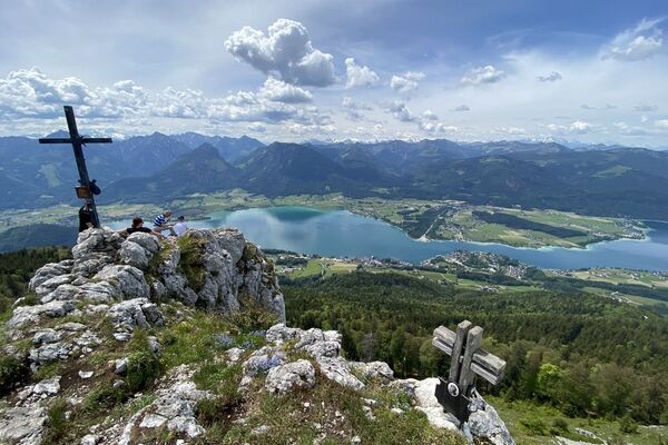
Round hike through a beautiful wooded area on the Pass Gschütt, return via the Old Gschüttstrasse to Russbach. Right at the beginning of the trail wonderful view back to the village and the Tennengebirge.
- Difficulté
-
facile
- Évaluation
-
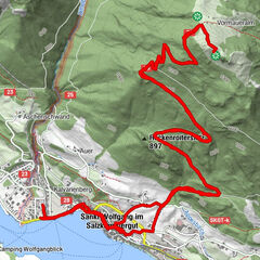
- Parcours
-
RußbachsaagPfarrkirche zum Hl. Kreuz0,0 kmKirchenwirt0,0 kmSchattau5,9 kmKirchenwirt6,4 kmRußbachsaag6,4 kmPfarrkirche zum Hl. Kreuz6,5 km
- Meilleure saison
-
janv.févr.marsavrilmaijuinjuil.aoûtsept.oct.nov.déc.
- Hauteur maximale
- 992 m
- Point de mire
-
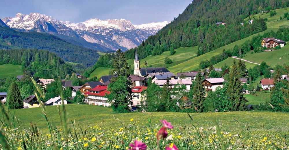
Village Square Russbach
- Profil en hauteur
-


- Auteur
-
La randonnée Russbach: Höhenweg (5 Punkte) est utilisé par outdooractive.com fourni par.
GPS Downloads


Informations générales
Prometteur
Autres parcours dans les régions