Dates des itinéraires
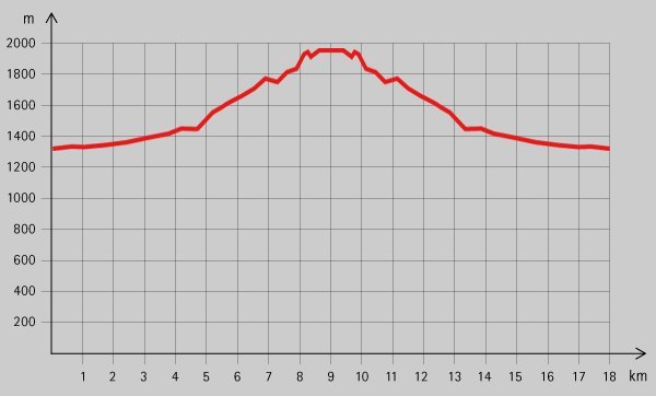
8,2km
1.319
- 1.976m
622hm
622hm
05:00h
- Brève description
-
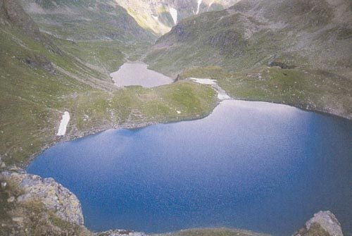
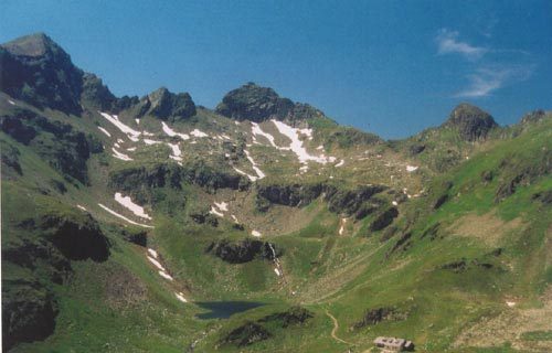
Tolle Wanderung mit der Landawirseehütte (und den Landawirseen) als Ziel.
- Difficulté
-
moyen
- Évaluation
-
- Point de départ
-
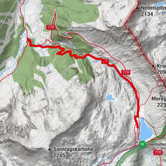
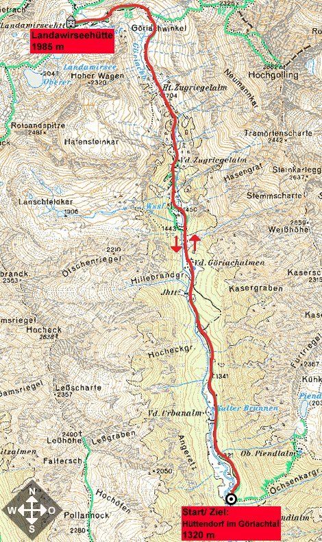
Hüttendorf im Göriachtal (1320 m)
- Parcours
-
Vordere Göriachalmen3,2 kmHansalhütte3,3 kmVordere Zugriegelalm5,0 kmHintere Zugriegelalm (verf.) (1.704 m)5,8 km
- Meilleure saison
-
janv.févr.marsavrilmaijuinjuil.aoûtsept.oct.nov.déc.
- Hauteur maximale
- 1.976 m
- Repos/Rassembler
-
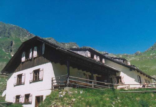
Landawirseehütte
- Cartes

GPS Downloads


Autres parcours dans les régions
-
Schladming - Dachstein
3001
-
Lungau - Ferienregion
870
-
Weißpriach
207