
- Brève description
-
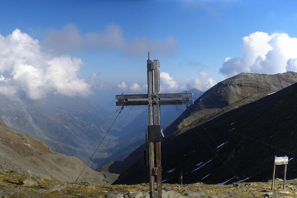
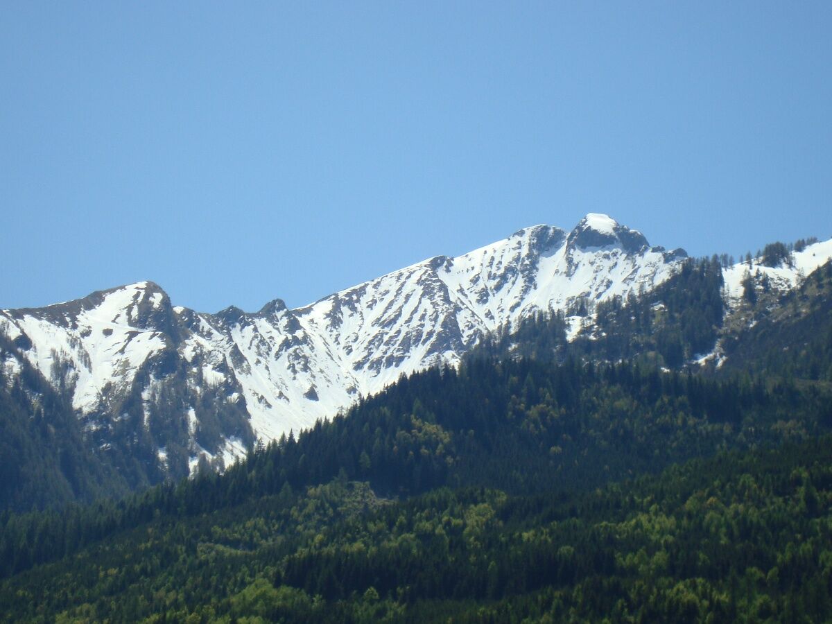
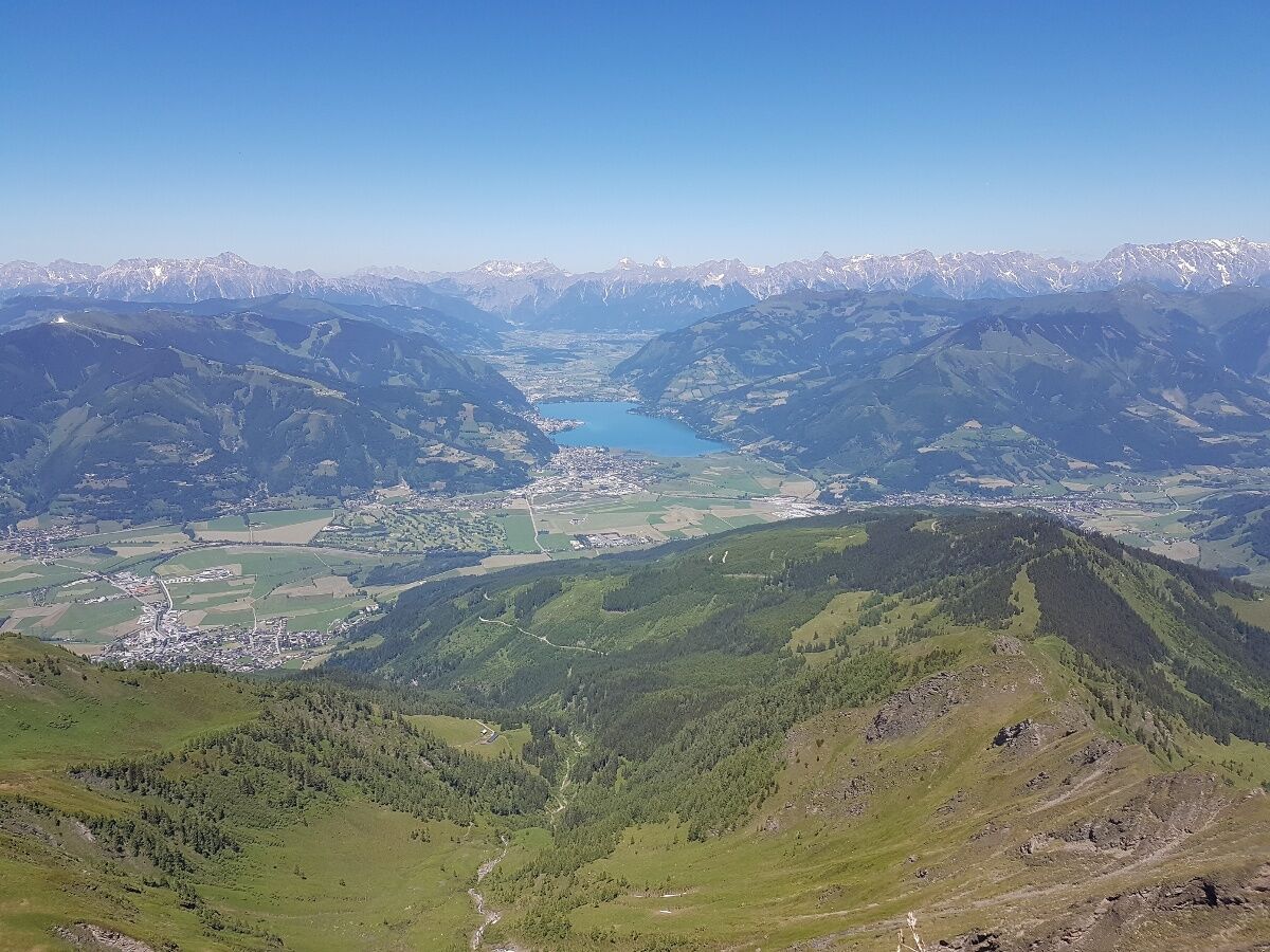
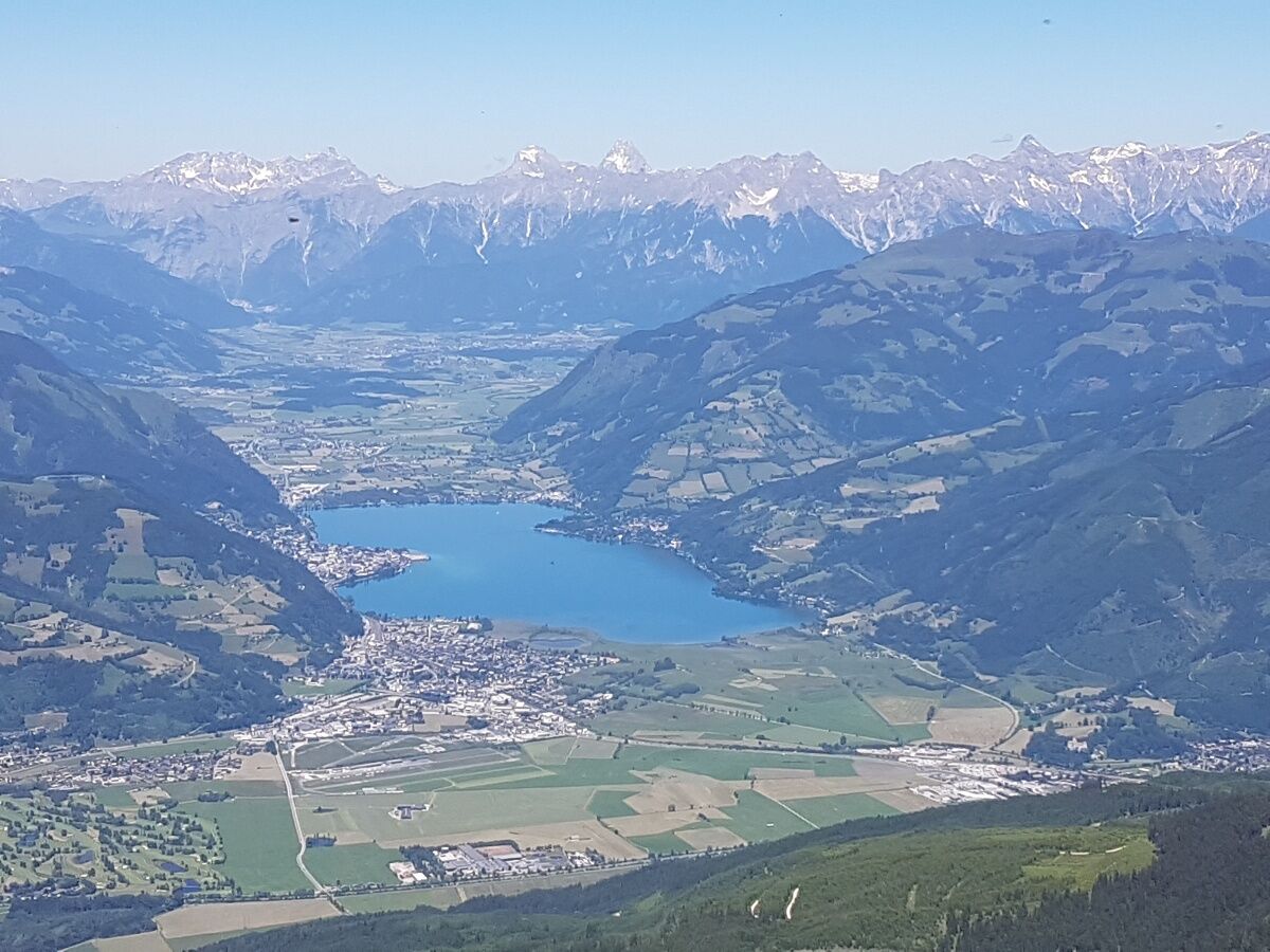
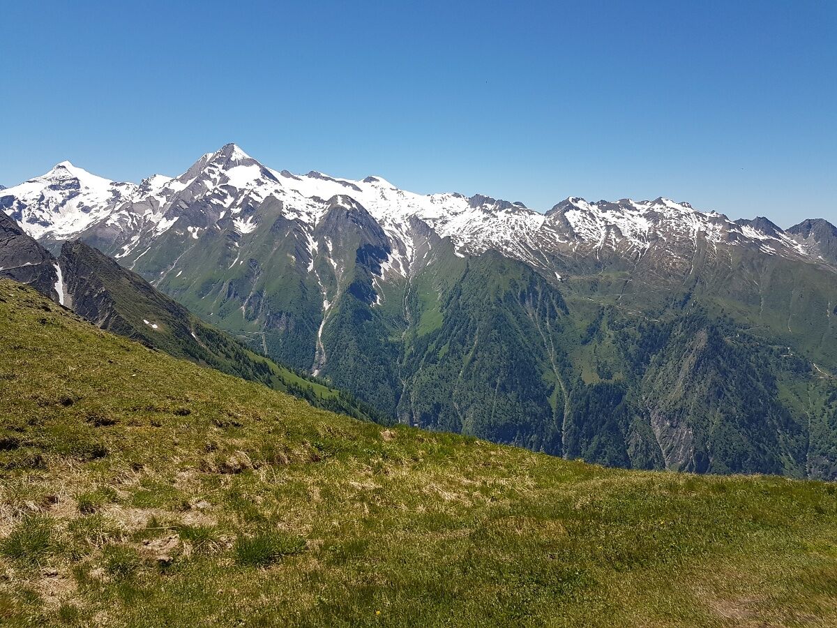
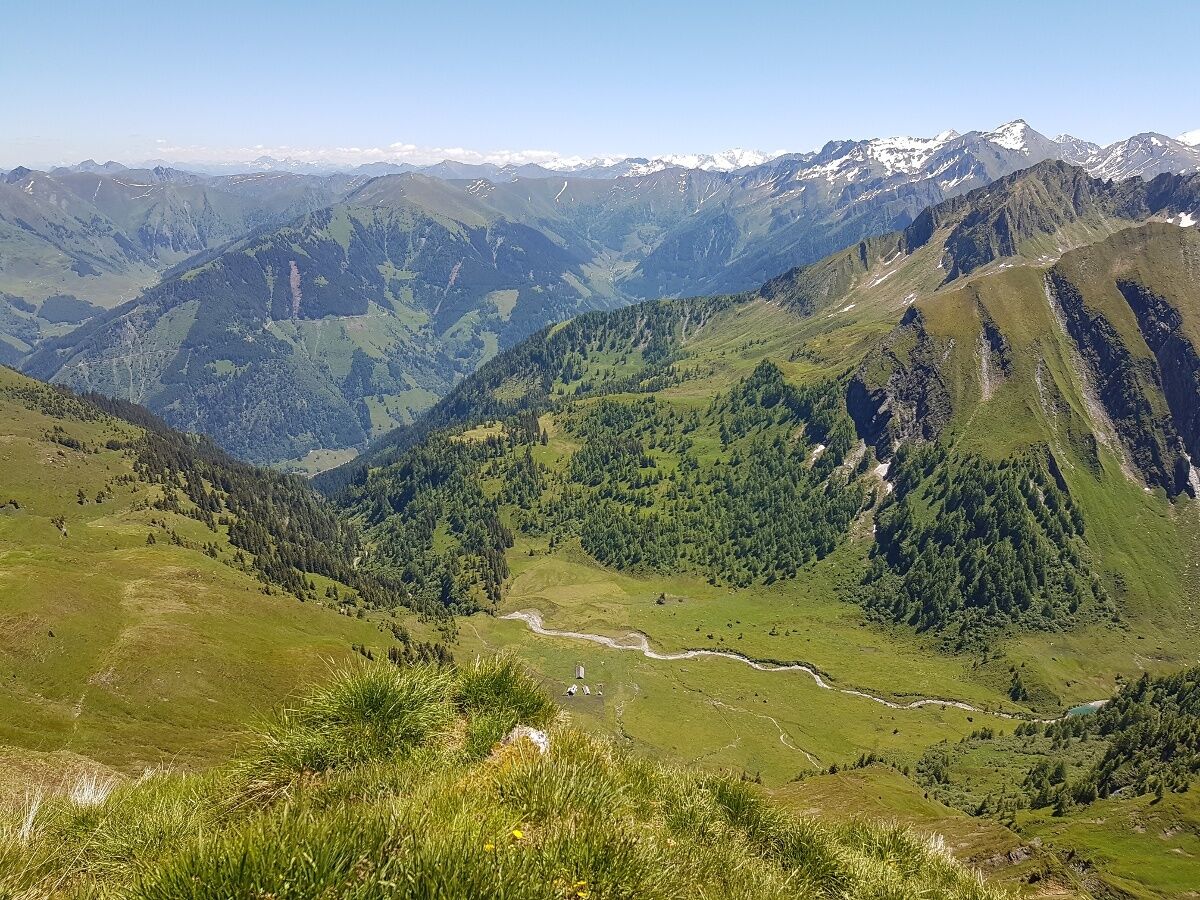
peak tour to the 2470 m high Imbachhorn. Circular walk in Kaprun or down over the Gleiwitzerhütte (overnight stay possible) to Fusch.
- Difficulté
-
moyen
- Évaluation
-
- Parcours
-
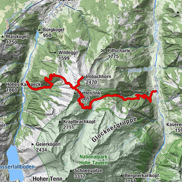
Brandlscharte (2.371 m)6,0 kmImbachhorn (2.470 m)6,8 kmGleiwitzer Hütte9,6 kmHirzbachwasserfälle16,3 kmFusch an der Großglocknerstraße17,6 km
- Meilleure saison
-
janv.févr.marsavrilmaijuinjuil.aoûtsept.oct.nov.déc.
- Hauteur maximale
- 2.405 m
- Point de mire
-
variabel
- Profil en hauteur
-


-

-
AuteurLa randonnée Imbachhorn est utilisé par outdooractive.com fourni par.
GPS Downloads


Informations générales
Point de rassemblement
Flore
Faune
Prometteur
Autres parcours dans les régions