© Wagrain-Kleinarl Tourismus - Lorenz Masser

© Verein Erz der Alpen - Sabine Zölß

© Wagrain-Kleinarl Tourismus - Lorenz Masser

© Wagrain-Kleinarl Tourismus - Lorenz Masser

© Wagrain-Kleinarl Tourismus - Lorenz Masser

© Wagrain-Kleinarl Tourismus - Lorenz Masser

© Wagrain-Kleinarl Tourismus - Lorenz Masser

- Brève description
-
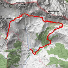
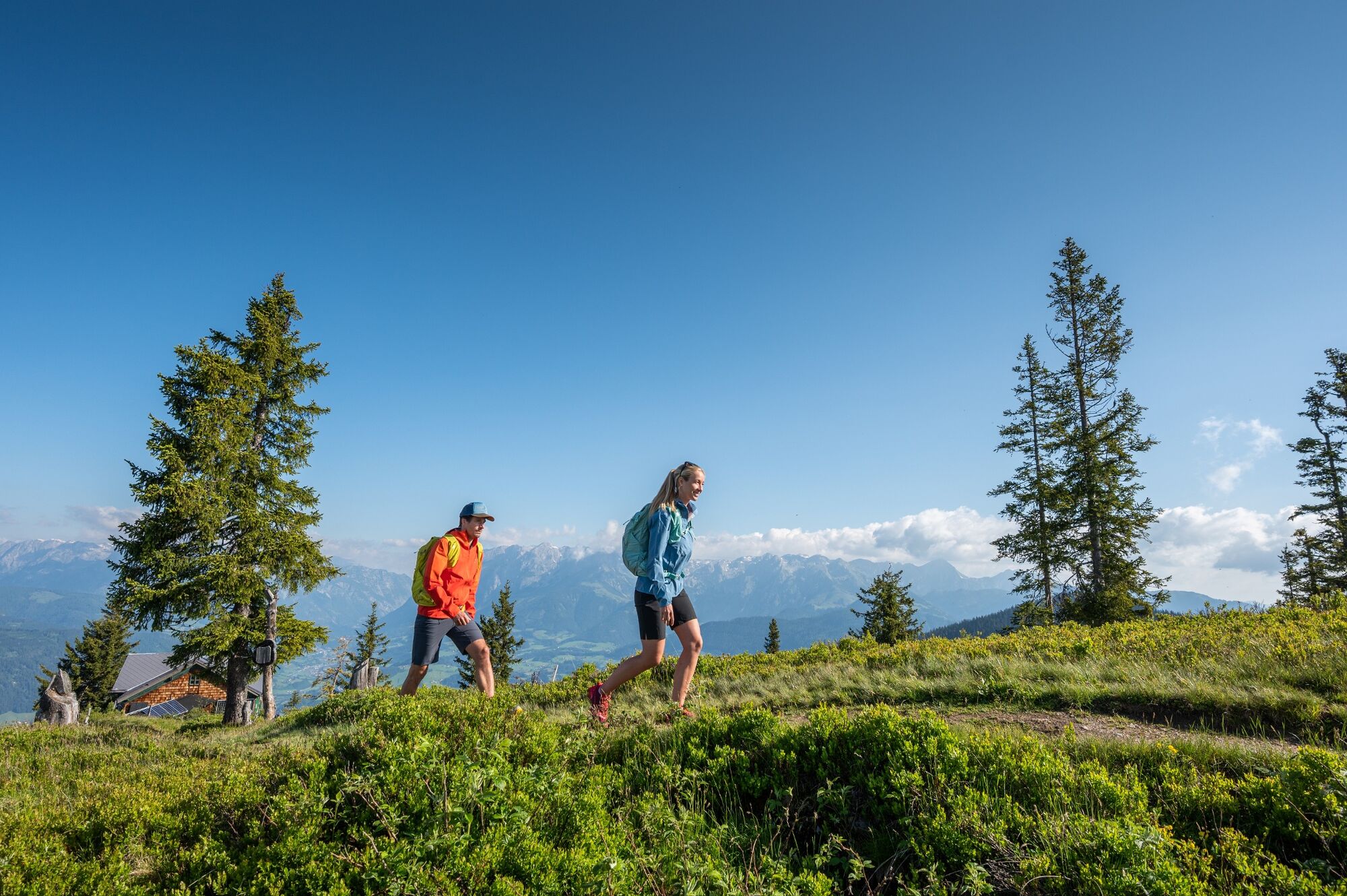
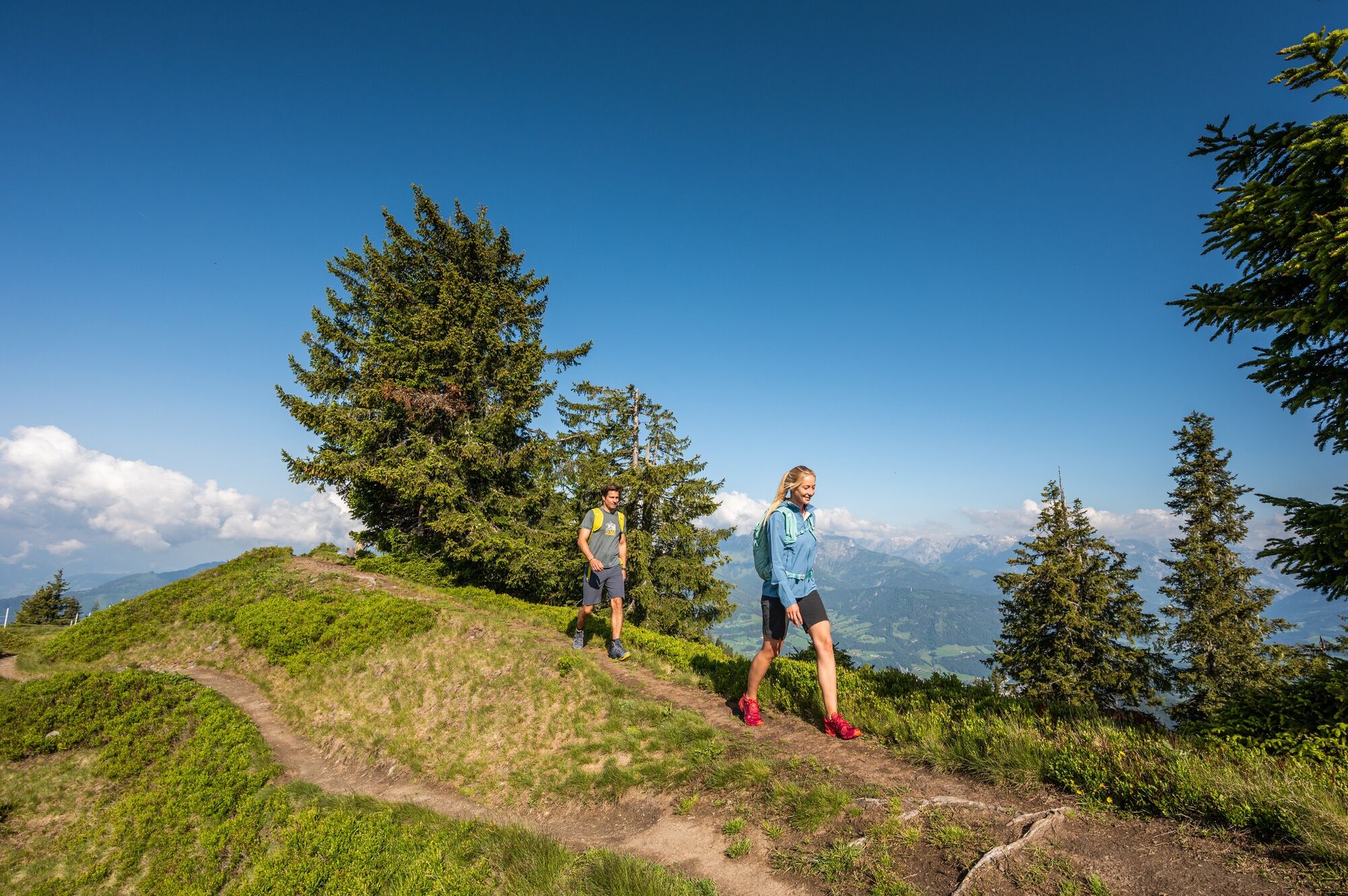
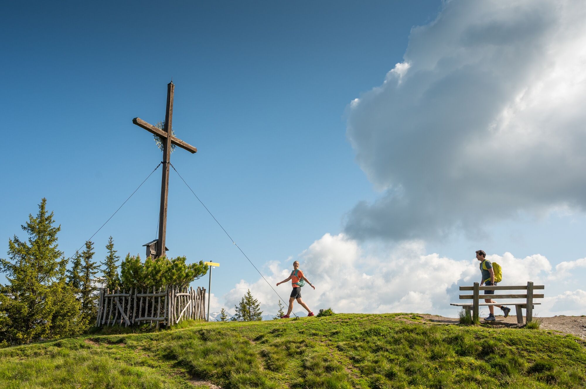
Easy hike through the forest and across meadows to the panoramic summit of the Hochgründeck.
- Difficulté
-
moyen
- Évaluation
-
- Parcours
-
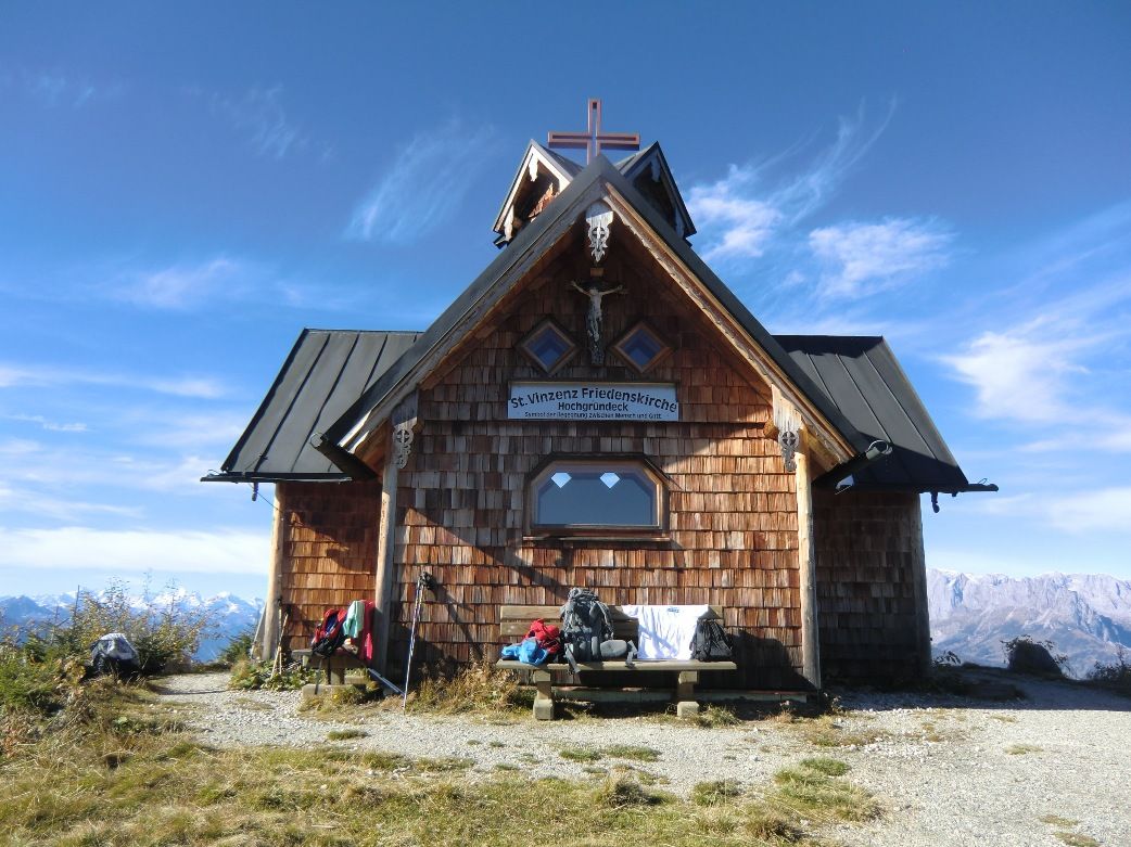
Bergkapelle0,6 kmHeinrich-Kiener-Haus3,6 kmSt. Vinzenz Friedenskirche3,8 kmHochgründeck (1.827 m)4,3 km
- Meilleure saison
-
janv.févr.marsavrilmaijuinjuil.aoûtsept.oct.nov.déc.
- Hauteur maximale
- 1.814 m
- Point de mire
-
summit Hochgründeck
- Profil en hauteur
-


-

-
AuteurLa randonnée Hochgründeck (1827m) - from Ginau est utilisé par outdooractive.com fourni par.
GPS Downloads


Informations générales
Point de rassemblement
Prometteur
Autres parcours dans les régions